- Massachusetts Route 140
-
Route 140

Route information Length: 107.76 mi[1] (173.42 km) Major junctions South end:  US-6 in New Bedford
 I-195 in New Bedford
 Route 24 in Taunton
 US-44 in Taunton
 I-495 in Mansfield and Franklin
 I-95 in Foxborough
 Route 9 in Shrewsbury
 US-20 in Shrewsbury
 I-290 in Shrewsbury
 I-190 in Sterling
 Route 2 in Westminster
North end:  Route 12 in Winchendon
Highway system Massachusetts State Highway Routes
←  Route 139
Route 141  →
→Route 140 is a 107.8-mile (173.5 km) long state highway which passes through parts of southeastern and central Massachusetts. The highway follows a southeast-northwest trajectory, running from U.S. Route 6 in New Bedford just north of Buzzards Bay northwest to an intersection with Massachusetts Route 12 in Winchendon, a few miles south of the border with New Hampshire.[2]
The southern 19 miles (30 km) of Route 140 runs as a freeway between New Bedford and Taunton south from exit 12 off Route 24 to its southern terminus at US-6.
Contents
Route description
Exit list (New Bedford Expressway)
The New Bedford Expressway has 12 numbered interchanges. The southbound intersection with U.S. Route 6, despite being an at-grade intersection, is signed as Exit 1 on the overhead guide sign. The I-195 interchange was formerly signed as Exits 2E and 2W, but have been resigned as Exits 2A and 2B. Likewise, the interchange with Route 24 formerly signed Exits 12N and 12S are now signed as Exits 12A and 12B.[3]
County Location Exit # Mile[4] Intersecting road Notes  begins at
Bristol New Bedford (1) 0.0 U.S. Route 6Southbound exit/northbound entrance only.
At-grade intersection.2A-B 1.16 Interstate 1953 1.51 Hathaway Road 4 3.17 Kings Highway
New Plainville Road
Mount Pleasant Street5 4.96 Church Street
Phillips Road6 5.68  Route 18 (Ashley Boulevard)
Southbound exit/northbound entrance only 7 6.77 Braley Road To Route 18. East Freetown 8 9.85 Chace Road Plymouth Lakeville 9 12.24 County Street Bristol Taunton 10 15.97  Route 79
REST AREA REST AREA 11 18.69 Stevens Connector To the Silver City Galleria Mall.
Split into 11B-A southbound.12A-B 19.20 Route 24Controlled access highway ends here.
Northbound exit 12B requires a left turn at stoplight.
Southbound exit 12A requires a left turn at stoplight.
Route 24 Exit 12.Freeway ends at 
continues north as a full access arterial road.Junction list (north of freeway)
County Location Mile Roads intersected Notes Bristol Taunton 19.0 Route 24Northern end of Route 140 (New Bedford) freeway.
Route 24 Exit 12.
U.S. Route 44 EastEastern terminus of US-44/Route 140 concurrency. 
U.S. Route 44 West
 Route 138
Western terminus of US-44/Route 140 concurrency. Norton  Route 123
Brief concurrency with Route 123.
To Interstate 495 South, via Route 123 East.Mansfield Interstate 495Brief concurrency with I-495, Exits 11-12.
Exit 11 is a partial interchange, no access to I-495 South from Route 140 North,
no access to Route 140 South from I-495 North.
These movements can be facilitated by the Exit 10 interchange with Route 123. Route 106
Norfolk Foxborough  Interstate 95
I-95 Exits 7A-B.
To Interstate 495, via I-95 South. U.S. Route 1
No direct intersection; this junction is facilitated by local roads:
East Street, to US-1 South; and Main Street, to US-1 North. Route 115
Southern terminus of Route 115. Wrentham  Route 1A
To  Route 121, via Route 1A South.
Franklin Interstate 495I-495 Exit 17. Bellingham  Route 126
Brief concurrency with Route 126.
To Interstate 495 South, via Route 126 North.Worcester Milford  Route 16
Grafton 

 Route 122 South
Southern terminus of Route 122/140 concurrency.  I-90/Mass Pike
No access between I-90 and Route 122/140. 
Route 122 NorthNorthern terminus of Route 122/140 concurrency.
To I-90/Mass Pike. Route 30
Western terminus of Route 30. Shrewsbury  U.S. Route 20
Interchange. Route 9 Interstate 290I-290 Exits 23A-B. Boylston  Route 70
West Boylston
Route 12 SouthSouthern terminus of Route 12/140 concurrency.
Route 12 NorthNorthern terminus of Route 12/140 concurrency.
To Route 110.
Sterling Interstate 190I-190 Exit 5.  Route 62
Princeton
 Route 31 South
Southern terminus of Route 31/140 concurrency.
Route 31 SouthNorthern terminus of Route 31/140 concurrency. Westminster
Route 2 East
 Route 2A
Brief concurrency with Route 2A.
Route 140 North joins the Route 2 freeway westbound at Exit 25.
Route 2 WestRoute 140 North leaves the Route 2 freeway westbound at Exit 24B (Exit 24 eastbound). Gardner  Route 101
Winchendon 107.76 Route 12Northern terminus of Route 140.
To U.S. Route 202, via Route 12 North.
1.000 mi = 1.609 km; 1.000 km = 0.621 mi
Concurrency terminus • Closed/Former • Incomplete access • UnopenedMajor intersections
Route 140 crosses the following Interstate highways:
- Interstate 195 in New Bedford (exit 2)
- Route 24 in Taunton (exit 12)
- Interstate 95 in Mansfield (exit 7)
- Interstate 495 in Mansfield (concurrent with I-495 between exits 11 and 12), and again in Franklin (exit 17)
- Interstate 90 (The Massachusetts Turnpike) in Grafton (no interchange)
- Interstate 290 in Shrewsbury (Exit 23)
- Interstate 190 in Sterling (Exit 5)
-

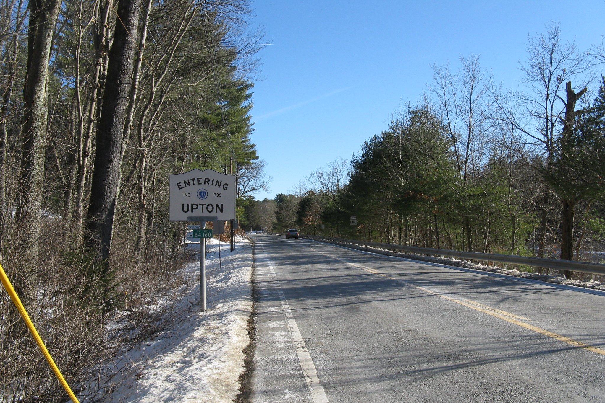
Southbound entering Upton
Major Highway Improvements
The section of Route 140 was Widened to 4 Lanes and Realigned in Franklin. The $22 Million Project was Completed in 2007.
MA-79 Truck


MA-140 runs partially concurrent with MA-79 Truck. It is signed from Exit 10 (MA-79) to Exit 12. At Exit 12 it runs onto MA-24 where it meets its parent at Exit 9.
History

The section of modern Route 140 from West Boylston to Gardner was numbered Route 64 when it was first commissioned by 1933. By 1939, the entirety of the route was redesignated as Route 140, effectively extending existing 140 northeast (it had previously run from New Bedford and ended in Grafton).[5]
Prior to the building of the freeway section, County Street (the section of road beginning at the Taunton River, and also known as County Road) brought the road southward through East Taunton, Berkley, Lakeville and East Freetown. The road, which runs parallel to the freeway and crosses it in Lakeville, merged with Route 18 in East Freetown, just north of the New Bedford city limits. The old alignment begins in front of the Silver City Galleria in Taunton.
References
- ^ Executive Office of Transportation, Office of Transportation Planning - 2005 Road Inventory
- ^ "Massachusetts Atlas and Gazetteer." Yarmouth, Maine: DeLorme. First Edition, 1998.
- ^ "Street Atlas of Metro Boston and Eastern Massachusetts." Bridgewater, Massachusetts: Arrow Map, Inc. 2003 Edition.
- ^ Massachusetts Executive Office of Transportation. 2007. "Interchange List (MA 140)" Downloaded from:http://www.eot.state.ma.us/default.asp?pgid=planning/disc/interchanges&sid=dtable August 7, 2011.
- ^ Neilbert.com Home: MA 140
External Links
Freeways in the Providence metropolitan area Interstate highways Other freeways Unbuilt freeways See also Categories:- Numbered routes in Massachusetts
- New Bedford, Massachusetts
- Freetown, Massachusetts
- Lakeville, Massachusetts
- Taunton, Massachusetts
- Norton, Massachusetts
- Mansfield, Massachusetts
- Foxborough, Massachusetts
- Wrentham, Massachusetts
- Franklin, Massachusetts
- Bellingham, Massachusetts
- Mendon, Massachusetts
- Milford, Massachusetts
- Hopedale, Massachusetts
- Upton, Massachusetts
- Grafton, Massachusetts
- Shrewsbury, Massachusetts
- Boylston, Massachusetts
- West Boylston, Massachusetts
- Sterling, Massachusetts
- Princeton, Massachusetts
- Westminster, Massachusetts
- Gardner, Massachusetts
- Winchendon, Massachusetts
- Transportation in Bristol County, Massachusetts
- Transportation in Plymouth County, Massachusetts
- Transportation in Norfolk County, Massachusetts
- Transportation in Worcester County, Massachusetts


Wikimedia Foundation. 2010.