Malta Freeport

Malta Freeport
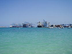
View of Malta Freeport

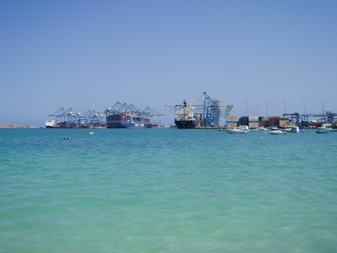
Malta Freeport, also called Marsaxlokk Port and Marsaxlokk Harbour, is an international port on the island of Malta. It is the 10th busiest container port in Europe and 43rd in the world with a trade volume of 2.3 million TEU's in 2008.[1] It lies in Marsaxlokk in the eastern part of Malta.

Malta Freeport

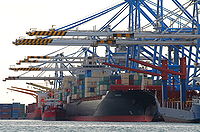
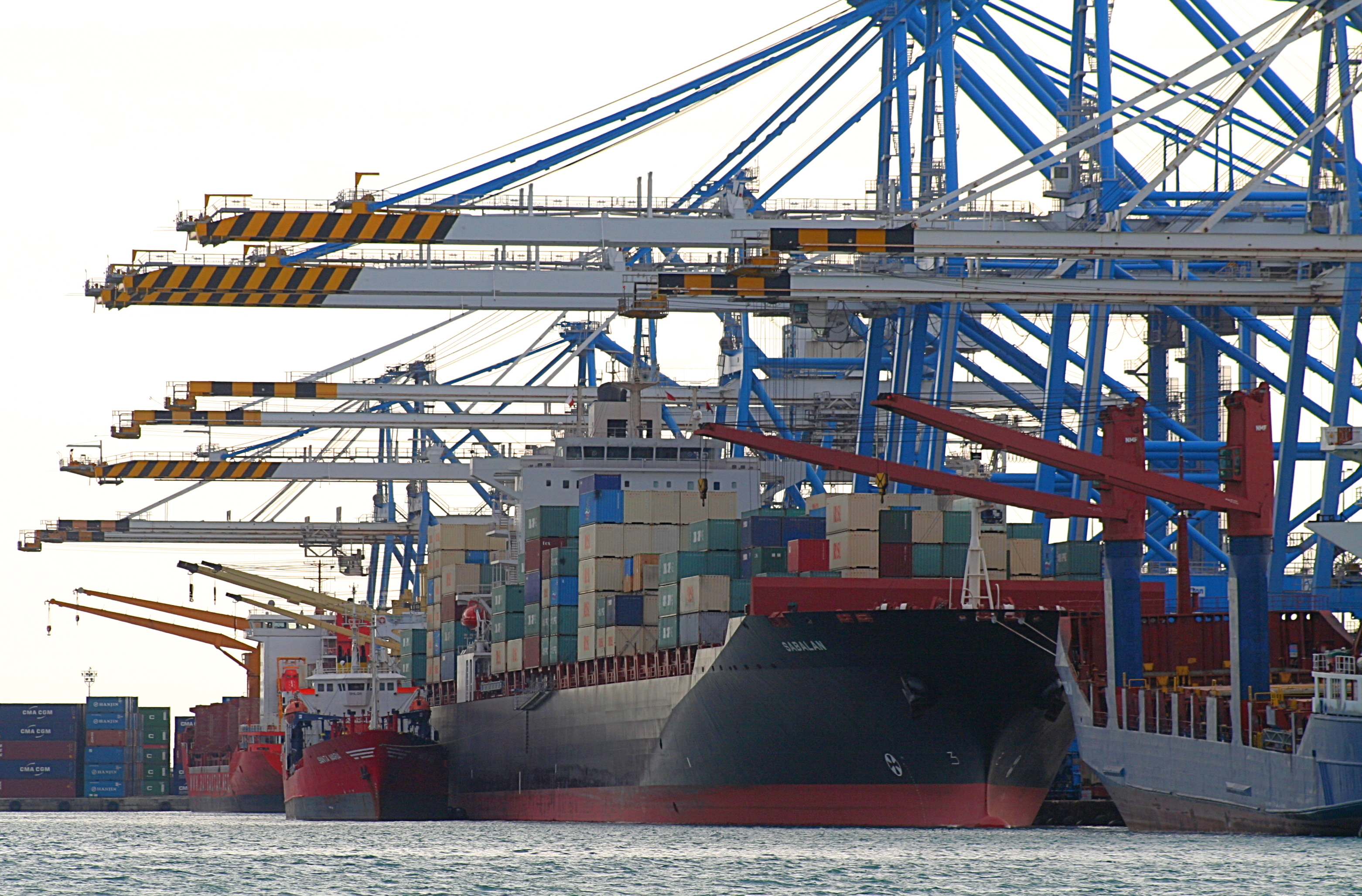
As the Mediterranean’s fourth largest transhipment port, Malta Freeport represents a strategic platform for the shipping lines that have chosen it as their Mediterranean hub port being located at the crossroads of some of the world’s greatest shipping routes and in the heart of the Europe, Africa and Asian's Middle East triangle. Malta Freeport terminals will be increasing its quay length on both terminals from the present operational length of 2.2 kilometres to over 3 kilometres and the total area (from 680,000) to 790,000 square metres (0.79 km²).[2]

See also

References

  1. ^ AAPA World Port Rankings 2008
  2. ^ About Us - Malta Freeport site

External links


Wikimedia Foundation. 2010.

Игры ⚽ Нужен реферат?

Look at other dictionaries:

  • Malta Maritime Authority — (MMA) used to be an independent state corporation and government agency that is responsible for the governance, operation, regulation and promotion of the ports of the Mediterranean archipelago nation of Malta. Operation of the principal cargo… …   Wikipedia

  • Malta — This article is about the Mediterranean country. For other uses, see Malta (disambiguation). Republic of Malta Repubblika ta Malta …   Wikipedia

  • Malta — <p></p> <p></p> Introduction ::Malta <p></p> Background: <p></p> Great Britain formally acquired possession of Malta in 1814. The island staunchly supported the UK through both world wars and… …   The World Factbook

  • Coastline of Malta — North western coastline of Malta. The coastline of Malta consists of bays, sandy beaches, creeks, harbours, small villages, cities, cliffs, vallies, and other interesting sites. Here, there is a list of these different natural features that found …   Wikipedia

  • Transport in Malta — The transportation system in Malta is small, and the islands small domestic system of public transport is reliant on buses and taxis, although there was a railway in the past.Malta s primary connection to other countries is its airport at… …   Wikipedia

  • History of Malta — This article is part of a series Ancient history …   Wikipedia

  • Maltese Government 2008-2013 — Malta This article is part of the series: Politics and government of Malta …   Wikipedia

  • Free port — A free port (porto franco) or free zone (US: Foreign Trade Zone) is a port or area with relaxed jurisdiction with respect to the country of location. Free economic zones may also be called free ports. Most commonly a free port is a special… …   Wikipedia

  • Birżebbuġa — Towns (Malta) name = Birzebbugia coa = motto = Pax Salus Que Omnibus Peace and Health to Everyone official name = Birżebbuġa inhabitants name = Birżebbuġi (m), Birżebbuġija (f), Birżebbuġin (pl) other names = B Buġa (code: BBĠ) latitude = 35°49… …   Wikipedia

  • Marsaxlokk — Wappen Karte Basisdaten Fläche …   Deutsch Wikipedia

Share the article and excerpts

Direct link
Do a right-click on the link above
and select “Copy Link”