- Marlow Urban District
-
Coordinates: 51°34′00″N 0°46′00″W / 51.566667°N 0.766667°W
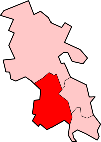
Marlow Geography Status Urban District 1911 area 968 acres (3.9 km2) 1961 area 1,661 acres (6.7 km2) History Created 1896 Abolished 1974 Succeeded by Wycombe Demography 1901 population 4,526 1971 population 11,732 Marlow Urban District was a local government authority in the administrative county of Buckinghamshire, England, between 1896 to 1974.
The urban district had a single civil parish called Marlow Urban which comprised the town of Marlow. Between 1894 and 1896 Marlow had been part of Wycombe Rural District. In 1974 Marlow UD was disbanded as a result of the Local Government Act 1972 and the town became part of Wycombe District Authority.
References
 History of local government districts in Buckinghamshire
Ancient boroughs Amersham · Aylesbury · Brill · Buckingham · Chepping Wycombe · Fenny Stratford · Great Marlow · Newport Pagnell · Olney · WendoverIncorporated boroughs Urban districts Aylesbury · Beaconsfield · Bletchley · Chesham · Eton · Fenny Stratford · Linslade · Marlow · Newport Pagnell · Slough · Stratford and Wolverton · WolvertonRural districts Amersham · Buckingham · Eton · Hambleden · Long Crendon · Newport Pagnell · Stratford and Wolverton · Wing · WycombeCivil parishes Boundary changes affecting Buckinghamshire Categories:- Marlow, Buckinghamshire
- History of Buckinghamshire
- Local government in Buckinghamshire
- Districts of England abolished by the Local Government Act 1972
- Districts of England created by the Local Government Act 1894
- Urban districts of England
Wikimedia Foundation. 2010.