- Laurentian Hills
-
Town of Laurentian Hills — Town — Municipal offices in Point Alexander
Coordinates: 46°08′N 77°33′W / 46.133°N 77.55°WCoordinates: 46°08′N 77°33′W / 46.133°N 77.55°W Country  Canada
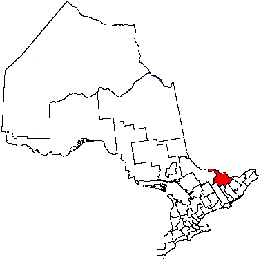
Province  Ontario
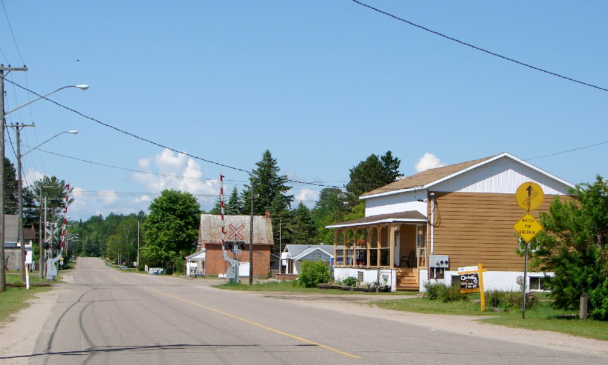
County Renfrew Established January 1, 2000 Area[1] – Land 640.37 km2 (247.2 sq mi) Population (2006)[1] – Total 2,789 – Density 4.4/km2 (11.4/sq mi) Time zone EST (UTC-5) – Summer (DST) EDT (UTC-4) Postal Code K0J 1J0 Area code(s) 613 Website town.laurentianhills.on.ca  Main Street in Chalk River.
Laurentian Hills is a municipality in Eastern Ontario, Canada, on the Ottawa River in Renfrew County. It surrounds Deep River. The town is home to the Nuclear Power Demonstration. The municipality was formed on January 1, 2000, when the United Townships of Rolph, Buchanan, Wylie and McKay and the Village of Chalk River were merged together.[2]
Contents
Communities
The town comprises the communities of Chalk River, Meilleurs Bay, Moor Lake, Point Alexander, Rolphton, and Wylie.
Demographics
According to the Canada 2006 Census:[1]
- Population: 2,789
- % Change (2001-2006): 1.4
- Dwellings: 1,230
- Area (km².): 640.37
- Density (persons per km².): 4.4
Population trend:[3]
- Population in 2006: 2789
- Population in 2001: 2750
- Population in 1996:
- Chalk River: 974
- Rolph, Buchanan, Wylie and McKay: 1810
- Population in 1991:
- Chalk River: 874
- Rolph, Buchanan, Wylie and McKay: 1656
Trivia
An Ontario Historical Plaque in front of the School House Museum was erected by the province to commemorate the role of Steamboating on the Upper Ottawa in Ontario's heritage. [4]
External links
References
- Mercer, Jennifer. "Staying the Run: A History of Rolph, Buchanan, Wylie and McKay Townships."
- ^ a b c Statistics Canada 2006 Census
- ^ "Municipal Profiles". County of Renfrew. http://www.countyofrenfrew.on.ca/municipalprofiles.htm. Retrieved 2009-01-15.
- ^ Statistics Canada: 1996, 2001, 2006 census
- ^ Ontario Plaque

Head, Clara and Maria Ottawa River, bridge to
Rapides-des-Joachims, QuebecDeep River Unorganized Nipissing District
(Algonquin Park)
Ottawa River /
Sheenboro, Quebec Laurentian Hills

Laurentian Valley Petawawa Cities Pembroke 1
Towns Townships First Nations reserves See also: Communities in Renfrew County • Census divisions of Ontario
1 Separated municipality but remains a census subdivision of the countyCategories:- Municipalities in Renfrew County, Ontario
- Towns in Ontario
- Eastern Ontario geography stubs

Wikimedia Foundation. 2010.