- IV District, Turku
-
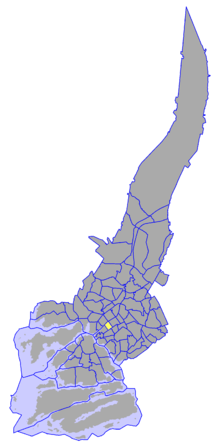 The IV District on a map of Turku.
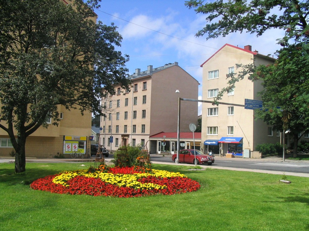
 A park in Martti.
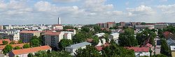 View over Martti.
The IV District, also known as Martti (Finnish; Martins in Swedish), is one of the central districts of Turku, Finland. It is located on the east side of the river Aura, between Tervahovinkatu in the west and Betaniankatu and Martinkatu in the east. The district is one of the smallest in Turku, and is centred around the Martinkirkko church, named after the reformer Martin Luther (Martti Luther in Finnish). Martti is also one of the most expensive areas to live in Turku.
The district is rather densely populated, and has a population of 4,357 (as of 2004[update]) and an annual population growth rate of -0.46%. 7.16% of the district's population are under 15 years old, while 18.80% are over 65. The district's linguistic makeup is 90.22% Finnish, 8.40% Swedish, and 1.38% other.
See also
Districts of Turku City Centre 
I District | II District | III District | IV District (Martti) | V District (Itäranta) | VI District | VII District | VIII District (Port Arthur) | IX District (Länsiranta) | Iso-Heikkilä | Korppolaismäki | Kupittaa | Kurjenmäki | Kähäri | Mäntymäki | Pihlajaniemi | Pitkämäki | Pohjola | Port of Turku | Raunistula | Vähäheikkilä
Coordinates: 60°26′26″N 22°15′20″E / 60.44056°N 22.25556°E
Categories:- Districts of Turku
- Western Finland geography stubs


Wikimedia Foundation. 2010.