- Mikawa Wan Quasi-National Park
-
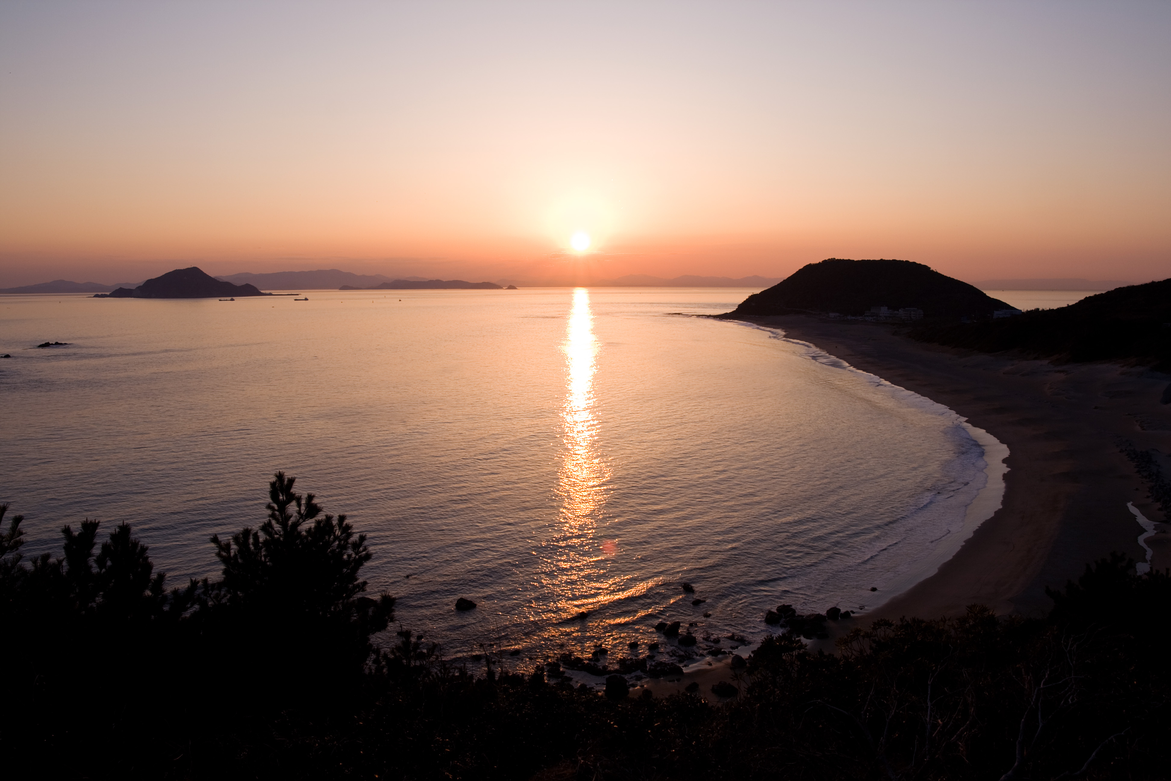
Mikawa Wan Quasi-National Park 三河湾国定公園 IUCN Category V (Protected Landscape/Seascape)
Cape IragoLocation Aichi Prefecture, Japan Coordinates 34°36′59″N 137°8′49″E / 34.61639°N 137.14694°ECoordinates: 34°36′59″N 137°8′49″E / 34.61639°N 137.14694°E Area 94.43 km² Established April 10, 1958 Governing body Aichi Prefecture [1] Mikawa Wan Kokutei Kōen (三河湾国定公園) is a Quasi-National Park in Aichi Prefecture, Japan.[2][3] It is rated a protected landscape (category V) according to the IUCN.[4] The park includes the coastal areas of Atsumi Peninsula, the Pacific shoreline of Chita Peninsula as well as islands and portion of the northern shoreline of Mikawa Bay.[5]
It was founded on 10 April 1958 and has an area of 94.4 km².[6]
Like all Quasi-National Parks in Japan, the park is managed by the local prefectural governments.[1]
See also
References
- Southerland, Mary and Britton, Dorothy. The National Parks of Japan. Kodansha International (1995). ISBN 4770019718
- ^ a b "National Park systems: Definition of National Parks". National Parks of Japan. Ministry of the Environment of the Government of Japan. http://www.env.go.jp/en/nature/nps/park/system/teigi.html. Retrieved 2008-08-29.
- ^ "三河湾国定公園". Ministry of the Environment. http://www.biodic.go.jp/jpark/qnp/mikawa.html. Retrieved 10 May 2011.
- ^ "三河湾/鈴鹿/室生赤目青山/琵琶湖". National Parks Assocation of Japan. http://www.npaj.or.jp/parks/quasi-np/08.html#q32. Retrieved 10 May 2011.
- ^ MPA Global Database
- ^ "Mikawa Wan Quasi National Park". World Database on Protected Areas. United Nations Environment Programme, World Conservation Monitoring Center. http://protectedplanet.net/sites/Mikawa_Wan_Quasi_National_Park.
- ^ "List of National Parks". Ministry of the Environment. http://www.env.go.jp/en/nature/npr/ncj/parks_list.html. Retrieved 10 May 2011.
Categories:- IUCN Category V
- Japan protected area stubs
- National parks of Japan
- Aichi Prefecture
- Protected areas established in 1958

Wikimedia Foundation. 2010.