- Millhurst, New Jersey
-
Millhurst, New Jersey — Unincorporated community — 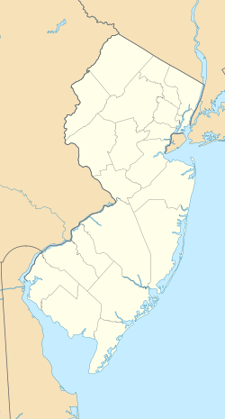
 Millhurst, New Jersey
Coordinates: 40°15′13″N 74°20′30″W / 40.25361°N 74.34167°WCoordinates: 40°15′13″N 74°20′30″W / 40.25361°N 74.34167°W Country United States State New Jersey County Monmouth Township Manalapan Elevation 141 ft (43 m) Time zone Eastern (EST) (UTC-5) – Summer (DST) EDT (UTC-4) Area code(s) 732 GNIS feature ID 878379[1] Millhurst is an unincorporated area within Manalapan Township, Monmouth County, New Jersey. Route 33 and CR 527 pass through the center of Millhurst.
References
Categories:- Manalapan Township, New Jersey
- Populated places in Monmouth County, New Jersey
- Unincorporated communities in New Jersey
- New Jersey geography stubs


Wikimedia Foundation. 2010.