- Miners Way and Historical Trail
-
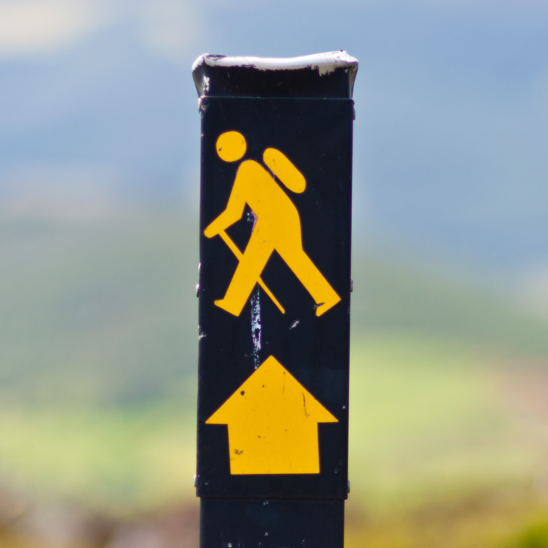
Miners' Way and Historical Trail Length 118 km (73 mi)[1] Location Counties Leitrim, Roscommon & Sligo, Ireland Designation National Waymarked Trail[1] Trailheads Arigna Use Hiking Elevation Gain/Loss 2,340 m (7,677 ft)[1] Trail difficulty Stenuous[1] Season Any The Miners' Way and Historical Trail is a long-distance trail in Ireland. It is a 118-kilometre (73-mile) long circular route that begins and ends in Arigna, County Roscommon. It is typically completed in five days.[1] It is designated as a National Waymarked Trail by the National Trails Office of the Irish Sports Council and is managed by Roscommon Integrated Development Company, Roscommon County Council, Leitrim County Council and Sligo County Council.[2] The trail was developed to encourage tourism in the area in the wake of the closure of the Arigna mines in 1990.[3] The route was originally conceived by a local priest, Father Sean Tynan, and built with funding from the European Regional Development Fund.[4] The trail was opened by broadcaster Donncha Ó Dúlaing in July 2000.[4]
The trail consists of three looped routes that travel through neighbouring parts of Counties Roscommon, Leitrim and Sligo. The Miners' Way is 62 kilometres (39 miles) long and follows paths used by miners working in the Arigna coal mines and makes a circuit via Keadue, Ballyfarnon and Corrie Mountain.[5] The Historical Trail is 56 kilometres (35 miles) long and makes a circuit of Lough Key and Lough Arrow via Keadue, Lough Key Forest Park, Boyle, Carrowkeel, Castlebaldwin, Highwood and Ballyfarnon.[5] A third trail makes a circuit of Lough Allen via Drumkeeran, Dowra and Drumshanbo.[5]
Parts of the Miners' Way and Historical Trail also form part of the Beara-Breifne Way, a walking and cycling route under development, intended to run from the Beara Peninsula, County Cork to Breifne, County Leitrim following the line of Donal Cam O'Sullivan Beare's march in the adtermath of the Battle of Kinsale in 1602.[6]
Contents
References
Notes
- ^ a b c d e "Miners' Way and Historical Trail". IrishTrails. Irish Sports Council. http://www.irishtrails.ie/trail/Miners-Way---Historical-Way/23/. Retrieved 3 August 2011.
- ^ National Trails Office 2010, p. 40.
- ^ Brennan, Paul (6 September 2000). "Arigna marks 10th anniversary of coalmines closure". Leitrim Observer (Carrick-on-Shannon): p. 18.
- ^ a b "Donncha O'Dulaing launches Miners' Way". Leitrim Observer (Carrick-on-Shannon): p. 14. 19 July 2000.
- ^ a b c "Activities - walking". VisitRoscommon.com. Roscommon Tourism. http://www.visitroscommon.com/walking.asp. Retrieved 3 August 2011.
- ^ "Walking". Beara-Breifne Greenway Project. http://www.bbgreenway.com/walking.htm. Retrieved 3 August 2011.
Bibliography
- National Trails Office (2010). "Setting New Directions. A review of National Waymarked Ways in Ireland" (pdf). Dublin: Irish Sports Council. http://www.irishtrails.ie/National_Trails_Office/Publications/NTO_Review.pdf. Retrieved 1 August 2011.
External links
Long-distance trails in the Republic of Ireland National Waymarked Trails Ballyhoura Way · Barrow Way · Bealach na Gaeltachta, Dún na nGall · Beara Way · Blackwater Way · Bluestack Way · Burren Way · Cavan Way · Croagh Patrick Heritage Trail · Dingle Way · Dublin Mountains Way · East Clare Way · East Munster Way · Grand Canal Way · Hymany Way · Kerry Way · Lough Derg Way · Mid Clare Way · Miners Way and Historical Trail · Monaghan Way · Multeen Way · Nore Valley Way · North Kerry Way · Offaly Way · Royal Canal Way · Sheep's Head Way · Slieve Bloom Way · Slieve Felim Way · Sligo Way · South Leinster Way · Suck Valley Way · Táin Way · Tipperary Heritage Way · Western Way · Westmeath Way · Wicklow Way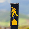
Pilgrim Paths Greenways Great Southern Trail · Great Western GreenwayOther Bangor Trail · Malin to MizenCategories:- Geography of County Roscommon
- Geography of County Leitrim
- Geography of County Sligo
- Visitor attractions in County Roscommon
- Visitor attractions in County Leitrim
- Visitor attractions in County Sligo
- Long-distance trails in the Republic of Ireland
Wikimedia Foundation. 2010.