- Misty Fiords National Monument
-
Misty Fiords National Monument IUCN Category IV (Habitat/Species Management Area)
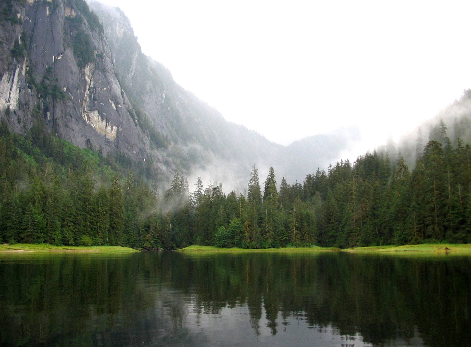
One of the thousands of ocean inlets at Misty Fiords.Location of Misty Fiords (green dot) in the United States and North America, with Alaska highlighted.
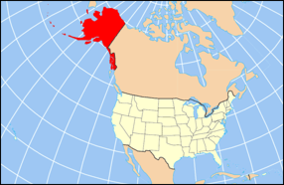
Location Ketchikan Gateway Borough, Alaska, USA Nearest city Ketchikan, AK Coordinates 55°37′18″N 130°36′26″W / 55.62167°N 130.60722°WCoordinates: 55°37′18″N 130°36′26″W / 55.62167°N 130.60722°W Area 2,294,343 acres (9,246 km²) Established December 1, 1978 Governing body U.S. Forest Service Misty Fiords National Monument (or Misty Fjords National Monument) is a National Monument and Wilderness Area administered by the US Department of Agriculture United States Forest Service 40 miles east of Ketchikan, Alaska, along the Inside Passage coast in extreme southeastern Alaska and covering 2,294,343 acres (9,246 km2) of Tongass National Forest in Alaska's Panhandle. All but 151,832 acres (614 km2) is designated Wilderness National Monument; Congress reserved the Non-wilderness National Monument area for the Quartz Hill molybdenum deposit, possibly the largest such mineral deposit in the world. The national monument was originally proclaimed by President Jimmy Carter in December 1978 as Misty Fiords National Monument[1], using the authorization of the Antiquities Act and became a part of an ongoing political struggle between the federal government and the State of Alaska over land use policy and authority that finally led to the Alaska National Interest Lands Conservation Act in 1980.[2] In that law, it was statutorily established as Misty Fjords National Monument.[3]
Contents
Physical geography
The area is called "The Yosemite of the North" for its similar geology. Light-colored granite, about 50 to 70 million years old (Eocene Epoch to Cretaceous Period) has been sculpted by glaciers that gouged deep U-shaped troughs throughout the monument. Many of the glacial valleys are filled with sea water and are called "canals", but they are not man-made in any way; the walls of these valleys are near-vertical and often rise 2,000 to 3,000 feet (600 to 900 m) above sea level, and drop 1,000 feet (300 m) below it.
Across from the Salmon River and Portland Canal and the settlement of Hyder, Alaska, small glaciers occupy high areas of the northeast part of the monument. Soule and Through Glaciers cover high plateaus and valleys in the Lincoln and Seward Mountains, where one peak rises to 6,250 feet (1,900 m) above sea level. Most mountain tops in the monument are in the 4,000 to 5,000 foot (1,200 to 1,500 m) elevation range. Tree line is usually around 2,700 feet (800 m).
Ecology
Western Hemlock, Sitka Spruce and Western Redcedar dominate the prolific rainforest vegetation; wildlife in abundance includes both Grizzly and Black Bears, many species of salmon, whales, mountain goats, and deer.
Visitor access
Because of the remoteness of the area, most visitors arrive by cruise ship or fly over the monument in tourist aircraft from Ketchikan or Juneau, Alaska. More adventurous travelers choose an overnight charter service or spend days exploring by kayak.
Economic activity
History
The region was first visited by Europeans in 1793 when George Vancouver explored up Behm Canal, the prominent sea-filled glacial trough along the western margin of the monument and separating it from Revillagigedo Island. Vancouver discovered New Eddystone Rock, a 237 foot (72 m) tall column of basalt in the middle of Behm Canal. It was formed within the past 5 million years by volcanic activity, evidence for which is scattered sparsely through the monument, including a lava flow high above Punchbowl Cove, and at Blue River in the far northern part of the monument near the Canadian border.
See also
References
- ^ Proclamation 4623 - Misty Fiords National Monument of December 1, 1978
- ^ Alaska Humanities Forum: ANILCA
- ^ Alaska National Interest Lands Conservation Act – PUBLIC LAW 96-487-DEC. 2, 1980, Sec 503
External links
- U.S. Forest Service: Ketchikan-Misty Fiords Ranger District
- Misty Fjords National Monument Guide at GORP.com
- Misty Fjords National Monument Wilderness at Wilderness.net
Categories:- IUCN Category IV
- Fjords of Alaska
- Landforms of Ketchikan Gateway Borough, Alaska
- Protected areas of Ketchikan Gateway Borough, Alaska
- National Monuments in Alaska
- Protected areas established in 1978
- USDA Forest Service areas

Wikimedia Foundation. 2010.