- Oreini, Elis
-
For other uses, see Oreini.
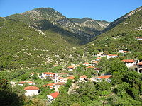 View of the Village
Oreini
ΟρεινήLocation 
 Oreini
Coordinates 37°52′N 21°51′E / 37.867°N 21.85°ECoordinates: 37°52′N 21°51′E / 37.867°N 21.85°E Government Country: Greece Region: West Greece Regional unit: Elis Municipality: Archaia Olympia Municipal unit: Lampeia Population statistics (as of 2001) Village - Population: 203 Other Time zone: EET/EEST (UTC+2/3)  Panorama of Oreini
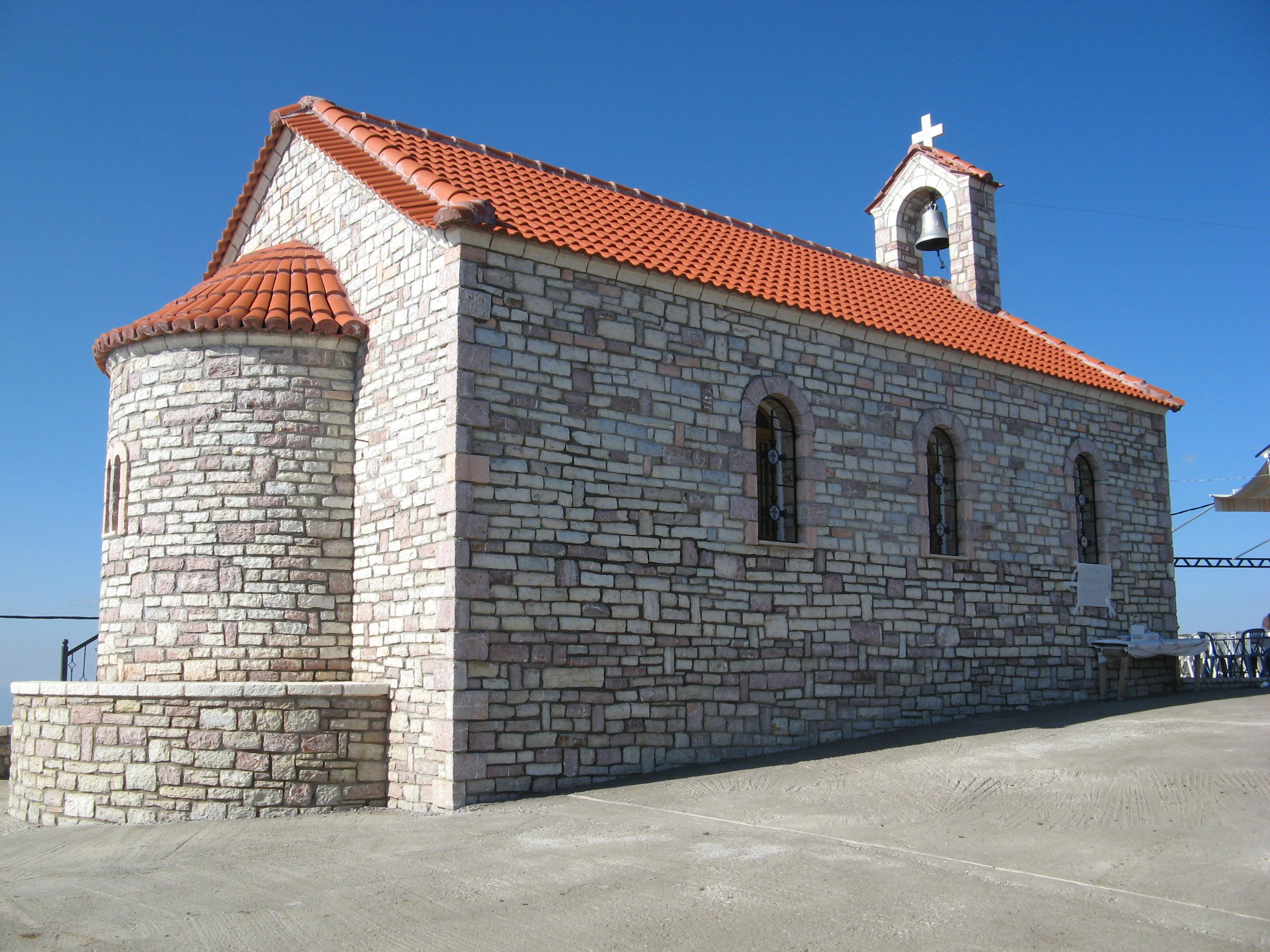
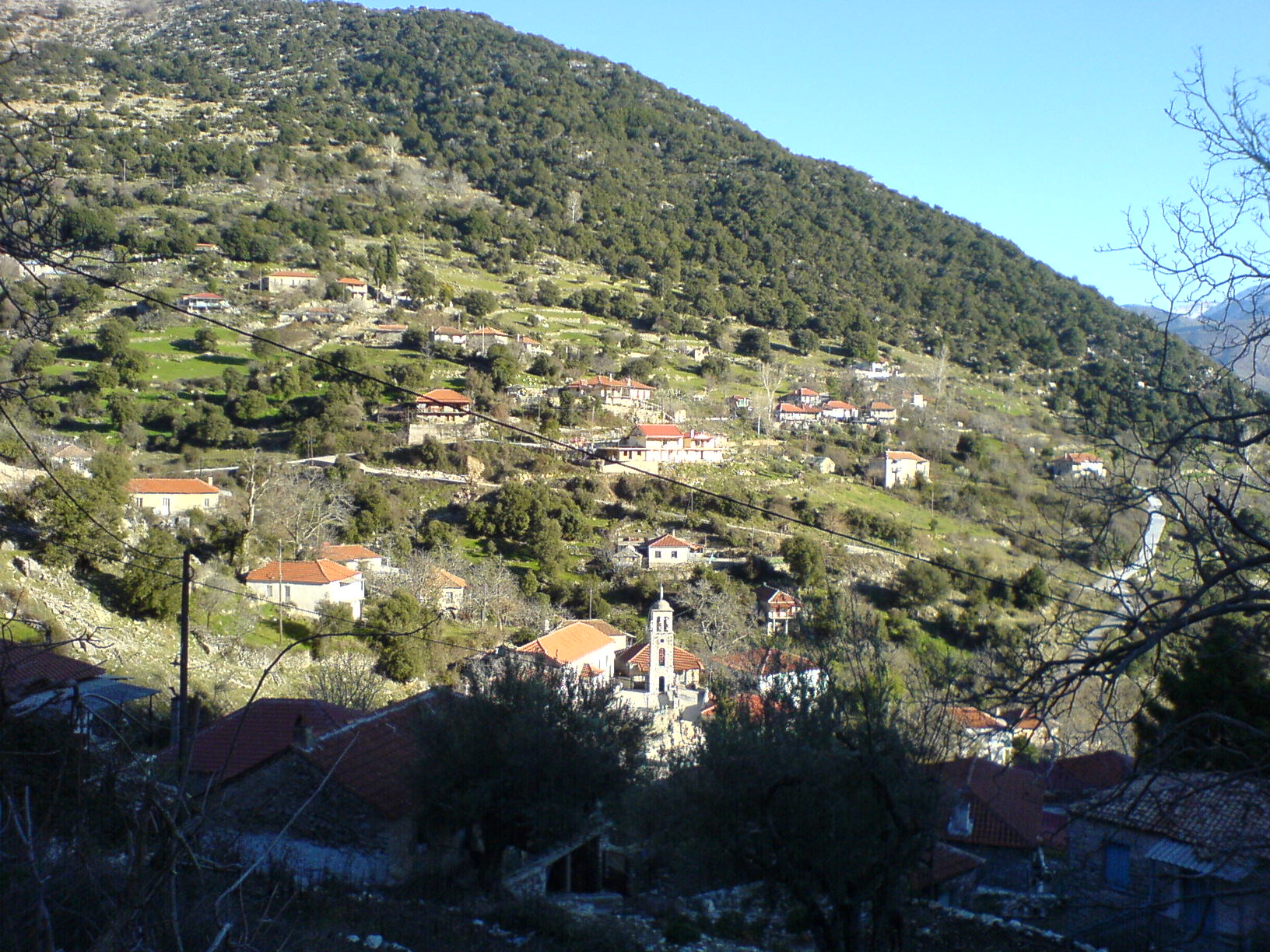
 Church of Agios Ioannis
Oreini (Greek: Ορεινή meaning mountainous) is a village in Greece in the municipal unit of Lampeia. It was formerly known as Mostenitsa (Μοστένιτσα), a name of Slavic origin. Oreini is built on the slopes of mount Lampeia or Divri. Oreini contains also the small settlement of Paliofytia.
Oreini is located west-northwest of Tripoli, 75 km northeast of Pyrgos and south-southeast of Patras.The population was 279 people in 1991, and 189 in 2001 (203 including Paliofytia).
Contents
Geography
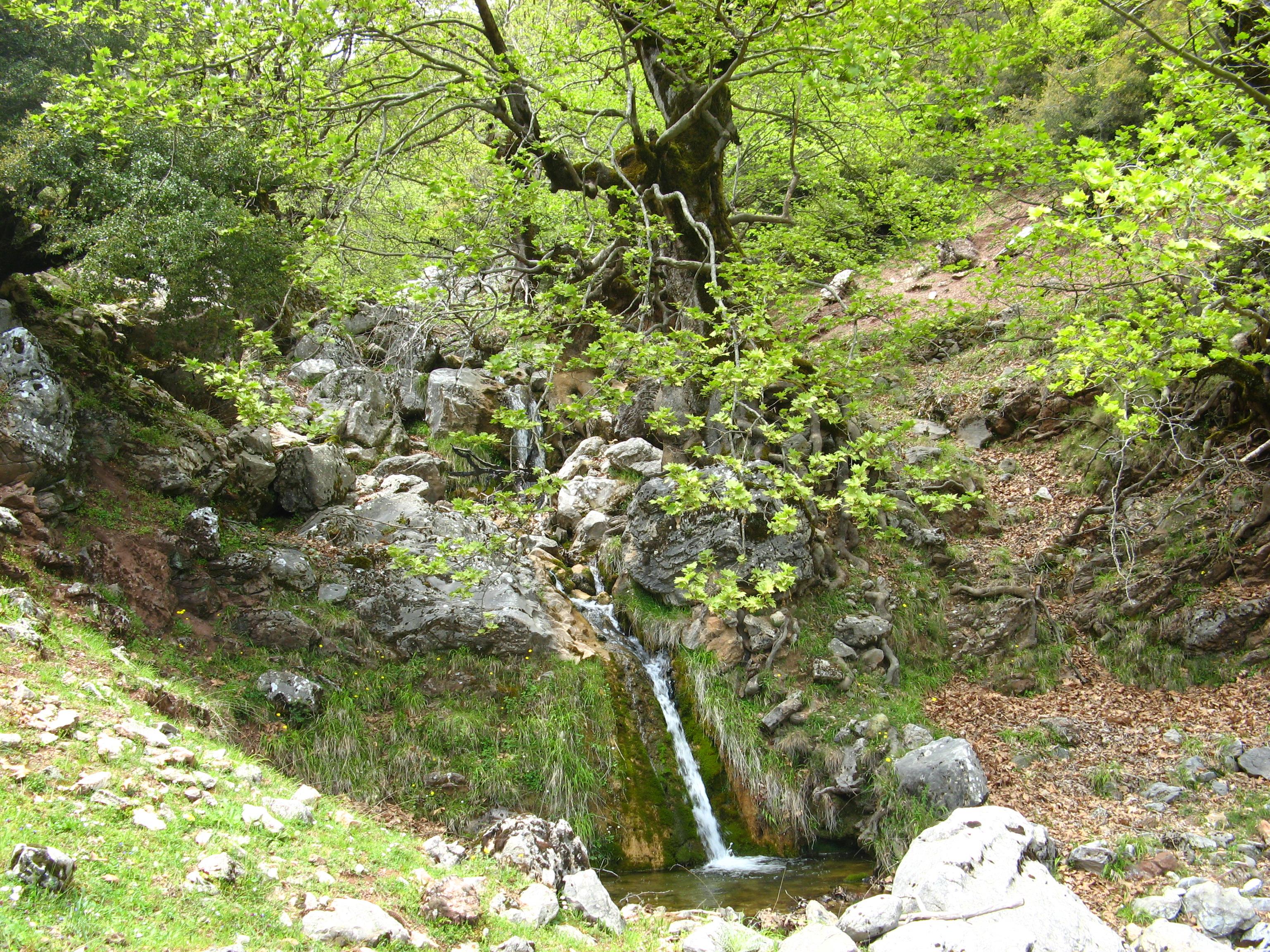
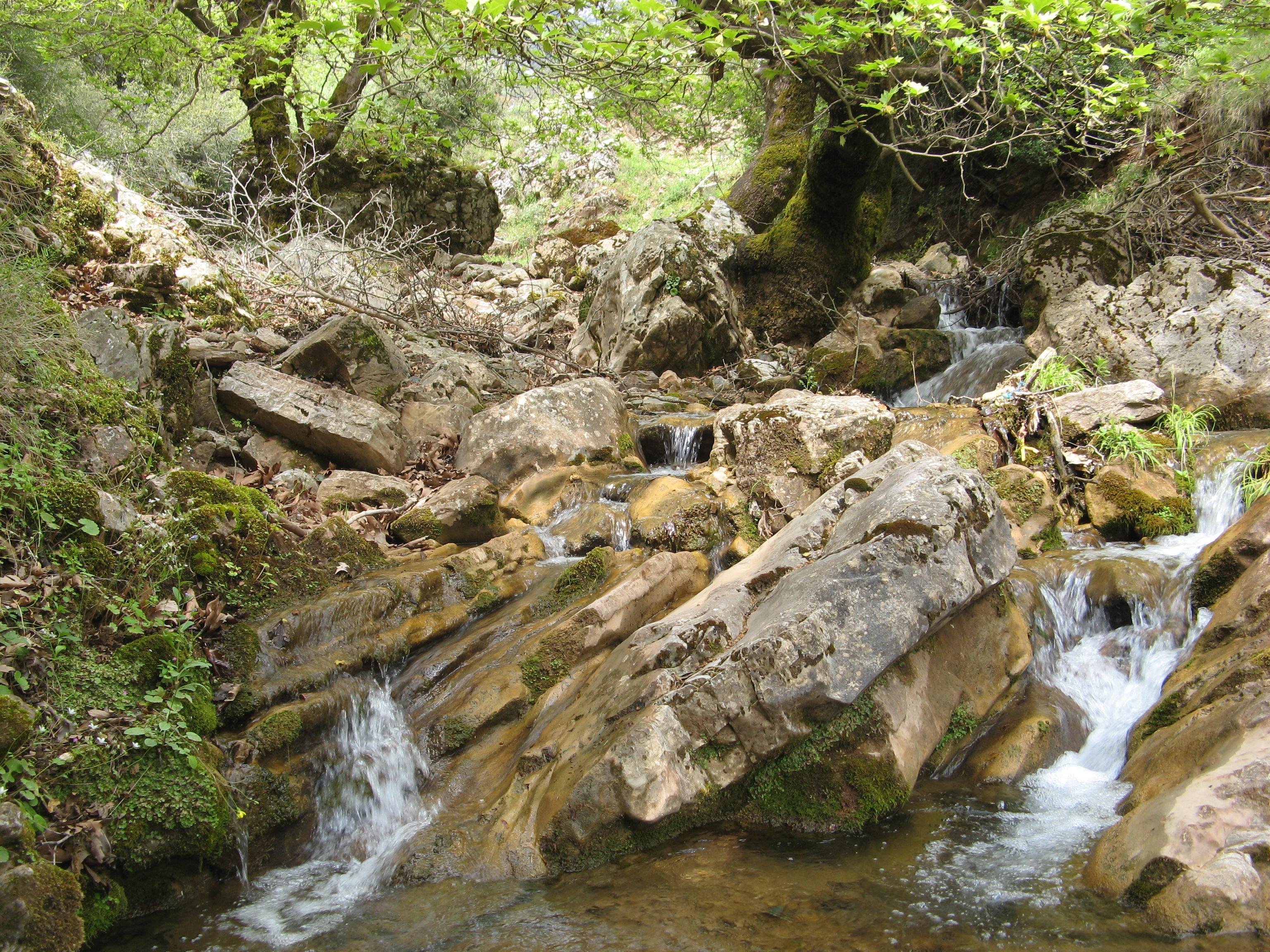
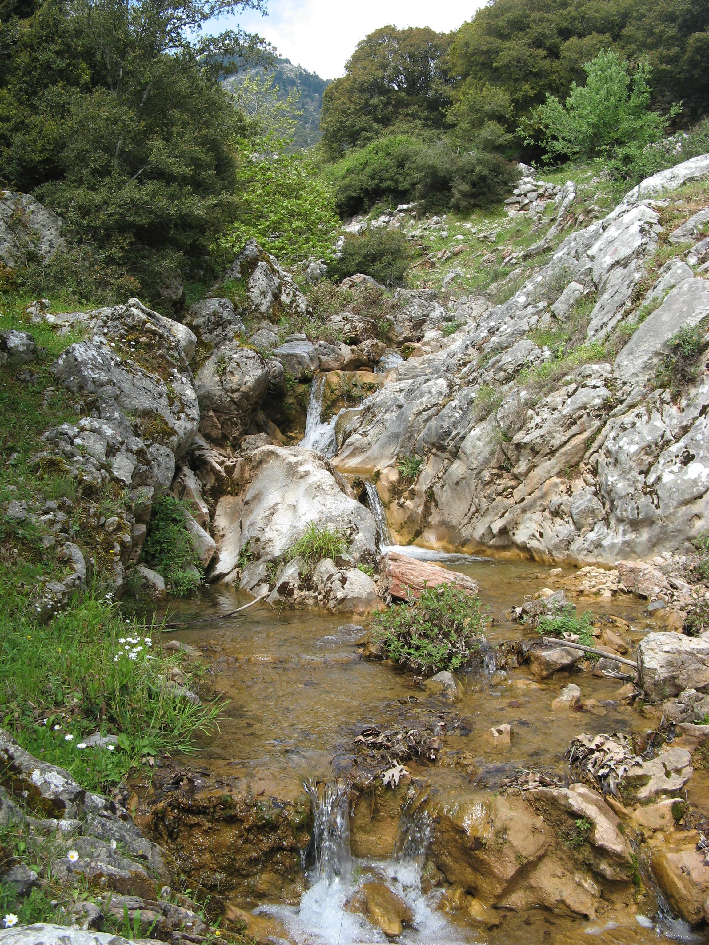
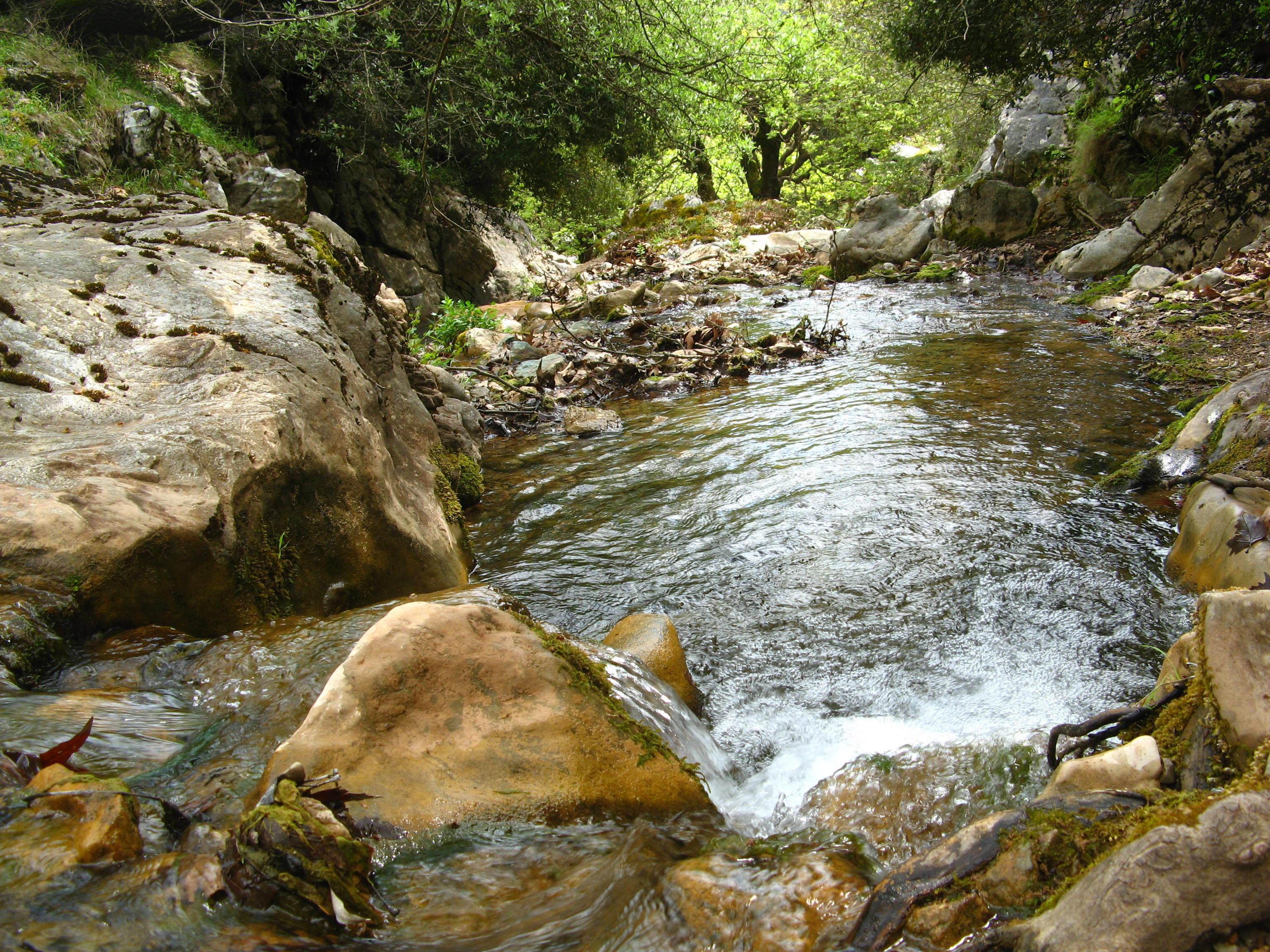
Oreini is located on a mountain range that extends from Katakolo to southwestern Lasiona. Much of the area are forested to the west and the east, farmlands are within the village area and some valleys.
History
The village dates back to the Slavic origin, it was later ruled by the Franks, Albanians? and the Ottomans. It finally joined the country of Greece after the Greek War of Independence, it produced a revolutionary leader Theodoros Papasimakopoulos who battled in Lalas. After World War II and the Greek Civil War, its houses were rebuilt, but its population left for larger cities of Greece and other parts of the world. Oreini became connected with asphalt in the 1960s. More pavement was accessed in the late 20th century. Electricity, radio and automobiles were introduced in the mid-20th century, television in the late-20th century and computer and internet at the turn of the millennium.
Economy
Most of the people are stockbreeders (sheeps ans goats) as are most of the people in the surrounding area,because of the nature of the landscape.Around twenty of its residents live off in agriculture.
See also
- List of places in the Ilia prefecture
External links
References
Municipal unit of Archaia Olympia Archaia Olympia · Archaia Pisa · Aspra Spitia · Chelidoni · Flokas · Irakleia · Kafkonia · Kamena · Kladeos · Koskinas · Kryoneri · Linaria · Louvro · Mageiras · Mouria · Pefkes · Pelopio · Platanos · Pournari · Smila · Strefi · Vasilaki · XirokamposMunicipal unit of Foloi Municipal unit of Lampeia Municipal unit of Lasiona Categories:- Populated places in Elis
-


Wikimedia Foundation. 2010.