- Mount Nasu
-
Mount Nasu 那須岳 
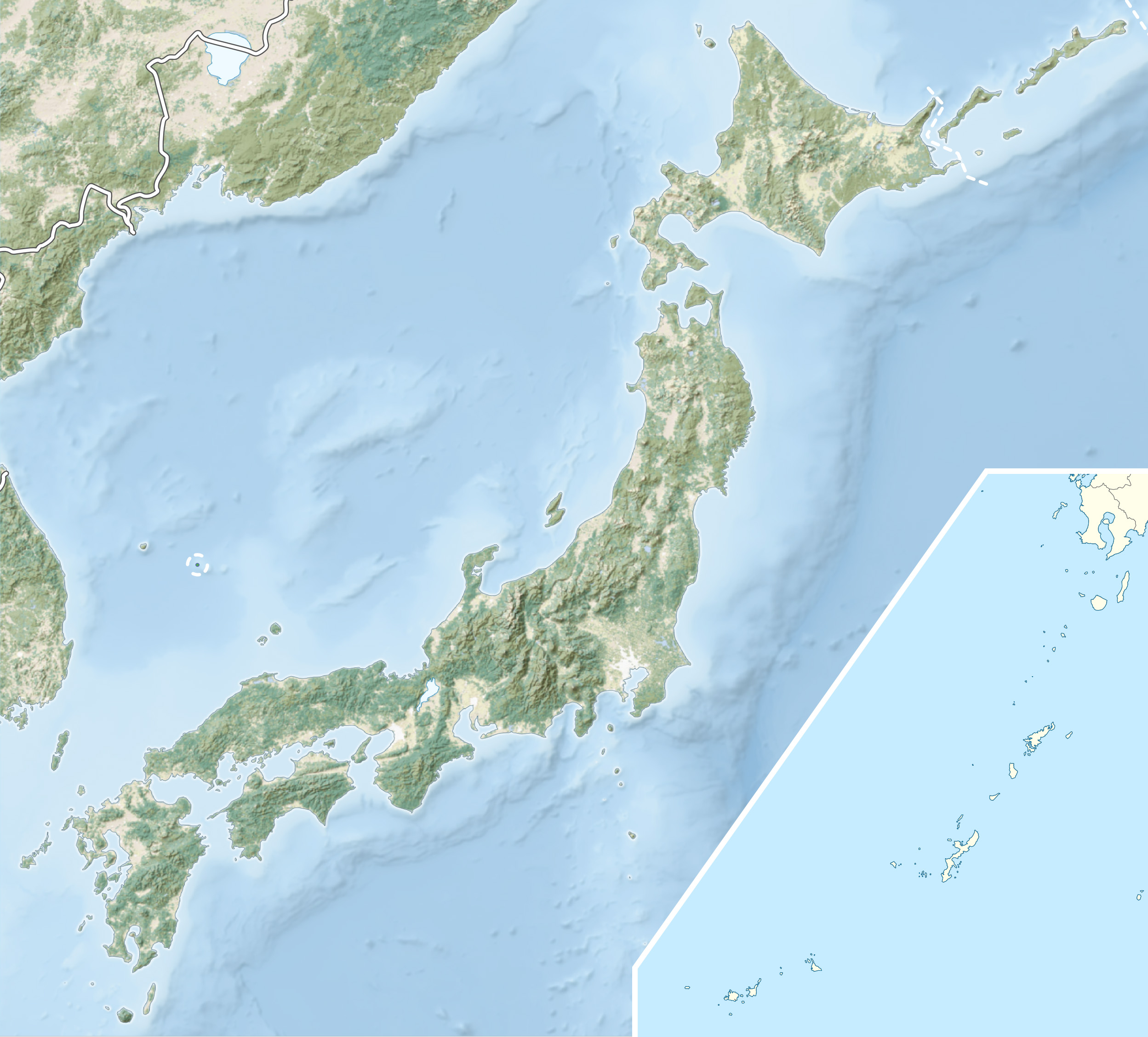
Elevation 1,916.9 m (6,289 ft) Location On the border of Nasushiohara and Nasu of Tochigi Prefecture, Nishigō, Nishishirakawa of Fukushima Prefecture, Japan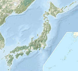
 Mount Nasu
Range Ōu Mountains Coordinates 37°09′N 139°57′E / 37.15°N 139.95°ECoordinates: 37°09′N 139°57′E / 37.15°N 139.95°E Geology Type Complex Volcano Last eruption 1963 Nov. 20
Mount Nasu (那須岳 Nasu-dake) is a group of complex volcanoes in Japan. The tallest peak is Sanbonyari Peak at a height of 1,916.9 m (6,289 ft). Mount Nasu is one of the 100 Famous Japanese Mountains, and is located in the northeast part of Nikko National Park.Contents
Major Peaks
Mount Nasu has the following major peaks,
- Sanbonyari Peak 1916.9m
- Chausu Peak 1915m
- Asahi Peak 1896m
- Nangetsu-san Peak 1776m
- Kuro-odani Peak 1589m
Thease peaks are known collectively as Nasu Five Peaks (那須5岳 Nasu-Go-Take).
Eruption
It is estimated that Mount Nasu started erupting 600 thousand years ago. The eruption started from the north end of the mountain range, at Kashi-Asahi Peak. Currently, only Chausu Peak is active.
Access
- Nasu Sancho Station of Nasu Ropeway
- Sandogoya Onsen Bus Stop of Toya Kotsu Bus
Gallery
-

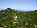
Chausu Peak and Asahi Peak
-

Chausu Peak and fumes
-

Asahi Peak
-

Chausu Peak from Asahi Peak
-

Asahi Peak from Chausu Peak
-

West view from Sanbonyari Peak
-
Sanbonyari Peak and snow in summer
-

Nikko Mountains from Chausu Peak
-

Lake Inawashiro and Aizu Mountains from Sanbonyari Peak
-

Asahi Mountains from Sanbonyari Peak
-

At the Sanbonyari Peak
References
- Nasu, Shiobara, Yama to Keikokusha Osakashikyoku, 2007
- Official Home Page of the Geographical Survey Institute in Japan
Categories:- Mountains of Tochigi Prefecture
- Visitor attractions in Tochigi Prefecture
- Mountains of Fukushima Prefecture
- Visitor attractions in Fukushima Prefecture


Wikimedia Foundation. 2010.