- Mpraeso
-
Coordinates: 6°34′48″N 0°43′47″W / 6.58°N 0.72972°W
Mpraeso Location in Ghana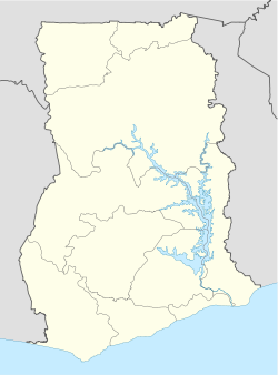
 Mpraeso
Coordinates: 6°34′48″N 00°43′47″W / 6.58°N 0.72972°W Country  Ghana
GhanaRegion Eastern Region District Kwahu South District Elevation 1,204 ft (367 m) Population (2005) - Total 36,000 Mpraeso is the capital of the Kwahu South District in Ghana, located at an altitude of 367 m on the Kwahu Plateau, which forms the south-west boundary of Lake Volta. Mpraeso is about three hours' drive north-west from Accra. The population is about 36,000.[1]
In the 2008 presidential elections run-off, 18,068 people in the Mpraeso constituency voted for Nana Akufo-Addo while 8,632 voted for John Atta Mills, the winner of the national vote.[2]
The town is the home of the Mpraeso Secondary School (MPASS).[3]
Mpraeso is famous for pottery, particularly for its grinding bowls: shallow dishes with strong, inverted rims and ridges on the interior used to grind vegetables such as tomato, pepper or okra using a small wooden pestle.[4]
The discovery of Bauxite near Mpraeso, announced in 1924, led to the development of the Bauxite mining industry along the Volta River.[5]
The headwaters of the Pra River are near Mpraeso.
References
- ^ "Mpraeso". Falling Rain. http://www.fallingrain.com/world/GH/0/Mpraeso.html. Retrieved 2009-03-18.
- ^ "Elections 2008 (R/O) : Mpraeso". MyJoy. http://blogs.myjoyonline.com/elections/2008a/constituency/101/. Retrieved 2009-03-18.
- ^ "Mpraeso Secondary School". Global Learning and Observations to Benefit the Environment. http://www.globe.gov/fsl/GSI/INDIV/SCHINFO/Display-print.pl?schl=z5UMgiz&lang=en&nav=0&foot=0. Retrieved 2009-03-18.
- ^ "In Ghana, Pottery is Women's Work". Studio Potter. http://www.studiopotter.org/articles/?art=art0011. Retrieved 2009-03-18.
- ^ Boahen, Adu (1975). Ghana : evolution and change in the nineteenth and twentieth centuries. London: Longman. ISBN 0582600650.
Categories:- Populated places in the Eastern Region, Ghana

Wikimedia Foundation. 2010.