- Mummulgum, New South Wales
-
Mummulgum
New South Wales
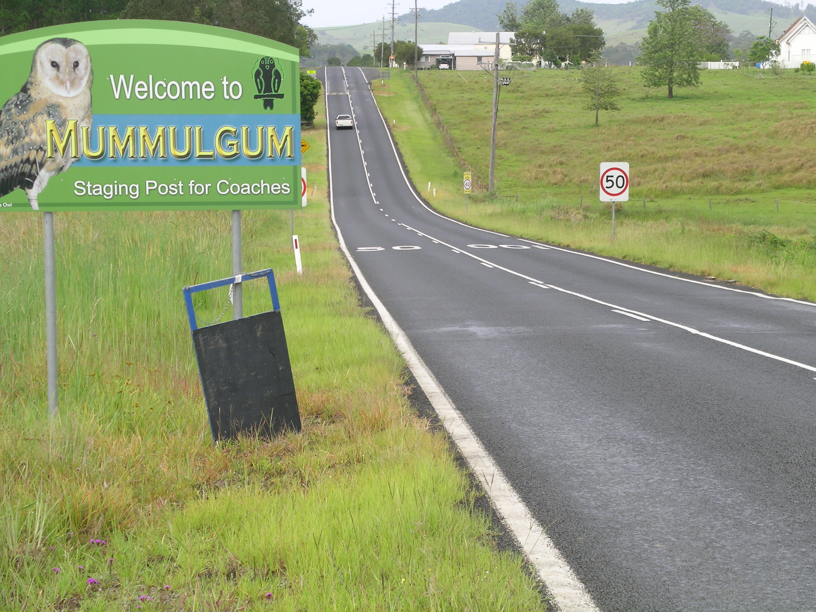
A Mummulgum entry sign.
 Mummulgum
Population: 345[1] Postcode: 2470 Coordinates: 28°51′00″S 152°48′00″E / 28.85°S 152.8°ECoordinates: 28°51′00″S 152°48′00″E / 28.85°S 152.8°E Elevation: 115 m (377 ft) LGA: Kyogle Council[2] County: Rous[2] Parish: Mummulgum[2] State District: Lismore[3] Federal Division: Page Mummulgum is a small rural village in the Northern Rivers region of New South Wales, Australia, 740 kilometres from the state capital, Sydney. Mummulgum is located on Shannon Brook between Tenterfield and Casino on the Bruxner Highway (Highway 44). It is 58 km south-west of Kyogle with the village and surrounding area being locally administered by Kyogle Council. The nearest large town is Casino which is 27 kilometres east of Mummulgum.
The name Mummulgum is an Aboriginal word for green pigeon or 'green fruit pigeon'.[2]
Population
According to the 2006 Census, there were 345 people living in Mummulgum and the surrounding area. The main form of employment was in agricultural production.[1] The village now has a public school.
References
- ^ a b Australian Bureau of Statistics (25 October 2007). "Mummulgum". 2006 Census QuickStats. http://www.censusdata.abs.gov.au/ABSNavigation/prenav/LocationSearch?collection=Census&period=2006&areacode=SSC18243&producttype=QuickStats&breadcrumb=PL&action=401. Retrieved 2011-06-28.
- ^ a b c d Geographical Names Board of New South Wales. "Extract - Mummulgum". Geographical Names Board - New South Wales Government. http://www.gnb.nsw.gov.au/name_search/extract?. Retrieved 28 June 2011.
- ^ Electoral Commission NSW (4 April 2008). "LISMORE". http://www.elections.nsw.gov.au/state_government_elections/electoral_districts/all_districts_/lismore. Retrieved 28 June 2011.
Categories:- Towns in New South Wales
- Australian Aboriginal placenames
- North Coast, New South Wales

Wikimedia Foundation. 2010.