- Municipal Borough of Aylesbury
-
Coordinates: 51°49′00″N 0°48′45″W / 51.8168°N 0.8124°W
Aylesbury Geography Status Urban district (1894–1917)
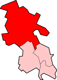
Municipal borough (1917–1974)1911 area 3,288 acres (13.3 km2) 1961 area 3,594 acres (14.5 km2) History Created 1894 Abolished 1974 Succeeded by Aylesbury Vale Demography 1901 population 9,243 1971 population 40,542 Aylesbury was, from 1894 to 1974, a local government district in Buckinghamshire, England. It was incorporated as a municipal borough in 1917.
The urban district took over the responsibilities of the disbanded Aylesbury Local Board District. The district contained the whole of the town and civil parish of Aylesbury. In 1917 the town was granted municipal borough status under the Municipal Corporations Act 1882.
In 1974, under the Local Government Act 1972 the municipal borough was abolished and replaced by the Aylesbury Vale district.
References
External links
 History of local government districts in Buckinghamshire
Ancient boroughs Amersham · Aylesbury · Brill · Buckingham · Chepping Wycombe · Fenny Stratford · Great Marlow · Newport Pagnell · Olney · WendoverIncorporated boroughs Urban districts Aylesbury · Beaconsfield · Bletchley · Chesham · Eton · Fenny Stratford · Linslade · Marlow · Newport Pagnell · Slough · Stratford and Wolverton · WolvertonRural districts Amersham · Buckingham · Eton · Hambleden · Long Crendon · Newport Pagnell · Stratford and Wolverton · Wing · WycombeCivil parishes Boundary changes affecting BuckinghamshireCategories:- Aylesbury
- Districts of England created by the Local Government Act 1894
- Districts of England abolished by the Local Government Act 1972
- History of Buckinghamshire
- Local government in Buckinghamshire
- Municipal boroughs of England
Wikimedia Foundation. 2010.