- Nahal Amud
-
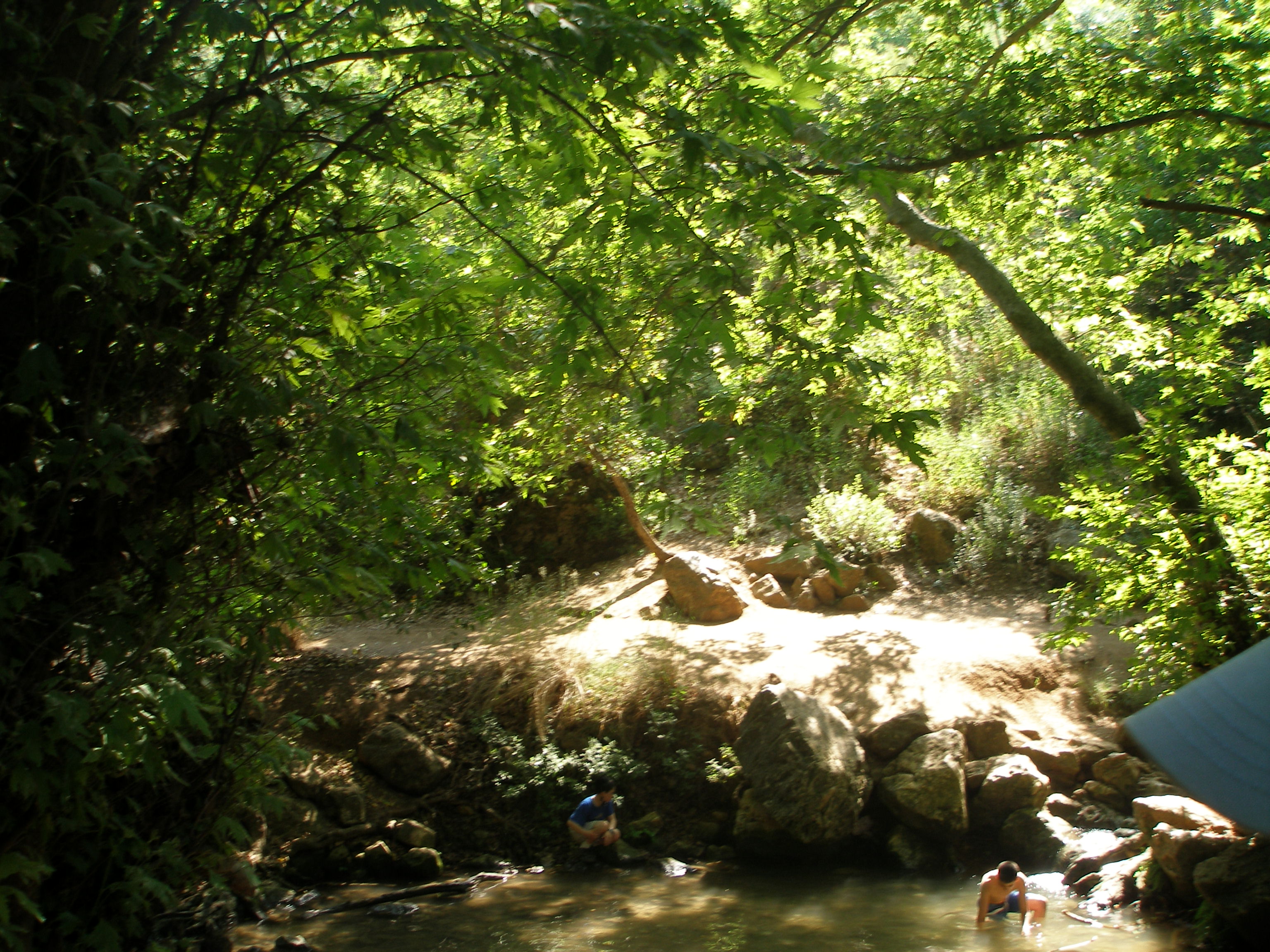
 The "column" In the Stream
Amud stream 
Amud streamLength 15.5 miles (25 km) The Amud stream (Hebrew: נחל עמוד), also known as the Wadi Amud, is a stream in the Upper Galilee which spills into the Sea of Galilee.
The source of the stream is at Ramat Dalton which is located 800 meters above sea level. Its drainage basin includes the peaks of Mount Canaan (955 meters) and Mount Meron (1,204 meters) and it flows towards south through the eastern Galilee to the north-west part of the of Sea of Galilee - a height of less than 200 meters below sea level. The stream is named after a pilar which is rising high above the ground and is located near one of the channels of the stream, near Kibbutz Hokuk. The gorge that forms the channel at this point holds many caves that were once inhabited by Galilee Man and later Neanderthals, and were the object of the first paleaological excavations in what was then Palestine in 1925-1925[1]. The caves also contained Mousterian and Acheulean artifacts.
Most of Nahal Amud (8923 dunams) was declared a nature reserve in 1972.[2]
References
- ^ Excavations in the Wadi Amud
- ^ "List of National Parks and Nature Reserves" (in Hebrew). Israel Nature and Parks Authority. http://parks.org.il/sigalit/muchrazim.pdf. Retrieved 2010-09-27.
External links
 Nature reserves of Israel
Northern District Ein Afek · Akhziv Islands · Alonei Yitzhak · Alonei Abba · Amud Stream · Nahal Ayun · Balfouria · Bitan Aharon · Nahal Betzet · Nahal Dishon · Dor Beach and Ma'agan Michael Islands · Ein Avazim · Ein Elah · Ein Nymphit · Ein Te'oh · Ein Yehuda · Nahal Gamal · Gamla nature reserve† · Snir Stream · Hermon nature reserve† · Nahal Hermon† · Hula Valley · Hurshat Tal · Hurshat Zakum · Kerem Ben Zimra · Nahal Kziv · Mount Arbel · Mount Carmel · Mount Gilboa · Mount Meron · Mount Tabor · Pa'ar Cave · Rosh HaNikra · Shamir-Nahal Rachum · Shimron · Nahal Taninim · Tel Anafa · Nahal Tavor · Tel Dan · Tel Shikmona · Nahal YehiamCentral District Adullam · Ashdod Nitzanim Sand Dune Park · Bnei Zion · Avshalom Cave · Ein Hemed · HaMasrek Reserve · Neot Kedumim · Nahal Poleg · Nahal Sorek · Tel Yitzhak · Te'omim Cave · UdimSouthern District Eilat Region Coral Beach Nature Reserve · Timna valley · Yotvata Hai-Bar† Located in the Israeli-occupied territories Coordinates: 32°52′51.31″N 35°30′11.75″E / 32.8809194°N 35.5032639°E
Categories:- Rivers of Israel
- Nature reserves in Israel
- Archaeological sites in Israel
- Prehistoric sites in Israel

Wikimedia Foundation. 2010.