- Honaunau-Napoopoo, Hawaii
-
Honaunau-Napoopoo, Hawaii
Hōnaunau, Napoʻopoʻo— CDP — Location in Hawaii County and the state of Hawaii
Country United States State Hawaii Counties Hawaii Area – Total 40.2 sq mi (104.2 km2) – Land 38 sq mi (98.5 km2) – Water 2.2 sq mi (5.7 km2) Population (2000) – Total 2,414 – Density 60/sq mi (23.2/km2) Honaunau-Napoopoo is a census-designated place (CDP) in Hawaii County, Hawaii, United States. The population was 2,414 at the 2000 census.
Contents
Geography
Honaunau-Napoopoo is located at 19°26′45″N 155°53′14″W / 19.44583°N 155.88722°W (19.445961, -155.887090).[1]
According to the United States Census Bureau, the CDP has a total area of 30.2 square miles (78 km2), of which, 38.0 square miles (98 km2) of it is land and 2.2 square miles (5.7 km2) of it (5.47%) is water.
The Board on Geographic Names officially designated the populated places as Hōnaunau and edit] Demographics
2000 Census data
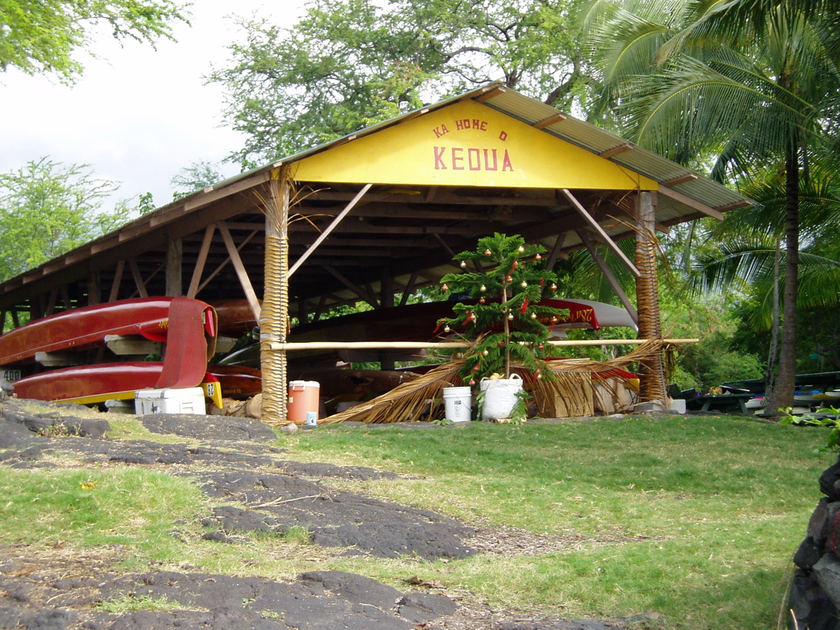
 Boat House at Honaunau Bay
As of the census[3] of 2000, there were 2,414 people, 846 households, and 591 families residing in the CDP. The population density was 63.5 people per square mile (24.5/km²). There were 944 housing units at an average density of 24.8 per square mile (9.6/km²). The racial makeup of the CDP was 35.29% White, 0.29% African American, 0.87% Native American, 17.48% Asian, 14.21% Pacific Islander, 2.07% from other races, and 29.78% from two or more races. Hispanic or Latino of any race were 6.13% of the population. There were 846 households out of which 30.1% had children under the age of 18 living with them, 50.4% were married couples living together, 11.9% had a female householder with no husband present, and 30.1% were non-families. 20.3% of all households were made up of individuals and 5.2% had someone living alone who was 65 years of age or older. The average household size was 2.85 and the average family size was 3.35.
In the CDP the population was spread out with 25.1% under the age of 18, 8.2% from 18 to 24, 23.7% from 25 to 44, 31.0% from 45 to 64, and 11.9% who were 65 years of age or older. The median age was 40 years. For every 100 females there were 104.6 males. For every 100 females age 18 and over, there were 104.5 males. The median income for a household in the CDP was $41,912, and the median income for a family was $47,679. Males had a median income of $31,201 versus $24,453 for females. The per capita income for the CDP was $20,025. About 11.6% of families and 13.5% of the population were below the poverty line, including 12.8% of those under age 18 and 5.8% of those age 65 or over.
Education
Hawaii Department of Education operates public schools. Honaunau Elementary School is in the CDP.[4]
References
- ^ "US Gazetteer files: 2010, 2000, and 1990". United States Census Bureau. 2011-02-12. http://www.census.gov/geo/www/gazetteer/gazette.html. Retrieved 2011-04-23.
- ^ cf. U.S. Geological Survey Geographic Names Information System: Hōnaunau; U.S. Geological Survey Geographic Names Information System: Napoʻopoʻo
- ^ "American FactFinder". United States Census Bureau. http://factfinder.census.gov. Retrieved 2008-01-31.
- ^ "Honaunau-Napoopoo CDP, Hawaii." U.S. Census Bureau. Retrieved on May 21, 2009.
Municipalities and communities of Hawaii County, Hawaii CDPs Ainaloa | Captain Cook | Eden Roc | Fern Acres | Fern Forest | Halaula | Hawaiian Acres | Hawaiian Beaches | Hawaiian Ocean View | Hawaiian Paradise Park | Hawi | Hilo | Holualoa | Honalo | Honaunau-Napoopoo | Honokaa | Honomu | Kahaluu-Keauhou | Kailua | Kalaoa | Kapaau | Keaau | Kealakekua | Kukuihaele | Kurtistown | Laupāhoehoe | Leilani Estates | Mountain View | Naalehu | Nanawale Estates | Orchidlands Estates | Paauilo | Pahala | Pahoa | Papaikou | Pepeekeo | Paukaa | Puako | Volcano | Waikoloa Village | Waimea | Wainaku

Unincorporated
communitiesDistricts Categories:- Census-designated places in Hawaii County, Hawaii
- Populated places on Hawaii (island)


Wikimedia Foundation. 2010.