- Ronald Reagan Washington National Airport (WMATA station)
-
Ronald Reagan Washington National Airport 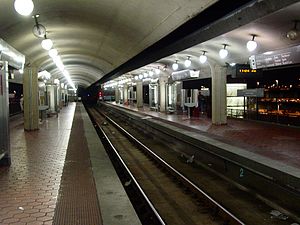
Station statistics Address 2400 South Smith Boulevard
Arlington, VA 22202Lines Connections WMATA Metrobus Structure Elevated Platforms 2 island platforms Tracks 3 Bicycle facilities 8 racks Other information Opened July 1, 1977[1] Accessible 
Code C10 Owned by Washington Metropolitan Area Transit Authority Formerly National Airport (1977-2001) Traffic Passengers (2007) 3.796 million[2]  2%
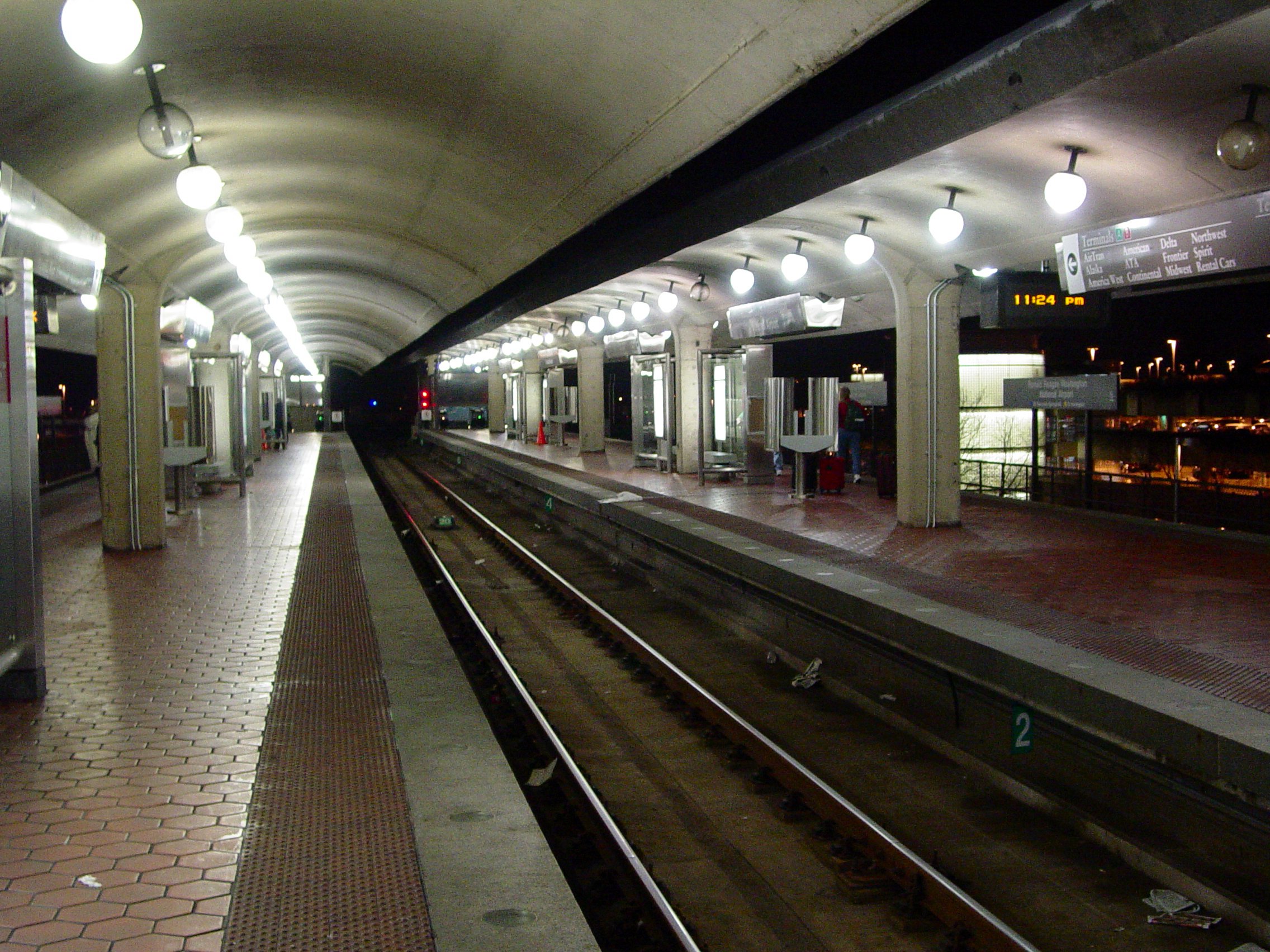
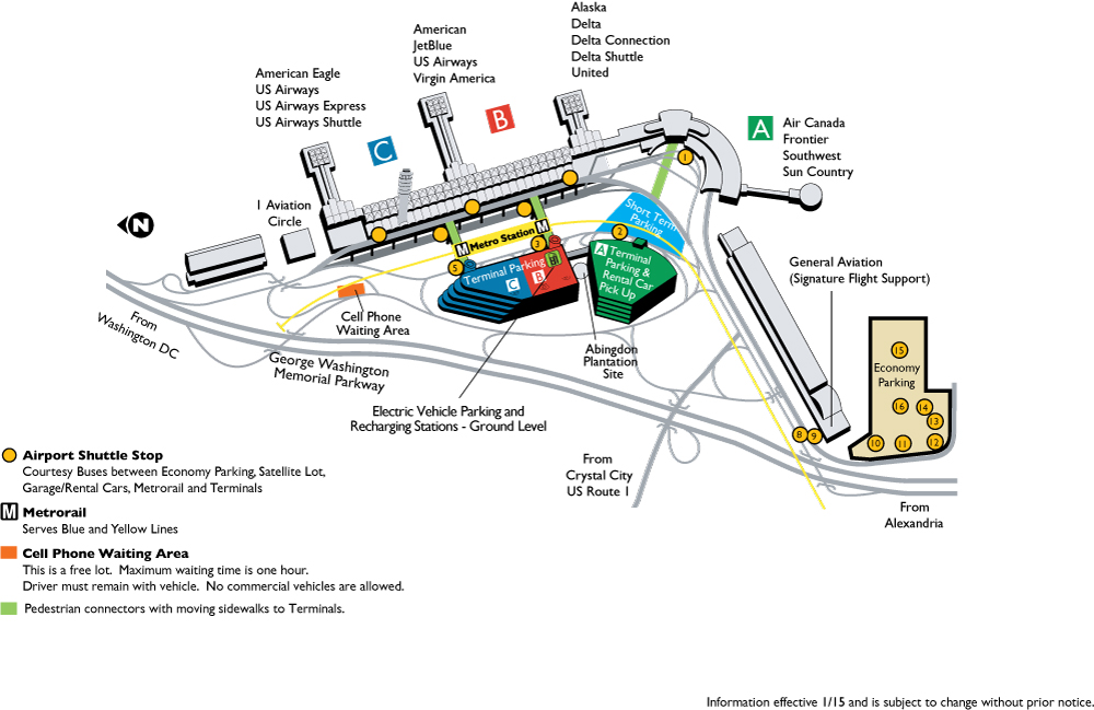
2%Services Preceding station Washington Metro Following station Braddock Roadtoward Franconia–SpringfieldBlue Line toward Largo Town CenterBraddock Roadtoward HuntingtonYellow Line toward Fort TottenRonald Reagan Washington National Airport (formerly National Airport) is a Washington Metro station in Arlington, Virginia on the Blue and Yellow Lines. The station platform is elevated and covered and is the last above ground station on the Yellow Line in Virginia, heading into Washington, D.C. It is one of only two stations in the system to have three tracks (the other being West Falls Church). The station is located across Smith Boulevard from the B and C terminals from Ronald Reagan Washington National Airport (DCA); the airport shuttle bus carries people to and from Terminal A. The mezzanines are directly connected to the B and C terminals by pedestrian walkways to Level 2 (gate level). The airport's Abingdon Plantation historical site is near the station.
The station opened on July 1, 1977.[1] Its opening coincided with the completion of 11.8 miles (19.0 km)[3] of rail between National Airport and RFK Stadium and the opening of the Arlington Cemetery, Capitol South, Crystal City, Eastern Market, Farragut West, Federal Center SW, Federal Triangle, Foggy Bottom–GWU, L'Enfant Plaza, McPherson Square, Pentagon, Pentagon City, Potomac Avenue, Rosslyn, Smithsonian and Stadium–Armory stations.[4] When service began on July 1, 1977, it was the southern terminus of the Blue Line, and remained so until the extension to Huntington opened on December 17, 1983.[5]
During construction of a second canopy at the station, Metro began running trains through the center track even though it had not been constructed for standard operations, and on January 20, 2003, a Blue Line train derailed at the switch. No injuries resulted, but the accident delayed construction by a number of weeks.[6] The center track was originally intended for relaying trains.[1]
Renaming controversy
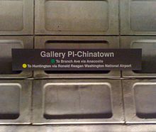 Reworded sign after Congress required renaming the station.
The station retained its original name after the airport was renamed in 1998 from "Washington National Airport" to "Ronald Reagan Washington National Airport". In early 2001, a letter signed by 24 members of Congress requested WMATA rename the station to conform. However, according to a Metro policy adopted in 1987, groups seeking to rename a station were required to pay the cost of replacing signs and maps. The Arlington County government, which could have made the change, demurred—the price was estimated at $400,000—and WMATA subsequently declined to rename the station on April 19, 2001.[7] In response, Republican Congressman Bob Barr of Georgia threatened to withhold federal funding from the agency unless the station was renamed.[7] Congress ultimately voted to require the renaming on November 30.[8] According to then-General Manager Richard A. White, Metro paid to complete the renaming.[9]
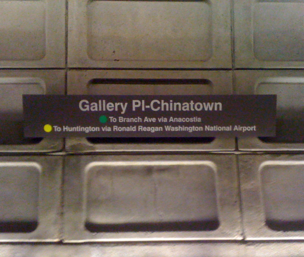
During the 2003-2004 renovation of the station, new signage was installed. Similar signage can be found at the Gallery Place, NoMa – Gallaudet University, Morgan Boulevard, and Largo Town Center stations.
References
- ^ a b c Feaver, Douglas B. (July 1, 1977). "Today, Metro could be U.S. model". The Washington Post: p. A1.
- ^ FY2006-07 Metrorail ridership summary by station Think Outside the Car Retrieved 2009-11-28
- ^ Washington Metropolitan Area Transit Authority (July 2009). "Sequence of Metrorail openings". http://www.wmata.com/about_metro/docs/metrofacts.pdf. Retrieved July 25, 2010.
- ^ Staff Reporters (June 24, 1977), "Metro's newest stations: Where they are, what's nearby", The Washington Post
- ^ Staff Reporters (December 17, 1983). "Gala opening set for Yellow Line extension". The Washington Post: p. C1.
- ^ Layton, Lyndsey (February 27, 2003). "Metro track blamed in derailment - Section not made for regular use". The Washington Post: p. A1.
- ^ a b Layton, Lyndsey (April 21, 2001). "Riders rail at cost of 'Reagan' Metro stop". The Washington Post: p. B2.
- ^ Schrag, Zachary (2006). The Great Society Subway: A History of the Washington Metro. Baltimore, MD: Johns Hopkins University Press. p. 258. ISBN 080188246X.
- ^ LunchTalk Online transcript, June 17, 2005
External links
 Media related to Ronald Reagan Washington National Airport (Washington Metro) at Wikimedia Commons
- WMATA: Ronald Reagan Washington National Airport Station
- StationMasters Online: Ronald Reagan Washington National Airport Station
- The Schumin Web Transit Center: National Airport Station
- Station from Google Maps Street View
- "Map of Ronald Reagan Washington National Airport showing location of Metro station". Metropolitan Washington Airports Authority. June 2011. http://www.metwashairports.com/image/dca_parking_map.jpg. Retrieved 2011-06-16.
Coordinates: 38°51′11″N 77°02′38″W / 38.852985°N 77.0439°W
Categories:- Blue Line (Washington Metro)
- Airport railway stations in the United States
- Transportation in Arlington County, Virginia
- Washington Metro stations in Virginia
- Yellow Line (Washington Metro)
- Railway stations opened in 1977
- Buildings and monuments honoring American Presidents
Wikimedia Foundation. 2010.