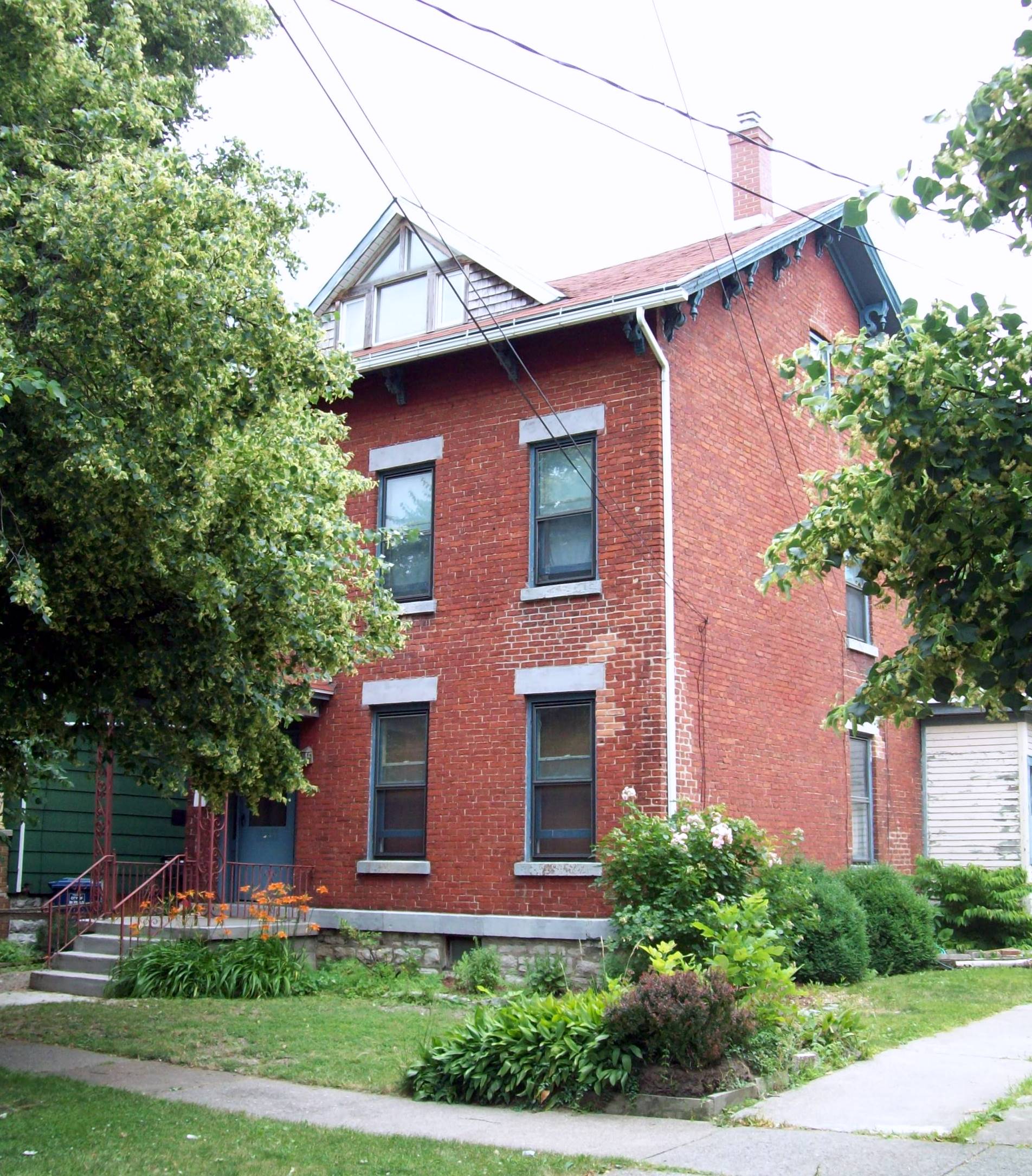
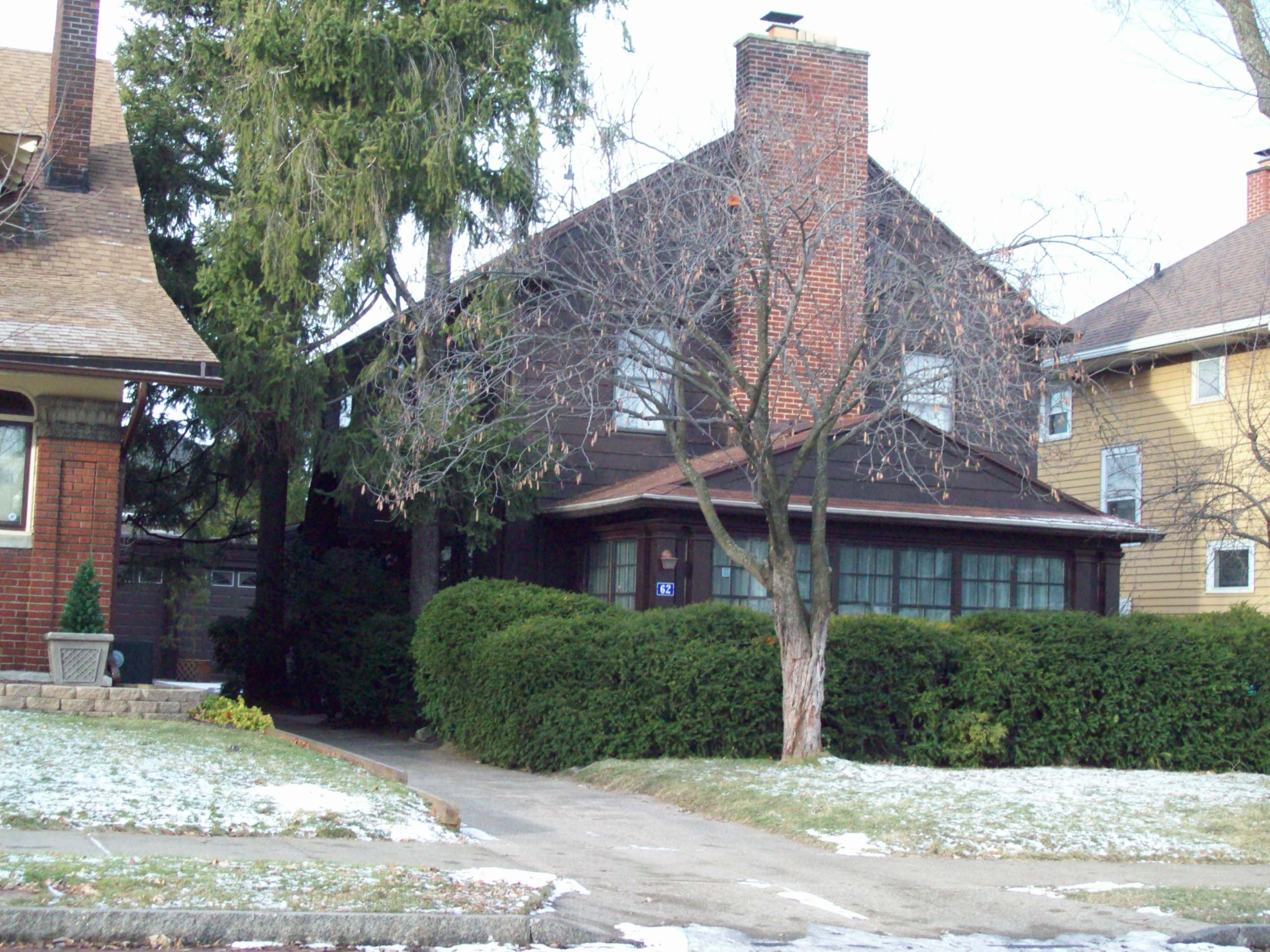
- National Register of Historic Places listings in Buffalo, New York
-
List of the National Register of Historic Places listings in Buffalo, New York
 Location of Buffalo in New York
This is intended to be a complete list of properties and districts listed on the National Register of Historic Places in Buffalo, New York. The locations of National Register properties and districts with known coordinates can be viewed in map form.[1]
There are 93 NRHP-listed properties and districts in the city of Buffalo, including at least two overlapping sites.[2]
The 58 properties and districts in Erie County outside of Buffalo are listed in National Register of Historic Places listings in Erie County, New York.
-
- This National Park Service list is complete through NPS recent listings posted November 18, 2011.[3]
Contents: Counties in New York Albany (Albany) – Allegany – Bronx – Broome – Cattaraugus – Cayuga – Chautauqua – Chemung – Chenango – Clinton – Columbia – Cortland – Delaware – Dutchess – Erie (Buffalo) – Essex – Franklin – Fulton – Genesee – Greene – Hamilton – Herkimer – Jefferson – Kings (Brooklyn) – Lewis – Livingston – Madison – Monroe (Rochester) – Montgomery – Nassau – New York (Manhattan – Below 14th Street, 14th to 59th Streets, 59th to 110th Streets, Above 110th Street, Islands) – Niagara – Oneida – Onondaga (Syracuse) – Ontario – Orange – Orleans – Oswego – Otsego – Putnam – Queens – Rensselaer – Richmond (Staten Island) – Rockland – Saratoga – Schenectady – Schoharie – Schuyler – Seneca – St. Lawrence – Steuben – Suffolk – Sullivan – Tioga – Tompkins – Ulster – Warren – Washington – Wayne – Westchester (New Rochelle, Peekskill, Yonkers) – Wyoming – Yates Current listings in Buffalo
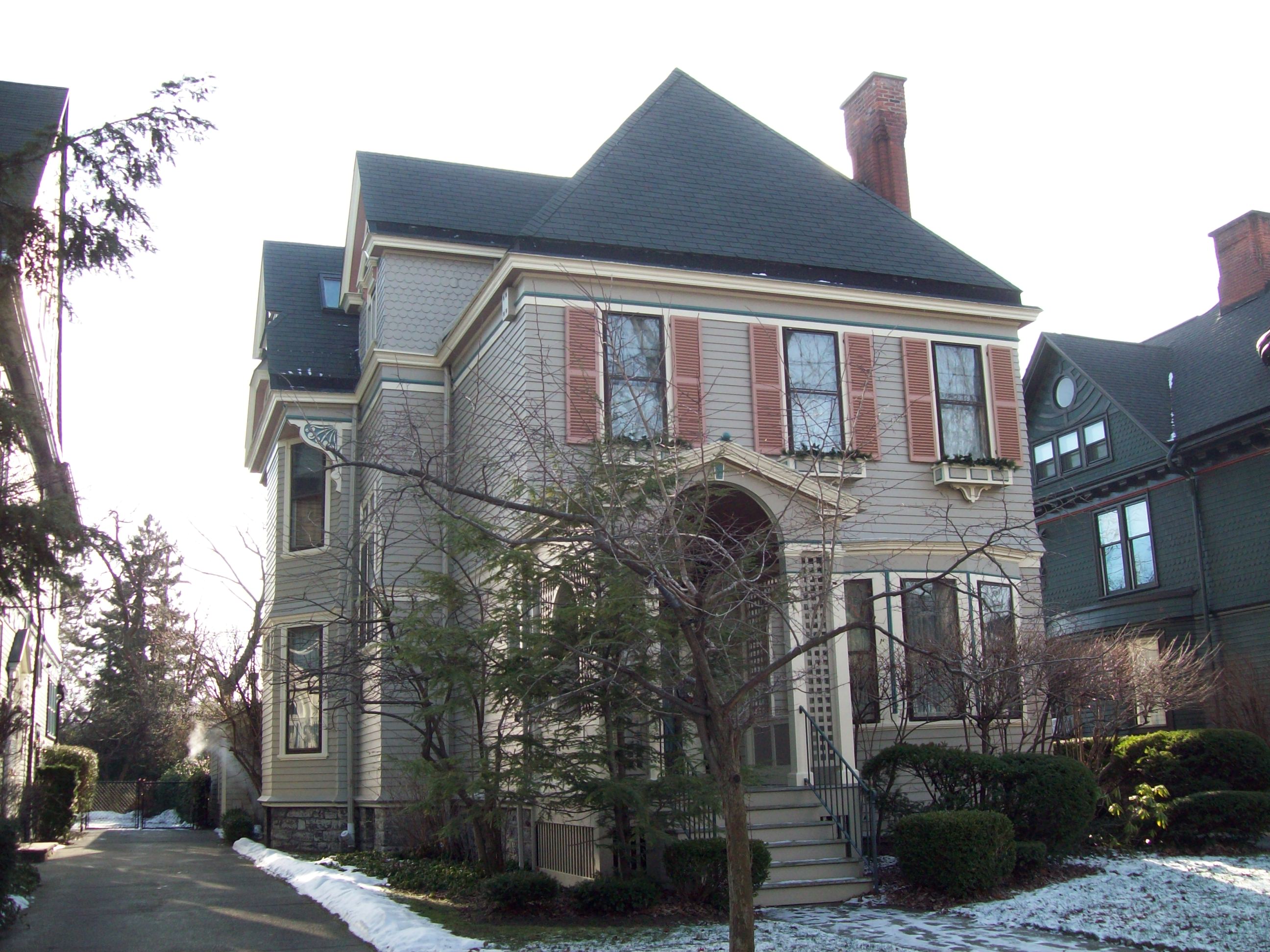
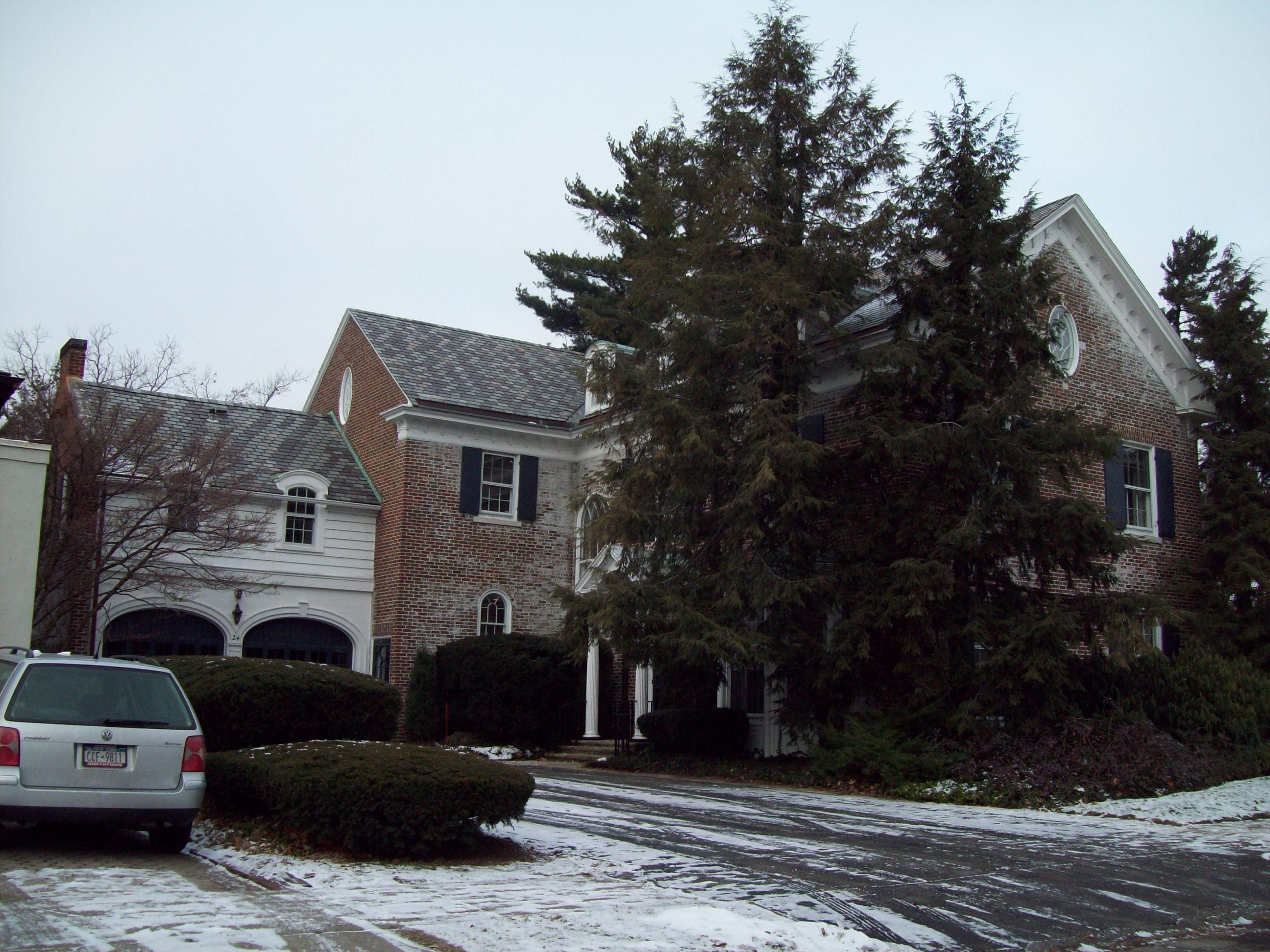
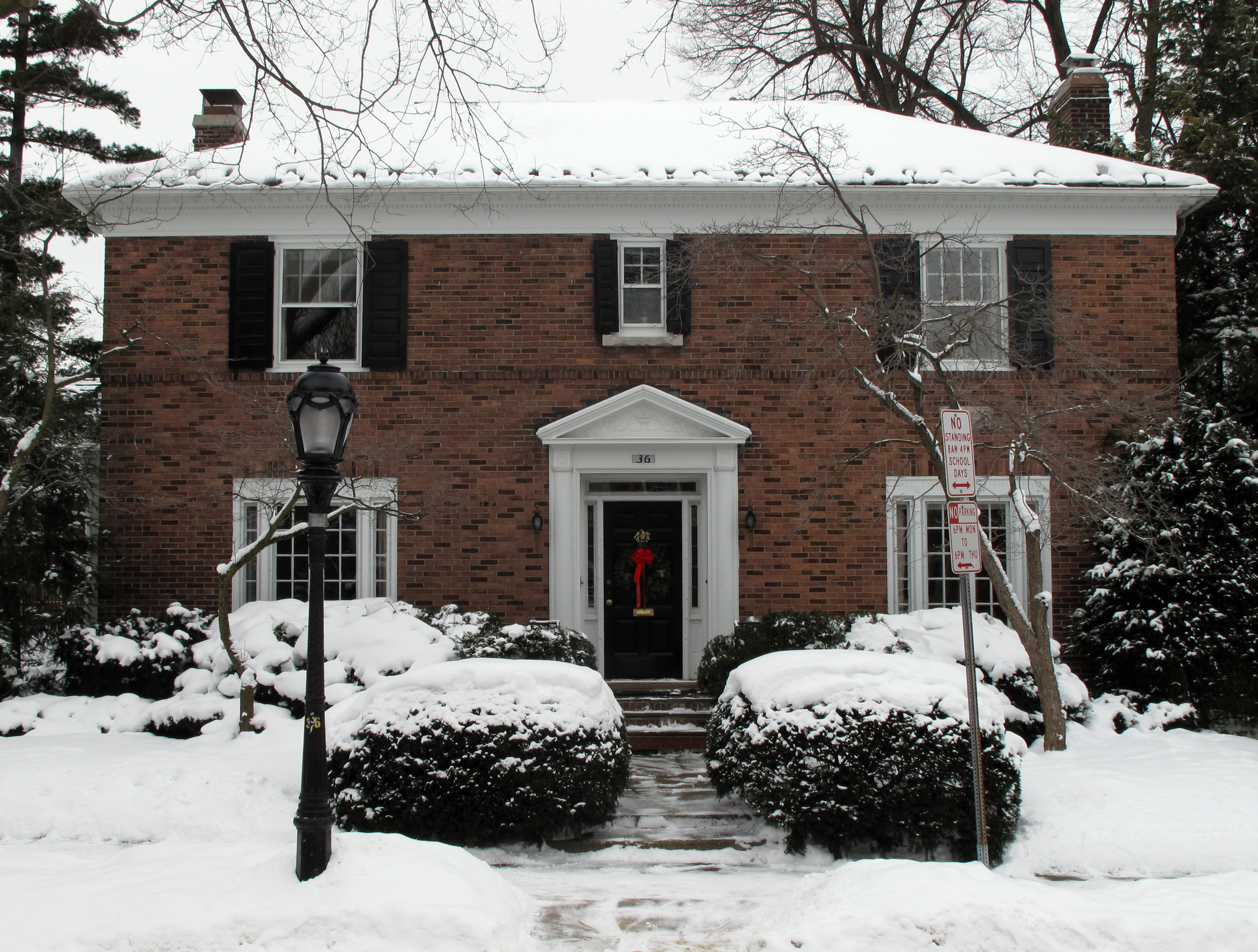
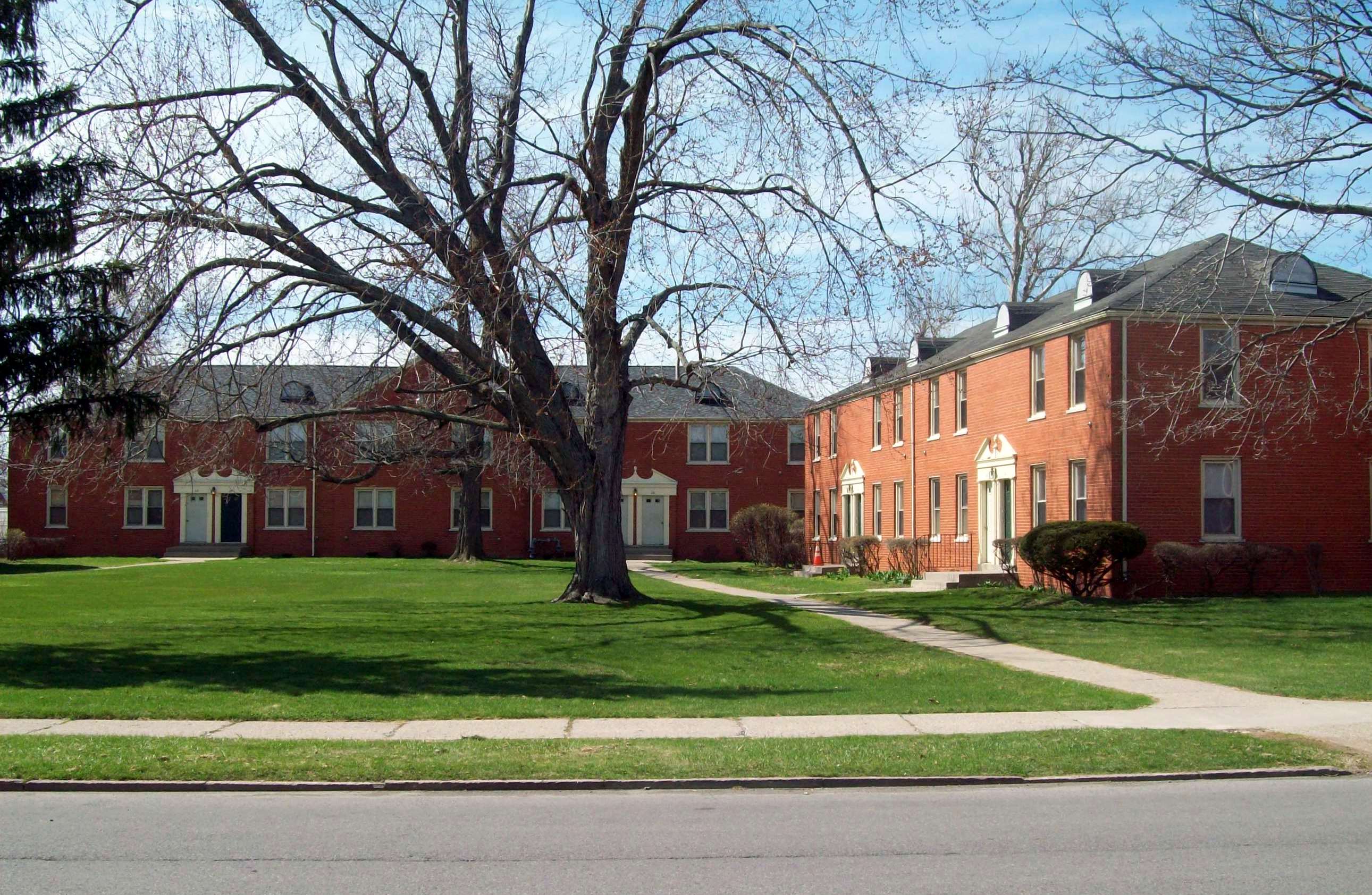
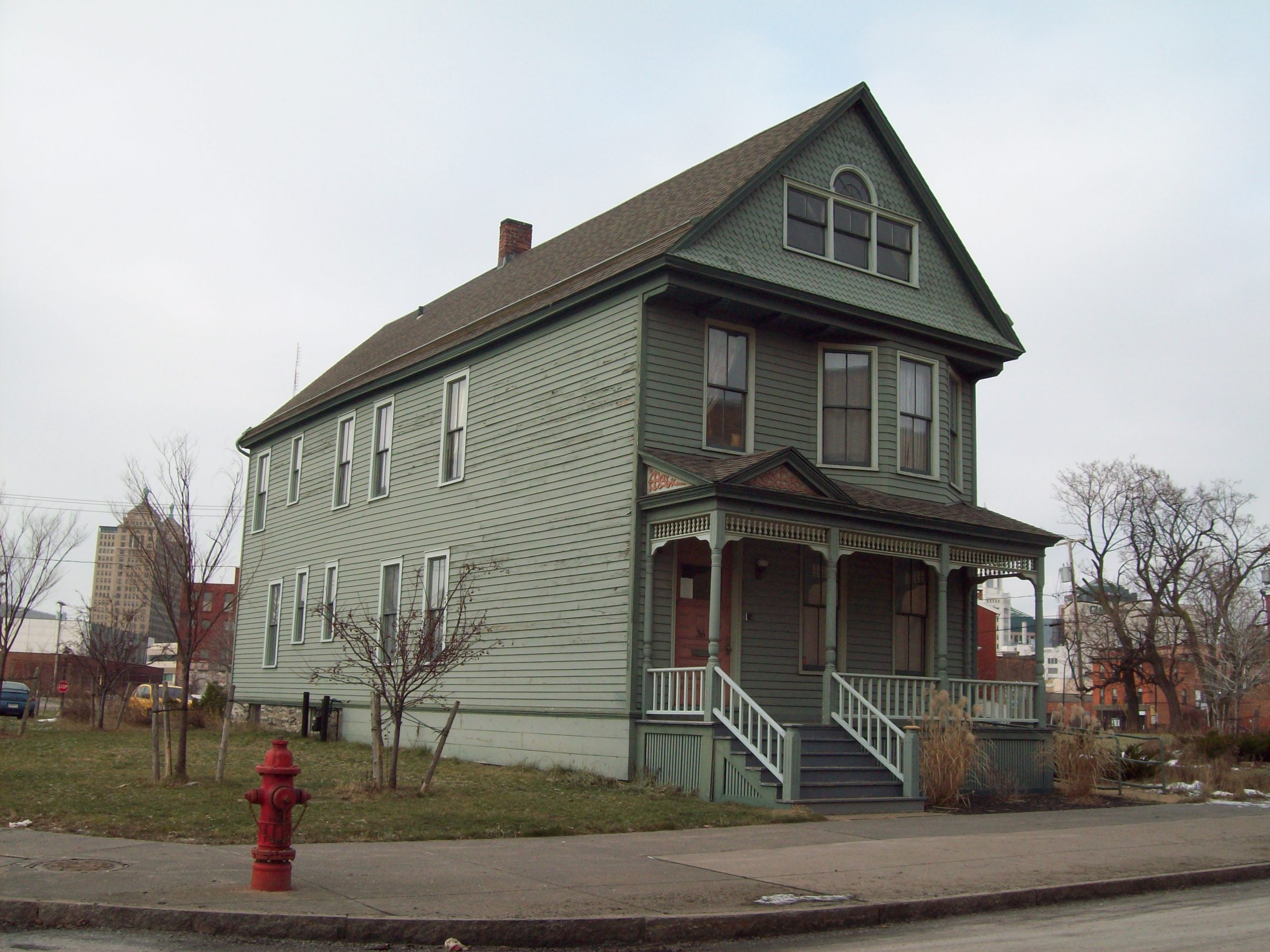
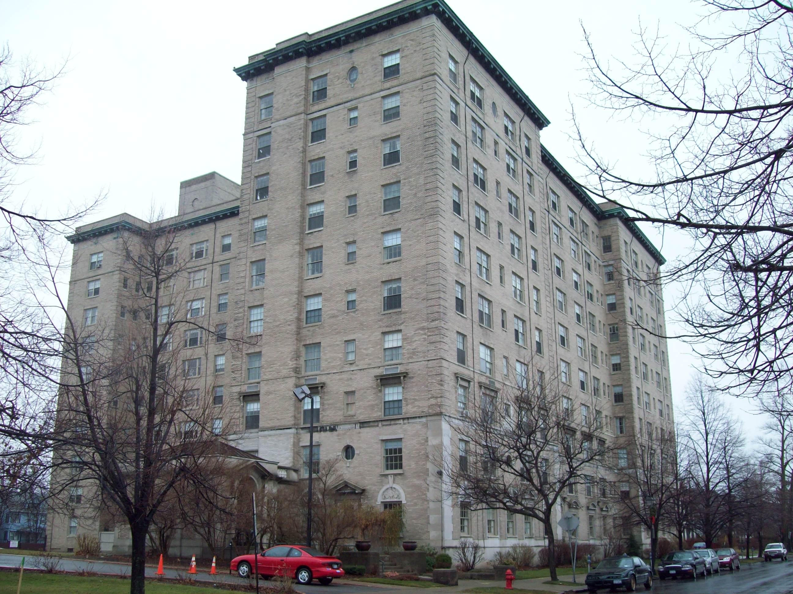
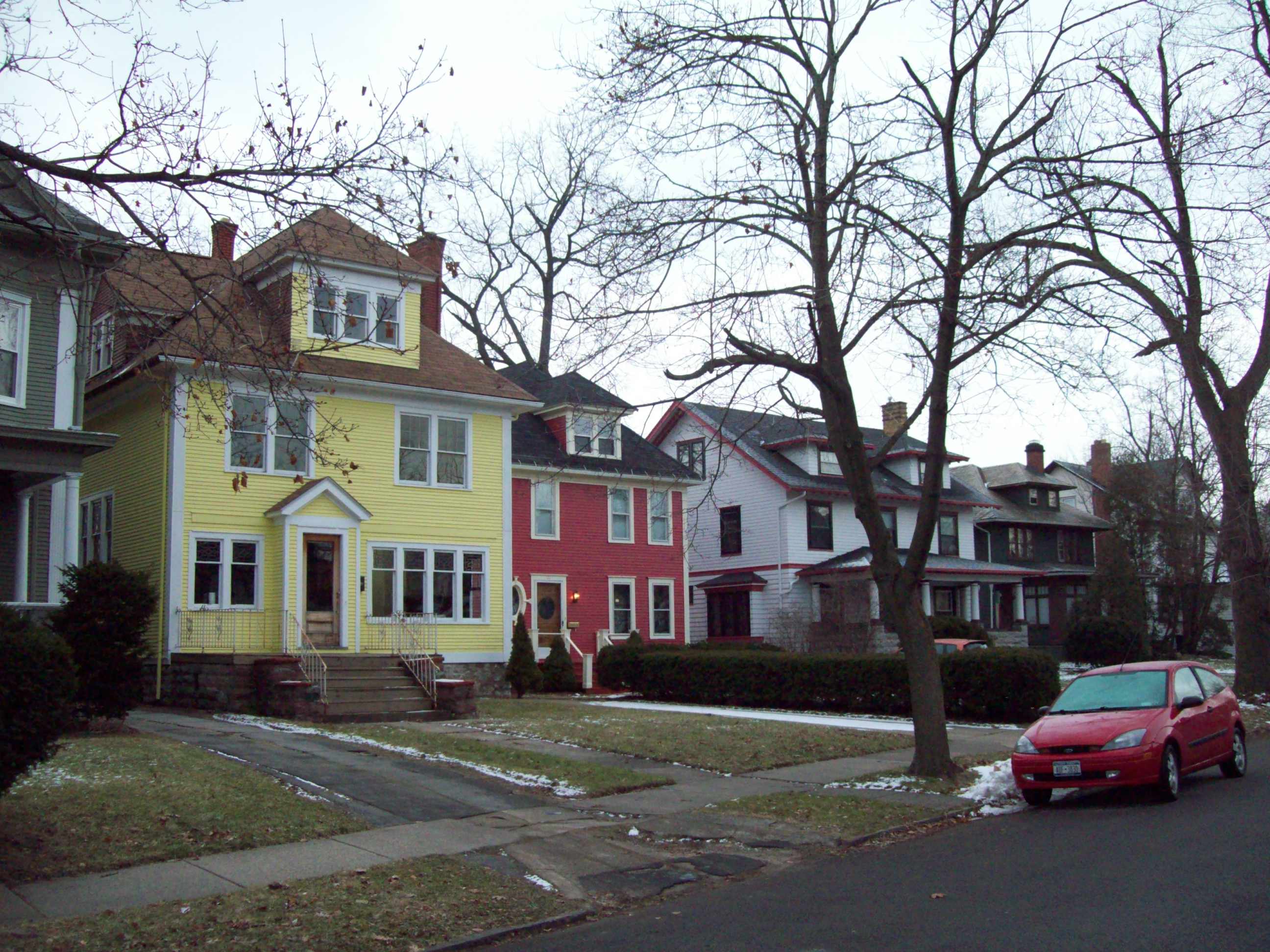
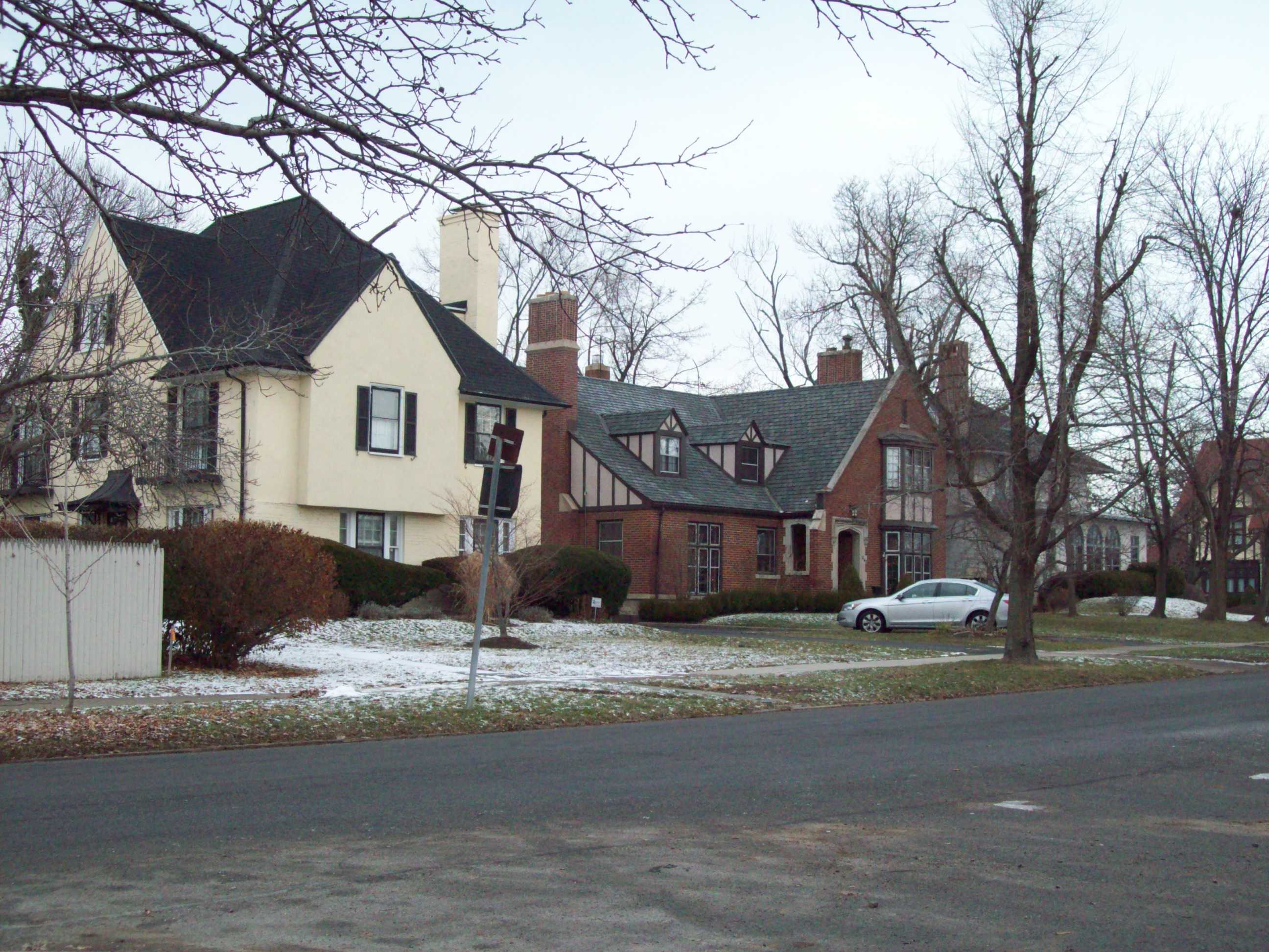
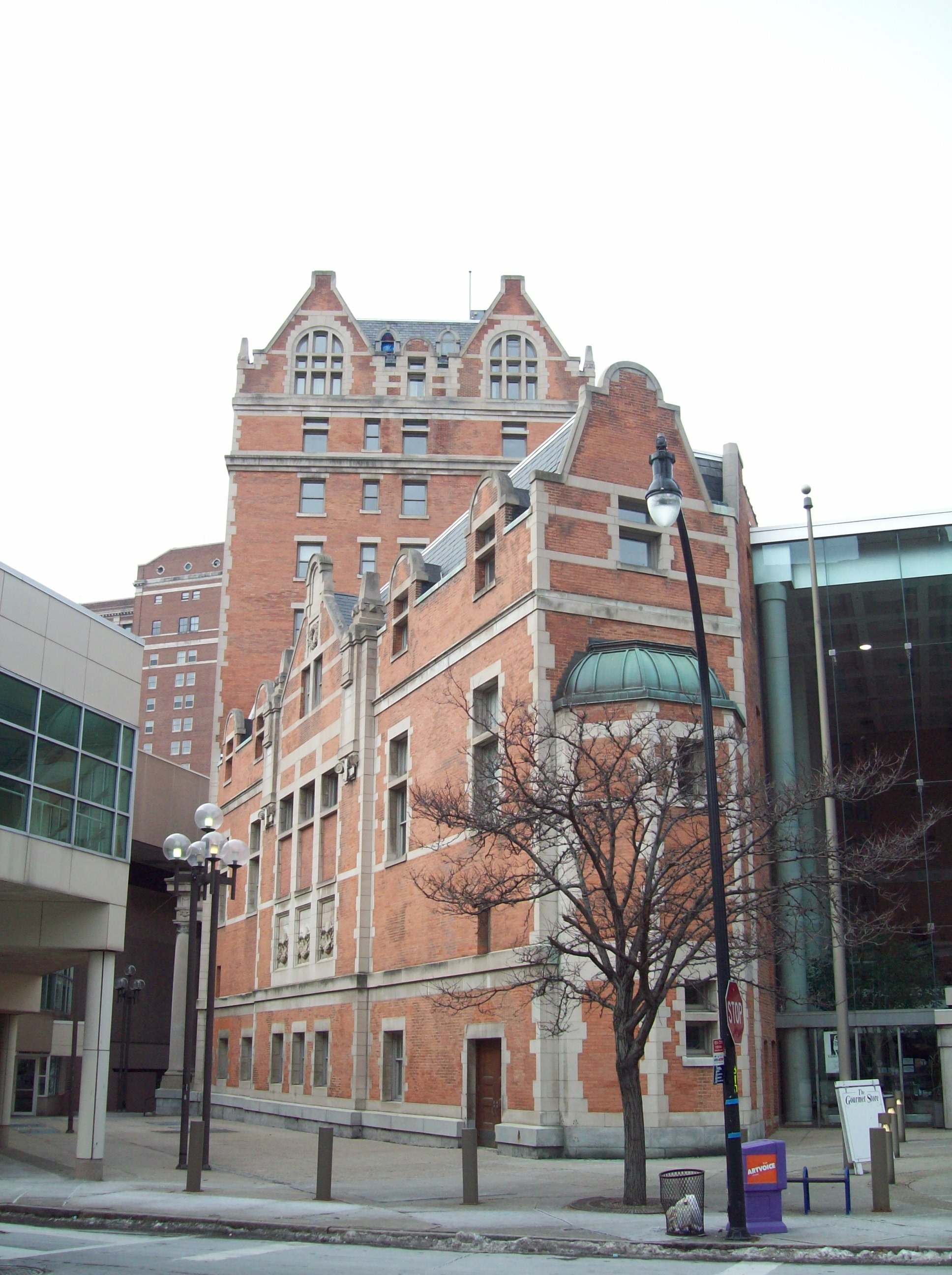
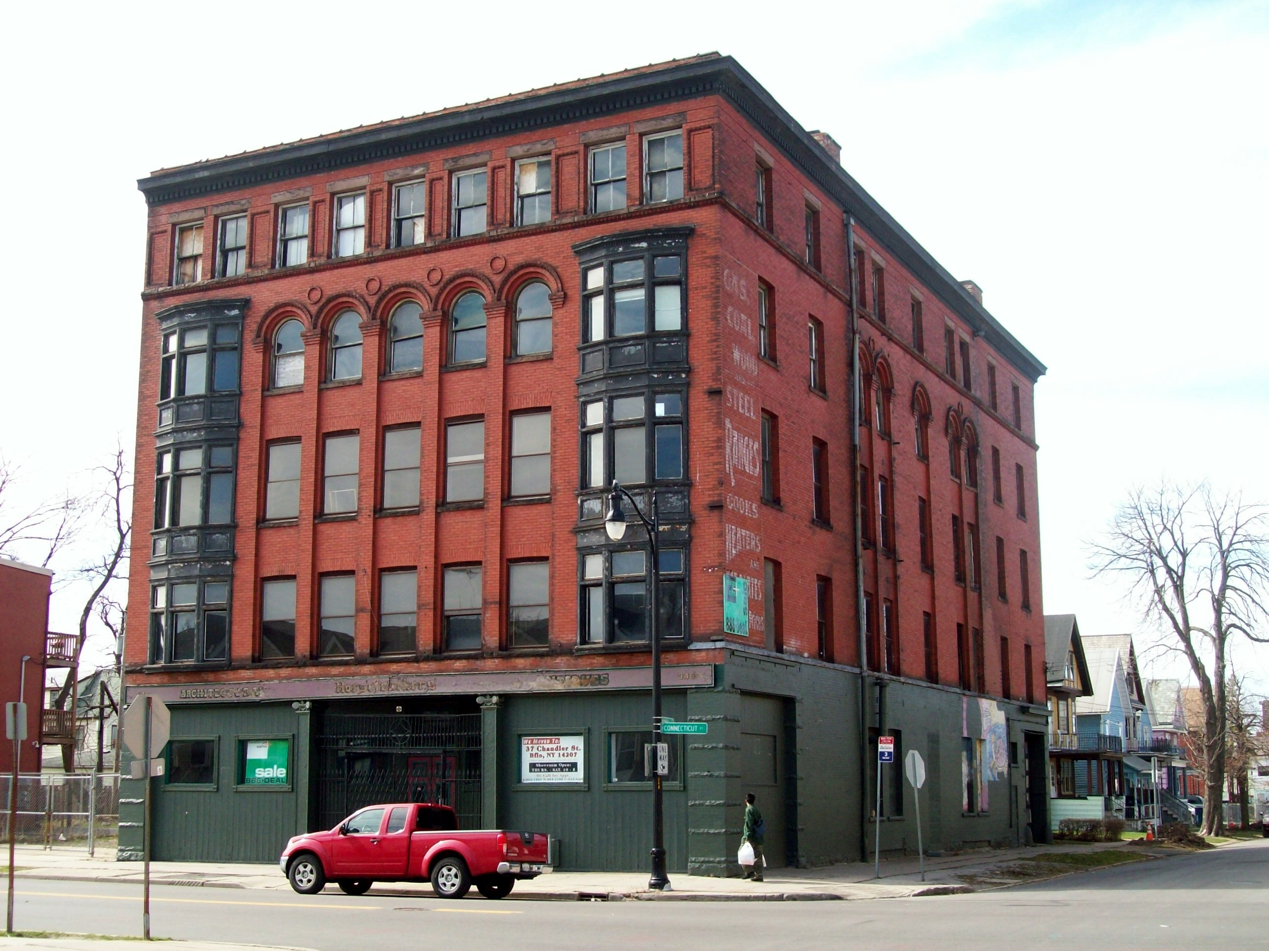
The table below lists all of the NRHP-listed sites in Buffalo, New York proper, along with added detail and description:
[4] Landmark name Image Date listed Location City or town Summary 1 33-61 Emerson Place Row 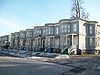
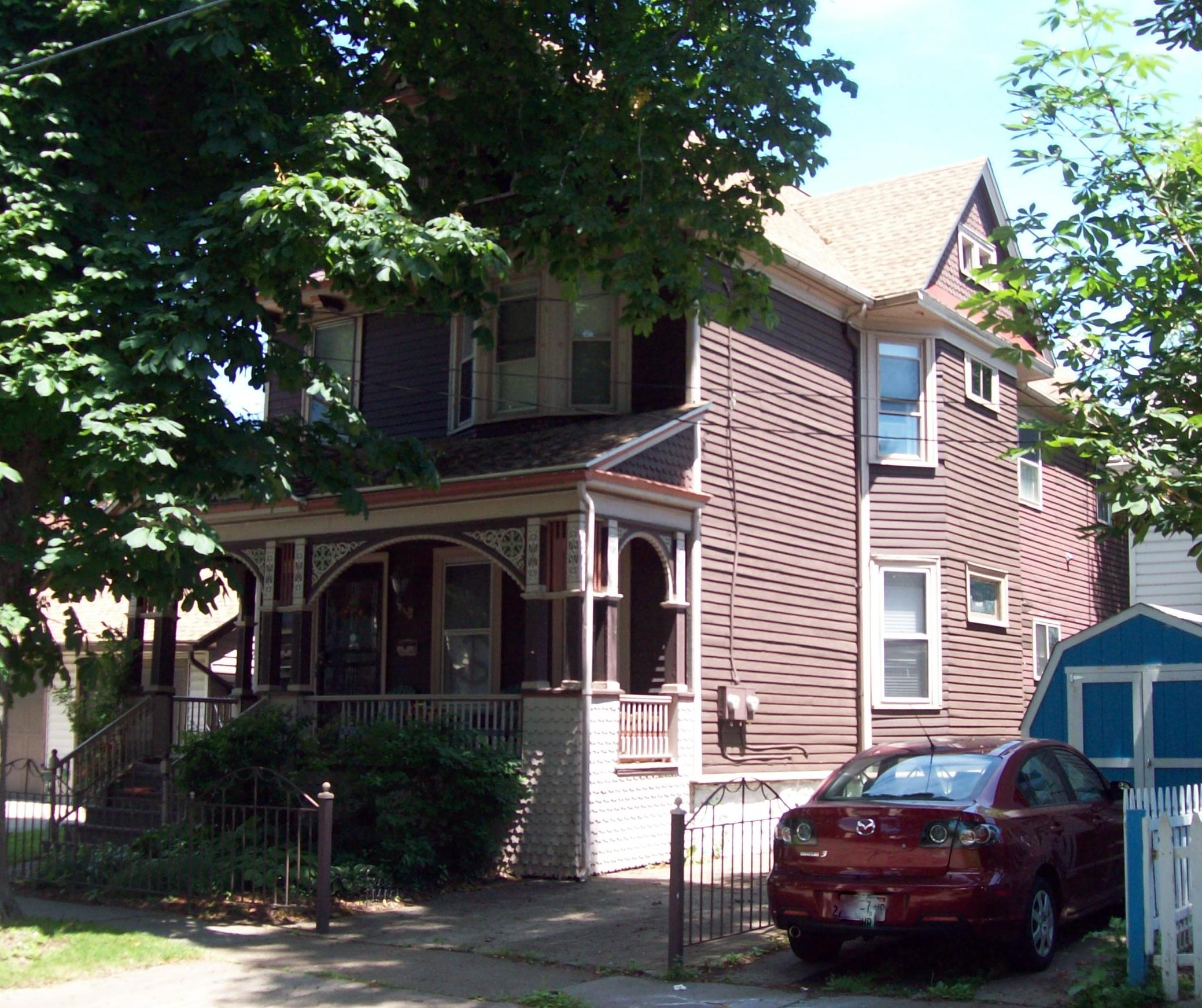
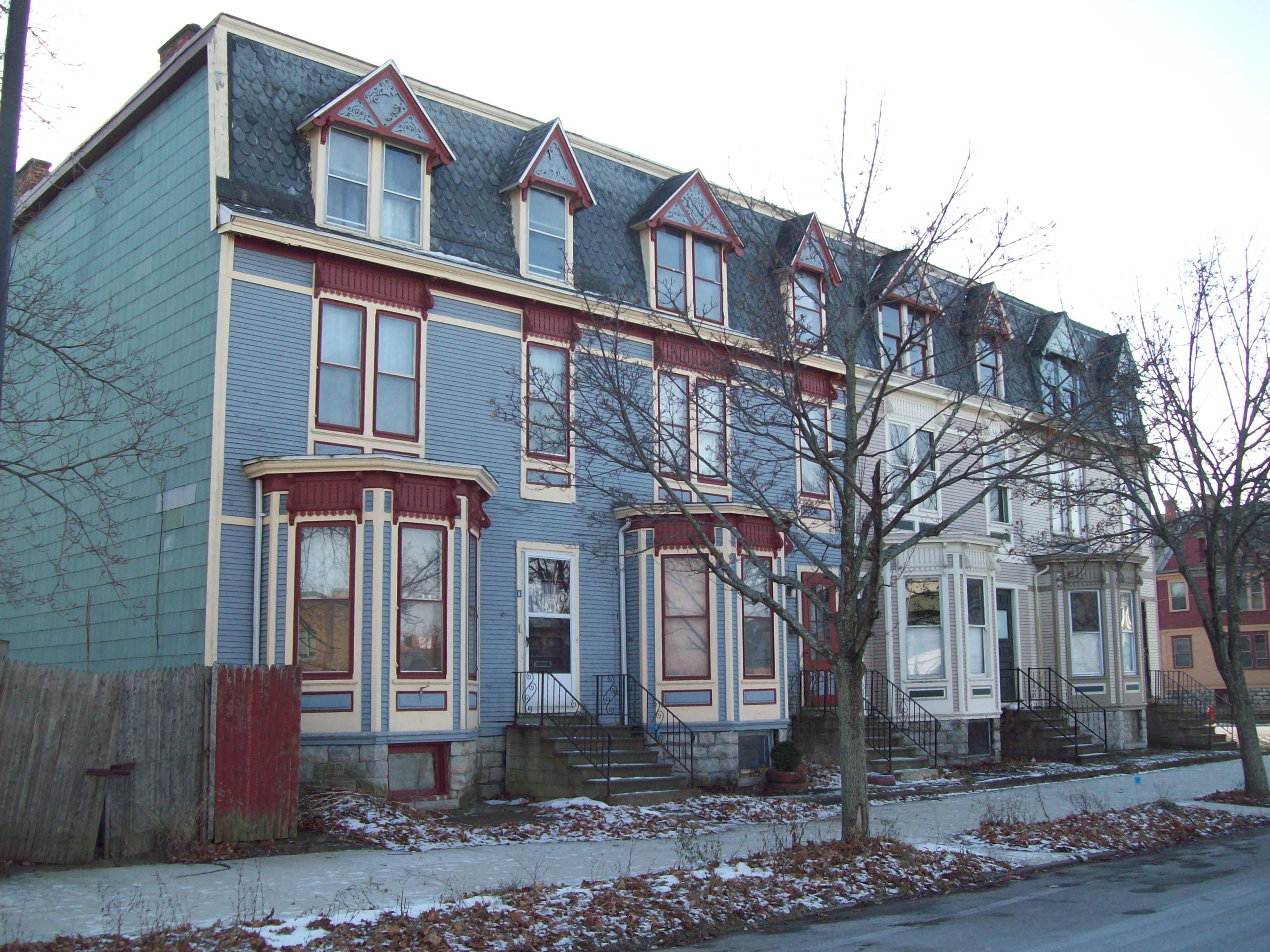
March 19, 1986 33-61 Emerson Pl.
42°54′47″N 78°51′38″W / 42.913056°N 78.860556°WEast Side Frame rowhouses built in 1893. 2 J.N. Adam-AM&A Historic District 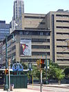
February 20, 2009 Main St., E. Eagle St., Washington St., Ellicott St.
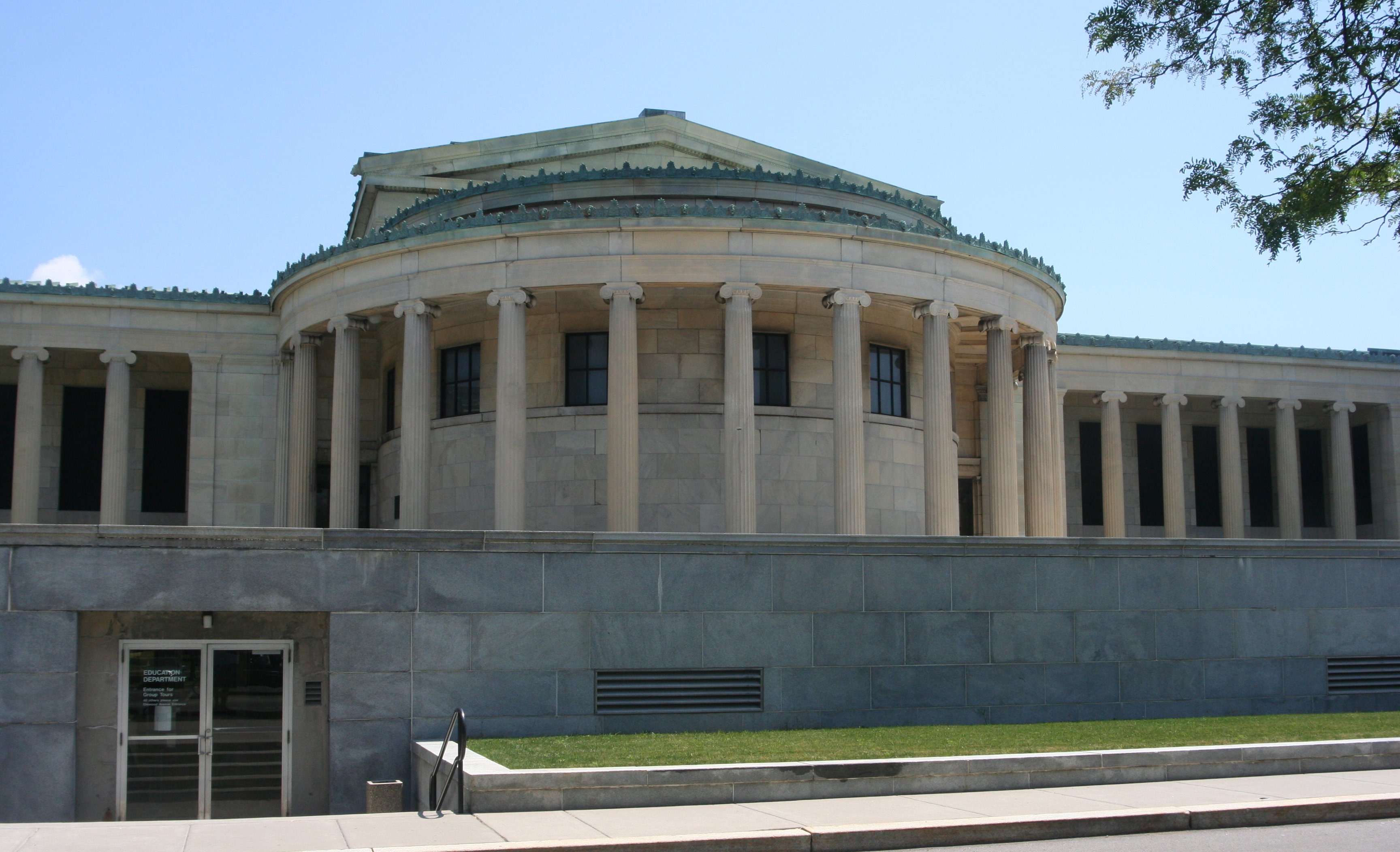
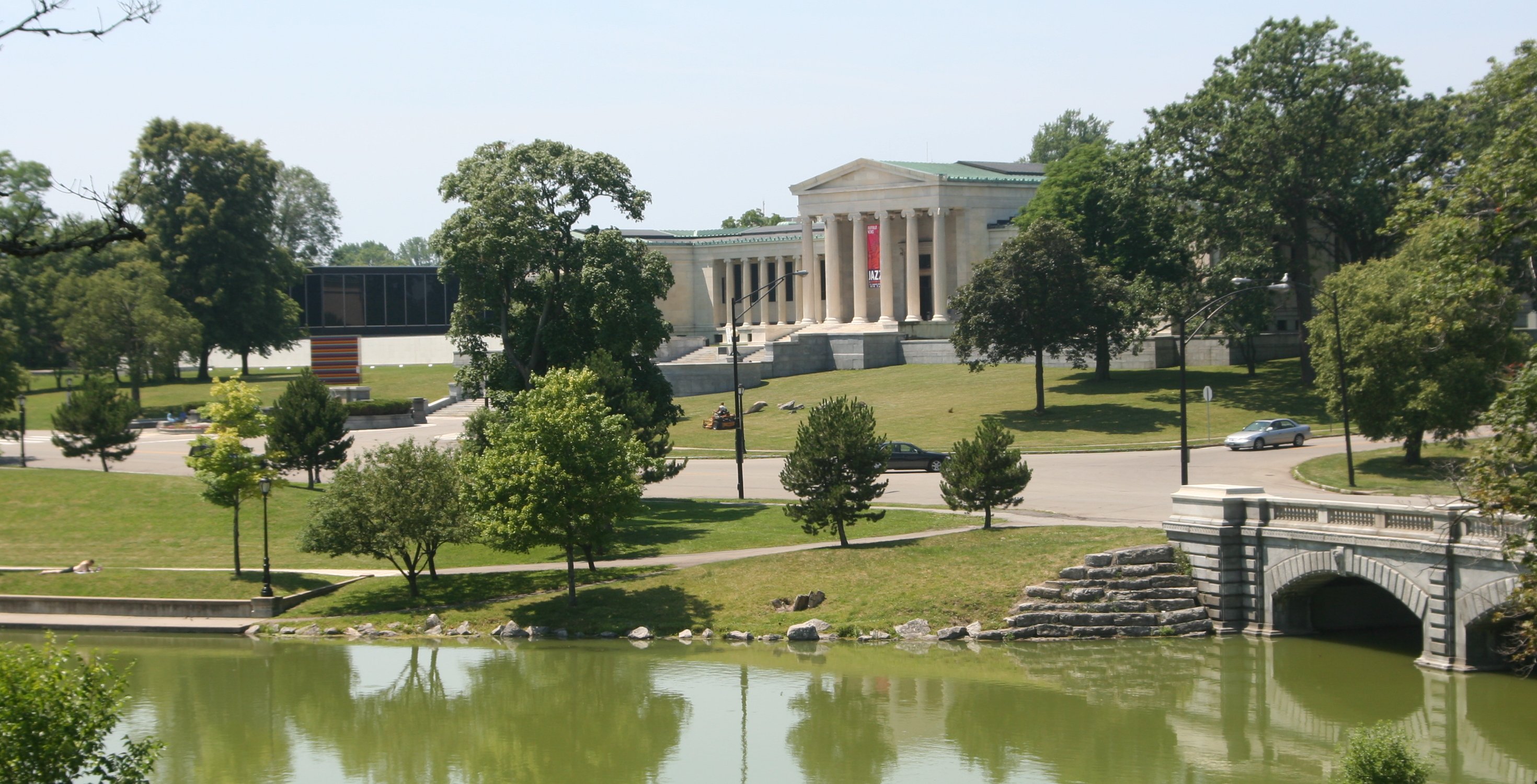
42°53′03″N 78°52′26″W / 42.884167°N 78.873889°WDowntown Former J. N. Adam & Co. and AM&A's department store and warehouse complex 3 Albright-Knox Art Gallery 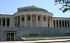
May 27, 1971 1285 Elmwood Ave., in Delaware Park
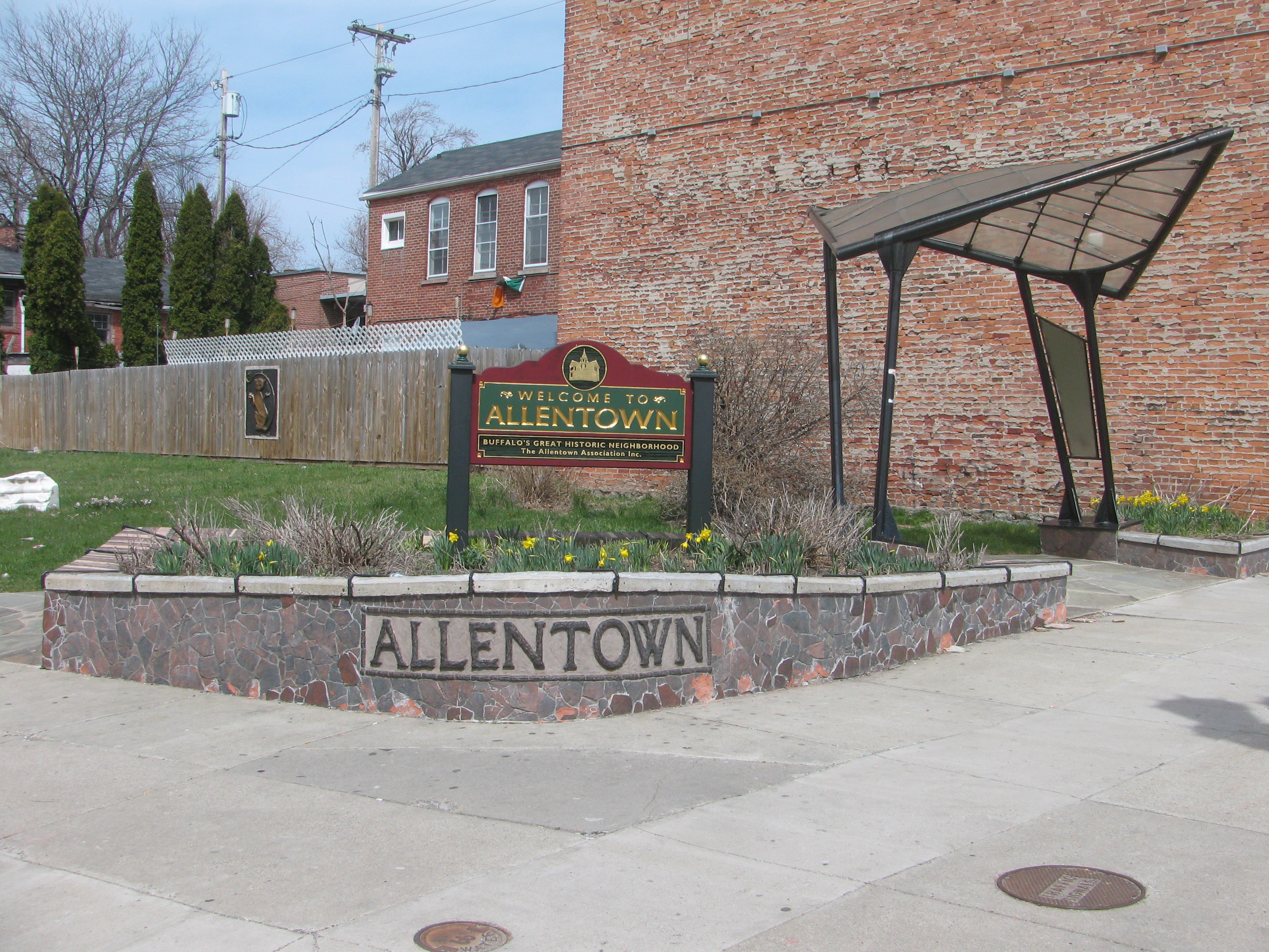
42°55′56″N 78°52′33″W / 42.932222°N 78.875833°WBuffalo Contemporary and modern art gallery opened in 1905. 4 Allentown Historic District 
April 21, 1980 Off NY 384
42°53′58″N 78°52′47″W / 42.899444°N 78.879722°WAllentown A historic district including parks designed by Frederick Law Olmsted, and 733 buildings 5 Alling & Cory Buffalo Warehouse 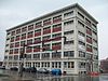
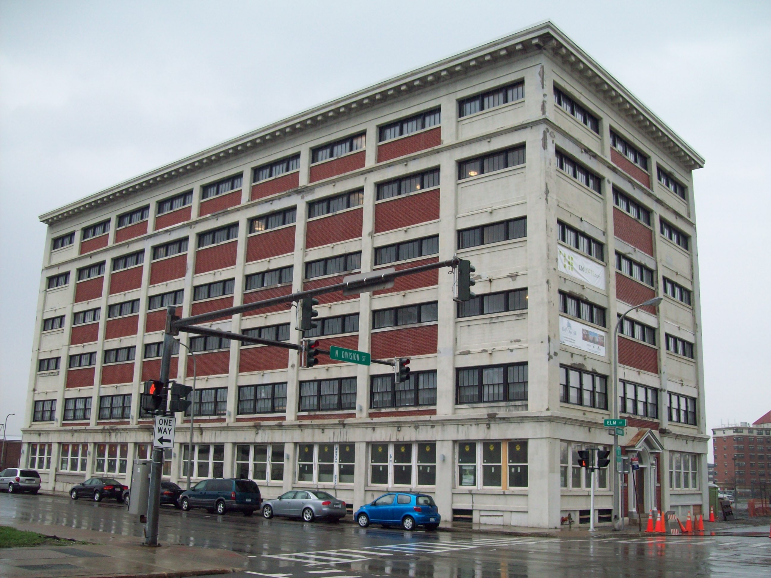
February 17, 2010 136 N. Division St.
42°52′59″N 78°52′11″W / 42.883056°N 78.869722°WEast Side New listing; refnum 10000026 6 Annunciation School 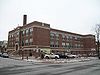
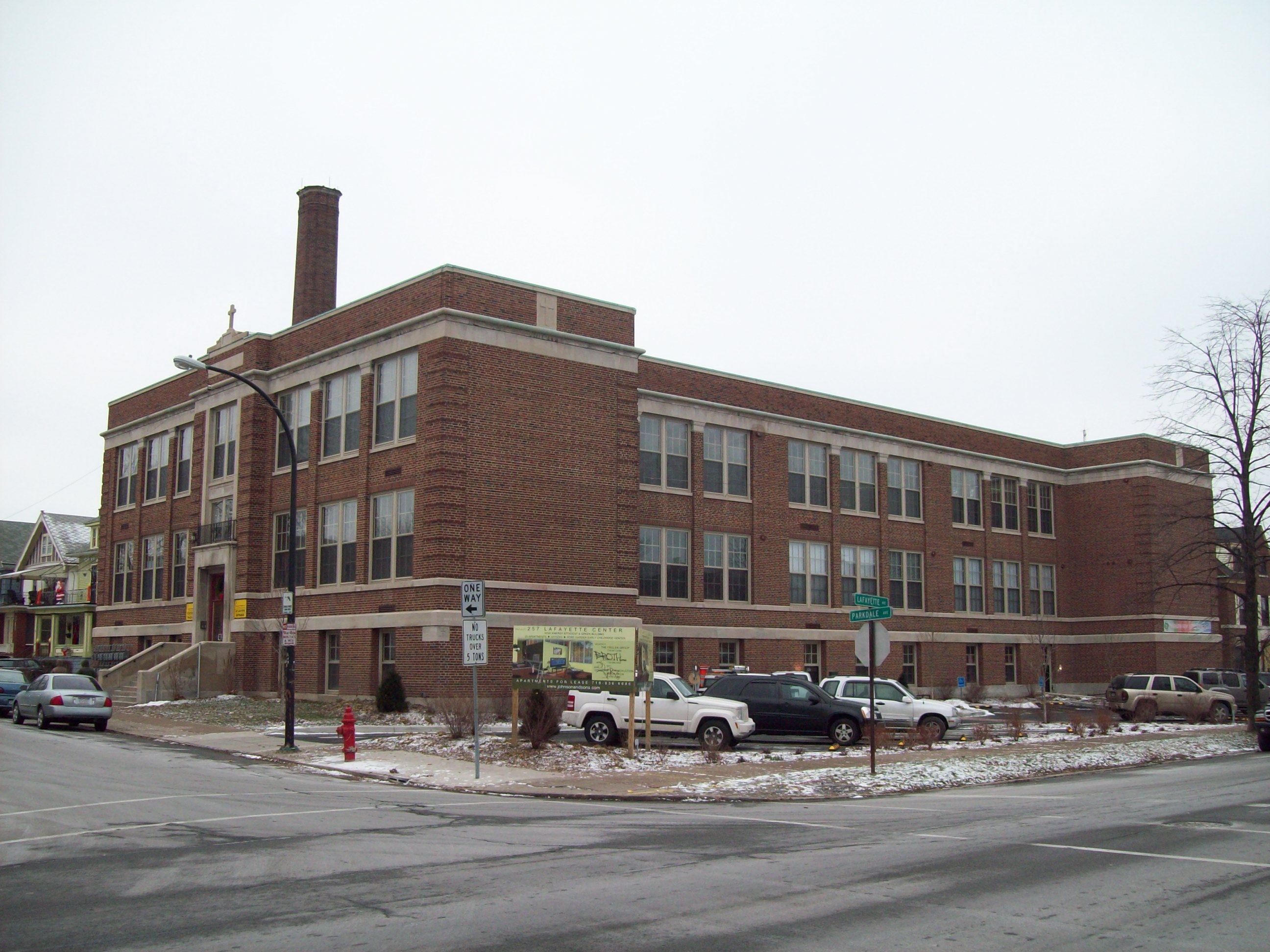
December 5, 2008 257 Lafayette Ave.
42°55′11″N 78°53′18″W / 42.919722°N 78.888333°WBuffalo Former parochial school 7 Berkeley Apartments 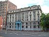
October 15, 1987 24 Johnson Park
42°53′31″N 78°52′35″W / 42.891944°N 78.876389°WDowntown Reinforced concrete building built 1894-1897 8 Birge-Horton House 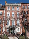
July 16, 2004 477 Delaware Ave.
Allentown and contributing structure to Allentown Historic District Rowhouse designed in 1895 and part of "The Midway" 9 Blessed Trinity Roman Catholic Church Buildings 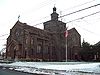
August 3, 1979 317 LeRoy Ave
42°55′57″N 78°50′03″W / 42.9325°N 78.834167°WFillmore-Leroy Church in Lombard-Romanesque style built in 1923-1928 with noted mosaics 10 Buffalo and Erie County Historical Society Building 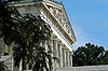
April 23, 1980 25 Nottingham Ct.
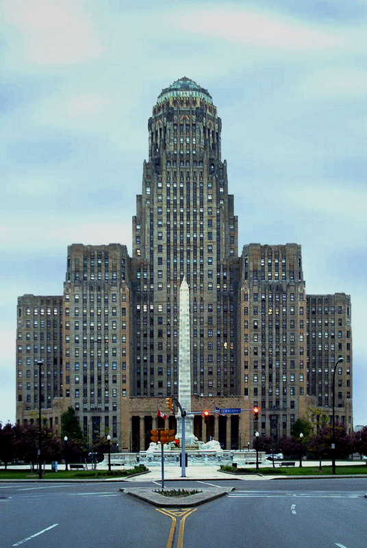
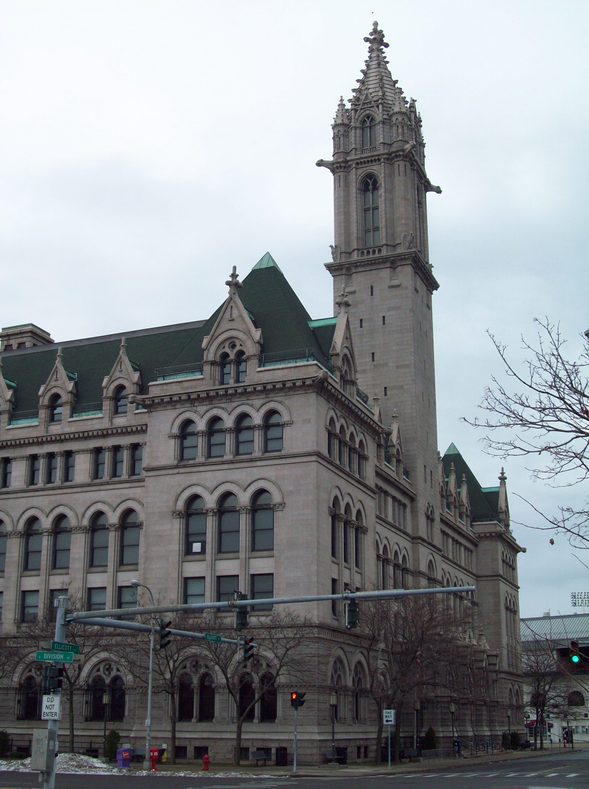
42°56′07″N 78°52′35″W / 42.935278°N 78.876389°WBuffalo Built for Pan American Exposition in 1901 11 Buffalo City Hall 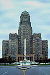
January 15, 1999 65 Niagara Sq.
42°53′12″N 78°52′45″W / 42.886667°N 78.879167°WDowntown Classic 32 story Art Deco municipal building completed in 1931 12 Buffalo Electric Vehicle Company Building 
June 10, 2005 1219-1247 Main St.
42°54′25″N 78°52′02″W / 42.906944°N 78.867222°WCold Spring Former automobile factory and showroom constructed in 1910 13 Buffalo Gas Light Company Works 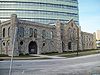
September 1, 1976 249 W. Genesee St.
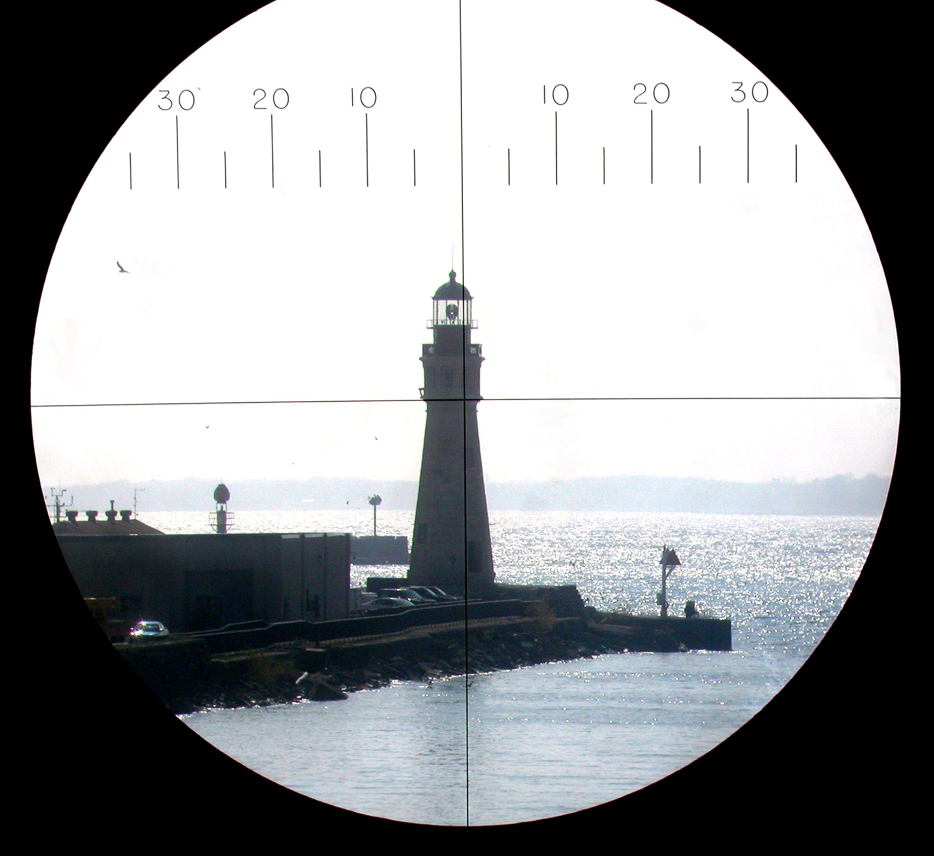
42°53′09″N 78°53′00″W / 42.885833°N 78.883333°WLower West Side Remains of gas works complex built originally in 1848 14 Buffalo Main Light 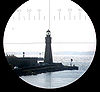
July 19, 1984 Buffalo River
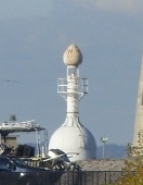
42°52′49″N 78°53′45″W / 42.880278°N 78.895833°WBuffalo Lighthouse established and lit in 1833 and deactivated in 1914 15 Buffalo North Breakwater South End Light 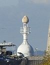
August 4, 1983 Buffalo Harbor
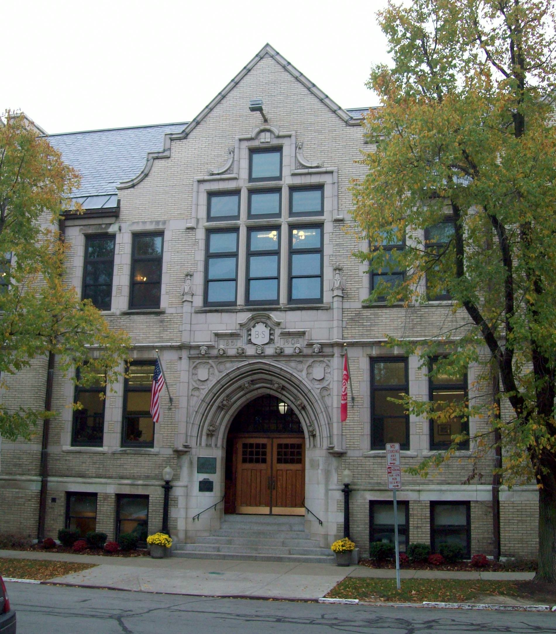
42°52′49″N 78°53′45″W / 42.880278°N 78.895833°WBuffalo Beacon lit in 1903 and removed in 1985 16 Buffalo Seminary 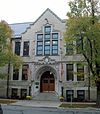
May 11, 2011 205 Bidwell Parkway
42°55′28″N 78°52′30″W / 42.924444°N 78.875°WDelaware District Mid-19th-century girls' school housed in 1909 Tudor Revival building 165 Buffalo Smelting Works 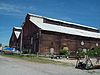
October 18, 2011 23 Austin St. Black Rock New listing; refnum 11000738. From Black Rock Planning Neighborhood MPS 17 Buffalo State Asylum for the Insane 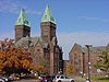
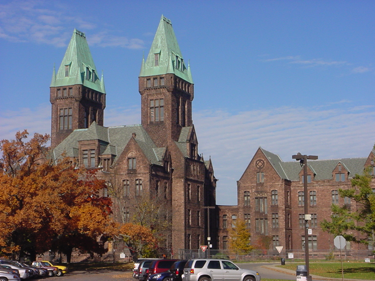
June 24, 1986 400 Forest Ave.
42°55′50″N 78°53′03″W / 42.930556°N 78.884167°WBuffalo Landmark defining architect H. H. Richardson's Richardsonian Romanesque style, also known as Buffalo State Hospital 18 Buffalo State Hospital January 12, 1973 400 Forest Ave.
42°55′49″N 78°52′59″W / 42.930278°N 78.883056°WBuffalo Landmark defining architect H. H. Richardson's Richardsonian Romanesque style, also known as Buffalo State Asylum for the Insane 19 Buffalo Tennis and Squash Club 
December 5, 2008 314 Elmwood Ave.
42°54′20″N 78°52′38″W / 42.905556°N 78.877222°WElmwood Strip Clubhouse building located constructed in 1915-1916 20 Buffalo Trunk Manufacturing Company Building 
February 17, 2010 125 Cherry St.
42°53′38″N 78°51′40″W / 42.893889°N 78.861111°WEast Side New listing; refnum 10000027 21 The Calumet 
November 29, 2010 46-58 W. Chippewa St. / 233 Franklin St.
42°53′25″N 78°52′29″W / 42.890278°N 78.874722°WDowntown New listing; refnum 10000958 22 Cazenovia Park-South Park System 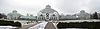
March 30, 1982 South Park, NW along McKinley Pkwy. to Cazenovia Park, NW along McKinley Pkwy. to Heacock Park
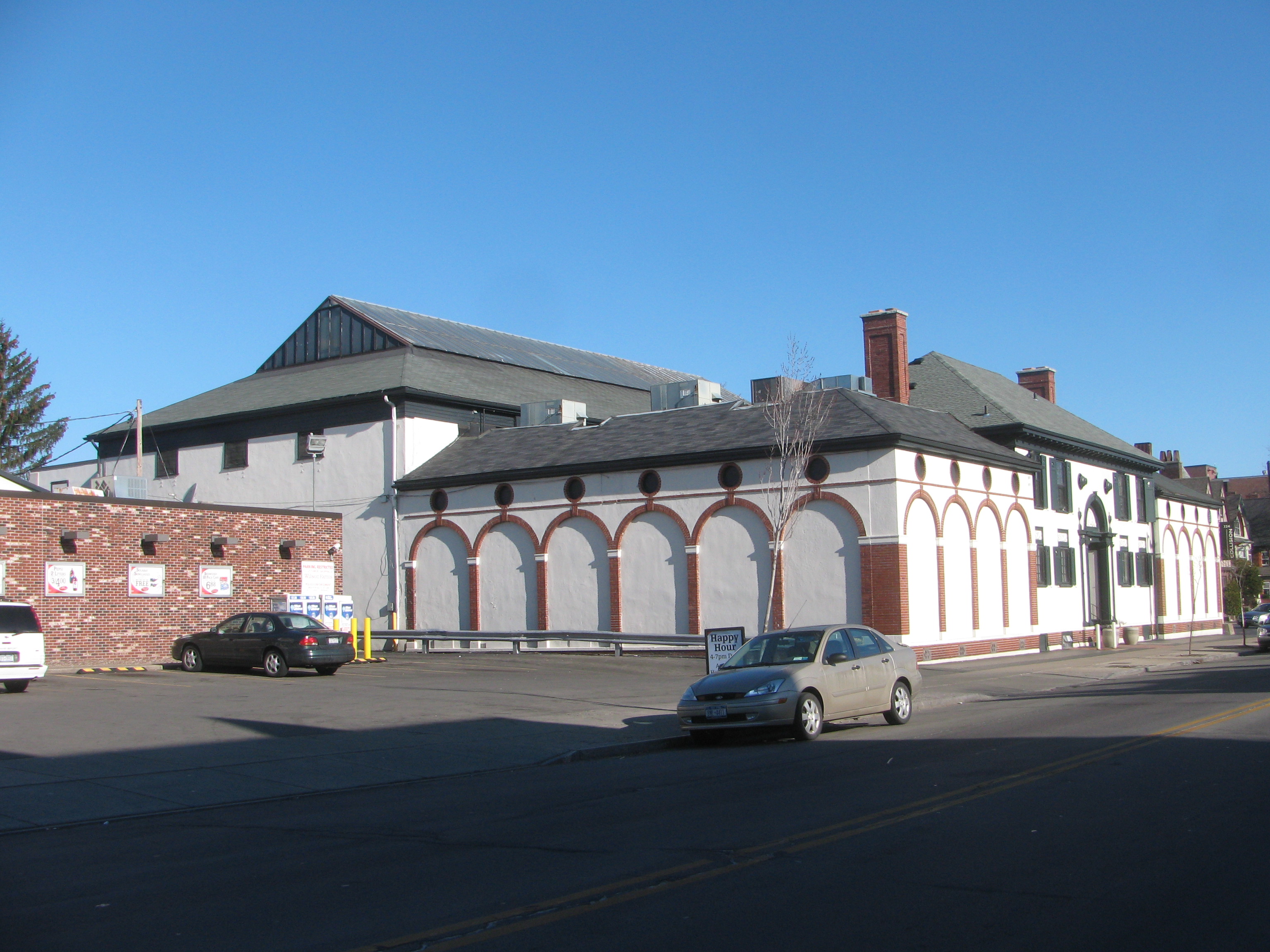
42°50′22″N 78°49′16″W / 42.839444°N 78.821111°WSouth Buffalo, Buffalo, New York Park and parkways system located in South Buffalo; location of the Buffalo and Erie County Botanical Gardens. 23 Robert T. Coles House and Studio 
August 30, 2011 321 Humboldt Pkwy.
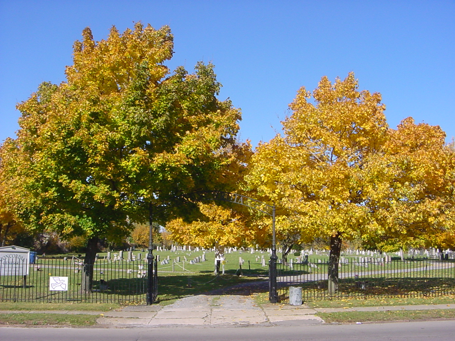
42°55′30″N 78°50′50″W / 42.925°N 78.847222°WHamlin Park Innovative modernist home of prominent African-American architect anticipated expansion of street by putting rear of building to it 24 Concordia Cemetery 
February 28, 2008 438 Walden Ave.
42°54′22″N 78°49′11″W / 42.906111°N 78.819722°WEast Side German Lutheran Cemetery established in 1859 25 Concrete-Central Elevator 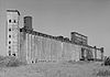
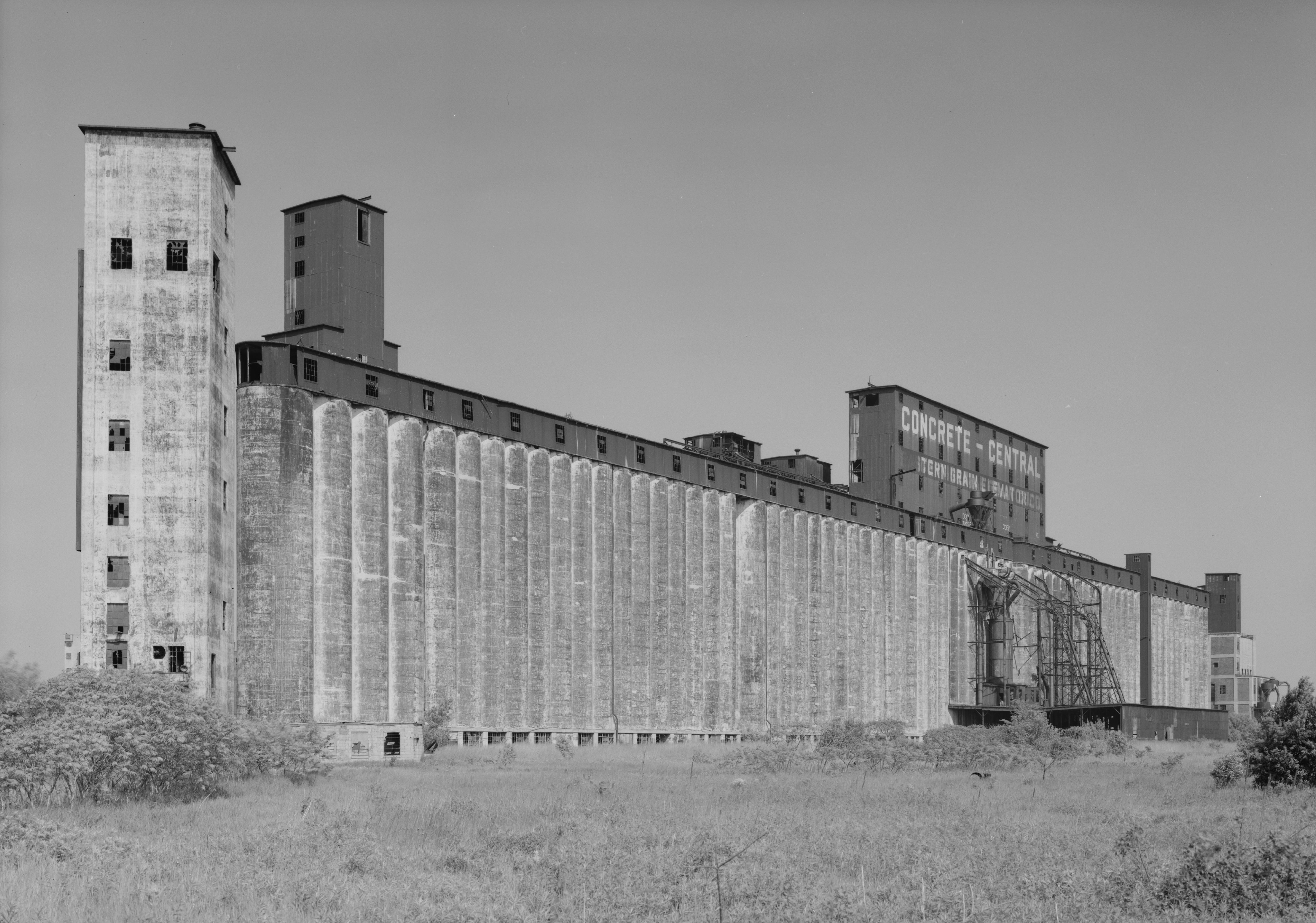
May 19, 2003 175 Buffalo River
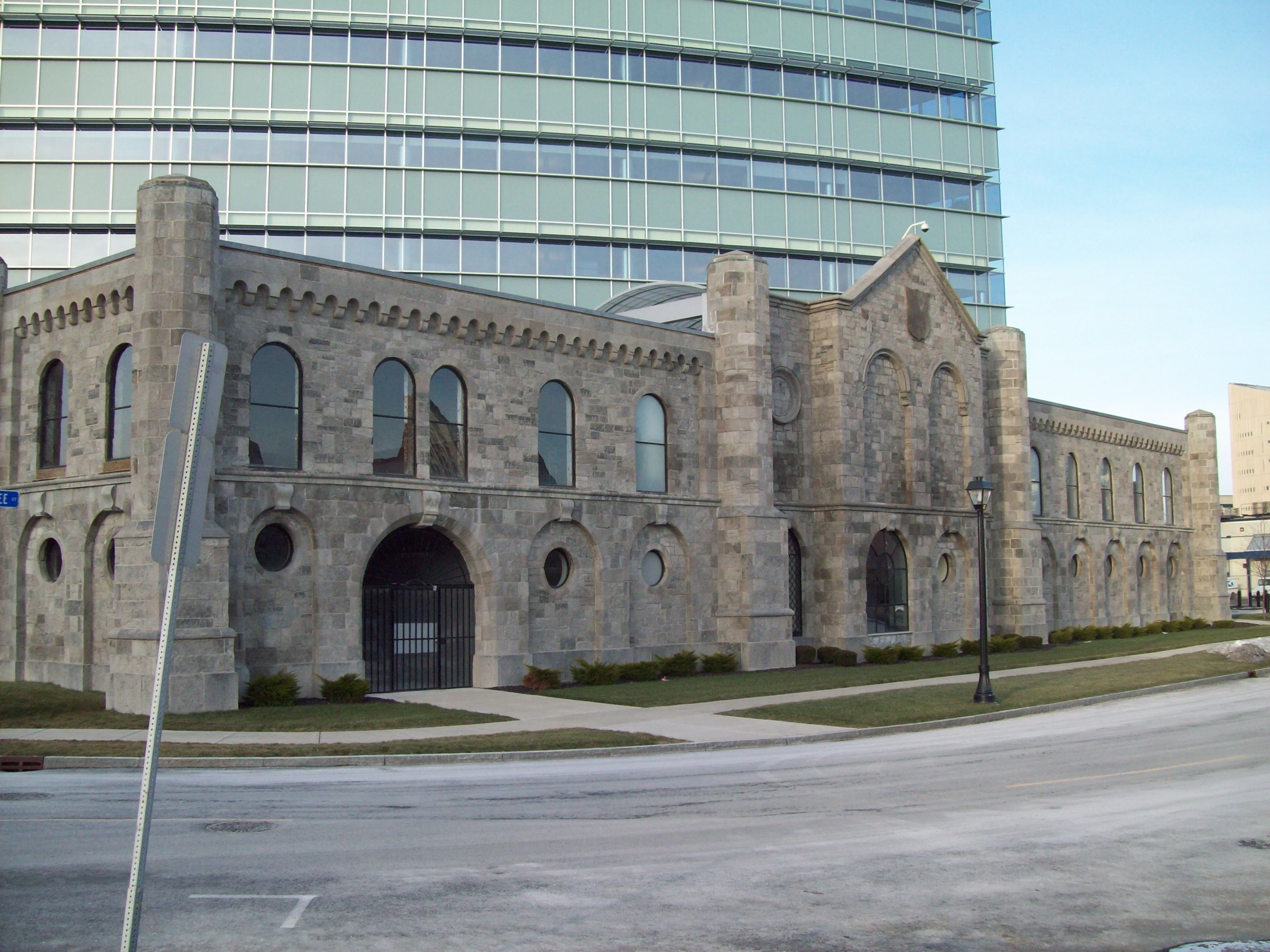
42°51′37″N 78°51′20″W / 42.860278°N 78.855556°WBuffalo Grain elevator built between 1915 and 1917 and in operation until 1973 26 Connecticut Street Armory 
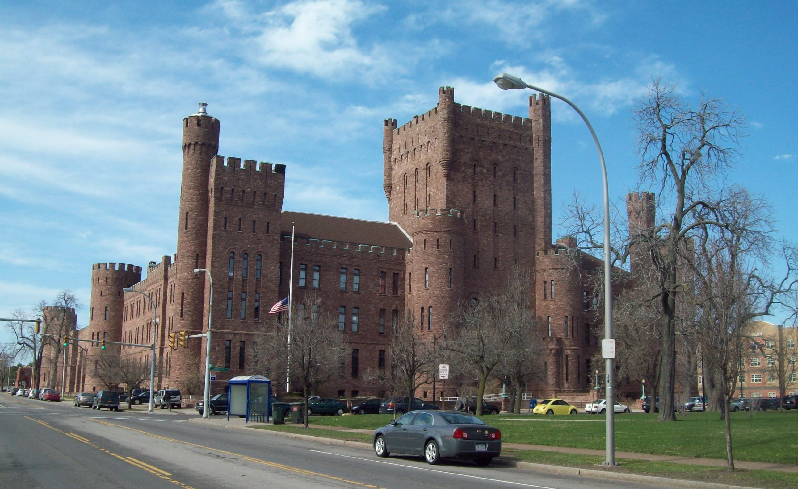
January 12, 1995 184 Connecticut St.
42°54′14″N 78°53′39″W / 42.903889°N 78.894167°WBuffalo National Guard armory built in 1899 27 Corpus Christi R. C. Church Complex 
June 27, 2007 199 Clark St.
42°53′29″N 78°50′10″W / 42.891389°N 78.836111°WEast Side Massive sandstone church built about 1900 28 County and City Hall 
May 24, 1976 95 Franklin St.
42°53′03″N 78°52′42″W / 42.884167°N 78.878333°WDowntown Granite courthouse building constructed between 1871 and 1875 29 Harlow C. Curtiss Building 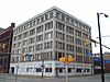
December 5, 2008 204-210 Franklin St.
42°53′21″N 78°52′33″W / 42.889167°N 78.875833°WDowntown Office building built in 1912 30 Dayton House 
October 18, 2011 243 Dearborn St. Black Rock New listing; refnum 11000739. From Black Rock Planning Neighborhood MPS 31 Delaware Avenue Historic District 
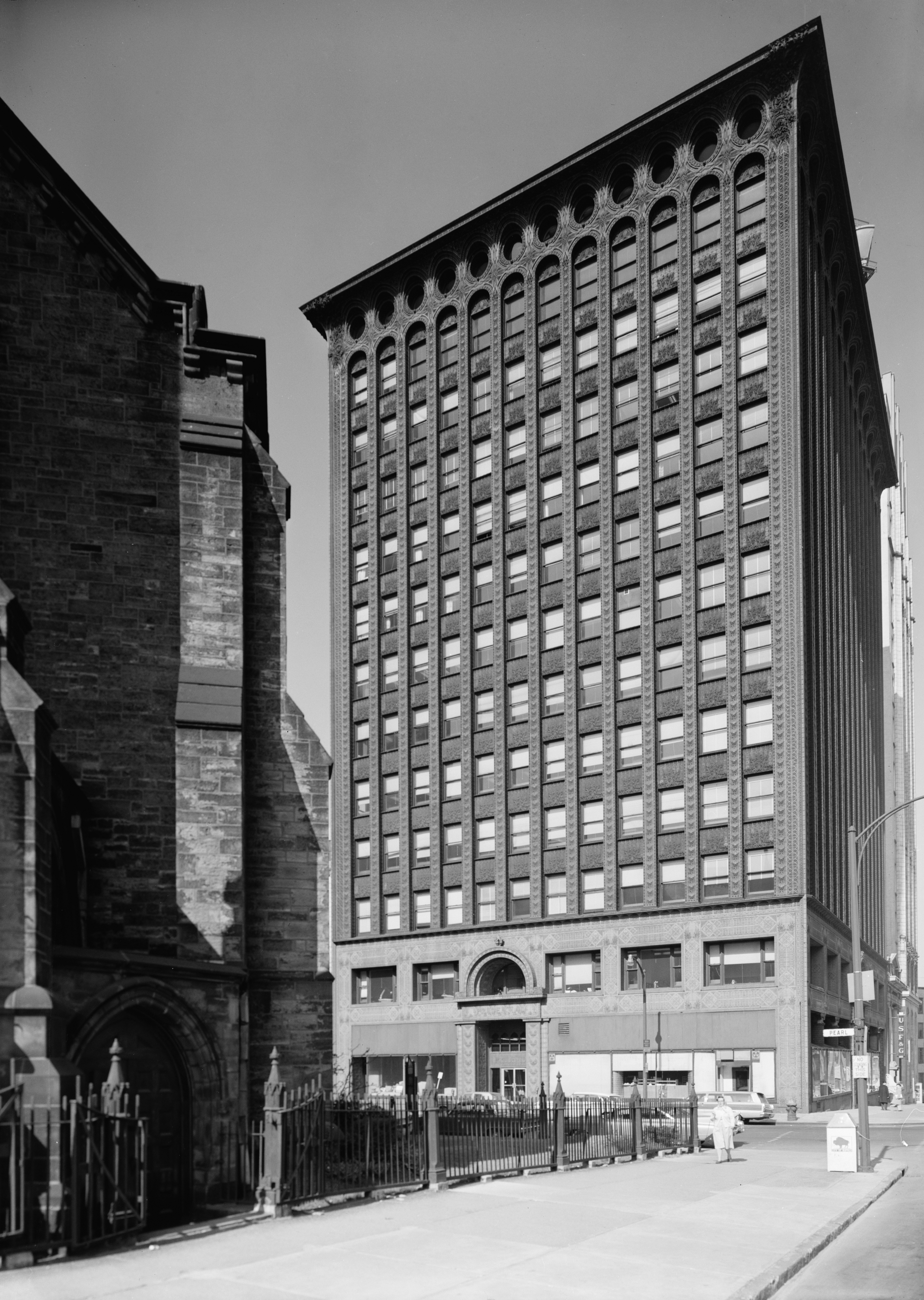
January 17, 1974 Western side of Delaware Ave. between North and Bryant Sts.
42°54′20″N 78°52′23″W / 42.905556°N 78.873056°WDelaware District Historic district encompassing area once known as Millionaires' Mile. 32 Delaware Avenue Methodist Episcopal Church 
November 15, 2003 339 Delaware Ave.
42°53′37″N 78°52′31″W / 42.893611°N 78.875278°WDowntown Church constructed in two phases between 1871 and 1876; now home to Righteous Babe Records 33 Delaware Park-Front Park System 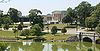
March 30, 1982 Front Park, Porter Ave. to Symphony Cir., N along Richmond Ave., Bidwell Pkwy., Gates Cir. and Delaware Park
42°55′10″N 78°52′47″W / 42.919444°N 78.879722°WBuffalo Park and parkway system in north and west Buffalo; connects city neighborhoods and major cultural landmarks such as Albright-Knox Art Gallery, Buffalo and Erie County Historical Society, Buffalo Zoo, and Kleinhans Music Hall. 34 Edward A. Diebolt House 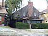
July 12, 2006 62 Niagara Falls Blvd.
42°57′53″N 78°49′23″W / 42.964722°N 78.823056°WUniversity Heights Colonial Revival style frame house built in 1922-1923 35 William Dorsheimer House 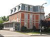
November 21, 1980 434 Delaware Ave.
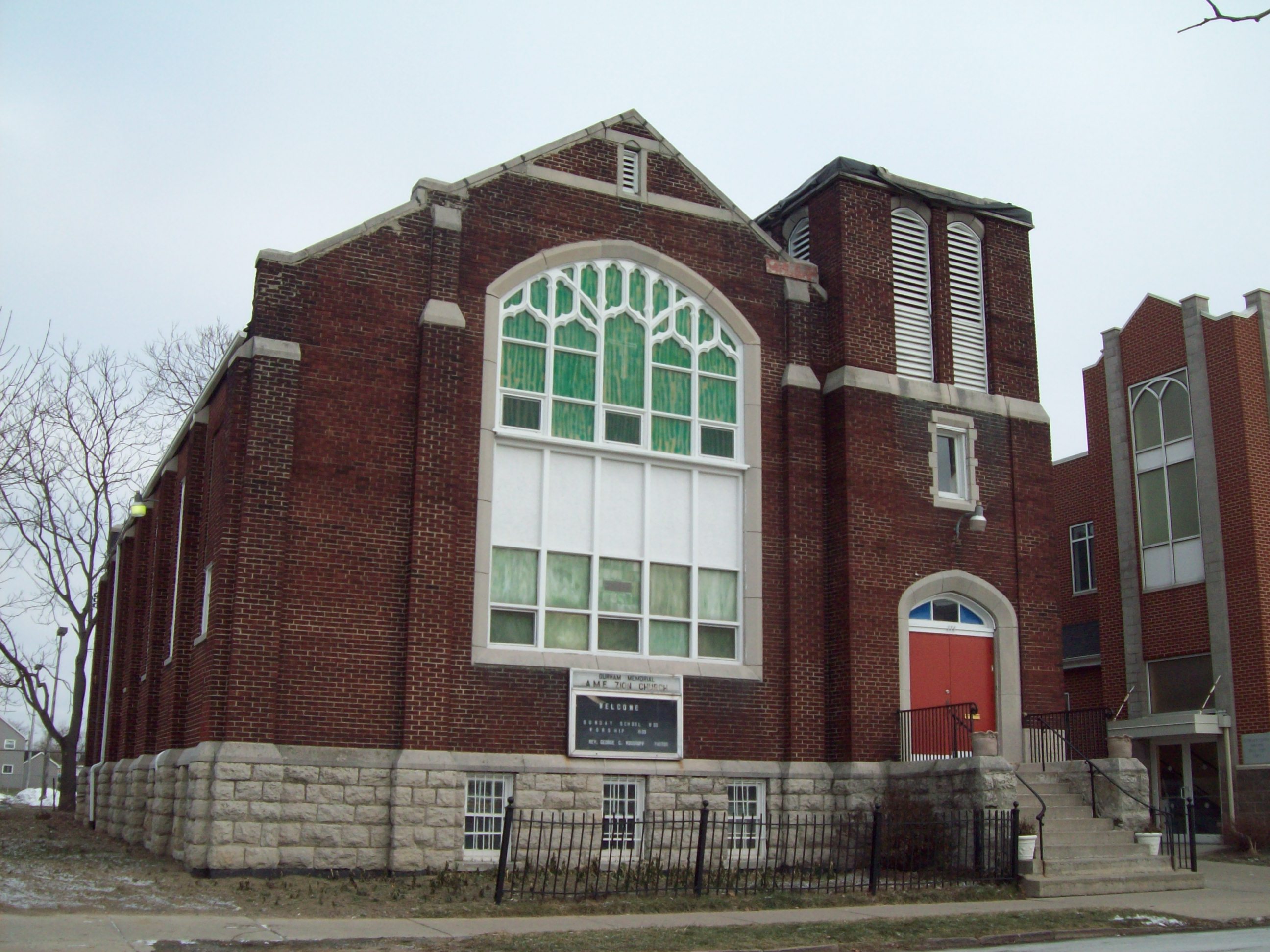
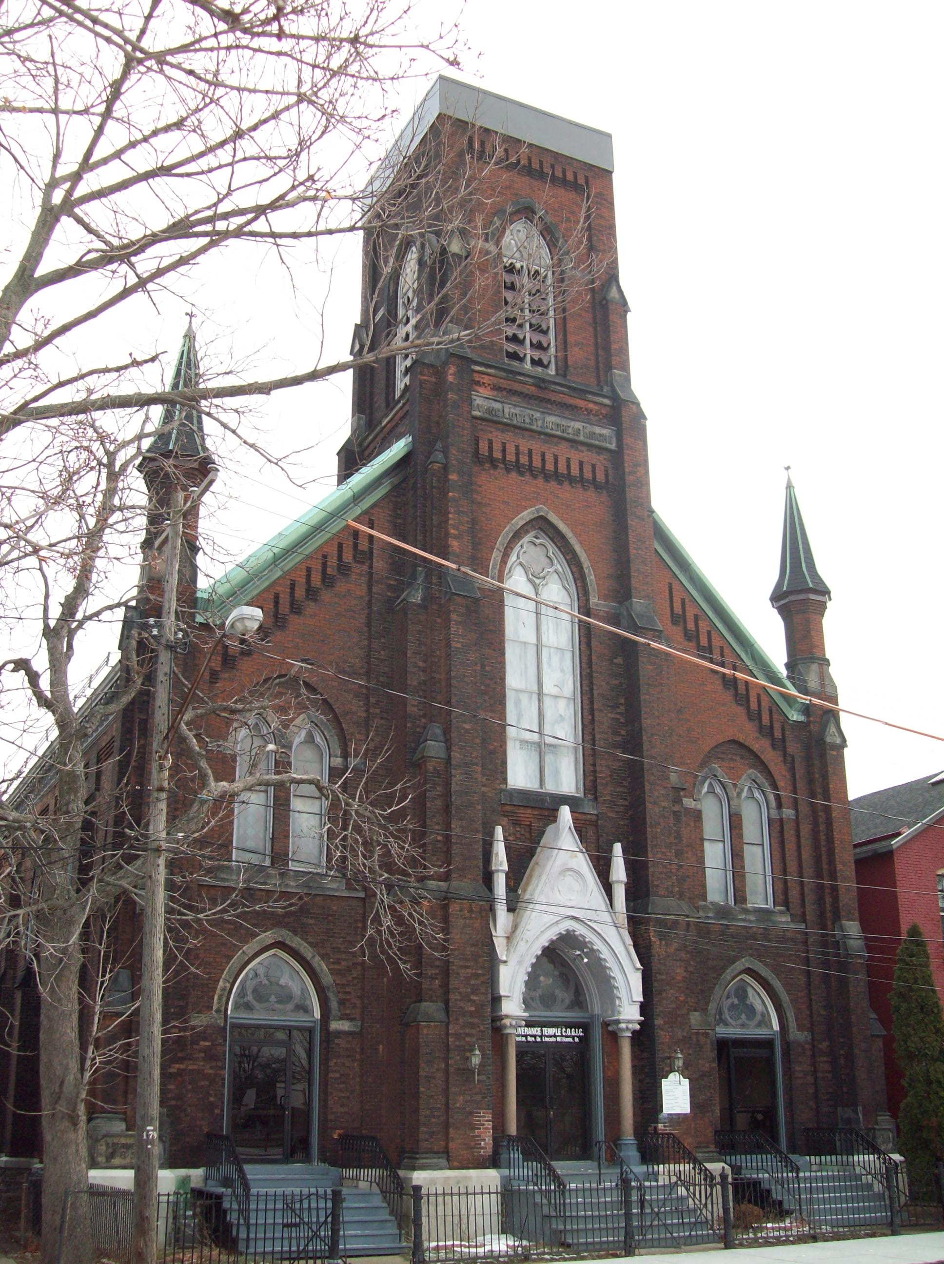
42°53′46″N 78°52′31″W / 42.896111°N 78.875278°WAllentown Brick dwelling designed and built in 1868 by Henry Hobson Richardson (1838-1886) for William Dorsheimer (1832-1888) 36 Durham Memorial A.M.E. Zion Church 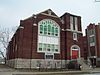
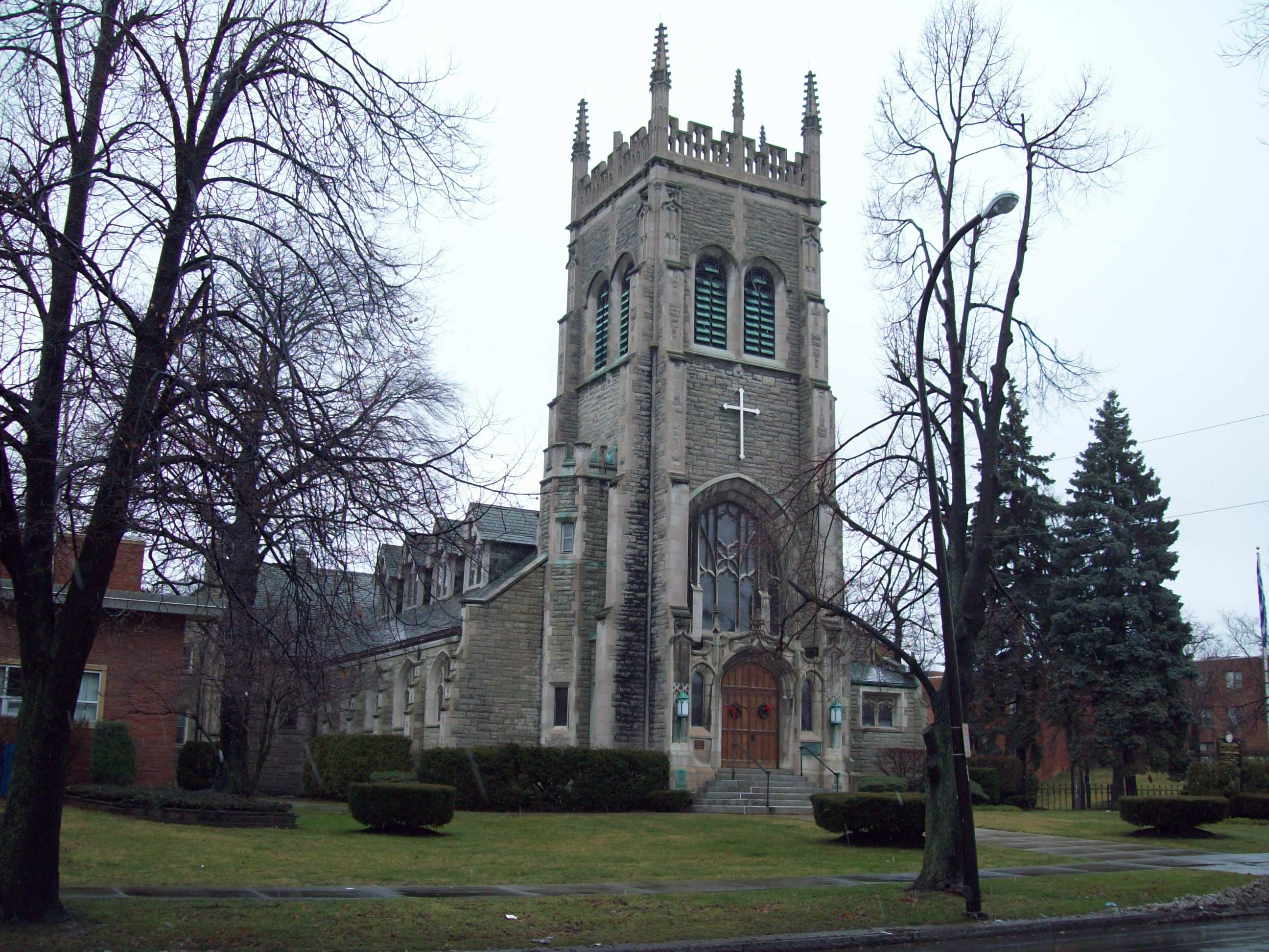
September 15, 1983 174 E. Eagle St.
42°53′00″N 78°52′07″W / 42.883333°N 78.868611°WEast Side African American brick church constructed in 1920 37 Eberz House 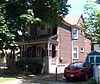
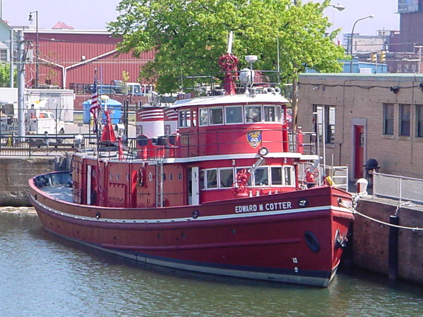
October 18, 2011 285 Dearborn St. Black Rock New listing; refnum 11000740. From Black Rock Planning Neighborhood MPS. 38 EDWARD M. COTTER (fireboat) 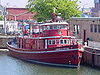
June 28, 1996 Jct. of Michigan and Ohio Sts. on the Buffalo River
42°51′41″N 78°50′41″W / 42.861389°N 78.844722°WBuffalo Fireboat built in 1900 and rebuilt in 1953 39 Engine House No. 2 and Hook and Ladder No. 9 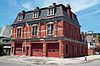
May 11, 2011 310 Jersey St.
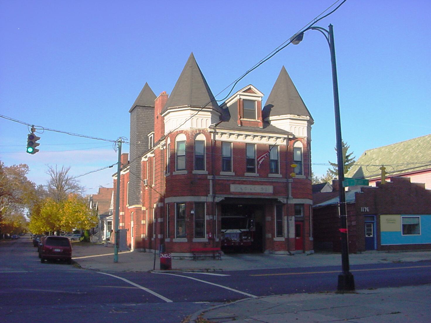
42°54′08″N 78°53′11″W / 42.902222°N 78.886389°WLower West Side New listing; refnum 11000272 40 Engine House No. 28 
May 25, 2001 1170 Lovejoy St.
42°53′23″N 78°48′18″W / 42.889722°N 78.805°WBailey-Lovejoy Queen Anne style firehouse built in 1897 41 Forest Lawn Cemetery 
May 10, 1990 1411 Delaware Ave.
42°55′38″N 78°51′44″W / 42.927222°N 78.862222°WDelaware District Cemetery of 250 acres (1.0 km2) founded in 1849 42 Fosdick-Masten Park High School 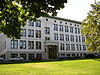
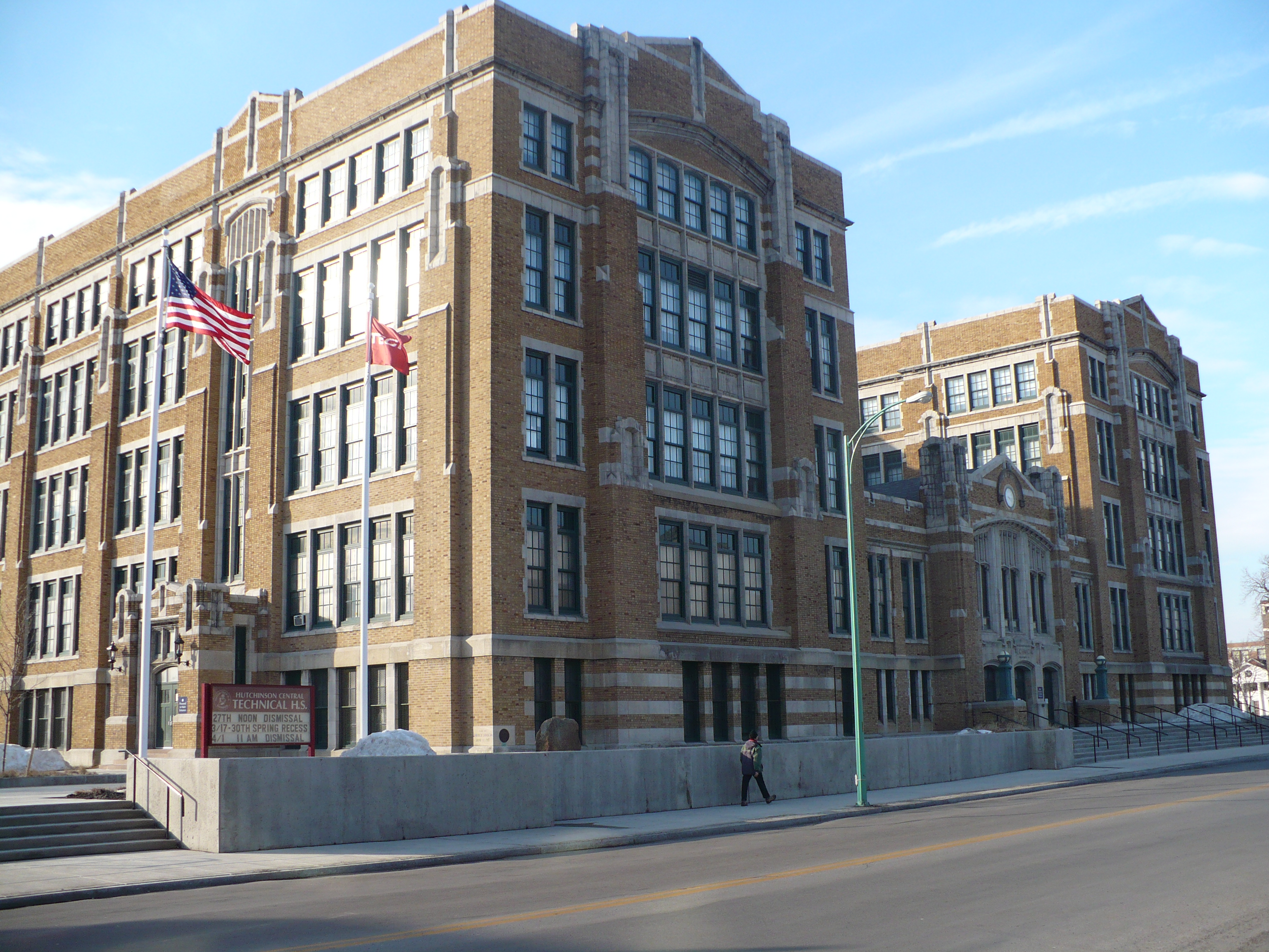
June 30, 1983 Masten Ave. and E. North St.
42°54′11″N 78°51′38″W / 42.90306°N 78.86056°WFruit Belt Public high school building built 1912-1914 43 Garret Club 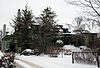
January 4, 2007 91 Cleveland Ave.
42°55′04″N 78°52′22″W / 42.917778°N 78.872778°WDelaware District Former clubhouse building built in 1929 44 General Electric Tower 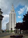
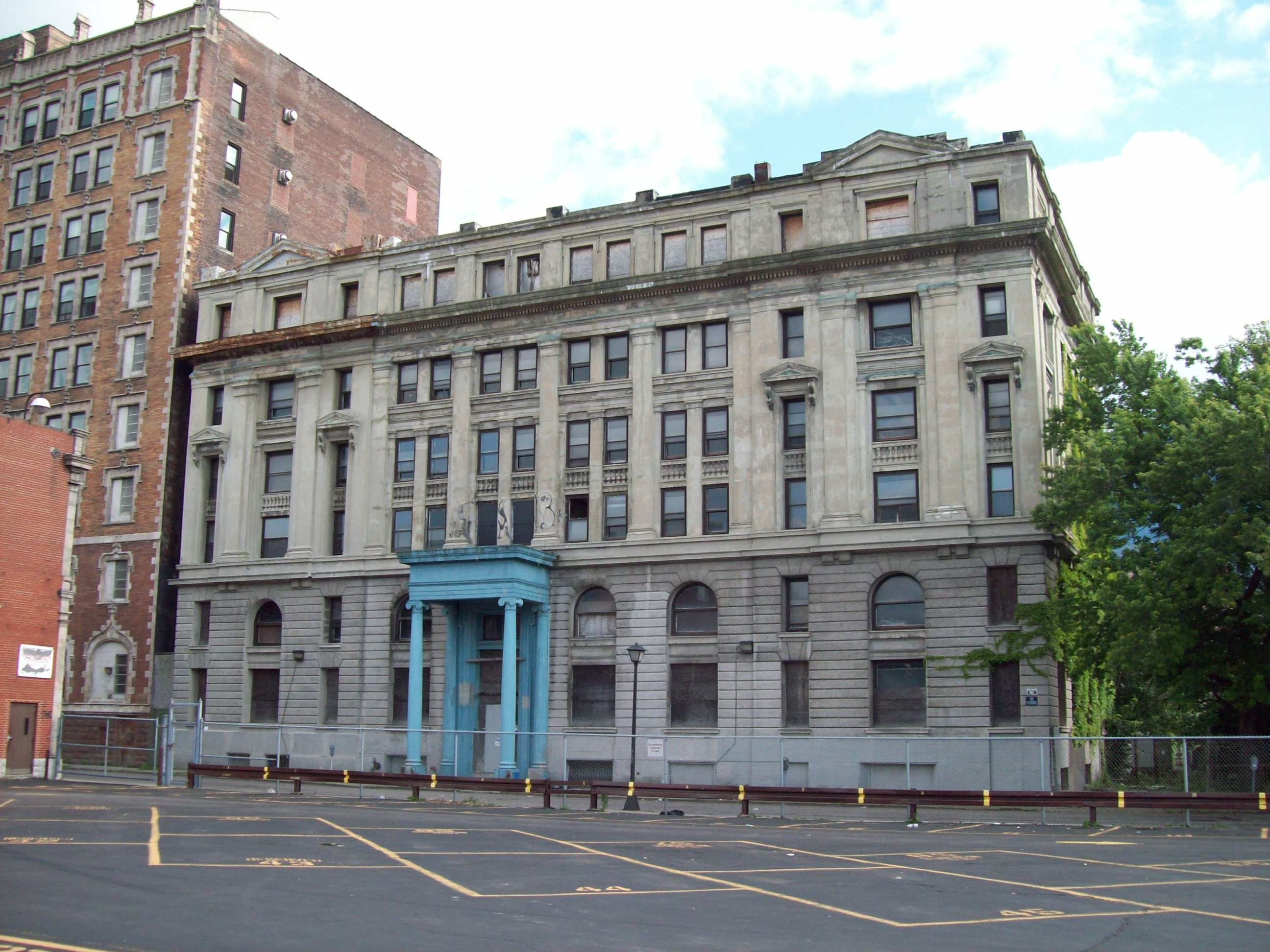
September 12, 2008 535 Washington St.
42°53′19″N 78°52′20″W / 42.888611°N 78.872222°WDowntown Beaux-Arts Classical Revival style office building built in 1912 45 Hellenic Orthodox Church of the Annunciation 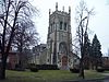
November 13, 2002 1000 Delaware Ave.
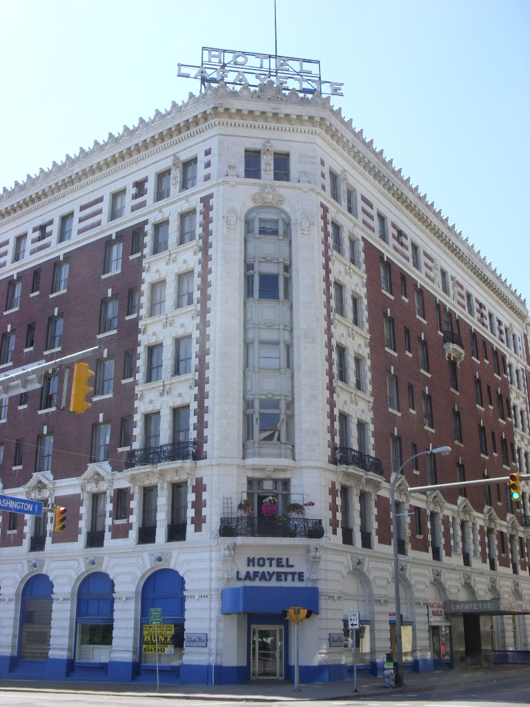
42°54′39″N 78°52′20″W / 42.910833°N 78.872222°WDelaware District Gothic Revival style church constructed in 1906 as home to North Presbyterian Church 46 Hotel Lafayette 
August 19, 2010 391 Washington St.
42°53′04″N 78°52′22″W / 42.884444°N 78.872778°WDowntown New listing; refnum 10000555 47 House at 218 Dearborn Street 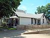
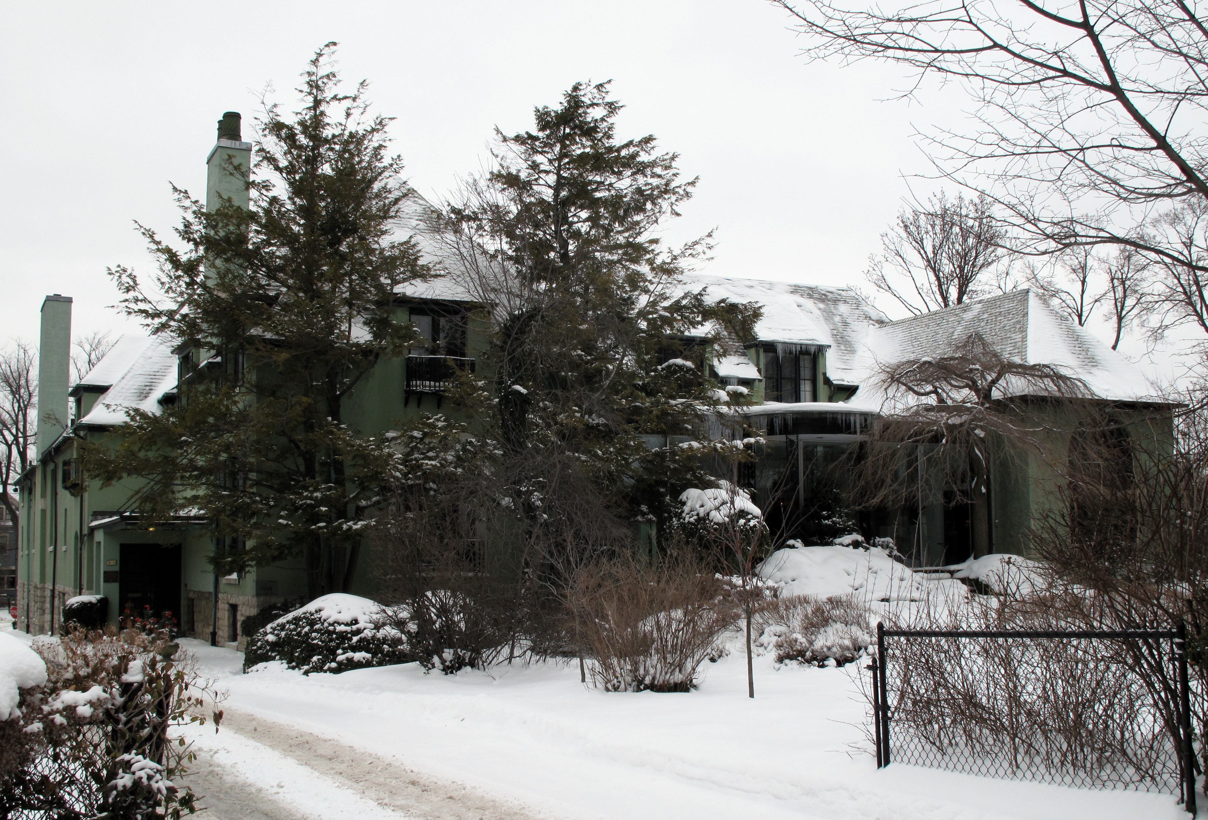
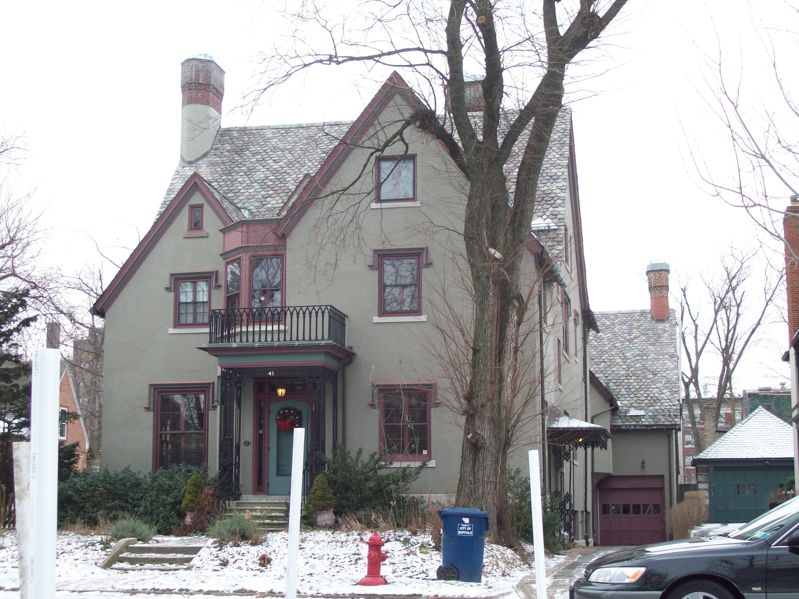
October 18, 2011 218 Dearborn St. Black Rock New listing; refnum 11000741. From Black Rock Planning Neighborhood MPS 48 James and Fanny How House 
May 23, 1997 41 St. Catherine's Crt.
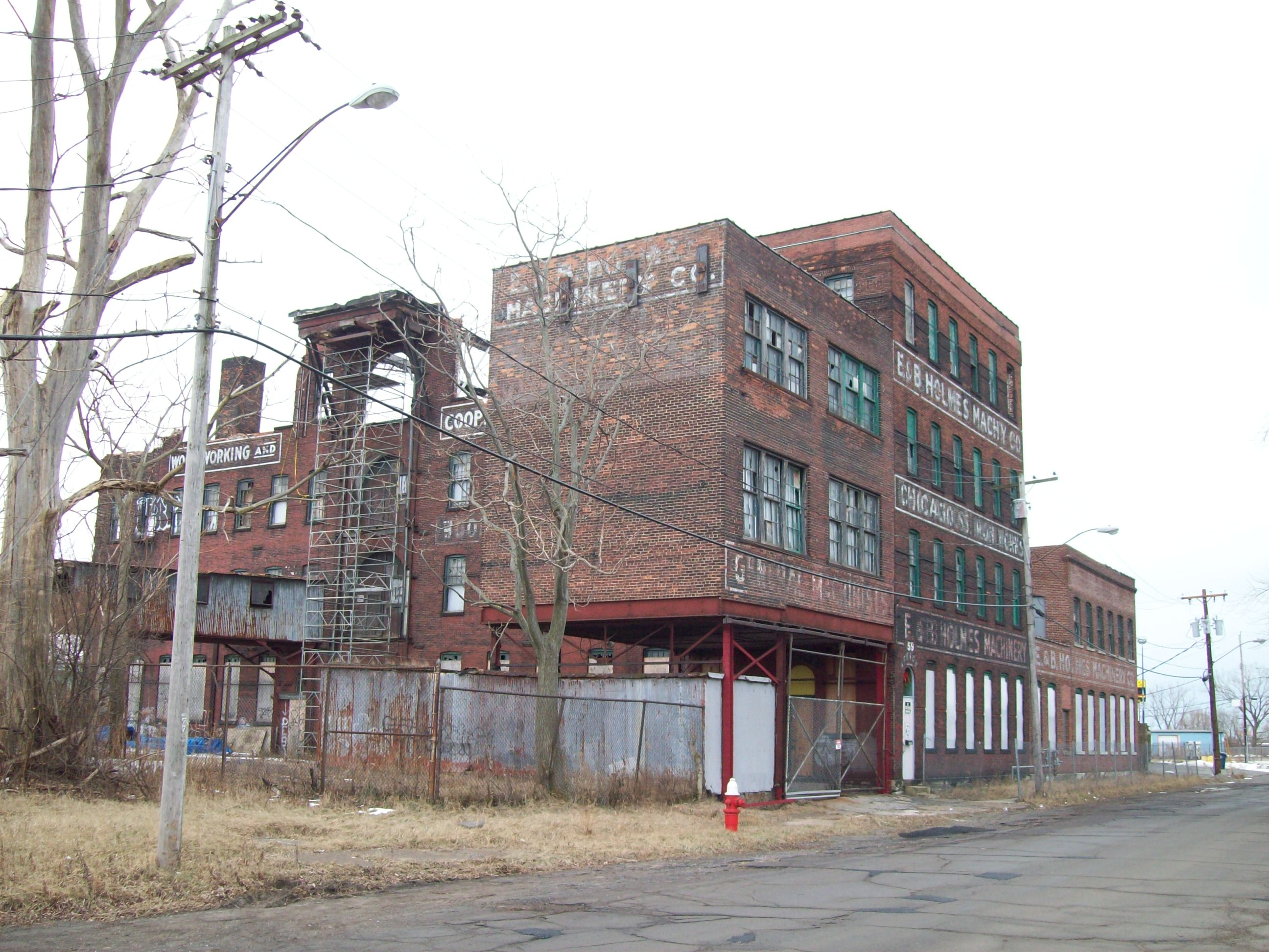
42°54′59″N 78°52′28″W / 42.916389°N 78.874444°WDelaware District Tudor Revival house designed in 1924 49 E. & B. Holmes Machinery Company Building 
June 2, 2009 55-59 Chicago St.
42°52′11″N 78°52′08″W / 42.869722°N 78.868889°WFirst Ward Former barrel machinery manufacturing complex 50 Edgar W. Howell House 
November 15, 2007 52 Lexington Ave.
42°54′46″N 78°52′21″W / 42.912778°N 78.8725°WDelaware District Late Victorian Eclectic house dated to 1889 51 Edwin M. and Emily S. Johnston House 
May 23, 1997 24 Tudor Pl.
42°55′01″N 78°52′30″W / 42.916944°N 78.875°WDelaware District Colonial Revival house designed in 1934 by Bley & Lyman 52 The Kamman Building 
March 1, 2010 755 Seneca St.
42°52′33″N 78°50′57″W / 42.875833°N 78.849167°WEast Side New listing; refnum 10000043, from Hydraulics/Larkin Neighborhood MPS 53 Col. William Kelly House 
May 23, 1997 36 Tudor Place
42°55′01″N 78°52′30″W / 42.916944°N 78.875°WDelaware District Colonial Revival house constructed in 1937 54 Kensington Gardens Apartment Complex 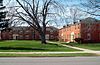
December 7, 2010 1, 2, 3 W. Cleveland Dr.
42°56′30″N 78°47′59″W / 42.941667°N 78.799722°WKensington 55 Martin Luther King, Jr. Park 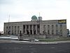
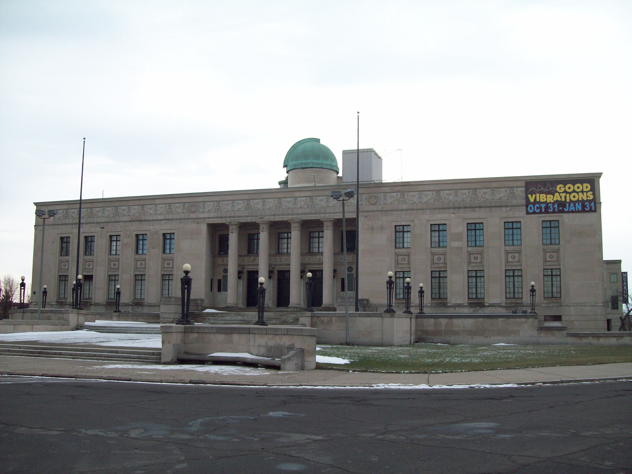
March 30, 1982 Roughly bounded by Northampton St., E. Parade Ave., Best St. and Kensington Expressway
42°54′19″N 78°50′26″W / 42.905278°N 78.840556°WEast Side Location of the Buffalo Museum of Science; park designed by Frederick Law Olmsted 56 Kleinhans Music Hall 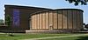
June 29, 1989 Symphony Circle
42°54′06″N 78°53′00″W / 42.901667°N 78.883333°WAllentown and contributing structure to Allentown Historic District Home of the Buffalo Philharmonic Orchestra and designed by Eliel Saarinen with his son Eero Saarinen, built 1938-1940 57 Lafayette Avenue Presbyterian Church 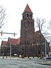
August 21, 2009 875 Elmwood Ave.
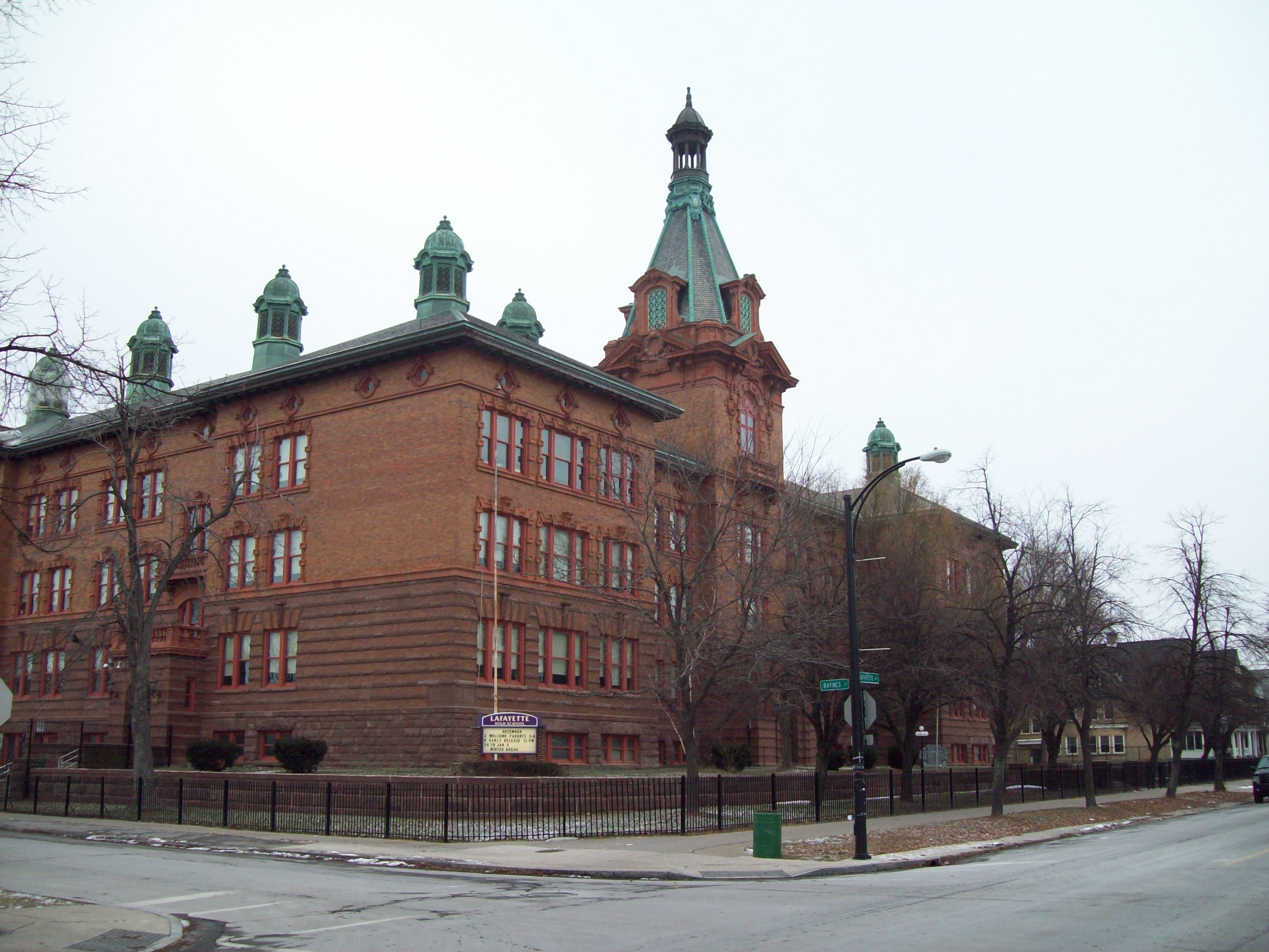
42°55′15″N 78°52′37″W / 42.920833°N 78.876944°WElmwood Strip New listing; refnum 09000630 58 Lafayette High School 
December 3, 1980 370 Lafayette Ave.
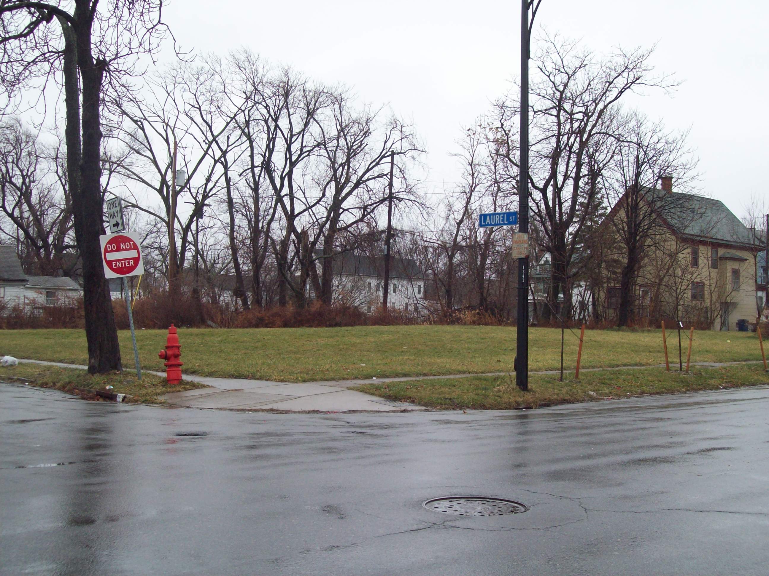
42°55′15″N 78°53′05″W / 42.920833°N 78.884722°WWest Side Public high school building built 1901-1903 59 Laurel and Michigan Avenues Row 
March 19, 1986 1335-1345 Michigan Ave.
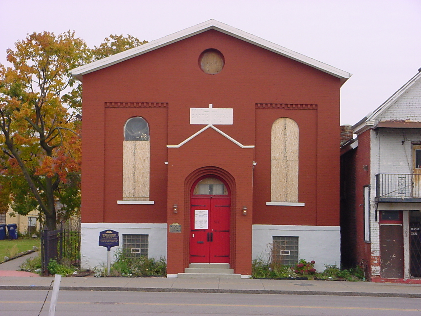
42°54′36″N 78°51′45″W / 42.91°N 78.8625°WEast Side Former frame rowhouse structure demolished in 1997 60 Macedonia Baptist Church 
February 12, 1974 511 Michigan Ave.
42°53′10″N 78°52′03″W / 42.886111°N 78.8675°WEast Side African American Baptist church constructed in 1845 61 Market Street Historic District 
October 18, 2011 Amherst St. between Niagara & Tonawanda Sts. & portions of Dearborn & East Sts., Black Rock New listing; refnum 11000743. From Black Rock Planning Neighborhood MPS 62 D. D. Martin House Complex 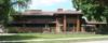
December 30, 1975 123 Jewett Pkwy.
42°56′11″N 78°50′53″W / 42.936389°N 78.848056°WParkside House and related structures designed by Frank Lloyd Wright 63 Darwin D. Martin House February 24, 1986 125 Jewett Pkwy.
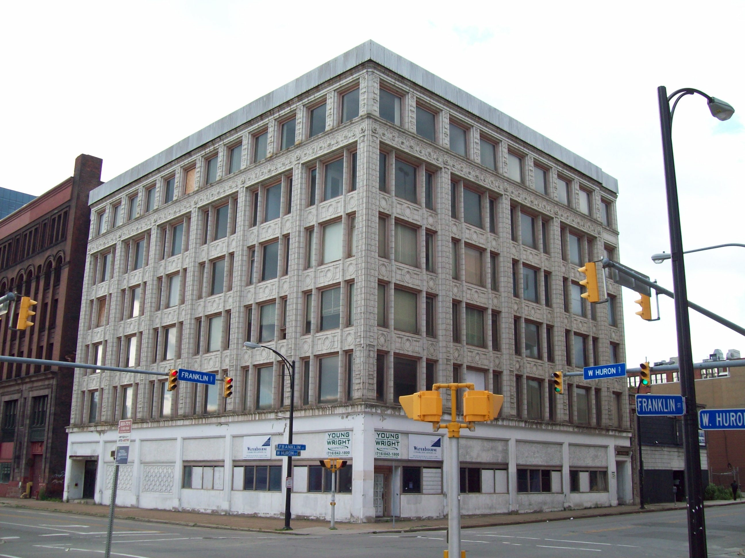
42°56′11″N 78°50′53″W / 42.936389°N 78.848056°WParkside House and related structures designed by Frank Lloyd Wright 64 C. W. Miller Livery Stable 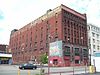
December 11, 2007 75 W. Huron St.
42°53′29″N 78°52′34″W / 42.891389°N 78.876111°WDowntown Late 19th century multi-story livery stable 65 Rev. J. Edward Nash Sr. House 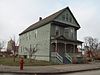
January 4, 2007 36 Nash St.
42°53′09″N 78°52′01″W / 42.885833°N 78.866944°WEast Side Queen Anne style dwelling constructed in 1892 66 New York Central Terminal 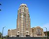
September 7, 1984 495 Paderewski Dr.
42°53′18″N 78°49′54″W / 42.888333°N 78.831667°WPolonia Former central passenger terminal for New York Central Railroad 67 Packard Motor Car Showroom and Storage Facility 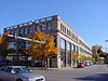
July 14, 2006 1325 Main St.
42°54′35″N 78°51′59″W / 42.909722°N 78.866389°WCold Spring Reinforced concrete automobile showroom designed in 1926 by Albert Kahn 68 Parke Apartments 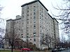
May 30, 2007 33 Gates Circle
42°55′14″N 78°52′08″W / 42.920556°N 78.868889°WDelaware District Large apartment building built 1926-1927 69 Parkside East Historic District 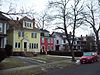
October 17, 1986 Roughly bounded by Parkside Ave., Amherst St., Colvin Ave., New York Central RR tracks, Main St., and Humboldt Ave.
42°56′09″N 78°50′59″W / 42.935833°N 78.849722°WParkside Historic district of 1,769 contributing structures developed primarily from 1876 to 1936, as a middle class residential neighborhood 70 Parkside West Historic District 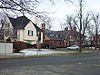
December 10, 1986 Roughly bounded by Amherst St., Nottingham Terr., Middlesex Rd., and Delaware Ave.
42°56′15″N 78°52′01″W / 42.9375°N 78.866944°WNorth Park Historic district of 137 contributing structures developed primarily from 1923 to 1940, as a middle class residential neighborhood 71 Pierce Arrow Factory Complex 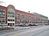
October 1, 1974 Elmwood and Great Arrow Aves.
42°56′34″N 78°52′26″W / 42.942778°N 78.873889°WNorth Buffalo, Buffalo, New York Former Pierce-Arrow automobile factory complex and designed by Albert Kahn in about 1906 72 Prudential Building 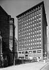
March 20, 1973 Church and Pearl Sts.
42°52′58″N 78°52′36″W / 42.882778°N 78.876667°WDowntown Early skyscraper office building designed by Louis Sullivan and Dankmar Adler, and built in 1894 73 Richmond Avenue Methodist-Episcopal Church 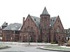
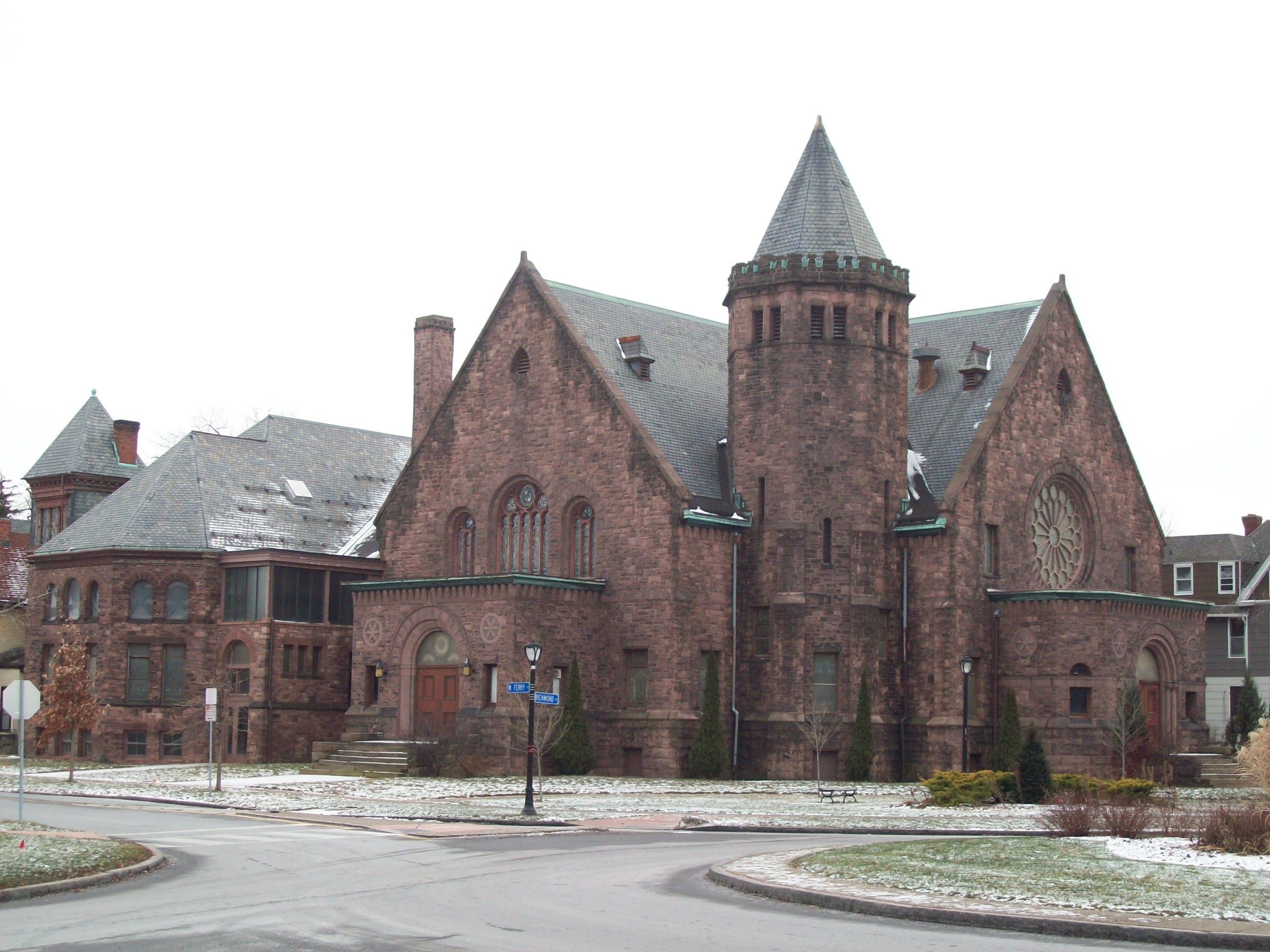
December 5, 2008 525 W. Ferry St.
42°54′56″N 78°52′53″W / 42.915556°N 78.881389°WWest Side Church complex constructed between 1885 and 1898 built of Medina sandstone; now home to Upper West Side Arts Center 74 Riverside Park 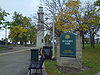
March 30, 1982 Roughly bounded by Vulcan, Tonawanda, Crowley, and Niagara St.
42°57′20″N 78°54′32″W / 42.955556°N 78.908889°WRiverside, Buffalo, New York Park located in northwest Buffalo overlooking the Niagara River 75 Theodore Roosevelt Inaugural National Historic Site 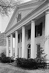
November 2, 1966 641 Delaware Ave.
42°54′5″N 78°52′21″W / 42.90139°N 78.8725°WAllentown Home where Theodore Roosevelt took the oath of office as President of the United States on September 14, 1901, following the assassination of William McKinley 76 Saturn Club 
May 19, 2005 977 Delaware Ave.
42°54′38″N 78°52′13″W / 42.910556°N 78.870278°WDelaware District Tudor Revival clubhouse structure opened in 1922 77 School 13 
March 15, 2005 266-268 Oak St.
42°53′20″N 78°52′13″W / 42.888889°N 78.870278°WDowntown Former school building built in 1915 78 Shea's Buffalo Theater 
May 6, 1975 646 Main St.
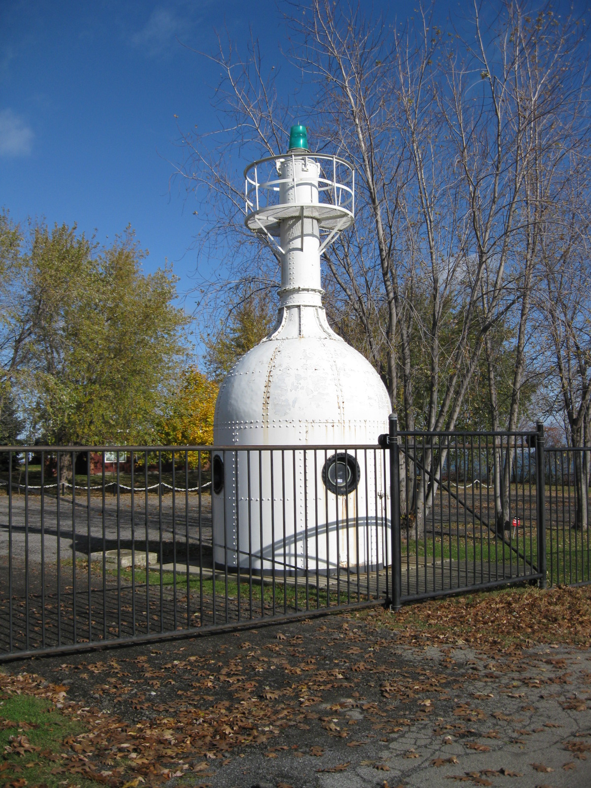
42°53′29″N 78°52′25″W / 42.891389°N 78.873611°WDowntown Former movie palace originally called Shea's Buffalo and opened in 1926 79 South Buffalo North Side Light 
August 4, 1983 Buffalo Harbor
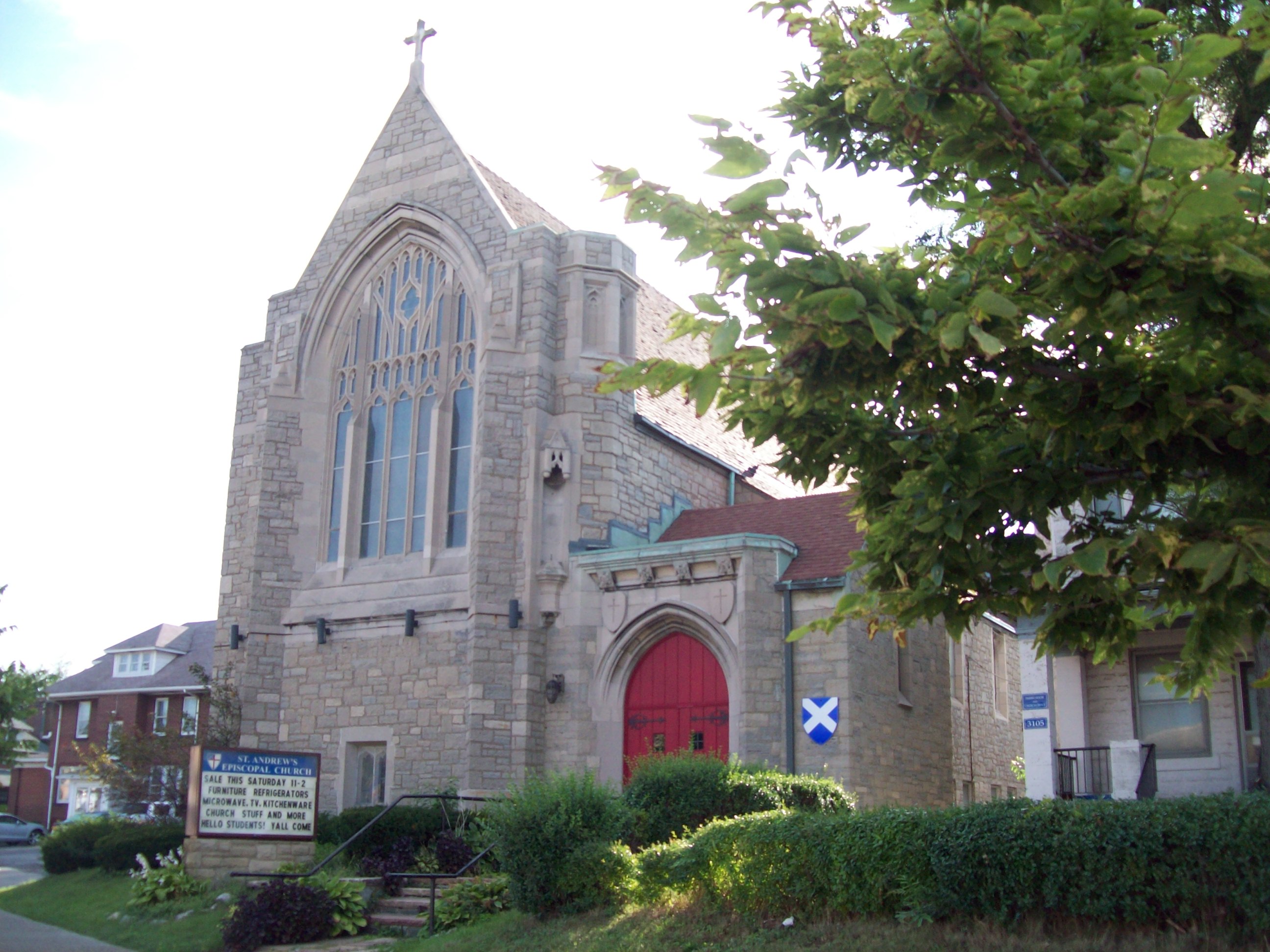
42°50′07″N 78°52′03″W / 42.835278°N 78.8675°WBuffalo Former light installed in 1903, removed in 1985, and now located at the Dunkirk Lighthouse and Veterans Park Museum 80 St. Andrew's Episcopal Church 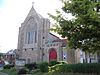
June 9, 2010 3105 Main St.
42°50′07″N 78°52′03″W / 42.835278°N 78.8675°WBuffalo New listing; refnum 10000333 81 St. Andrew's Evangelical Lutheran Church Complex 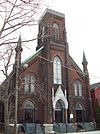
September 8, 1983 Sherman and Peckham Sts.
42°53′17″N 78°50′48″W / 42.888056°N 78.846667°WEast Side Former Evangelical Lutheran church complex consisting of church, parish house, and school constructed 1859-1892 82 St. Francis Xavier Roman Catholic Parish Complex 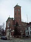
August 20, 2009 157 East St.
42°56′09″N 78°54′01″W / 42.935833°N 78.900278°WBlack Rock, Buffalo, New York New listing; refnum 09000631 83 St. Paul's Cathedral (Buffalo) 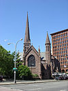
None 125 and/or 139 Pearl St.
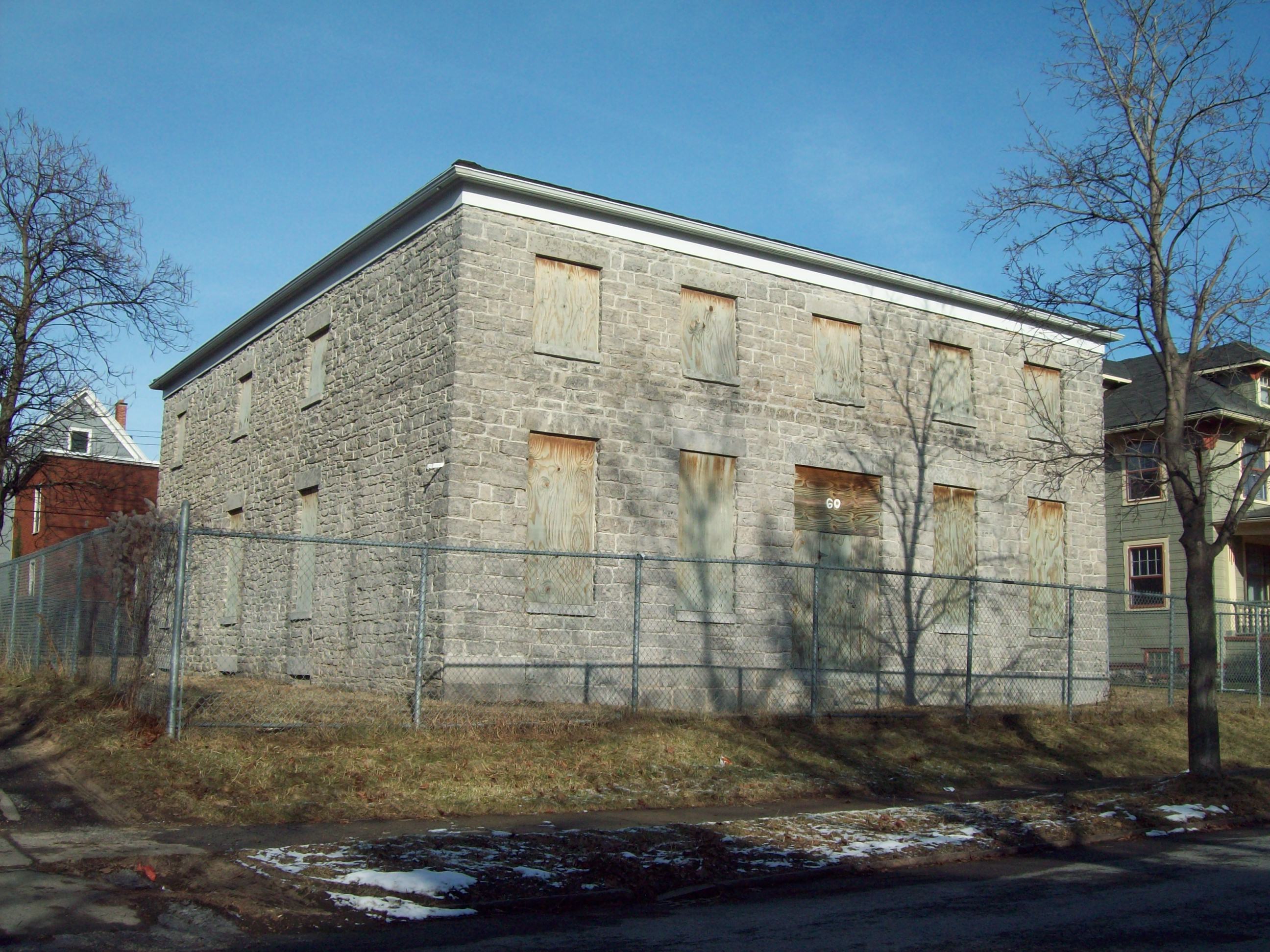
42°52′58″N 78°52′35″W / 42.882778°N 78.876389°WDowntown The cathedral of the Episcopal Diocese of Western New York; built 1849-1851 and designed by Richard Upjohn 84 Stone Farmhouse 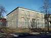
February 1, 1999 60 Hedley Pl.
42°55′24″N 78°51′05″W / 42.923333°N 78.851389°WHamlin Park Greek Revival influenced stone vernacular farmhouse built about 1830-1850 85 Trico Plant No. 1 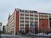
February 2, 2001 817 Washington St.
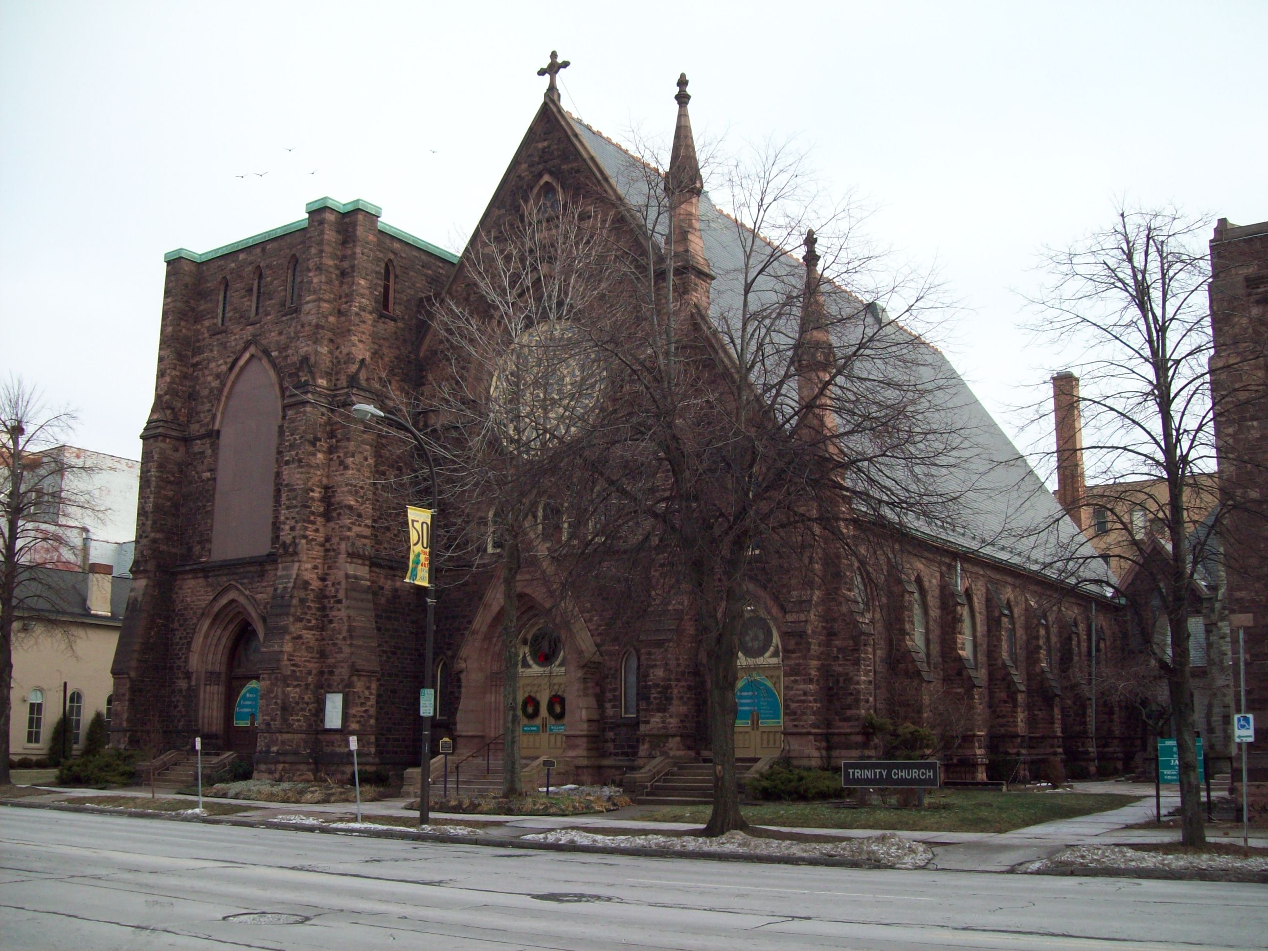
42°53′42″N 78°52′10″W / 42.895°N 78.869444°WDowntown Early and significant example of the "Daylight Factory;" former home to first manufacturer of windshield wipers 86 Trinity Episcopal Church 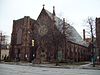
February 28, 2009 371 Delaware Ave.
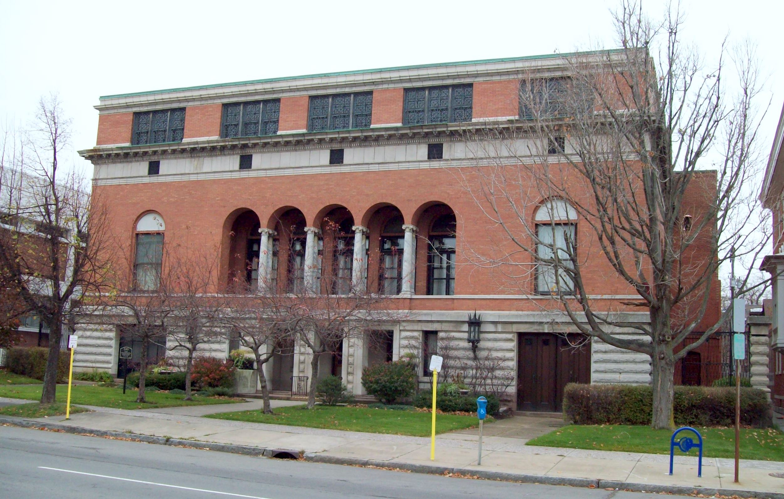
42°53′41″N 78°52′29″W / 42.894722°N 78.874722°WDowntown Main church constructed in 1884-1886 and features stained glass windows designed by John LaFarge and Tiffany studios 87 Twentieth Century Club 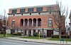
May 11, 2011 595 Delaware Ave.
42°54′01″N 78°52′23″W / 42.900278°N 78.873056°WAllentown First club founded by women, for women, in the U.S. 88 U.S. Post Office 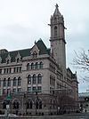
March 16, 1972 121 Ellicott St.
42°52′53″N 78°52′22″W / 42.881389°N 78.872778°WDowntown Former post office built 1897-1901; home to city campus of Erie Community College 89 USS CROAKER (submarine) 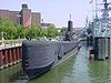
September 12, 2008 1 Naval Park Cove
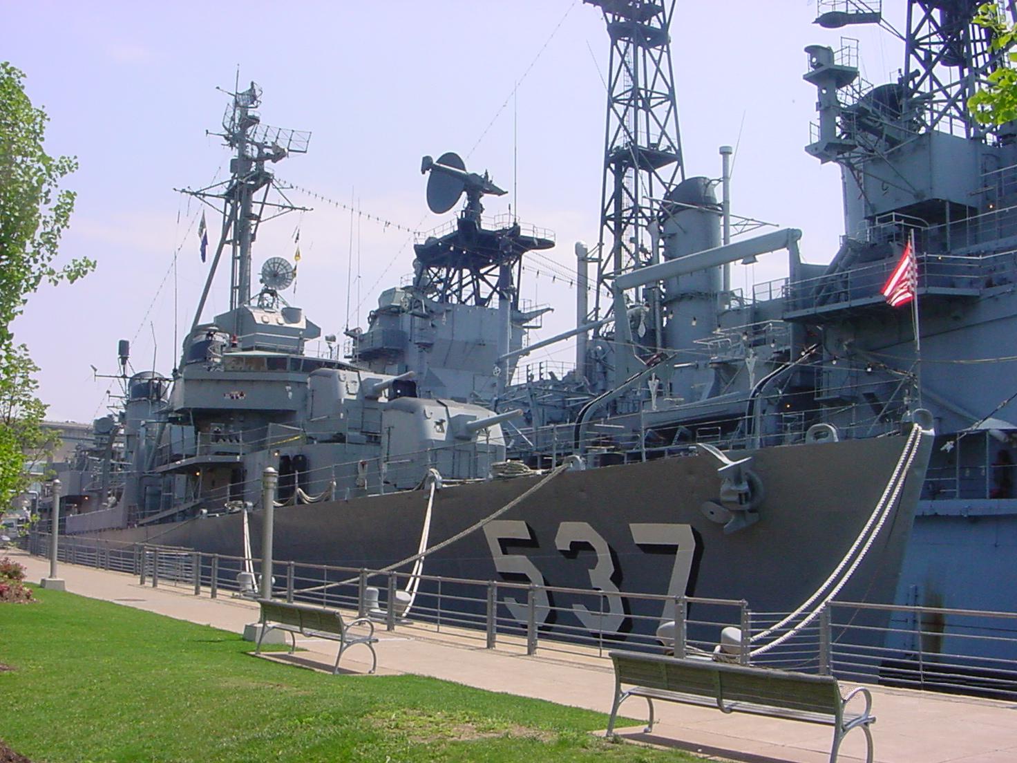
42°52′41″N 78°52′54″W / 42.878056°N 78.881667°WBuffalo Gato class submarine, launched in 1943 90 USS THE SULLIVANS (destroyer) 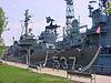
January 14, 1986 1 Naval Park Cove
42°52′40″N 78°52′50″W / 42.877778°N 78.880556°WBuffalo Fletcher class destroyer, launched in 1943 91 University Park Historic District 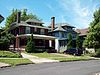
May 11, 2011 Portions of Larchmont Rd., Niagara Falls Blvd., Radcliffe Rd., University Ave., Allenhurst Rd., Pellhan Dr
42°57′24″N 78°49′30″W / 42.956667°N 78.825°WUniversity Heights New listing, from Suburban Development of Buffalo, New York MPS; refnum 11000273 92 West Village Historic District 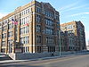
May 6, 1980 Roughly bounded by S. Elmwood Ave., Chippewa, Georgia, Prospect, Carolina and Tracy Sts.
42°53′31″N 78°52′50″W / 42.891944°N 78.880556°WLower West Side District with 102 structures built between 1854 and 1914, most of which are detached single family dwellings, with about a dozen apartment buildings 93 M. Wile and Company Factory Building 
November 22, 2000 77 Goodell St.
42°53′40″N 78°52′07″W / 42.894444°N 78.868611°WDowntown Early example of the "Daylight Factory" built in 1924 94 Wollenberg Grain and Seed Elevator 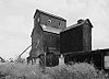
May 19, 2003 131 Goodyear Ave.
42°53′59″N 78°49′18″W / 42.899722°N 78.821667°WBuffalo "Country style" grain elevator built in 1912 and destroyed by fire in 2006 95 Woodlawn Avenue Row 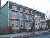
March 19, 1986 75-81 Woodlawn Ave.
42°54′49″N 78°51′44″W / 42.913611°N 78.862222°WBuffalo Speculative frame rowhouses built in 1898 96 Young Men's Christian Association Central Building 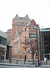
September 8, 1983 45 W. Mohawk St.
42°53′15″N 78°52′33″W / 42.8875°N 78.875833°WDowntown Constructed in 1901-1902 and home to the third oldest YMCA chapter in North America until converted to office use in the early 1980's 97 The Zink Block 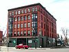
December 7, 2010 346 Connecticut St.
42°54′21″N 78°53′17″W / 42.905833°N 78.888056°WWest Side Formerly listed in the city
Landmark name Image Dates Location City or Town Summary a 17-21 Emerson Place Row delisted 17-21 Emerson Pl.
42°54′47″N 78°51′38″W / 42.91306°N 78.86056°WBuffalo See also
References
- ^ The latitude and longitude information provided in this table was derived originally from the National Register Information System, which has been found to be fairly accurate for about 99% of listings. For about 1% of NRIS original coordinates, experience has shown that one or both coordinates are typos or otherwise extremely far off; some corrections may have been made. A more subtle problem causes many locations to be off by up to 150 yards, depending on location in the country: most NRIS coordinates were derived from tracing out latitude and longitudes off of USGS topographical quadrant maps created under the North American Datum of 1927, which differs from the current, highly accurate WGS84 GPS system used by Google maps. Chicago is about right, but NRIS longitudes in Washington are higher by about 4.5 seconds, and are lower by about 2.0 seconds in Maine. Latitudes differ by about 1.0 second in Florida. Some locations in this table may have been corrected to current GPS standards.
- ^ The D. D. Martin House Complex is listed in addition to the Darwin D. Martin House which it includes, and the Buffalo State Asylum for the Insane is listed here in addition to the Buffalo State Hospital. Both pairings involve a NRHP listing and an NHL designation. The areas may be different and it may be the case that only portions of a larger area was eligible for the National Historic Landmark designation. Further information may show that these separate listings should be combined in this table. Cases where an NRHP listing is revised by a boundary increase or decrease are listed as single entries in this table.
- ^ "National Register of Historic Places: Weekly List Actions". National Park Service, United States Department of the Interior. Retrieved on November 18, 2011.
- ^ Numbers represent an ordering by significant words. Various colorings, defined here, differentiate National Historic Landmark sites and National Register of Historic Places Districts from other NRHP buildings, structures, sites or objects.
Categories:- National Register of Historic Places in New York by county
- Buildings and structures in Buffalo, New York
-


Wikimedia Foundation. 2010.