- National Register of Historic Places listings in Cherokee County, North Carolina
-
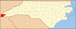
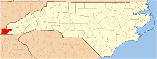
This list includes properties and districts listed on the National Register of Historic Places in Cherokee County, North Carolina. Click the "Map of all coordinates" link to the right to view a Google map of all properties and districts with latitude and longitude coordinates in the table below.[1]
-
- This National Park Service list is complete through NPS recent listings posted November 10, 2011.[2]
Landmark name Image Date listed Location City or Town Summary 1 John C. Campbell Folk School Historic District August 22, 1983 Off US 64
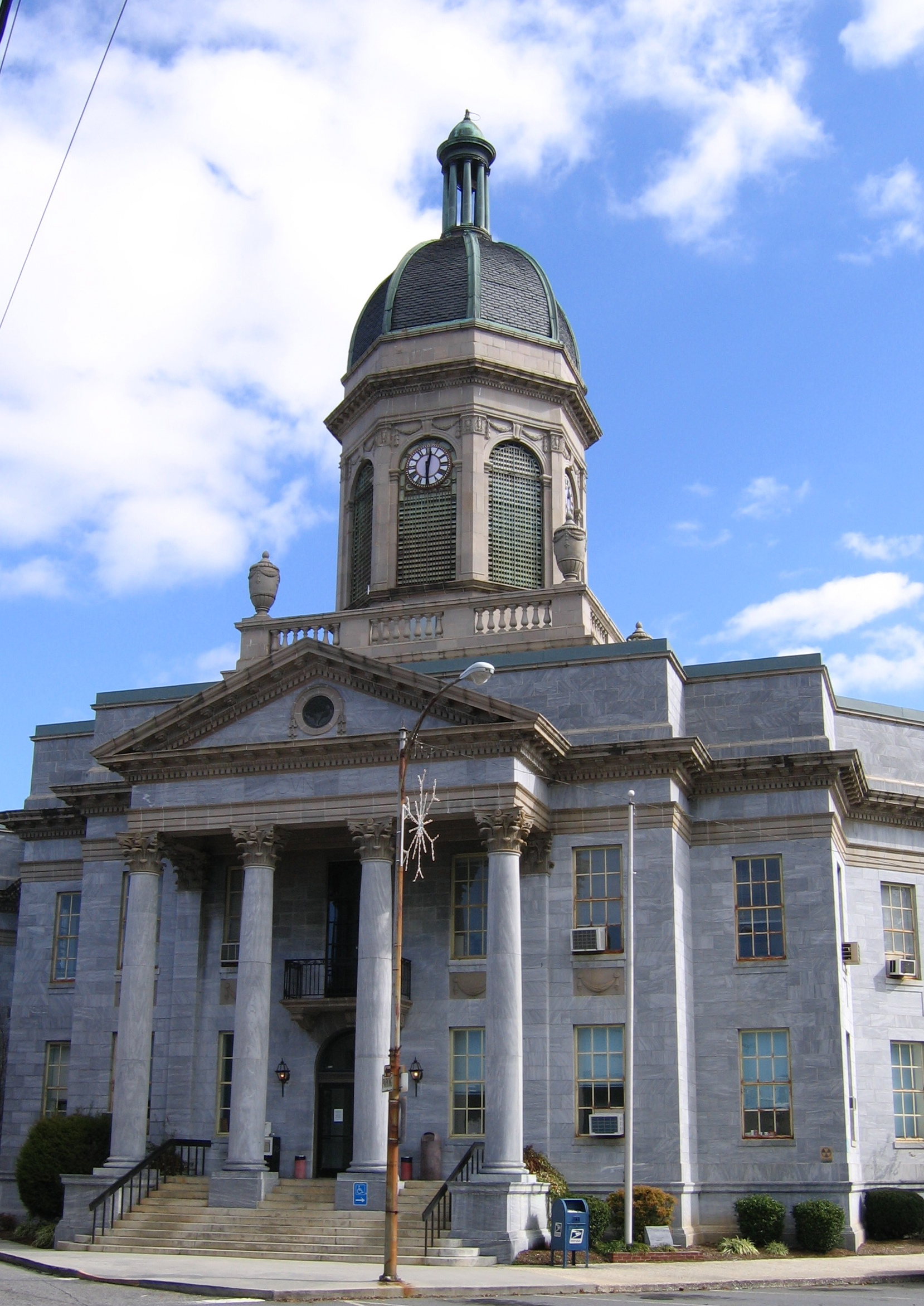
35°2′10″N 83°57′54″W / 35.03611°N 83.965°WBrasstown 2 Cherokee County Courthouse 
May 10, 1979 Peachtree and Central Sts.
35°5′12″N 84°1′59″W / 35.08667°N 84.03306°WMurphy 3 John Franklin Cobb House October 11, 1984 U.S. 19-129
35°0′7″N 84°5′4″W / 35.00194°N 84.08444°WBell View 4 Robert Lafayette Cooper House September 5, 1990 109 Campbell St.
35°5′13″N 84°1′50″W / 35.08694°N 84.03056°WMurphy 5 Franklin Pierce Cover House November 12, 1982 SR 1388
35°12′6″N 83°49′38″W / 35.20167°N 83.82722°WAndrews 6 First Baptist Church September 14, 2002 101 Chestnut St.
35°11′59″N 83°49′31″W / 35.19972°N 83.82528°WAndrews 7 Harshaw Chapel and Cemetery April 5, 1984 Church and Central Sts.
35°5′6″N 84°2′1″W / 35.085°N 84.03361°WMurphy 8 Walker's Inn August 19, 1975 S of Andrews on SR 1505 off SR 1393 and NC 19
35°11′35″N 83°48′16″W / 35.19306°N 83.80444°WAndrews See also
- National Register of Historic Places listings in North Carolina
- List of National Historic Landmarks in North Carolina
References
- ^ The latitude and longitude information provided in this table was derived originally from the National Register Information System, which has been found to be fairly accurate for about 99% of listings. For about 1% of NRIS original coordinates, experience has shown that one or both coordinates are typos or otherwise extremely far off; some corrections may have been made. A more subtle problem causes many locations to be off by up to 150 yards, depending on location in the country: most NRIS coordinates were derived from tracing out latitude and longitudes off of USGS topographical quadrant maps created under the North American Datum of 1927, which differs from the current, highly accurate WGS84 GPS system used by Google maps. Chicago is about right, but NRIS longitudes in Washington are higher by about 4.5 seconds, and are lower by about 2.0 seconds in Maine. Latitudes differ by about 1.0 second in Florida. Some locations in this table may have been corrected to current GPS standards.
- ^ "National Register of Historic Places: Weekly List Actions". National Park Service, United States Department of the Interior. Retrieved on November 10, 2011.
U.S. National Register of Historic Places Topics Lists by states Alabama • Alaska • Arizona • Arkansas • California • Colorado • Connecticut • Delaware • Florida • Georgia • Hawaii • Idaho • Illinois • Indiana • Iowa • Kansas • Kentucky • Louisiana • Maine • Maryland • Massachusetts • Michigan • Minnesota • Mississippi • Missouri • Montana • Nebraska • Nevada • New Hampshire • New Jersey • New Mexico • New York • North Carolina • North Dakota • Ohio • Oklahoma • Oregon • Pennsylvania • Rhode Island • South Carolina • South Dakota • Tennessee • Texas • Utah • Vermont • Virginia • Washington • West Virginia • Wisconsin • WyomingLists by territories Lists by associated states Other Municipalities and communities of Cherokee County, North Carolina Towns 
Unincorporated
communitiesCategories:- Cherokee County, North Carolina
- National Register of Historic Places in North Carolina
- Buildings and structures in Cherokee County, North Carolina
-
Wikimedia Foundation. 2010.