- National Register of Historic Places listings in Dayton, Ohio
-
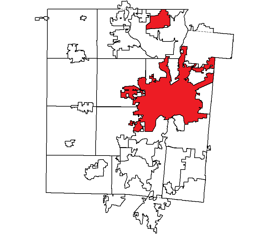
 Location of Dayton in Montgomery County
This is a list of the National Register of Historic Places listings in Dayton, Ohio.
This is intended to be a complete list of the properties and districts on the National Register of Historic Places in Dayton, Ohio, United States. The locations of National Register properties and districts for which the latitude and longitude coordinates are included below, may be seen in a Google map.[1]
There are 140 properties and districts listed on the National Register in Montgomery County, including 6 National Historic Landmarks. The city of Dayton is the location of 99 of these properties and districts, including 4 National Historic Landmarks; they are listed here, while the remaining properties and districts are listed separately.
-
- This National Park Service list is complete through NPS recent listings posted October 28, 2011.[2]
Current listings
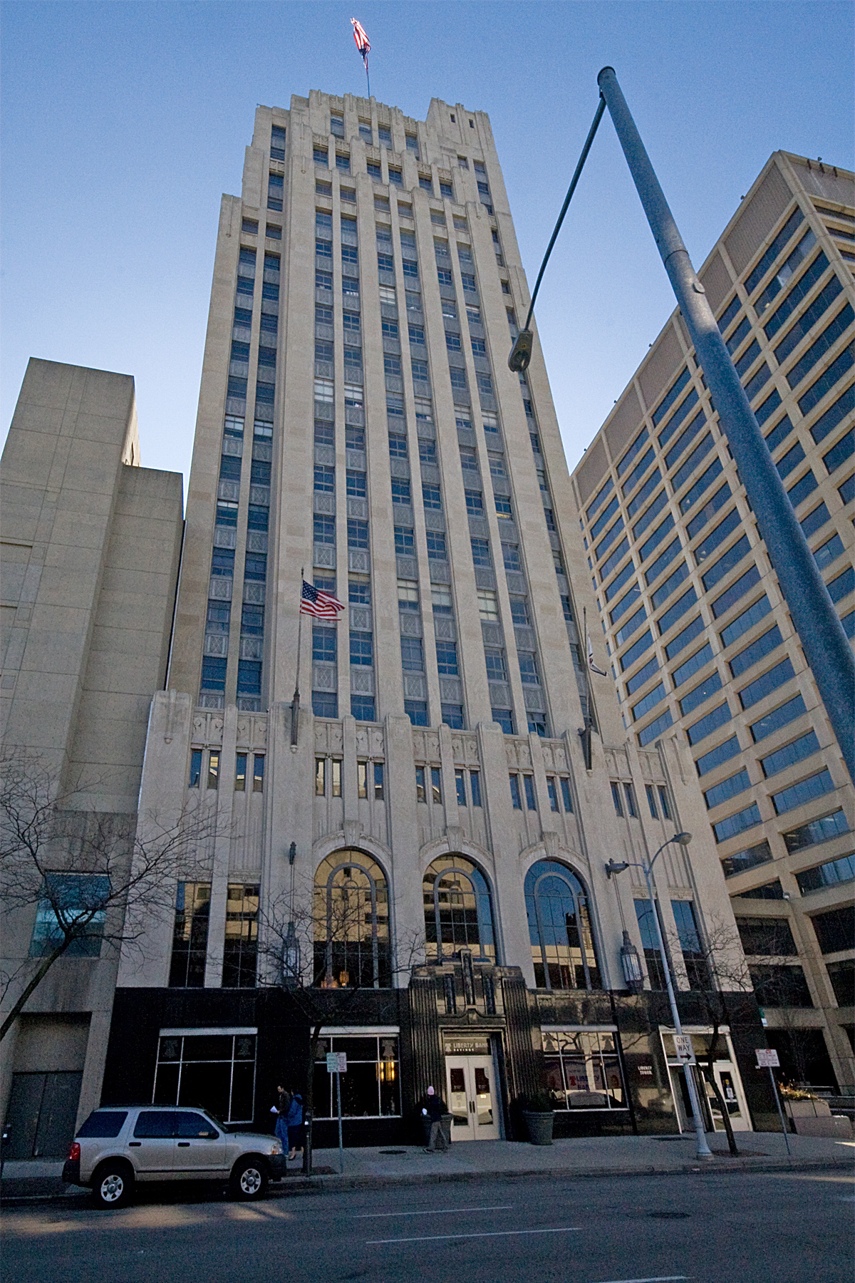
[3] Landmark name[4] Image Date listed Location Summary 1 Biltmore Hotel 
February 3, 1982 210 N. Main St.
39°45′46″N 84°11′32″W / 39.76278°N 84.19222°W2 Marcus Bossler House September 27, 1980 136 S. Dutoit St.
39°45′44″N 84°10′25″W / 39.76222°N 84.17361°W3 James Brooks House 
May 29, 1975 41 E. 1st St.
39°45′45″N 84°11′29″W / 39.7625°N 84.19139°W4 Samuel N. Brown House 
April 11, 1977 1633 Wayne Ave.
39°44′42″N 84°10′12″W / 39.745°N 84.17°W5 Jonah Bull House December 19, 2008 2233 Wayne Ave.
39°44′21.5″N 84°9′47″W / 39.739306°N 84.16306°W6 Central Avenue Historic District December 16, 1982 201-338 Central Ave.
39°46′2″N 84°12′27″W / 39.76722°N 84.2075°W7 Central Branch, National Home for Disabled Volunteer Soldiers 
January 15, 2004 4100 W. 3rd St.
39°44′35″N 84°15′39″W / 39.74306°N 84.26083°W8 Classic Theater February 10, 1975 815 W. 5th St.
39°45′12″N 84°12′30″W / 39.75333°N 84.20833°W9 Commercial Building 
December 2, 1982 44 S. Ludlow St.
39°45′29″N 84°11′36″W / 39.75806°N 84.19333°W10 Conover Building 
October 14, 1975 4 S. Main St.
39°45′33″N 84°11′29″W / 39.75917°N 84.19139°W11 Dayton Arcade 
June 18, 1975 From Ludlow to Main St. between 3rd and 4th Sts.
39°45′30″N 84°11′33″W / 39.75833°N 84.1925°W12 Dayton Art Institute 
November 19, 1974 Forest and Riverview Aves.
39°45′57″N 84°12′4″W / 39.76583°N 84.20111°W13 Dayton Aviation Heritage National Historical Park 
September 8, 1988 16 South Williams Street
39°45′20.78″N 84°12′42.29″W / 39.7557722°N 84.2117472°W14 Dayton Canoe Club July 2, 2008 1020 Riverside Dr.
39°46′32.08″N 84°11′47.86″W / 39.7755778°N 84.1966278°W15 Dayton Daily News Building 
November 30, 1978 4th and Ludlow Sts.
39°45′28″N 84°11′37″W / 39.75778°N 84.19361°W16 Dayton Fire Department Station No. 16 May 23, 1980 31 S. Jersey St.
39°45′53″N 84°9′11″W / 39.76472°N 84.15306°W17 Dayton Fire Station No. 14 
September 27, 1980 1422 N. Main St.
39°46′38″N 84°12′9″W / 39.77722°N 84.2025°W18 Dayton Motor Car Company Historic District May 31, 1984 15, 101, 123-5 Bainbridge; 9-111 and 122-124 McDonough
39°45′34″N 84°10′50″W / 39.75944°N 84.18056°W19 Dayton Power and Light Building Group April 12, 2006 601, 607-609, 613-645 E. 3rd St.
39°45′40″N 84°10′57″W / 39.76111°N 84.1825°W20 Dayton Stove and Cornice Works 
November 26, 1980 24-28 N. Patterson Boulevard
39°45′39″N 84°11′12″W / 39.76083°N 84.18667°W21 Dayton Terra-Cotta Historic District 
May 31, 1984 S. Ludlow and W. 5th Sts.
39°45′23″N 84°11′32″W / 39.75639°N 84.19222°W22 Dayton View Historic District July 19, 1984 Roughly bounded by Broadway, Harvard Boulevard, and Superior and Salem Aves.
39°46′4″N 84°12′59″W / 39.76778°N 84.21639°W23 Dayton Women's Club 
February 24, 1975 225 N. Ludlow St.
39°45′46″N 84°11′42″W / 39.76278°N 84.195°W24 Dayton Young Men's Christian Association Building 
August 25, 1988 117 W. Monument Ave.
39°45′49″N 84°11′45″W / 39.76361°N 84.19583°W25 Deeds Carillon 
July 27, 2005 1000 Carillon Boulevard
39°43′51″N 84°11′51″W / 39.73083°N 84.1975°W26 Dunbar Historic District 
June 30, 1980 N. Summit St.
39°45′23″N 84°13′8″W / 39.75639°N 84.21889°W27 Paul Laurence Dunbar House 
October 15, 1966 219 N. Summit St.
39°45′20″N 84°13′8″W / 39.75556°N 84.21889°W28 Duncarrick June 30, 1983 Webster and Keowee Sts.
39°46′44″N 84°11′3″W / 39.77889°N 84.18417°W29 Eagles Building 
November 4, 1982 320 S. Main St.
39°45′17″N 84°11′24″W / 39.75472°N 84.19°W30 East Second Street District 
March 7, 1979 3-27 E. 2nd St.
39°45′40″N 84°11′30″W / 39.76111°N 84.19167°W31 East Third Street Historic District 
February 2, 2001 424-520 East 3rd St. (southern side only)
39°45′37″N 84°11′8″W / 39.76028°N 84.18556°W32 Engineers Club of Dayton 
October 17, 2007 110 E. Monument Ave.
39°45′49″N 84°11′27″W / 39.76361°N 84.19083°W33 Exposition Hall, Montgomery County Fairgrounds December 10, 2003 Montgomery County Fairgrounds, 1043 S. Main St.
39°44′38″N 84°11′20″W / 39.74389°N 84.18889°W34 Fire Blocks Historic District 
October 15, 1992 Roughly bounded by Jefferson, 4th, St. Clair, and 2nd Sts.
39°45′30″N 84°11′20″W / 39.75833°N 84.18889°W35 First Lutheran Church 
March 29, 1983 138 W. 1st St.
39°45′41″N 84°11′45″W / 39.76139°N 84.19583°W36 Philip E. Gilbert Houses August 3, 1979 1012 Huffman Ave. and 18-30 Belpre Pl.
39°45′27″N 84°9′5″W / 39.7575°N 84.15139°W37 Oscar M. Gottschall House April 11, 1977 20 Livingston Ave.
39°45′27″N 84°8′54″W / 39.7575°N 84.14833°W38 Grafton-Rockwood Historic District March 22, 2010 Parts of Grafton, Homewood, Rockwood Ave, Oaks Ave, Old Orchard Ave.
39°46′24.05″N 84°12′23.08″W / 39.7733472°N 84.2064111°W39 Graphic Arts Building 
November 12, 2009 221-223 S. Ludlow St.
39°45′21.08″N 84°11′34.86″W / 39.7558556°N 84.1930167°W40 Gummer House February 17, 1978 1428 Huffman Ave.
39°45′26″N 84°8′35″W / 39.75722°N 84.14306°W41 Hanitch-Huffman House 
March 29, 1982 139 W. Monument Ave.
39°45′47″N 84°11′46″W / 39.76306°N 84.19611°W42 Holy Cross Lithuanian Roman Catholic Church November 5, 1991 1924 Leo St.
39°46′53″N 84°10′4″W / 39.78139°N 84.16778°W43 Huffman Historic District August 24, 1982 Roughly bounded by E. 3rd, Hamilton, Van Lear, and Beckel Sts.
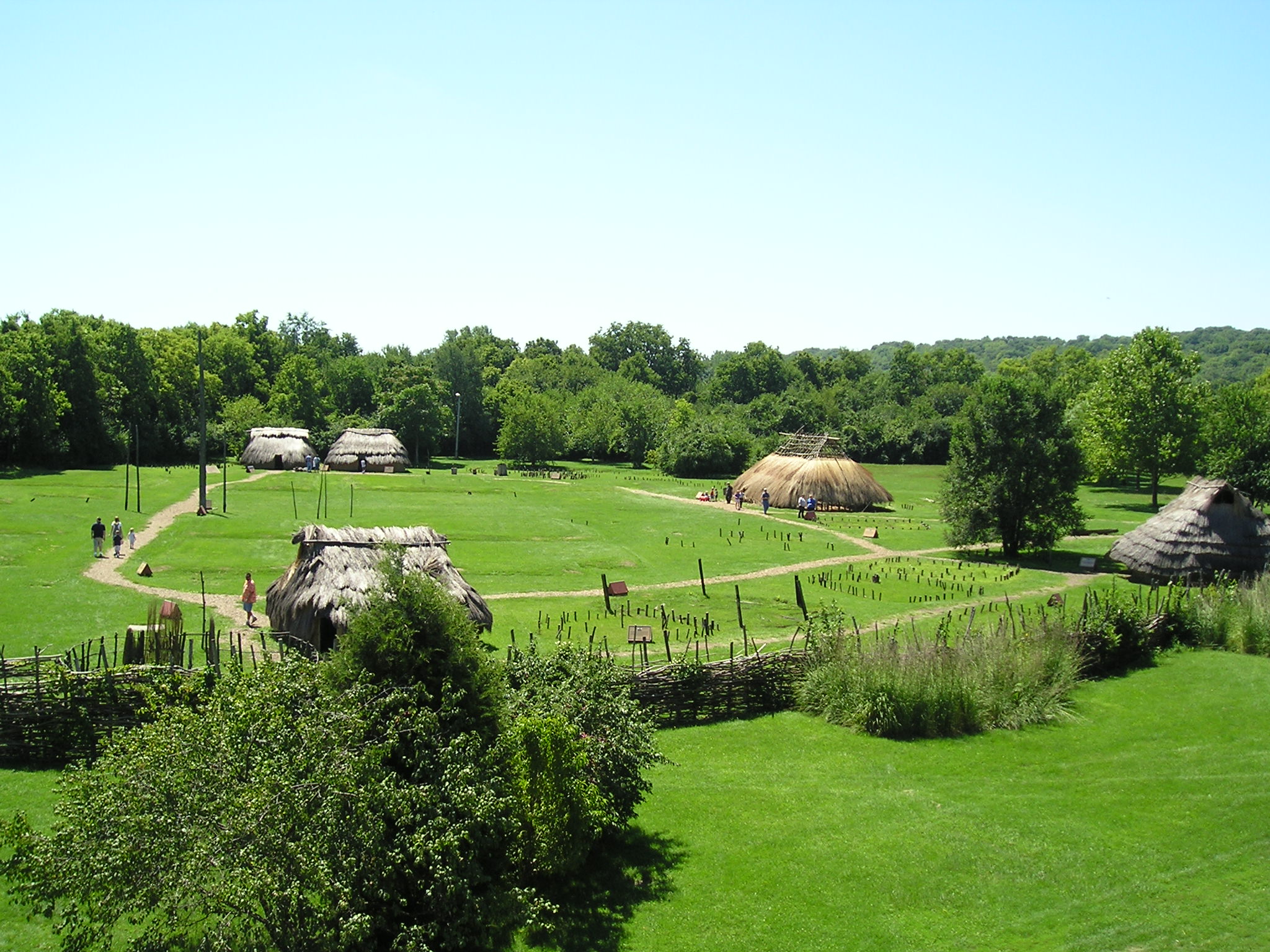
39°45′41″N 84°9′59″W / 39.76139°N 84.16639°W44 Incinerator Site 
April 1, 1975 2301 W. River Rd.
39°42′47.664″N 84°13′55.524″W / 39.71324°N 84.23209°W[5]Also known as SunWatch Indian Village 45 Independent Order of Oddfellows, Dayton Lodge No. 273 October 25, 1984 8 LaBelle St.
39°45′30″N 84°11′4″W / 39.75833°N 84.18444°W46 Insco Apartments Building 
February 18, 1994 255 N. Main St.
39°45′48″N 84°11′37″W / 39.76333°N 84.19361°W47 Jacob O. Joyce House November 25, 1983 6 Josie St.
39°45′21″N 84°10′33″W / 39.75583°N 84.17583°W48 Julienne Girls Catholic High School January 8, 2009 325 Homewood Ave.
39°46′34.248″N 84°12′17.208″W / 39.77618°N 84.20478°W49 Kelly Family Home 
June 30, 1975 657 S. Main St.
39°44′58″N 84°11′21″W / 39.74944°N 84.18917°W50 Lewis Kemp House January 23, 1975 4800 Burkhardt Ave.
39°45′29″N 84°7′33″W / 39.75806°N 84.12583°W51 Kenilworth Avenue Historic District August 9, 2006 1131-1203 Salem Ave., 701-761 Kenilworth
39°46′33″N 84°12′58″W / 39.77583°N 84.21611°W52 Kossuth Colony Historic District December 21, 1979 Baltimore St., Mack and Notre Dame Aves.
39°47′0″N 84°10′17″W / 39.783333°N 84.17139°W53 Benjamin F. Kuhns Building 
April 24, 1978 43 S. Main St.
39°45′29″N 84°11′31″W / 39.75806°N 84.19194°W54 Lafee Building 
November 25, 1980 22 E. 3rd St.
39°45′33.5″N 84°11′28″W / 39.759306°N 84.19111°W55 Lichliter Mound and Village Site June 4, 1973 Fields on the northern side of an intermittent stream, 1 mile (1.6 km) above Wolf Creek and 6 miles (9.7 km) above the Great Miami River
39°46′46″N 84°17′8″W / 39.77944°N 84.28556°W[6]56 Lindsey Building 
March 14, 1985 25 S. Main St.
39°45′31″N 84°11′31″W / 39.75861°N 84.19194°W57 McCormick Manufacturing Company Building 
February 2, 2001 434-438 E. 1st St.
39°45′48″N 84°11′3″W / 39.76333°N 84.18417°W58 McPherson Town Historic District 
September 29, 1988 Roughly bounded by Main St., the Great Miami River, and Interstate 75
39°46′3″N 84°11′46″W / 39.7675°N 84.19611°W59 Memorial Hall 
July 14, 1988 125 E. 1st St.
39°45′51″N 84°11′23″W / 39.76417°N 84.18972°W60 Daniel Miller House May 29, 1975 3525 Dandridge Ave.
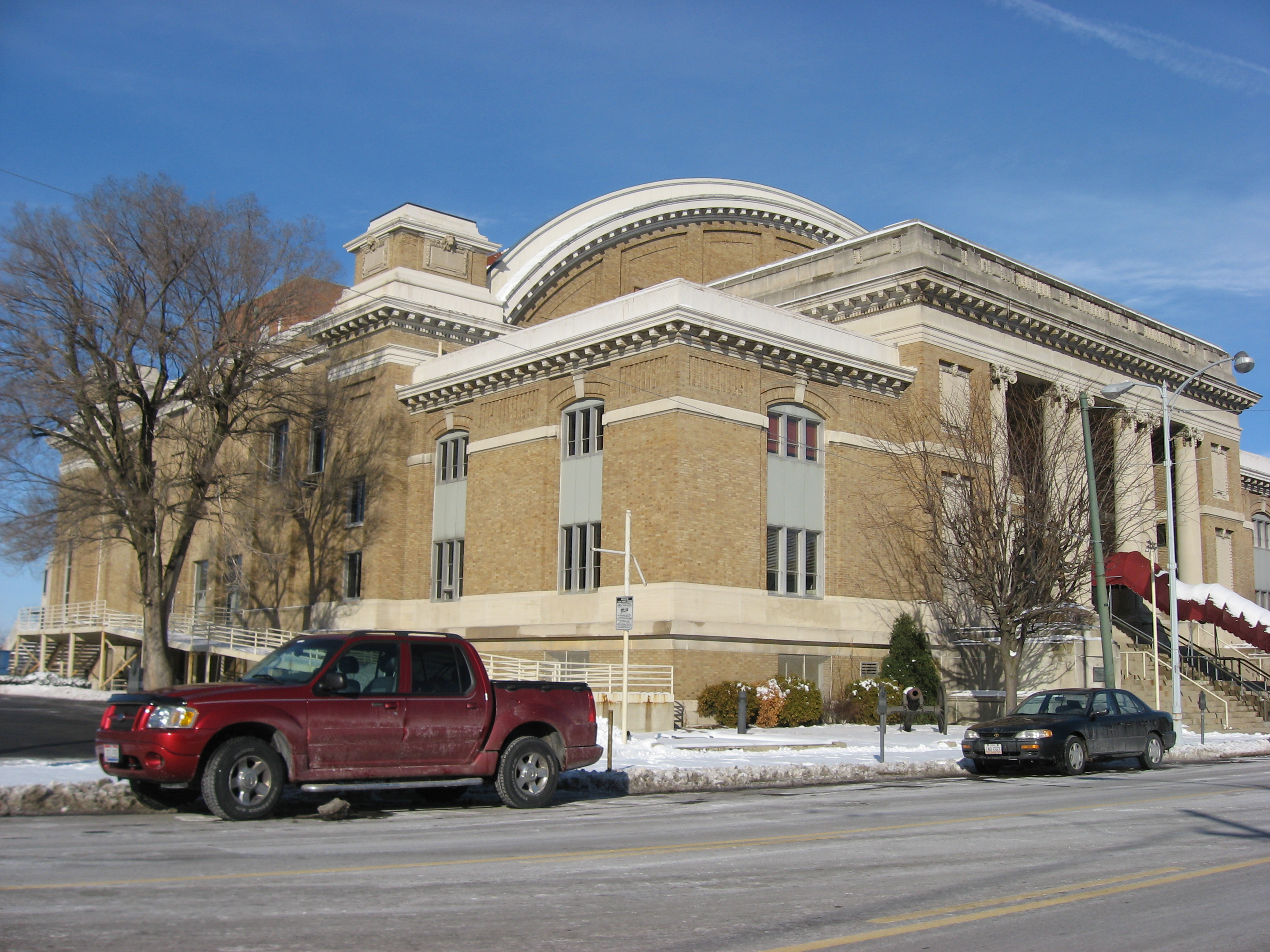
39°45′59″N 84°14′48″W / 39.76639°N 84.24667°W61 Montgomery County Courthouse 
January 26, 1970 Northwestern corner of 3rd and Main Sts.
39°45′33″N 84°11′33″W / 39.75917°N 84.1925°W62 Jacob H.W. Mumma House May 29, 1980 2239 Kipling Dr.
39°47′24″N 84°14′36″W / 39.79°N 84.24333°W63 Mutual Home & Savings Association Building 
December 16, 1982 120 W. 2nd St.
39°45′37″N 84°11′43″W / 39.76028°N 84.19528°W64 Newcom House July 21, 1980 53 Sherman St.
39°45′23″N 84°9′49″W / 39.75639°N 84.16361°W65 Nicholas Ohmer House October 16, 1974 1350 Creighton St.
39°44′26″N 84°9′14″W / 39.74056°N 84.15389°W66 Old Post Office And Federal Building 
March 10, 1975 Southeastern corner of W. 3rd and Wilkinson Sts.
39°45′30″N 84°11′41″W / 39.75833°N 84.19472°W67 Oregon Historic District March 27, 1975 Between Patterson Boulevard and Wayne Ave., north to Gates St. and south to U.S. Route 35
39°45′19″N 84°11′4″W / 39.75528°N 84.18444°W68 Isaac Pollack House 
December 16, 1974 319 W. 3rd St.
39°45′47″N 84°12′30″W / 39.76306°N 84.20833°W69 Rudolph Pretzinger House 
August 24, 1979 908 S. Main St
39°44′45″N 84°11′16″W / 39.74583°N 84.18778°W70 Red Oak-William C. Sherman House September 8, 2000 1231 Hook Estates Dr.
39°47′39″N 84°14′1″W / 39.79417°N 84.23361°W71 John R. Reynolds House November 21, 1976 24 Klee St.
39°45′27″N 84°8′58″W / 39.7575°N 84.14944°W72 Rubicon Farm 
September 29, 1976 1815 Brown St.
39°44′4″N 84°10′56″W / 39.73444°N 84.18222°W73 Sachs and Pruden Ale Company Building 
August 12, 1991 127 Wyandot St.
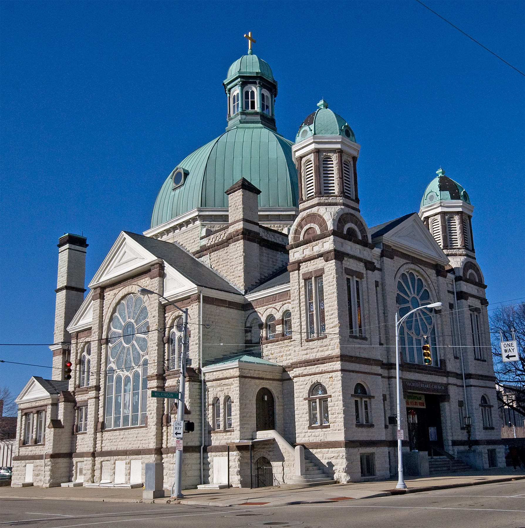
39°45′30″N 84°11′15″W / 39.75833°N 84.1875°W74 Sacred Heart Church 
October 22, 1987 217 W. 4th St.
39°45′27″N 84°11′43″W / 39.7575°N 84.19528°W75 St. Adalbert Polish Catholic Church November 7, 1991 1511 Valley St.
39°47′1″N 84°9′22″W / 39.78361°N 84.15611°W76 Saint Anne's Hill Historic District June 5, 1986 Roughly bounded by 4th, McClure, Josie, High, and Dutoit Sts.
39°45′24″N 84°10′23″W / 39.75667°N 84.17306°W77 St. Mary Roman Catholic Church April 21, 1983 543 Xenia Ave.
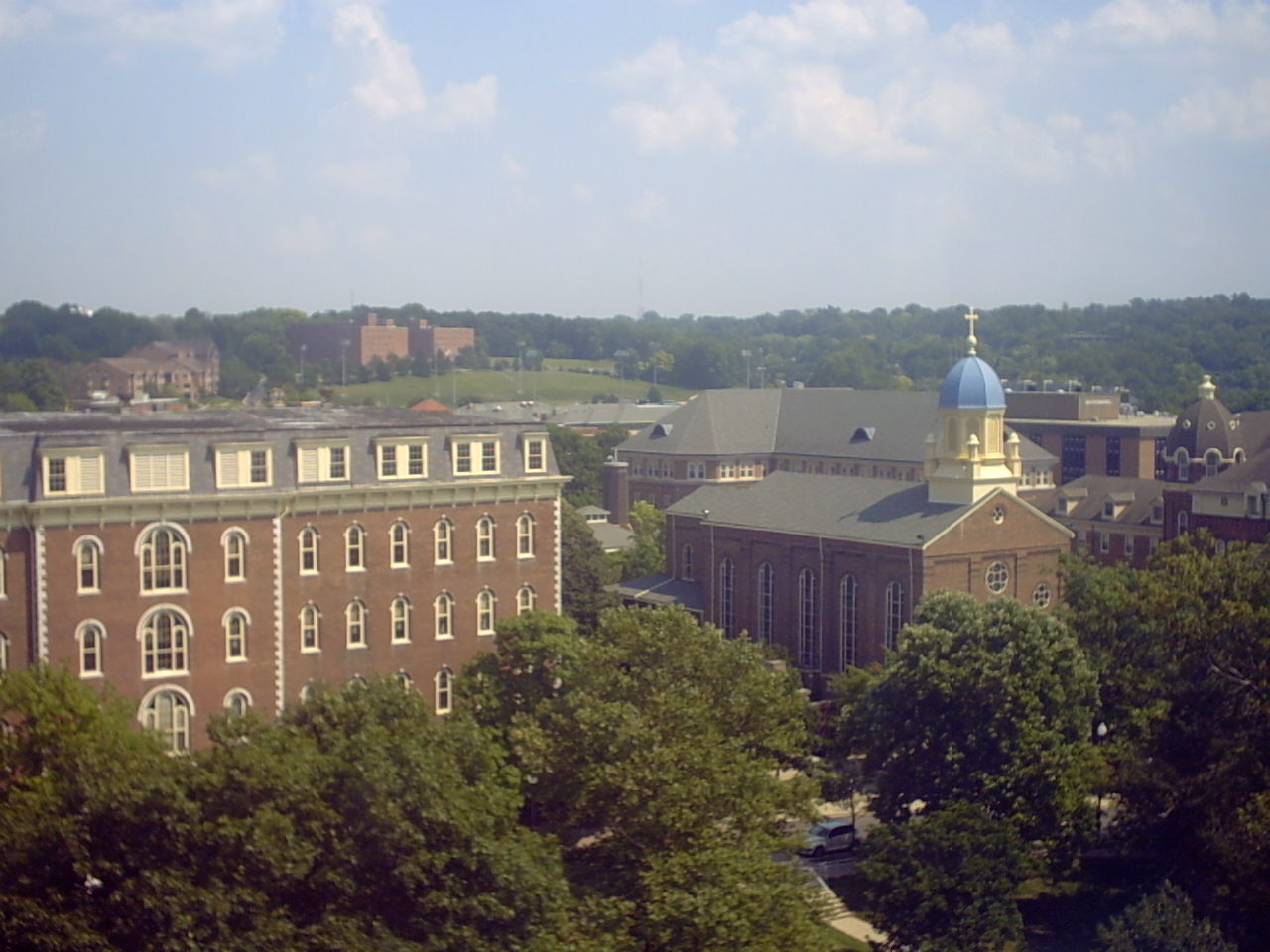
39°45′10″N 84°10′4″W / 39.75278°N 84.16778°W78 St. Mary's Hall, University of Dayton 
May 25, 1973 300 College Park
39°44′22″N 84°10′41″W / 39.73944°N 84.17806°W79 Hyman Schriber Building May 26, 1988 306-308 Washington St.
39°45′5″N 84°11′43″W / 39.75139°N 84.19528°W80 Shawen Acres 
October 9, 1991 3304 N. Main St.
39°47′47″N 84°12′53″W / 39.79639°N 84.21472°W81 Sig's General Store August 12, 1991 1400 Valley St.
39°46′54″N 84°9′30″W / 39.78167°N 84.15833°W82 Edwin Smith House 
August 13, 1974 131 W. 3rd St.
39°45′32″N 84°11′42″W / 39.75889°N 84.195°W83 South Park Historic District August 23, 1984 Roughly bounded by Park, Morton, Hickory, and Wayne Ave.; also roughly bounded by Wayne, Wyoming, Nathan, Oak, Alberta and Blaine
39°44′56″N 84°10′43″W / 39.74889°N 84.17861°WSecond set of boundaries represents a boundary increase 84 Southern Ohio Lunatic Asylum 
November 15, 1979 2335 Wayne Ave.
39°44′16″N 84°9′40″W / 39.73778°N 84.16111°W85 Squirrel-Forrest Historic District October 14, 2010 North of Homewood Ave. and along the west side of Forest Ave.
39°46′27″N 84°12′8″W / 39.77417°N 84.20222°W86 Steele's Hill-Grafton Hill Historic District 
June 5, 1986 Roughly bounded by Grand, Plymouth, Forest, and Salem
39°45′59″N 84°12′15″W / 39.76639°N 84.20417°W87 John S. Stengel House 
April 21, 1983 325 W. 2nd St.
39°45′37″N 84°11′52″W / 39.76028°N 84.19778°W88 Stivers High School 
August 17, 2001 1313 E. 5th St.
39°45′31.2″N 84°10′32″W / 39.758667°N 84.17556°W89 Traxler Mansion 
April 24, 1979 42 Yale Ave.
39°46′14″N 84°12′54″W / 39.77056°N 84.215°W90 Unit III, Dayton Project June 7, 2006 1601 W. 1st St.
39°45′25″N 84°13′19″W / 39.75694°N 84.22194°W91 United Brethren Publishing House 
December 10, 1993 40-46 S. Main St. (7-21 E. 4th St.)
39°45′30″N 84°11′29″W / 39.75833°N 84.19139°W92 Victory Theater Building 
June 22, 1972 138 N. Main St.
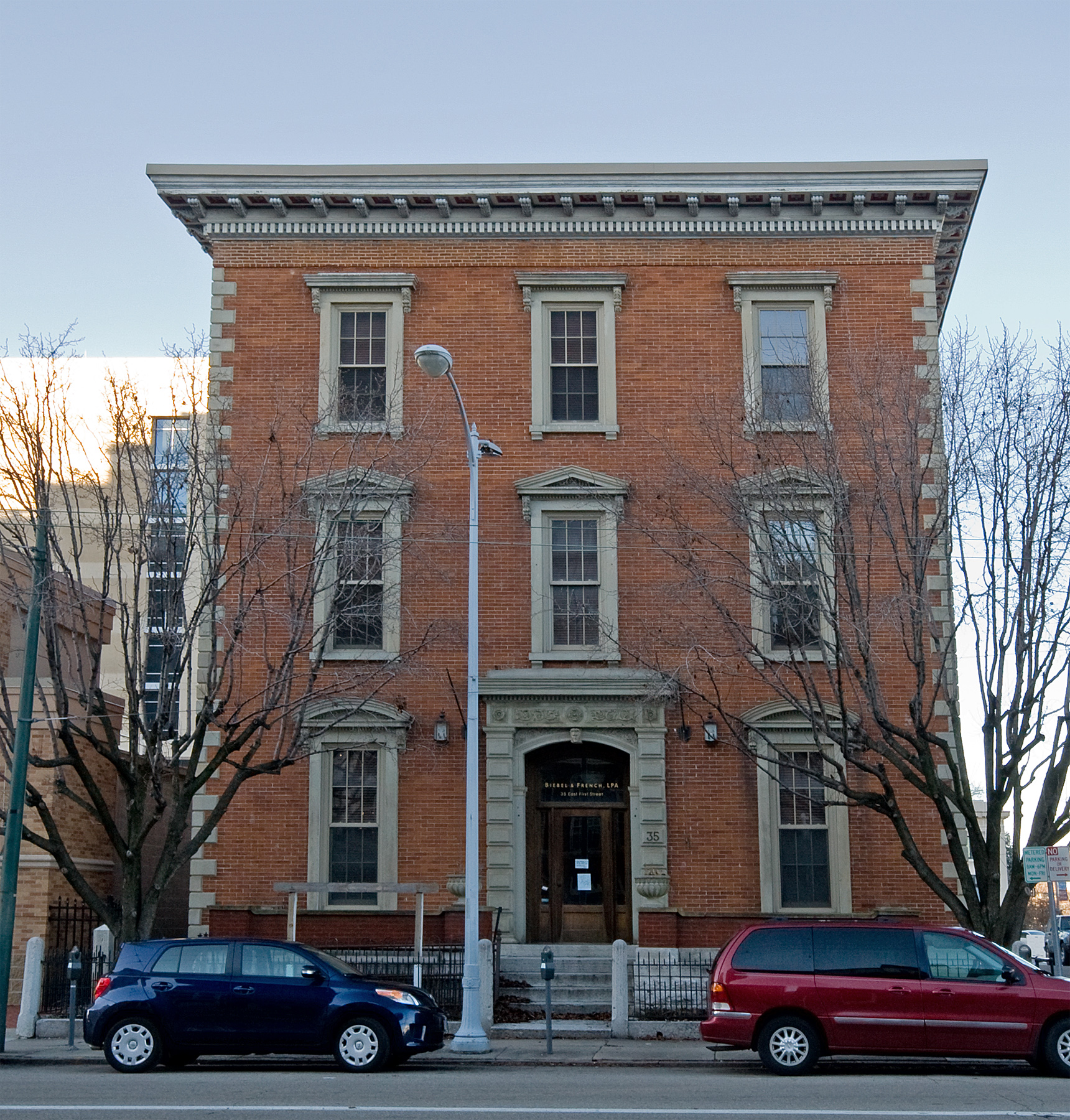
39°45′42″N 84°11′32″W / 39.76167°N 84.19222°W93 Dr. Jefferson A. Walters House 
November 20, 1974 35 E. 1st St.
39°45′45.9″N 84°11′28.7″W / 39.76275°N 84.191306°W94 West Third Street Historic District January 25, 1989 Roughly W. 3rd St. between Broadway and Shannon St.
39°45′21″N 84°12′43″W / 39.75583°N 84.21194°W95 Westbrock Funeral Home 
March 10, 1988 1712 Wayne Ave.
39°44′41″N 84°10′6″W / 39.74472°N 84.16833°W96 Women's Christian Association May 13, 1976 800 W. 5th St.
39°45′11″N 84°12′28″W / 39.75306°N 84.20778°WRazed in November 2007 97 Woodland Cemetery Gateway, Chapel and Office 
November 30, 1978 118 Woodland Ave.
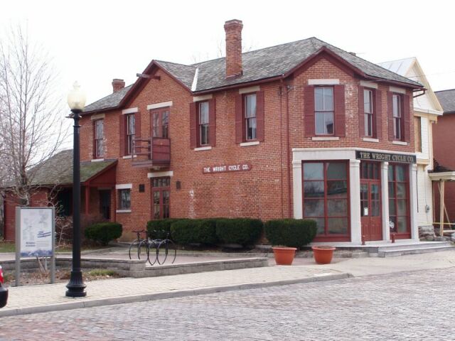
39°44′34″N 84°10′45″W / 39.74278°N 84.17917°W98 Wright Cycle Company-Wright and Wright Printing Offices 
February 13, 1986 22 S. Williams St.
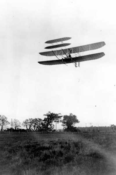
39°45′13″N 84°12′43″W / 39.75361°N 84.21194°W99 Wright Flyer III 
June 21, 1990 Carillon Park, 2001 S. Patterson Boulevard
39°43′40″N 84°12′7″W / 39.72778°N 84.20194°WSee also
References
- ^ The latitude and longitude information provided in this table was derived originally from the National Register Information System, which has been found to be fairly accurate for about 99% of listings. For about 1% of NRIS original coordinates, experience has shown that one or both coordinates are typos or otherwise extremely far off; some corrections may have been made. A more subtle problem causes many locations to be off by up to 150 yards, depending on location in the country: most NRIS coordinates were derived from tracing out latitude and longitudes off of USGS topographical quadrant maps created under North American Datum of 1927, which differs from the current, highly accurate GPS system used by Google maps. Chicago is about right, but NRIS longitudes in Washington are higher by about 4.5 seconds, and are lower by about 2.0 seconds in Maine. Latitudes differ by about 1.0 second in Florida. Some locations in this table may have been corrected to current GPS standards.
- ^ "National Register of Historic Places: Weekly List Actions". National Park Service, United States Department of the Interior. Retrieved on October 28, 2011.
- ^ Numbers represent an ordering by significant words. Various colorings, defined here, differentiate National Historic Landmark sites and National Register of Historic Places Districts from other NRHP buildings, structures, sites or objects.
- ^ "National Register Information System". National Register of Historic Places. National Park Service. 2008-04-24. http://nrhp.focus.nps.gov/natreg/docs/All_Data.html.
- ^ Location derived from this SunWatch website; the NRIS lists it as "Address Restricted"
- ^ Location derived from Allman, John C. "A New Late Woodland Culture for Ohio: The Lichliter Village Site Near Dayton". Ohio Archaeologist 7.2 (1957): 59. The NRIS lists the site as "Address Restricted".
Categories:- National Register of Historic Places in Ohio
- History of Dayton, Ohio
- Dayton-related lists
-


Wikimedia Foundation. 2010.