There are 47 properties and districts listed on the National Register in the county, including 1 National Historic Landmark.
| [3] |
Landmark name[4] |
Image |
Date listed |
Location |
City or Town |
Summary |
| 1 |
Simeon Alexander, Jr., House |
|
01991-05-28 May 28, 1991 |
Millers Falls Rd. south of Pine Meadow Rd.
42°38′16″N 72°28′8″W / 42.63778°N 72.46889°W / 42.63778; -72.46889 (Alexander, Simeon, Jr. House) |
Northfield |
|
| 2 |
Alvah Stone Mill |
 |
01997-06-30 June 30, 1997 |
440 Greenfield Rd.
42°32′16″N 72°32′20″W / 42.53778°N 72.53889°W / 42.53778; -72.53889 (Alvah Stone Mill) |
Montague |
Now the Bookmill. |
| 3 |
Ashfield Plain Historic District |
 |
01991-09-20 September 20, 1991 |
Roughly along Main and South Sts. and adjacent parts of Buckland and Norton Hill Rds.
42°31′37″N 72°47′17″W / 42.52694°N 72.78806°W / 42.52694; -72.78806 (Ashfield Plain Historic District) |
Ashfield |
|
| 4 |
Bardwell's Ferry Bridge |
 |
02000-02-10 February 10, 2000 |
Bardwell's Ferry Rd. over the Deerfield River
42°33′20″N 72°40′41″W / 42.55556°N 72.67806°W / 42.55556; -72.67806 (Bardwell's Ferry Bridge) |
Conway |
|
| 5 |
Bernardston Congregational Unitarian Church |
 |
01993-03-18 March 18, 1993 |
Junction of Church and Depot Sts.
42°40′14″N 72°33′0″W / 42.67056°N 72.55°W / 42.67056; -72.55 (Bernardston Congregational Unitarian Church) |
Bernardston |
|
| 6 |
Bissell Bridge |
|
02004-02-26 February 26, 2004 |
Heath Rd., MA 8A over Mill Brook
42°37′57″N 72°52′10″W / 42.6325°N 72.86944°W / 42.6325; -72.86944 (Bissell Bridge) |
Charlemont |
|
| 7 |
Burkeville Covered Bridge |
 |
01988-09-09 September 9, 1988 |
Main Poland Rd. over the South River
42°29′1″N 72°42′44″W / 42.48361°N 72.71222°W / 42.48361; -72.71222 (Burkeville Covered Bridge) |
Conway |
|
| 8 |
Charlemont Village Historic District |
 |
01988-02-10 February 10, 1988 |
MA 2 (Main St.) between South and Harmont Sts.
42°37′40″N 72°52′27″W / 42.62778°N 72.87417°W / 42.62778; -72.87417 (Charlemont Village Historic District) |
Charlemont |
|
| 9 |
Colrain Center Historic District |
 |
02006-11-15 November 15, 2006 |
Main, Greenfield, and Jacksonville Rds., Streeter Ln., and River and Coburn Sts.
42°40′24″N 72°41′52″W / 42.67333°N 72.69778°W / 42.67333; -72.69778 (Colrain Center Historic District) |
Colrain |
|
| 10 |
Conway Center Historic District |
 |
01999-09-10 September 10, 1999 |
5-38 Academy Hill Rd., 1-59 Elm St., and 8-98 Main St.
42°30′31″N 72°41′50″W / 42.50861°N 72.69722°W / 42.50861; -72.69722 (Conway Center Historic District) |
Conway |
|
| 11 |
Dedic Site |
|
01980-07-16 July 16, 1980 |
Address Restricted |
South Deerfield |
|
| 12 |
Deerfield Valley Agricultural Society Fairgrounds |
|
02011-05-11 May 11, 2011 |
Park St.
42°37′51″N 72°52′3″W / 42.63083°N 72.8675°W / 42.63083; -72.8675 (Deerfield Valley Agricultural Society Fairgrounds) |
Charlemont |
|
| 13 |
East Hawley Center Historic District |
 |
01992-07-24 July 24, 1992 |
East Hawley, Plainfield, Buckland, and Ashfield Rds.
42°33′48″N 72°52′43″W / 42.56333°N 72.87861°W / 42.56333; -72.87861 (East Hawley Center Historic District) |
Hawley |
|
| 14 |
East Main-High Street Historic District |
|
01989-03-16 March 16, 1989 |
Roughly bounded by Church, High, E. Main, and Franklin Sts.
42°35′20″N 72°35′49″W / 42.58889°N 72.59694°W / 42.58889; -72.59694 (East Main--High Street Historic District) |
Greenfield |
|
| 15 |
Franklin County Fairgrounds |
|
02011-06-15 June 15, 2011 |
89 Wisdom Way
42°34′44″N 72°36′42″W / 42.57889°N 72.61167°W / 42.57889; -72.61167 (Franklin County Fairgrounds) |
Greenfield |
|
| 16 |
Garden Theater Block |
|
01983-09-01 September 1, 1983 |
353-367 Main St.
42°35′15″N 72°36′1″W / 42.5875°N 72.60028°W / 42.5875; -72.60028 (Garden Theater Block) |
Greenfield |
|
| 17 |
Maj. Joseph Griswold House |
|
01972-02-23 February 23, 1972 |
Upper St.
42°35′24″N 72°47′30″W / 42.59°N 72.79167°W / 42.59; -72.79167 (Griswold, Maj. Joseph, House) |
Buckland |
|
| 18 |
Heath Center Historic District |
 |
02007-10-25 October 25, 2007 |
E. and W. Main Sts., 12 and 23 Avery Brook, 8 Taylor Brook, 1-51 Bray, Colrain Stage, 3-16 Ledges, and 15-48 South Rds.
42°40′24.97″N 72°49′19″W / 42.6736028°N 72.82194°W / 42.6736028; -72.82194 (Heath Center Historic District) |
Heath |
|
| 19 |
Hill Cemetery and Parson Hubbard House Historic District |
|
02006-08-23 August 23, 2006 |
Old Village Rd., 72 Old Village Rd.
42°35′54″N 72°41′16″W / 42.59833°N 72.68778°W / 42.59833; -72.68778 (Hill Cemetery and Parson Hubbard House Historic District) |
Shelburne |
|
| 20 |
King Philip's Hill |
 |
01981-12-16 December 16, 1981 |
Old Bernardston Road
42°41′2″N 72°28′35″W / 42.68389°N 72.47639°W / 42.68389; -72.47639 (King Philip's Hill) |
Northfield |
|
| 21 |
Leavitt-Hovey House |
 |
01983-12-22 December 22, 1983 |
402 Main St.
42°35′17″N 72°35′58″W / 42.58806°N 72.59944°W / 42.58806; -72.59944 (Leavitt-Hovey House) |
Greenfield |
|
| 22 |
Leverett Center Historic District |
 |
02008-12-05 December 5, 2008 |
Amherst, Montague, Depot, and Shutesbury Rds.
42°27′4.63″N 72°30′6.22″W / 42.4512861°N 72.5017278°W / 42.4512861; -72.5017278 (Leverett Center Historic District) |
Leverett |
|
| 23 |
Main Street Historic District |
 |
01988-10-13 October 13, 1988 |
Main St. between Chapman and Hope Sts., also along Bank Row
42°35′13″N 72°36′5″W / 42.58694°N 72.60139°W / 42.58694; -72.60139 (Main Street Historic District) |
Greenfield |
|
| 24 |
Montague Center Historic District |
 |
02001-11-16 November 16, 2001 |
Center, Main, North, School, and Union Sts.
42°32′6″N 72°32′5″W / 42.535°N 72.53472°W / 42.535; -72.53472 (Montague Center Historic District) |
Montague |
|
| 25 |
New Salem Common Historic District |
 |
01978-04-12 April 12, 1978 |
S. Main St.
42°29′55″N 72°19′54″W / 42.49861°N 72.33167°W / 42.49861; -72.33167 (New Salem Common Historic District) |
New Salem |
|
| 26 |
Newton Street School |
|
01988-10-27 October 27, 1988 |
Shelburne Rd.
42°35′8″N 72°36′52″W / 42.58556°N 72.61444°W / 42.58556; -72.61444 (Newton Street School) |
Greenfield |
|
| 27 |
Northfield Center Cemetery |
|
02004-11-13 November 13, 2004 |
Western terminus of Parker Ave.
42°41′41″N 72°27′40″W / 42.69472°N 72.46111°W / 42.69472; -72.46111 (Northfield Center Cemetery) |
Northfield |
|
| 28 |
Northfield Main Street Historic District |
 |
01982-07-08 July 8, 1982 |
Full length of Main St. from Millers Brook to Pauchaug Brook
42°41′50″N 72°27′16″W / 42.69722°N 72.45444°W / 42.69722; -72.45444 (Northfield Main Street Historic District) |
Northfield |
|
| 29 |
Odd Fellows' Hall |
 |
01979-05-10 May 10, 1979 |
1-5 State St.
42°36′14″N 72°44′23″W / 42.60389°N 72.73972°W / 42.60389; -72.73972 (Odd Fellows' Hall) |
Buckland |
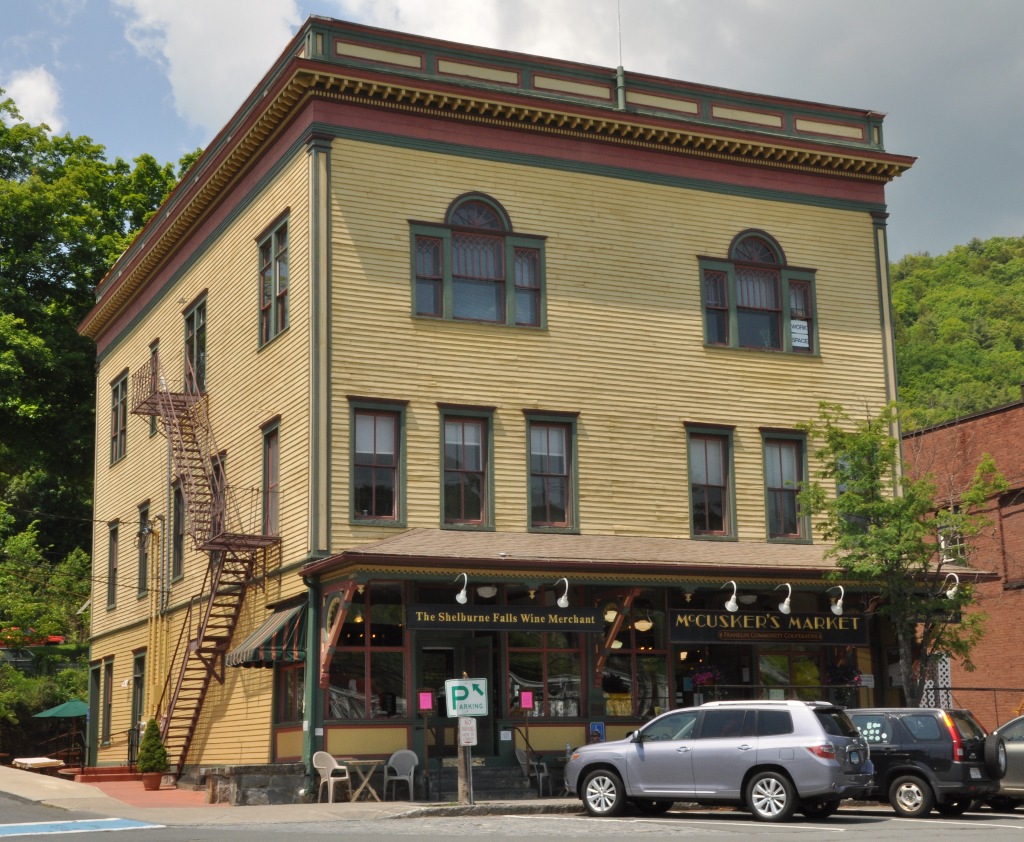
In Shelburne Falls village of Buckland. |
| 30 |
Old Deerfield Village Historic District |
 |
01966-10-15 October 15, 1966 |
West of U.S. Route 5, bounded by Mill Village Rd., "The Street", Broughton's Pond Rd., and Pogues Hole Rd.
42°33′4″N 72°36′30″W / 42.55111°N 72.60833°W / 42.55111; -72.60833 (Old Deerfield Village Historic District) |
Deerfield |
|
| 31 |
Orange Center Historic District |
 |
01989-04-27 April 27, 1989 |
Roughly N. and S. Main St. from Prospect St. to River St.
42°35′24″N 72°18′39″W / 42.59°N 72.31083°W / 42.59; -72.31083 (Orange Center Historic District) |
Orange |
|
| 32 |
Pine Street School |
|
02002-03-13 March 13, 2002 |
13 Pine St.
42°42′32″N 72°26′50″W / 42.70889°N 72.44722°W / 42.70889; -72.44722 (Pine Street School) |
Northfield |
|
| 33 |
Powers Institute Historic District |
 |
01994-03-18 March 18, 1994 |
Church St. between South and Library Sts.
42°40′16″N 72°33′12″W / 42.67111°N 72.55333°W / 42.67111; -72.55333 (Powers Institute Historic District) |
Bernardston |
|
| 34 |
Riverside Archeological District |
|
01975-07-09 July 9, 1975 |
Address Restricted |
Greenfield |
|
| 35 |
Shelburne Falls Historic District |
 |
01988-01-28 January 28, 1988 |
Bridge and State Sts.
42°36′11″N 72°44′25″W / 42.60306°N 72.74028°W / 42.60306; -72.74028 (Shelburne Falls Historic District) |
Buckland and Shelburne |
Boundary Increase 2010 (listed April 7, 2010): Roughly bounded by Deerfield River, Bridge St., Massachusetts Route 2 and Arms Cemetery |
| 36 |
Arthur A. Smith Covered Bridge |
 |
01983-02-03 February 3, 1983 |
West of Colrain on Lyonsville Rd.
42°40′12″N 72°43′9″W / 42.67°N 72.71917°W / 42.67; -72.71917 (Smith, Arthur A., Covered Bridge) |
Colrain |
|
| 37 |
South School |
|
02007-12-26 December 26, 2007 |
6 Schoolhouse Rd.
42°25′11″N 72°26′0″W / 42.41972°N 72.433333°W / 42.41972; -72.433333 (South School) |
Shutesbury |
|
| 38 |
Sunderland Center Historic District |
 |
02002-03-15 March 15, 2002 |
Roughly along S. Main St.from Old Amherst Rd. to French's Ferry Rd.
42°27′59.03″N 72°34′46.44″W / 42.4663972°N 72.5795667°W / 42.4663972; -72.5795667 (Sunderland Center Historic District) |
Sunderland |
|
| 39 |
Old Tavern Farm |
|
02005-03-10 March 10, 2005 |
817 Colrain Rd.
42°37′20″N 72°38′9″W / 42.62222°N 72.63583°W / 42.62222; -72.63583 (Tavern Farm, Old) |
Greenfield |
|
| 40 |
Turners Falls Historic District |
|
01982-05-02 May 2, 1982 |
Roughly bounded by the Connecticut River, Power Canal, and 9th and L Sts.
42°36′30″N 72°33′23″W / 42.60833°N 72.55639°W / 42.60833; -72.55639 (Turner Falls Historic District) |
Turners Falls |
|
| 41 |
US Post Office-Greenfield Main |
|
01985-12-20 December 20, 1985 |
442 Main St.
42°35′15″N 72°35′53″W / 42.5875°N 72.59806°W / 42.5875; -72.59806 (US Post Office--Greenfield Main) |
Greenfield |
|
| 42 |
Weldon Hotel |
 |
01980-08-06 August 6, 1980 |
54 High St.
42°35′26″N 72°35′44″W / 42.59056°N 72.59556°W / 42.59056; -72.59556 (Weldon Hotel) |
Greenfield |
|
| 43 |
Wendell Town Common Historic District |
 |
01992-05-21 May 21, 1992 |
Junction of Depot, Lock's Village, Montague and Morse Village Rds.
42°32′55″N 72°23′51″W / 42.54861°N 72.3975°W / 42.54861; -72.3975 (Wendell Town Common Historic District) |
Wendell |
|
| 44 |
West Whately Historic District |
 |
02003-10-10 October 10, 2003 |
Address Restricted
42°26′18.024″N 72°40′55.128″W / 42.43834°N 72.68198°W / 42.43834; -72.68198 (West Whately Historic District)[5] |
Whately |
|
| 45 |
Whately Center Historic District |
 |
02003-09-11 September 11, 2003 |
155-215 Chestnut Plain Rd. and 330-348 Haydenville Rd.
42°26′18″N 72°38′9″W / 42.43833°N 72.63583°W / 42.43833; -72.63583 (Whately Center Historic District) |
Whately |
|
| 46 |
Whitaker-Clary House |
|
01975-06-18 June 18, 1975 |
Elm St.
42°32′26″N 72°18′58″W / 42.54056°N 72.31611°W / 42.54056; -72.31611 (Whitaker-Clary House) |
New Salem |
|
| 47 |
The Wilder Homestead |
 |
02011-01-24 January 24, 2011 |
Ashfield Rd.
42°35′59″N 72°46′44″W / 42.59972°N 72.77889°W / 42.59972; -72.77889 (Wilder, Homestead, The) |
Buckland |
About 1/4 mile south of the Upper Road/Ashfield Road junction. |
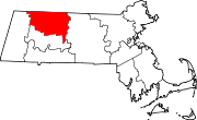
 Location of Franklin County in Massachusetts