- National Register of Historic Places listings in Fredericksburg, Virginia
-
This list includes properties and districts listed on the National Register of Historic Places in the independent city of Fredericksburg, Virginia. Click the "Map of all coordinates" link to the right to view a Google map of all properties and districts with latitude and longitude coordinates in the table below.[1]
-
- This National Park Service list is complete through NPS recent listings posted November 10, 2011.[2]
[3] Landmark name [4] Image Date listed Location City or town Summary 1 Braehead May 11, 2000 123 Lee Dr.
38°16′51″N 77°28′23″W / 38.280833°N 77.473056°WFredericksburg Also known as Howison House; played a significant role in U.S. Civil War battle plans during the Fredericksburg campaigns of 1862–1864[5] 2 Brompton 
July 24, 1979 Hanover St. and Sunken Rd.
38°17′44″N 77°28′13″W / 38.295556°N 77.470278°WFredericksburg Residence of the President of the University of Mary Washington; headquarters of Confederate General James Longstreet during the Battle of Fredericksburg (1862–1863)[6] 3 Carl's 
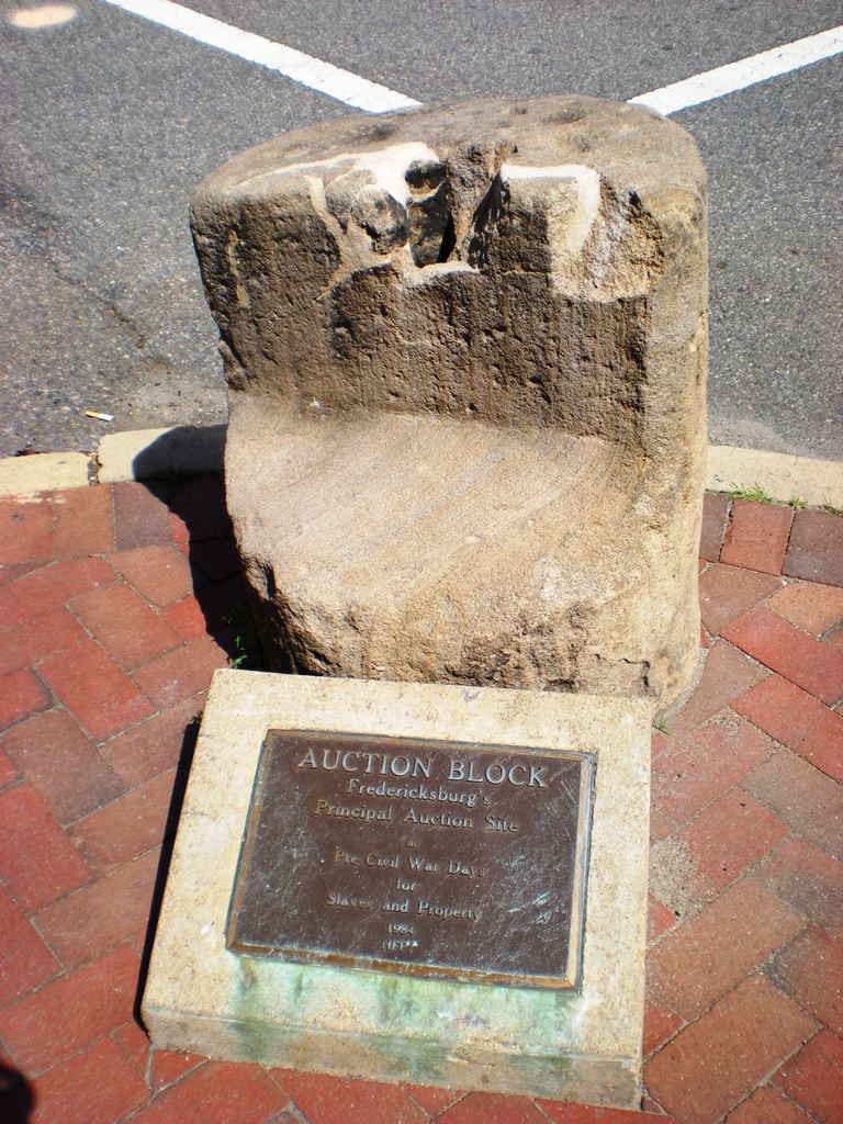
June 30, 2005 2200 Princess Anne St.
38°18′49″N 77°28′08″W / 38.3137°N 77.46875°WFredericksburg Art Moderne-style ice cream stand built in 1953; also known as Carl's Custard Stand[7] 4 The Chimneys April 3, 1975 623 Caroline St.
38°18′01″N 77°27′28″W / 38.300278°N 77.457778°WFredericksburg 5 Elmhurst March 27, 2008 2010 Fall Hill Ave.
38°18′45″N 77°28′22″W / 38.3125°N 77.472778°WFredericksburg 6 Farmers Bank of Fredericksburg August 11, 1983 900 Princess Anne St.
38°18′08″N 77°27′40″W / 38.302222°N 77.461111°WFredericksburg 7 Federal Hill March 26, 1975 S side of Hanover St. between Jackson and Prince Edward Sts.
38°17′59″N 77°27′45″W / 38.299722°N 77.4625°WFredericksburg 8 Fredericksburg and Spotsylvania County Battlefields Memorial National Military Park 
October 15, 1966 Fredericksburg and W and SW areas in Spotsylvania County
38°14′18″N 77°33′5″W / 38.23833°N 77.55139°WFredericksburg 9 Fredericksburg Gun Manufactory Site November 14, 1978 Address Restricted Fredericksburg 10 Fredericksburg Historic District 
September 22, 1971 Roughly bounded by Rappahannock River, Hazel Run, Prince Edward and Canal Sts.
38°18′00″N 77°28′13″W / 38.3°N 77.470278°WFredericksburg 11 Fredericksburg Town Hall and Market Square July 22, 1994 907 Princess Anne St.
38°18′11″N 77°27′37″W / 38.303056°N 77.460278°WFredericksburg 12 Idlewild June 8, 2009 1501 Gateway Blvd. Fredericksburg 13 Kenmore 
June 4, 1969 1201 Washington Ave.
38°17′42″N 77°27′59″W / 38.295°N 77.466389°WFredericksburg 14 Matthew Fontaine Maury School March 7, 2007 900 Barton School
38°18′09″N 77°27′54″W / 38.3025°N 77.465°WFredericksburg 15 Monroe Law Office 
November 13, 1966 908 Charles St.
38°18′07″N 77°27′42″W / 38.301944°N 77.461667°WFredericksburg 16 Presbyterian Church of Fredericksburg March 1, 1984 SW of Princess Anne and George Sts.
38°18′06″N 77°27′38″W / 38.301667°N 77.460556°WFredericksburg 17 Rising Sun Tavern 
October 15, 1966 1306 Caroline St.
38°18′24″N 77°27′45″W / 38.306667°N 77.4625°WFredericksburg 18 Rowe House November 12, 2008 801 Hanover St.
38°17′54″N 77°27′58″W / 38.298433°N 77.465975°WFredericksburg 19 Sentry Box 
February 26, 1992 133 Caroline St.
38°17′43″N 77°27′15″W / 38.295278°N 77.454167°WFredericksburg 20 Walker-Grant School October 30, 1998 Gunnery Rd., bet. Dunmore and Ferdinand Sts.
38°17′35″N 77°27′29″W / 38.293056°N 77.458056°WFredericksburg 21 Washington Avenue Historic District May 16, 2002 1200-1500 blks of Washington Ave., and 620 Lewis St.
38°18′24″N 77°28′05″W / 38.306667°N 77.468056°WFredericksburg 22 Mary Washington House 
June 5, 1975 1200 Charles St.
38°18′17″N 77°27′49″W / 38.304722°N 77.463611°WFredericksburg See also
- National Register of Historic Places listings in Virginia
- National Register of Historic Places listings in Caroline County, Virginia
- National Register of Historic Places listings in Spotsylvania County, Virginia
- National Register of Historic Places listings in Stafford County, Virginia
- National Register of Historic Places listings in Westmoreland County, Virginia
- List of National Historic Landmarks in Virginia
References
- ^ The latitude and longitude information provided in this table was derived originally from the National Register Information System, which has been found to be fairly accurate for about 99% of listings. For about 1% of NRIS original coordinates, experience has shown that one or both coordinates are typos or otherwise extremely far off; some corrections may have been made. A more subtle problem causes many locations to be off by up to 150 yards, depending on location in the country: most NRIS coordinates were derived from tracing out latitude and longitudes off of USGS topographical quadrant maps created under North American Datum of 1927, which differs from the current, highly accurate GPS system used by Google maps. Chicago is about right, but NRIS longitudes in Washington are higher by about 4.5 seconds, and are lower by about 2.0 seconds in Maine. Latitudes differ by about 1.0 second in Florida. Some locations in this table may have been corrected to current GPS standards.
- ^ "National Register of Historic Places: Weekly List Actions". National Park Service, United States Department of the Interior. Retrieved on November 10, 2011.
- ^ Numbers represent an ordering by significant words. Various colorings, defined here, differentiate National Historic Landmark sites and National Register of Historic Places Districts from other NRHP buildings, structures, sites or objects.
- ^ "National Register Information System". National Register of Historic Places. National Park Service. . http://nrhp.focus.nps.gov/natreg/docs/All_Data.html.
- ^ "National Register of Historic Places Registration Form: Braehead". Virginia Department of Historic Resources. http://www.dhr.virginia.gov/registers/Cities/Fredericksburg/111-0306_Braehead_2000_Final_Nomination.pdf. Retrieved January 21, 2009.
- ^ "National Register of Historic Places Registration Form: Brompton". Virginia Department of Historic Resources. http://www.dhr.virginia.gov/registers/Cities/Fredericksburg/111-0008_Brompton_1979_Final_Nomination.pdf. Retrieved January 21, 2009.
- ^ "National Register of Historic Places Registration Form: Carl's". Virginia Department of Historic Resources. http://www.dhr.virginia.gov/registers/Cities/Fredericksburg/111-5007_Carls_2005_Final_Nomination.pdf. Retrieved January 21, 2009.
U.S. National Register of Historic Places Topics Lists by states Alabama • Alaska • Arizona • Arkansas • California • Colorado • Connecticut • Delaware • Florida • Georgia • Hawaii • Idaho • Illinois • Indiana • Iowa • Kansas • Kentucky • Louisiana • Maine • Maryland • Massachusetts • Michigan • Minnesota • Mississippi • Missouri • Montana • Nebraska • Nevada • New Hampshire • New Jersey • New Mexico • New York • North Carolina • North Dakota • Ohio • Oklahoma • Oregon • Pennsylvania • Rhode Island • South Carolina • South Dakota • Tennessee • Texas • Utah • Vermont • Virginia • Washington • West Virginia • Wisconsin • WyomingLists by territories Lists by associated states Other  Category:National Register of Historic Places •
  Portal:National Register of Historic PlacesCategories:
- Fredericksburg, Virginia
- National Register of Historic Places in Virginia
- Virginia-related lists
-


Wikimedia Foundation. 2010.