- National Register of Historic Places listings in Georgetown County, South Carolina
-
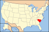
 Location of Georgetown County in South Carolina
This is a list of the National Register of Historic Places listings in Georgetown County, South Carolina.
This is intended to be a complete list of the properties and districts on the National Register of Historic Places in Georgetown County, South Carolina, United States. The locations of National Register properties and districts for which the latitude and longitude coordinates are included below, may be seen in a Google map.[1]
There are 37 properties and districts listed on the National Register in the county, including 3 National Historic Landmarks. One of the National Historic Landmarks, Atalaya and Brookgreen Gardens, is composed of two parts that are listed on the Register separately. Another property was once listed but has been removed.
-
- This National Park Service list is complete through NPS recent listings posted November 10, 2011.[2]
Current listings
[3] Landmark name[4] Image Date listed Location City or Town Summary 1 All Saints' Episcopal Church, Waccamaw March 13, 1991 South Carolina Highway 255 0.2 miles north of its junction with South Carolina Highway 46
33°28′3″N 79°8′24″W / 33.4675°N 79.14°WPawleys Island 2 Annandale Plantation October 25, 1973 About 14 miles south of Georgetown between South Carolina Highways 18 and 30
33°13′1″N 79°18′10″W / 33.21694°N 79.30278°WGeorgetown 3 Arcadia Plantation January 3, 1978 5 miles (8 km) east of Georgetown off U.S. Route 17
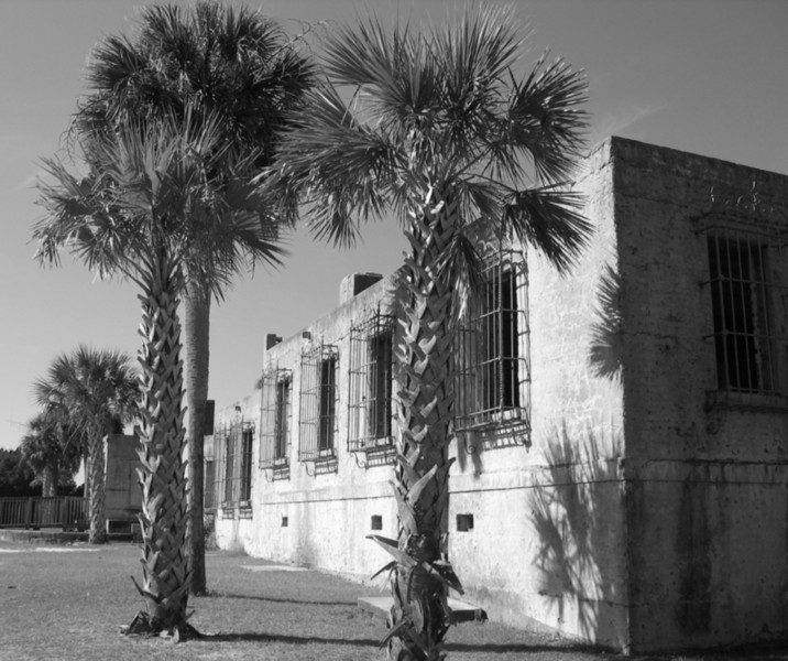
33°23′1″N 79°13′25″W / 33.38361°N 79.22361°WGeorgetown 4 Atalaya 
September 7, 1984 Off U.S. Route 17
33°30′50″N 79°5′7″W / 33.51389°N 79.08528°WMurrells Inlet 5 Battery White 
November 16, 1977 South of Georgetown on Belle Isle Rd.
33°18′13″N 79°17′46″W / 33.30361°N 79.29611°WGeorgetown 6 Belle Isle Rice Mill Chimney October 3, 1988 Cat Island
33°12′2″N 79°15′30″W / 33.20056°N 79.25833°WGeorgetown 7 Beneventum Plantation House 
October 3, 1988 Off County Road 431
33°26′43″N 79°15′39″W / 33.44528°N 79.26083°WGeorgetown 8 Black River Plantation House March 2, 1994 Southwestern side of South Carolina Highway 51, 0.5 miles northwest of Peters Creek
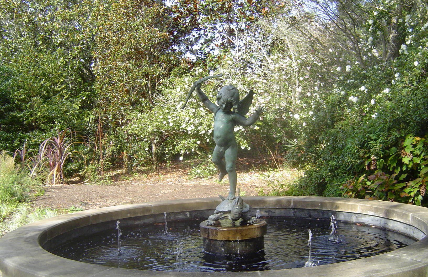
33°30′37″N 79°18′1″W / 33.51028°N 79.30028°WGeorgetown 9 Brookgreen Gardens 
April 15, 1978 18 miles (28.8 km) northeast of Georgetown on U.S. Route 17
33°31′14″N 79°5′59″W / 33.52056°N 79.09972°WGeorgetown 10 Cedar Grove Plantation Chapel March 13, 1991 South Carolina Highway 255, 0.2 miles north of its junction with South Carolina Highway 46
33°28′2″N 79°8′19″W / 33.46722°N 79.13861°WPawleys Island 11 Chicora Wood Plantation 
April 11, 1973 12 miles northeast of Georgetown on County Road 52
33°31′3″N 79°10′32″W / 33.5175°N 79.17556°WGeorgetown 12 Fairfield Rice Mill Chimney October 3, 1988 Off U.S. Route 17
33°23′33″N 79°13′11″W / 33.3925°N 79.21972°WGeorgetown 13 Friendfield Plantation 
April 12, 1996 Roughly bounded by U.S. Route 521-17A, the Sampit River, Whites Creek, and Creek Rd.
33°22′39″N 79°20′29″W / 33.3775°N 79.34139°WGeorgetown 14 Georgetown Historic District 
October 14, 1971 Along the northern side of the Sampit River
33°21′58″N 79°16′51″W / 33.36611°N 79.28083°WGeorgetown 15 Georgetown Lighthouse 
December 30, 1974 On North Island, about 12 miles southeast of Georgetown
33°13′20″N 79°11′7″W / 33.22222°N 79.18528°WGeorgetown 16 Hobcaw Barony 
November 2, 1994 Roughly bounded by U.S. Route 17, Winyah and Mud Bays and Jones Creek
33°19′23″N 79°13′6″W / 33.32306°N 79.21833°WGeorgetown 17 Hopsewee 
January 25, 1971 12 miles south of Georgetown on U.S. Route 17
33°12′38″N 79°23′5″W / 33.21056°N 79.38472°WGeorgetown 18 Keithfield Plantation October 3, 1988 Off County Road 52
33°26′21″N 79°14′31″W / 33.43917°N 79.24194°WGeorgetown 19 Mansfield Plantation 
December 6, 1977 5 miles north of Georgetown off U.S. Route 701
33°26′5″N 79°15′33″W / 33.43472°N 79.25917°WGeorgetown 20 Milldam Rice Mill and Rice Barn October 3, 1988 Off County Road 30
33°12′9″N 79°19′58″W / 33.2025°N 79.33278°WGeorgetown 21 Minim Island Shell Midden (38GE46) August 18, 1982 Address Restricted Georgetown 22 Murrells Inlet Historic District November 25, 1980 Off U.S. Route 17
33°33′44″N 79°1′14″W / 33.56222°N 79.02056°WMurrells Inlet 23 Nightingale Hall Rice Mill Chimney October 3, 1988 Off County Road 52
33°26′46″N 79°12′46″W / 33.44611°N 79.21278°WGeorgetown 24 Old Market Building 
December 3, 1969 Front and Screven Sts.
33°21′56″N 79°16′57″W / 33.36556°N 79.2825°WGeorgetown 25 Pawleys Island Historic District November 15, 1972 Western side of Pawleys Island
33°25′26″N 79°7′50″W / 33.42389°N 79.13056°WPawleys Island 26 Pee Dee River Rice Planters Historic District 
October 3, 1988 Along the Pee Dee and Waccamaw Rivers
33°30′13″N 79°10′11″W / 33.50361°N 79.16972°WGeorgetown 27 Pleasant Hill Consolidated School April 30, 1998 11957 Pleasant Hill Dr.
33°40′44″N 79°22′7″W / 33.67889°N 79.36861°WHemingway 28 Prince Frederick's Chapel Ruins August 28, 1974 Southeast of Plantersville on County Road 52
33°30′20″N 79°10′49″W / 33.50556°N 79.18028°WPlantersville 29 Prince George Winyah Church (Episcopal) and Cemetery 
May 6, 1971 Corner of Broad and Highmarket Sts.
33°22′8″N 79°16′49″W / 33.36889°N 79.28028°WGeorgetown 30 Joseph H. Rainey House 
April 20, 1984 909 Prince St.
33°22′8″N 79°17′5″W / 33.36889°N 79.28472°WGeorgetown 31 Richmond Hill Plantation Archeological Sites October 6, 1988 Address Restricted Murrells Inlet 32 Rural Hall Plantation House October 3, 1988 Off County Road 179
33°30′46″N 79°20′40″W / 33.51278°N 79.34444°WGeorgetown 33 Summer Chapel Rectory, Prince Frederick's Episcopal Church October 3, 1988 County Road 52
33°33′18″N 79°12′53″W / 33.555°N 79.21472°WPlantersville 34 Summer Chapel, Prince Frederick's Episcopal Church October 3, 1988 County Road 52
33°33′17″N 79°12′42″W / 33.55472°N 79.21167°WPlantersville 35 Weehaw Rice Mill Chimney October 3, 1988 Off County Road 325
33°24′18″N 79°16′4″W / 33.405°N 79.26778°WGeorgetown 36 Wicklow Hall Plantation 
August 29, 1978 South of Georgetown on South Carolina Highway 30
33°12′50″N 79°18′56″W / 33.21389°N 79.31556°WGeorgetown 37 Winyah Indigo School 
November 3, 1988 1200 Highmarket St.
33°22′22″N 79°17′11″W / 33.37278°N 79.28639°WGeorgetown Former listing
Landmark name Image Dates Location City or Town Summary 1 China Grove March 15, 2000 (delisted) It burned. See also
- List of National Historic Landmarks in South Carolina
- National Register of Historic Places listings in South Carolina
References
- ^ The latitude and longitude information provided in this table was derived originally from the National Register Information System, which has been found to be fairly accurate for about 99% of listings. For about 1% of NRIS original coordinates, experience has shown that one or both coordinates are typos or otherwise extremely far off; some corrections may have been made. A more subtle problem causes many locations to be off by up to 150 yards, depending on location in the country: most NRIS coordinates were derived from tracing out latitude and longitudes off of USGS topographical quadrant maps created under the North American Datum of 1927, which differs from the current, highly accurate WGS84 GPS system used by Google maps. Chicago is about right, but NRIS longitudes in Washington are higher by about 4.5 seconds, and are lower by about 2.0 seconds in Maine. Latitudes differ by about 1.0 second in Florida. Some locations in this table may have been corrected to current GPS standards.
- ^ "National Register of Historic Places: Weekly List Actions". National Park Service, United States Department of the Interior. Retrieved on November 10, 2011.
- ^ Numbers represent an ordering by significant words. Various colorings, defined here, differentiate National Historic Landmark sites and National Register of Historic Places Districts from other NRHP buildings, structures, sites or objects.
- ^ "National Register Information System". National Register of Historic Places. National Park Service. 2009-03-13. http://nrhp.focus.nps.gov/natreg/docs/All_Data.html.
U.S. National Register of Historic Places in South Carolina Lists by county Abbeville • Aiken • Allendale • Anderson • Bamberg • Barnwell • Beaufort • Berkeley • Calhoun • Charleston • Cherokee • Chester • Chesterfield • Clarendon • Colleton • Darlington • Dillon • Dorchester • Edgefield • Fairfield • Florence • Georgetown • Greenville • Greenwood • Hampton • Horry • Jasper • Kershaw • Lancaster • Laurens • Lee • Lexington • Marion • Marlboro • McCormick • Newberry • Oconee • Orangeburg • Pickens • Richland • Saluda • Spartanburg • Sumter • Union • Williamsburg • York
Lists by city Other lists Municipalities and communities of Georgetown County, South Carolina City 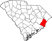
Towns CDP Unincorporated
communitiesDeBordieu | Hopewell‡ | Litchfield Beach | North Santee | Plantersville | Sandy Island
Footnotes ‡This populated place also has portions in an adjacent county or counties
Categories:- National Register of Historic Places in Georgetown County, South Carolina
- National Register of Historic Places in South Carolina by county
-


Wikimedia Foundation. 2010.