- National Register of Historic Places listings in Gloucester County, New Jersey
-
List of the National Register of Historic Places listings in Gloucester County, New Jersey
Contents: Counties in New Jersey Atlantic - Bergen - Burlington - Camden - Cape May - Cumberland - Essex - Gloucester - Hudson - Hunterdon - Mercer - Middlesex - Monmouth - Morris - Ocean - Passaic - Salem - Somerset - Sussex - Union - Warren This is intended to be a complete list of properties and districts listed on the National Register of Historic Places in Gloucester County, New Jersey. The locations of National Register properties and districts (at least for all showing latitude and longitude coordinates below) may be seen in a Google map by clicking on "Map of all coordinates".[1]
-
- This National Park Service list is complete through NPS recent listings posted November 10, 2011.[2]
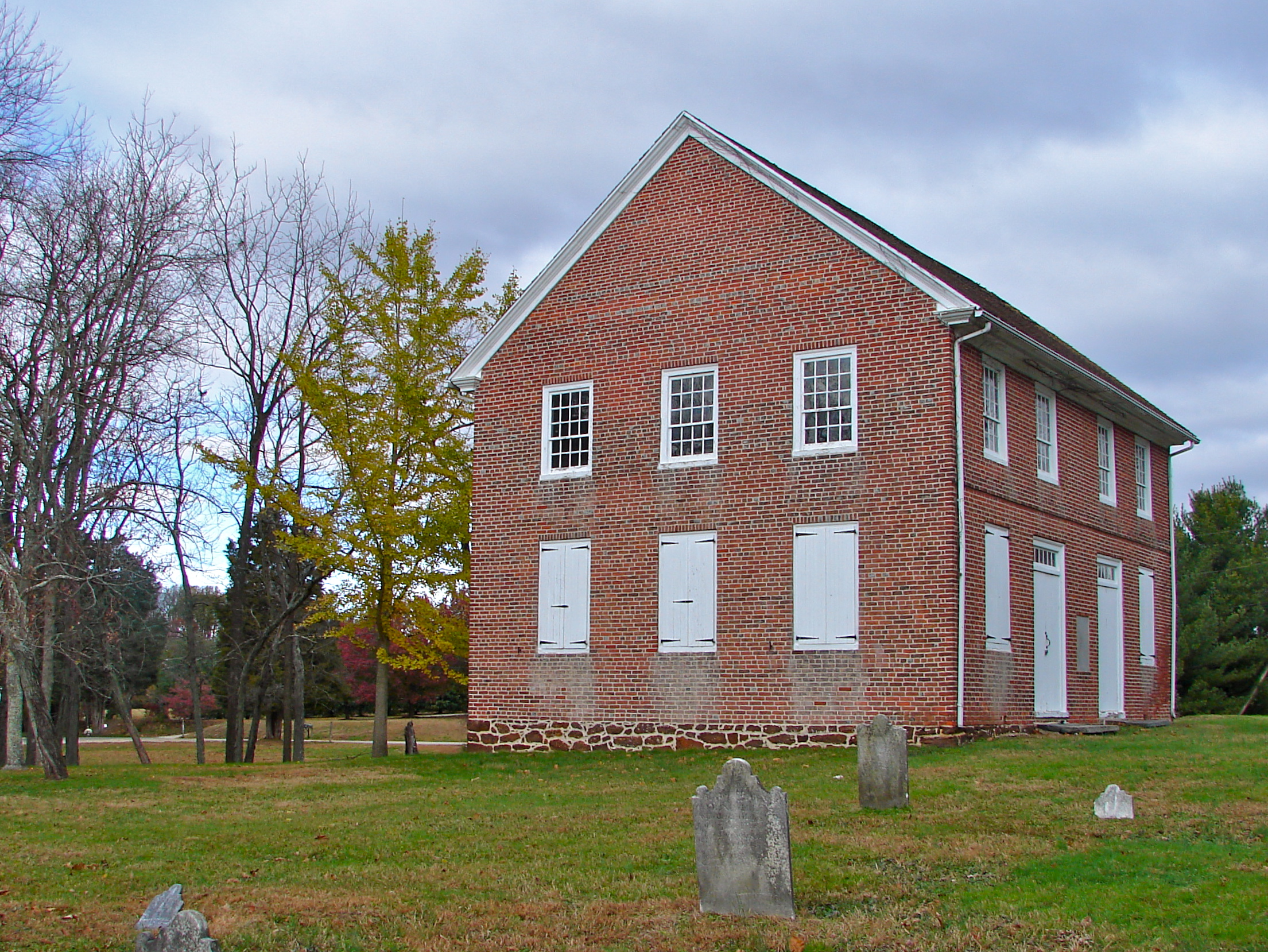
[3] Site name[4] Image Date listed Location[1] City or Town Summary 1 Barnsboro Hotel 
January 25, 1973 Jct. of Pitman and Sewell Rds.
39°45′42″N 75°9′37″W / 39.76167°N 75.16028°WMantua Township 2 Butler Farm 
December 1, 1978 E of Swedesboro
39°44′9″N 75°16′17″W / 39.73583°N 75.27139°WSwedesboro 3 Carpenter Street School 
August 21, 1997 53-55 Carpenter St.
39°49′53″N 75°9′18″W / 39.83139°N 75.155°WWoodbury 4 Jesse Chew House 
October 18, 1972 611 Mantua Blvd.
39°46′25″N 75°8′58″W / 39.77361°N 75.14944°WSewell 5 Benjamin Clark House 
January 25, 1973 Glassboro Rd.
39°47′7″N 75°8′15″W / 39.78528°N 75.1375°WWenonah 6 Downer Methodist Episcopal Church 
October 14, 2010 2226 Fries Mill Rd.
39°41′37″N 75°3′8″W / 39.69361°N 75.05222°WMonroe Township 7 Free Library and Reading Room-Williamstown Memorial Library 
October 1, 1987 405 S. Main St.
39°40′55″N 74°59′29″W / 39.68194°N 74.99139°WWilliamstown 8 G. G. Green's Block 
July 25, 2001 108 S. Broad St.
39°50′11″N 75°9′16″W / 39.83639°N 75.15444°WWoodbury 9 Hall Street School 
September 27, 2006 30 Hall St.
39°41′10″N 74°59′29″W / 39.68611°N 74.99139°WMonroe Township 10 Hunter-Lawrence-Jessup House 
October 18, 1972 58 N. Broad St.
39°50′21″N 75°9′8″W / 39.83917°N 75.15222°WWoodbury 11 Ladd's Castle 
October 31, 1972 1337 Lafayette Ave.
39°51′28″N 75°8′37″W / 39.85778°N 75.14361°WColonial Manor 12 Moravian Church 
April 3, 1973 Swedesboro-Sharptown Rd.
39°42′5″N 75°19′58″W / 39.70139°N 75.33278°WWoolwich Township 13 Mount Zion African Methodist Episcopal Church and Mount Zion Cemetery 
July 25, 2001 172 Garwin Rd.
39°45′54″N 75°17′50″W / 39.765°N 75.29722°WWoolwich 14 Mullica Hill Historic District 
April 25, 1991 Roughly, Main St. from Mullica Hill-Bridgeport Rd. to jct. of Commissioner's Rd. and Bridgeton Pike, Harrison Township
39°44′10″N 75°13′31″W / 39.73611°N 75.22528°WMullica Hill 15 C. A. Nothnagle Log House 
April 23, 1976 Swedesboro-Paulsboro Rd.
39°49′5″N 75°15′59″W / 39.81806°N 75.26639°WGibbstown 16 Bodo Otto House 
December 12, 1976 SR 551 and Quaker Rd.
39°47′20″N 75°14′29″W / 39.78889°N 75.24139°WMickleton 17 Pitman Grove 
August 19, 1977 Bounded by Holly, East, Laurel, and West Aves. (both sides)
39°43′50″N 75°7′58″W / 39.73056°N 75.13278°WPitman 18 Red Bank Battlefield 
October 31, 1972 E bank of Delaware River and W end of Hessian Ave.
39°52′13″N 75°11′25″W / 39.87028°N 75.19028°WNational Park 19 Richardson Avenue School 
June 18, 1998 Richardson Ave.
39°44′51″N 75°18′49″W / 39.7475°N 75.31361°WSwedesboro 20 Richwood Methodist Church 
January 19, 1979 Elmer Rd.
39°43′18″N 75°10′1″W / 39.72167°N 75.16694°WHarrison Township 21 John C. Rulon House 
2000 428 Kings Highway
39°44′50″N 75°18′37″W / 39.74722°N 75.31028°WSwedesboro 22 Salisbury Farm 
March 7, 1979 NA[5] Bridgeport 23 St. Peter's Episcopal Church 
August 10, 1977 King's Hwy.
39°47′58″N 75°13′28″W / 39.79944°N 75.22444°WClarksboro 24 St. Thomas Episcopal Church 
March 3, 1975 SE corner Main and Focer Sts.
39°42′41″N 75°6′54″W / 39.71139°N 75.115°WGlassboro 25 Gov. Charles C. Stratton House 
January 29, 1973 0.5 mi. E of Swedesboro on King's Hwy.
39°45′7″N 75°18′10″W / 39.75194°N 75.30278°WWoolwich Township 26 Thompson House 
July 13, 1988 103 Penn St.
39°50′0″N 75°9′35″W / 39.833333°N 75.15972°WWoodbury 27 Tinicum Island Range Rear Light Station 
September 15, 2005 250 ft. S o jct. of Beacon Ave. and Second St.
39°50′51″N 75°14′24″W / 39.8475°N 75.24°WBillingsport 28 Trinity Church 
January 29, 1973 NW corner of Church St. and King's Hwy.
39°45′1″N 75°18′41″W / 39.75028°N 75.31139°WSwedesboro 29 Upper Greenwich Friends Meetinghouse 
February 28, 1997 413 Kings Hwy., E. Greenwich Township
39°47′35″N 75°14′21″W / 39.79306°N 75.23917°WMickleton 30 James Whitall, Jr. House 
February 6, 1973 100 Grove Ave.
39°51′52″N 75°10′49″W / 39.86444°N 75.18028°WNational Park 31 Whitney Mansion 
December 5, 1972 Whitney Ave.
39°42′22″N 75°7′6″W / 39.70611°N 75.11833°WGlassboro 32 Woodbury Friends' Meetinghouse 
February 6, 1973 120 N. Broad St.
39°50′26″N 75°9′4″W / 39.84056°N 75.15111°WWoodbury References
- ^ a b The latitude and longitude information provided in this table was derived originally from the National Register Information System, which has been found to be fairly accurate for about 99% of listings. For about 1% of NRIS original coordinates, experience has shown that one or both coordinates are typos or otherwise extremely far off; some corrections may have been made. A more subtle problem causes many locations to be off by up to 150 yards, depending on location in the country: most NRIS coordinates were derived from tracing out latitude and longitudes off of USGS topographical quadrant maps created under North American Datum of 1927, which differs from the current, highly accurate GPS system used by Google maps. Chicago is about right, but NRIS longitudes in Washington are higher by about 4.5 seconds, and are lower by about 2.0 seconds in Maine. Latitudes differ by about 1.0 second in Florida. Some locations in this table may have been corrected to current GPS standards.
- ^ "National Register of Historic Places: Weekly List Actions". National Park Service, United States Department of the Interior. Retrieved on November 10, 2011.
- ^ Numbers represent an ordering by significant words. Various colorings, defined here, differentiate National Historic Landmark sites, a National Historic Site, and several National Register of Historic Places Districts from other NRHP buildings, structures, sites or objects.
- ^ "National Register Information System". National Register of Historic Places. National Park Service. 2008-04-24. http://nrhp.focus.nps.gov/natreg/docs/All_Data.html.
- ^ Some listings on the NRHP are highly sensitive sites and may be subject to looting or vandalism. The NRHP lists this site as "Address Restricted."
U.S. National Register of Historic Places Topics Lists by states Alabama • Alaska • Arizona • Arkansas • California • Colorado • Connecticut • Delaware • Florida • Georgia • Hawaii • Idaho • Illinois • Indiana • Iowa • Kansas • Kentucky • Louisiana • Maine • Maryland • Massachusetts • Michigan • Minnesota • Mississippi • Missouri • Montana • Nebraska • Nevada • New Hampshire • New Jersey • New Mexico • New York • North Carolina • North Dakota • Ohio • Oklahoma • Oregon • Pennsylvania • Rhode Island • South Carolina • South Dakota • Tennessee • Texas • Utah • Vermont • Virginia • Washington • West Virginia • Wisconsin • WyomingLists by territories Lists by associated states Other  Category:National Register of Historic Places •
  Portal:National Register of Historic Places
 State of New Jersey
Trenton (capital) Topics Delegations · Demographics · Economy · Elections · Geography · Government · History · Media · Municipalities · Music · People · Politics · Symbols · Transportation · Parks
Regions Atlantic Coastal Plain · Central Jersey · Delaware River Region · Delaware Valley · Gateway Region · Gold Coast · Highlands · Jersey Shore · Meadowlands · New York metro area · North Hudson · North Jersey · Pascack Valley · Piedmont · Pine Barrens · Raritan Bayshore · Ridge-and-Valley Appalachians · Southern Shore Region · Skylands Region · South Jersey · Tri‑State Region · West Hudson
Counties Major cities Atlantic City · Camden · Edison · Elizabeth · Hackensack · Jersey City · Newark · New Brunswick · Ocean City · Paterson · Trenton · Vineland
Categories:- National Register of Historic Places in New Jersey
- Gloucester County, New Jersey
-


Wikimedia Foundation. 2010.