- National Register of Historic Places listings in Great Basin National Park
-
This is a list of the National Register of Historic Places listings in Great Basin National Park.
This is intended to be a complete list of the properties and districts on the National Register of Historic Places in Great Basin National Park, Nevada, United States. The locations of National Register properties and districts for which the latitude and longitude coordinates are included below, may be seen in a Google map.[1]
There are five properties and districts listed on the National Register in the park.
-
- This National Park Service list is complete through NPS recent listings posted November 10, 2011.[2]
Current listings
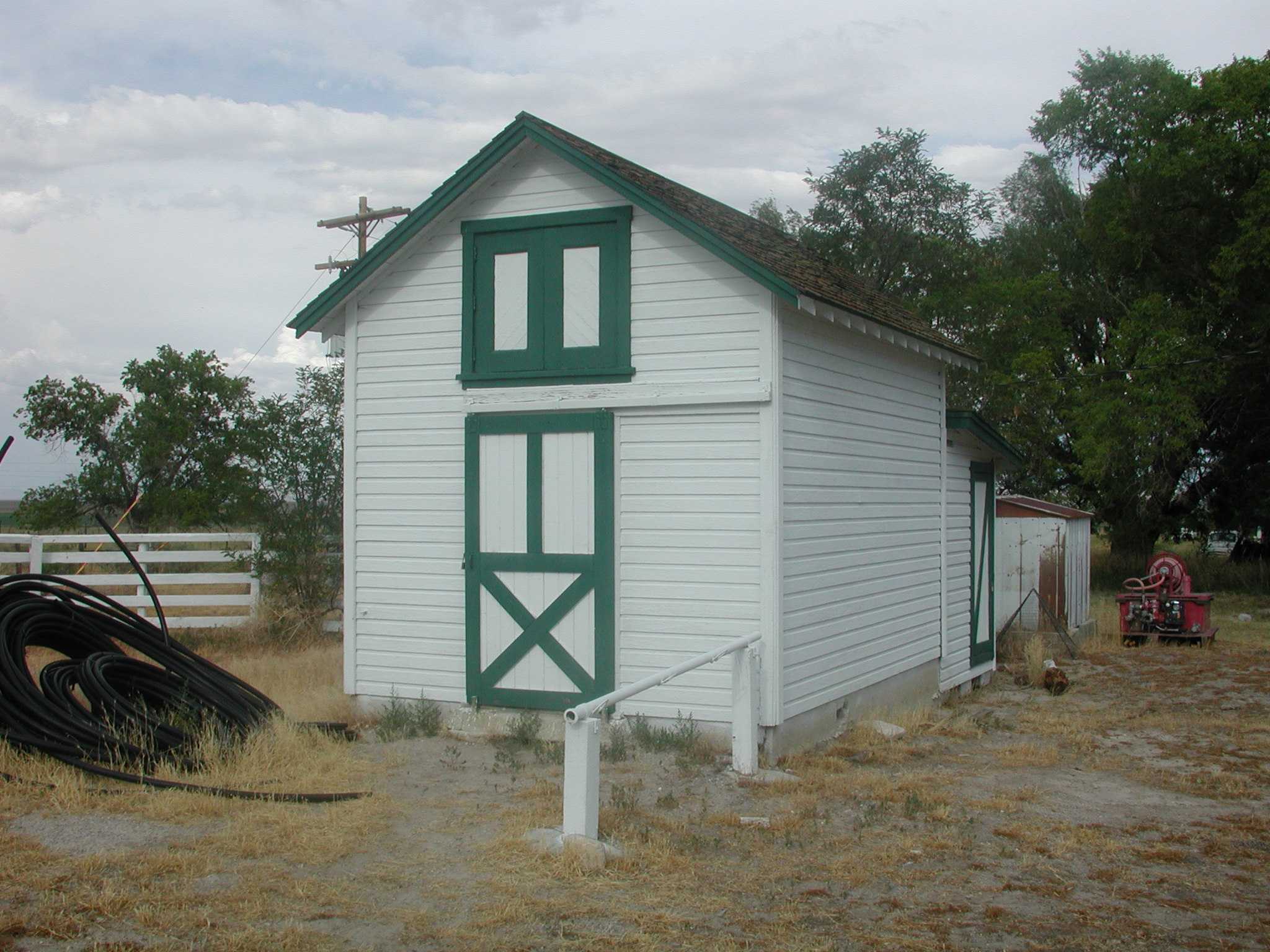
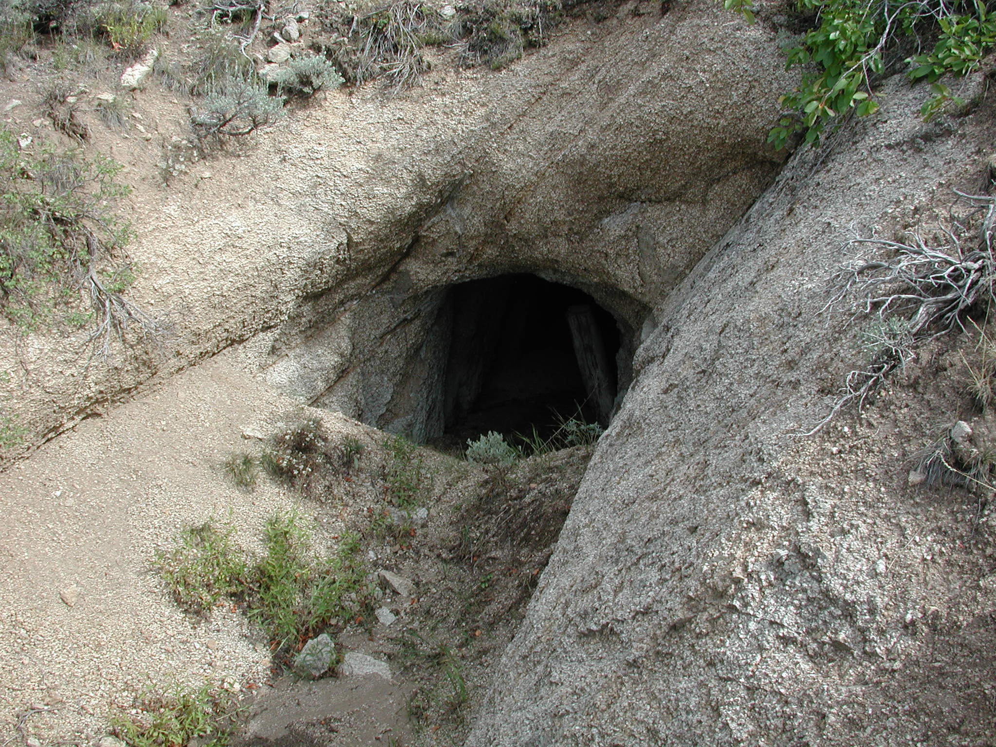
[3] Landmark name[4] Image Date listed Location City or Town Summary 1 Baker Ranger Station 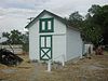
October 17, 1995 Great Basin National Park
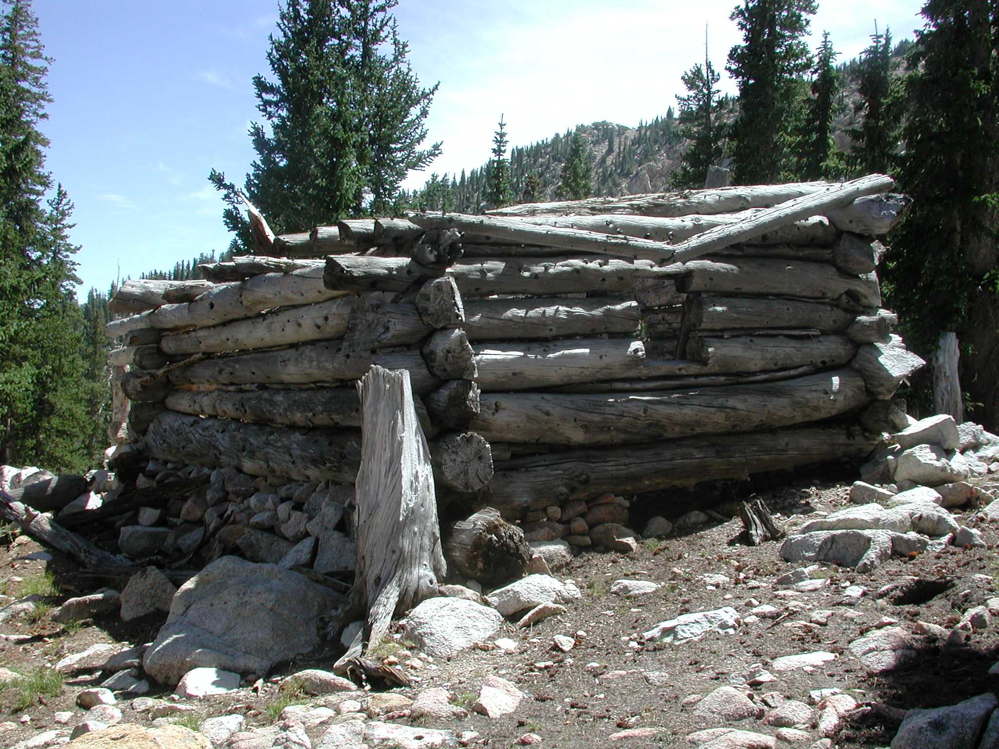
39°0′53″N 114°7′23″W / 39.01472°N 114.12306°WBaker 2 Johnson Lake Mine Historic District 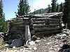
November 2, 1995 Great Basin National Park
38°56′32″N 114°17′44″W / 38.94222°N 114.29556°WBaker 3 Lehman Orchard and Aqueduct 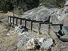
February 25, 1975 Great Basin National Park
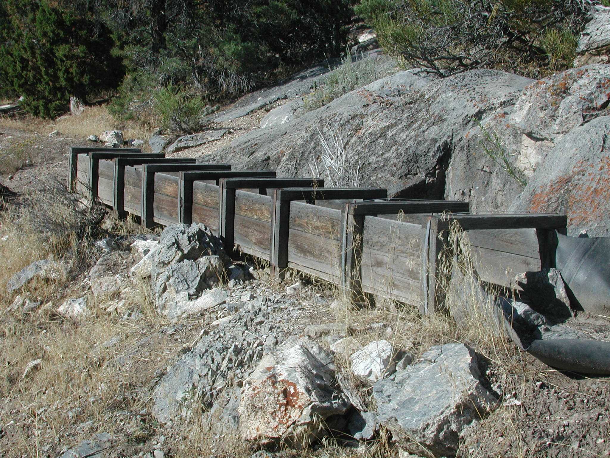
39°0′22″N 114°13′5″W / 39.00611°N 114.21806°WBaker 4 Osceola (East) Ditch 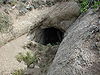
June 6, 1996 Starting 0.5 miles east of Grouse Canyon and running approximately 18 miles southeast to Lehman Creek in Great Basin National Park
39°1′48″N 114°17′26″W / 39.03°N 114.29056°WBaker 5 Rhodes Cabin 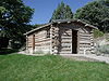
February 25, 1975 Great Basin National Park
39°0′20″N 114°13′9″W / 39.00556°N 114.21917°WBaker See also
References
- ^ The latitude and longitude information provided in this table was derived originally from the National Register Information System, which has been found to be fairly accurate for about 99% of listings. For about 1% of NRIS original coordinates, experience has shown that one or both coordinates are typos or otherwise extremely far off; some corrections may have been made. A more subtle problem causes many locations to be off by up to 150 yards, depending on location in the country: most NRIS coordinates were derived from tracing out latitude and longitudes off of USGS topographical quadrant maps created under the North American Datum of 1927, which differs from the current, highly accurate WGS84 GPS system used by Google maps. Chicago is about right, but NRIS longitudes in Washington are higher by about 4.5 seconds, and are lower by about 2.0 seconds in Maine. Latitudes differ by about 1.0 second in Florida. Some locations in this table may have been corrected to current GPS standards.
- ^ "National Register of Historic Places: Weekly List Actions". National Park Service, United States Department of the Interior. Retrieved on November 10, 2011.
- ^ Numbers represent an ordering by significant words. Various colorings, defined here, differentiate National Historic Landmark sites and National Register of Historic Places Districts from other NRHP buildings, structures, sites or objects.
- ^ "National Register Information System". National Register of Historic Places. National Park Service. 2008-04-24. http://nrhp.focus.nps.gov/natreg/docs/All_Data.html.
National Register of Historic Places in Great Basin National Park Historic districts Johnson Lake Mine Historic District | Lehman Orchard and Aqueduct
Properties Baker Ranger Station | Osceola (East) Ditch | Rhodes Cabin
See also: National Register of Historic Places listings in Great Basin National ParkU.S. National Register of Historic Places Topics Lists by states Alabama • Alaska • Arizona • Arkansas • California • Colorado • Connecticut • Delaware • Florida • Georgia • Hawaii • Idaho • Illinois • Indiana • Iowa • Kansas • Kentucky • Louisiana • Maine • Maryland • Massachusetts • Michigan • Minnesota • Mississippi • Missouri • Montana • Nebraska • Nevada • New Hampshire • New Jersey • New Mexico • New York • North Carolina • North Dakota • Ohio • Oklahoma • Oregon • Pennsylvania • Rhode Island • South Carolina • South Dakota • Tennessee • Texas • Utah • Vermont • Virginia • Washington • West Virginia • Wisconsin • WyomingLists by territories Lists by associated states Other Categories:- National Register of Historic Places lists in the National Park Service
- Great Basin National Park
-

Wikimedia Foundation. 2010.