- National Register of Historic Places listings in Las Animas County, Colorado
-
 Location of Las Animas County in Colorado
This is a list of the National Register of Historic Places listings in Las Animas County, Colorado.
This is intended to be a complete list of the properties and districts on the National Register of Historic Places in Las Animas County, Colorado, United States. The locations of National Register properties and districts for which the latitude and longitude coordinates are included below, may be seen in a Google map.[1]
There are 26 properties and districts listed on the National Register in the county.
-
- This National Park Service list is complete through NPS recent listings posted November 10, 2011.[2]
Current listings
[3] Landmark name Image Date listed Location City or town Summary 1 7-D School December 22, 2009 County Road 171 north of County Road 50.6
37°21′29″N 103°35′35″W / 37.358067°N 103.593011°WBranson 2 Aultman House July 11, 2007 711 Colorado Ave.
37°10′31″N 104°30′59″W / 37.175278°N 104.516389°WTrinidad 3 Baca House and Outbuilding 
February 26, 1970 300 block of Main St.
37°10′09″N 104°30′09″W / 37.169167°N 104.5025°WTrinidad 4 Frank G. Bloom House 
February 26, 1970 300 block of Main St.
37°10′10″N 104°30′07″W / 37.169444°N 104.501944°WTrinidad 5 Bridge over Burro Canon February 4, 1985 State Highway 12
37°07′26″N 104°44′26″W / 37.123889°N 104.740556°WMadrid 6 Carnegie Public Library 
April 14, 1995 202 N. Animas St.
37°10′05″N 104°30′28″W / 37.168056°N 104.507778°WTrinidad 7 Cokedale Historic District January 18, 1985 Roughly bounded by Church, Maple, Pine, Elm, and Spruce Sts.
37°08′32″N 104°37′10″W / 37.142222°N 104.619444°WCokedale 8 Colorado Millennial Site April 8, 1980 Address Restricted Ruxton 9 Corazon de Trinidad 
February 28, 1973 Roughly bounded by the Purgatoire River on the north and west, Walnut St. on the east, and 3rd, W. 1st and Animas Sts. on the south
37°10′07″N 104°30′20″W / 37.168611°N 104.505556°WTrinidad 10 East Street School December 19, 2007 206 East St.
37°10′15″N 104°29′43″W / 37.170833°N 104.495278°WTrinidad 11 First Baptist Church January 28, 2000 809 San Pedro St.
37°10′31″N 104°30′27″W / 37.175278°N 104.5075°WTrinidad 12 First Christian Church November 7, 1995 200 S. Walnut St.
37°10′08″N 104°30′02″W / 37.168889°N 104.500556°WTrinidad 13 First Methodist Episcopal Church August 7, 2005 216 Broom St.
37°10′25″N 104°30′38″W / 37.173611°N 104.510556°WTrinidad 14 Jaffa Opera House February 7, 1972 100-116 W. Main St.
37°10′05″N 104°30′19″W / 37.168056°N 104.505278°WTrinidad 15 Kim Schools April 24, 2007 425 State St.
37°14′49″N 103°21′10″W / 37.246944°N 103.352778°WKim 16 Frank Latuda House January 27, 2010 431 W. Colorado Ave.
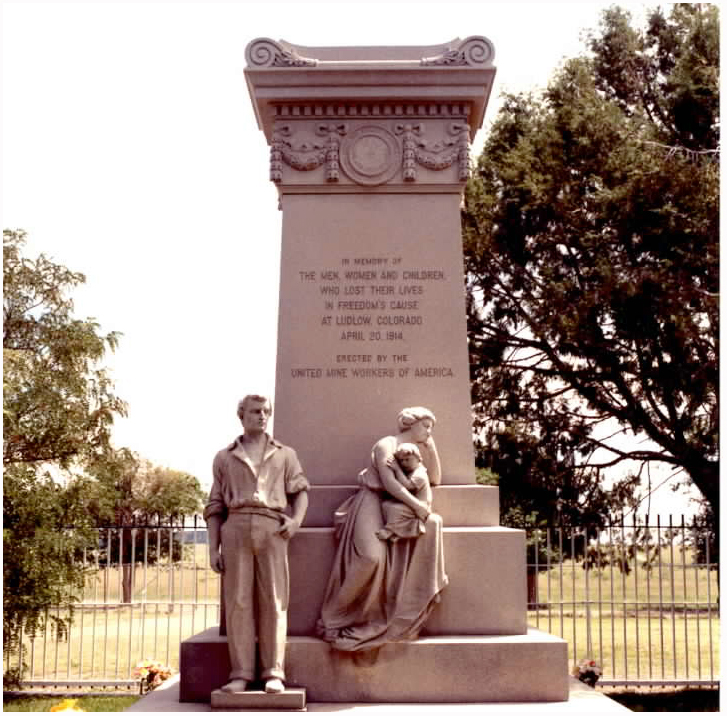
37°10′31″N 104°30′47″W / 37.175164°N 104.512917°WTrinidad 17 Ludlow Tent Colony Site 
June 19, 1985 Del Aqua Canyon Rd.
37°19′38″N 106°50′21″W / 37.327222°N 106.839167°WLudlow Site of the nineteenth-century Ludlow massacre of miners, recently yielding archeological findings. Declared a National Historical Landmark in 2009. 18 McCormick House November 4, 2009 1919 Pinon St.
37°10′54″N 104°31′12″W / 37.181775°N 104.519919°WTrinidad 19 Nichols House August 30, 2005 212 E. 2nd St.
37°10′02″N 104°30′07″W / 37.167222°N 104.501944°WTrinidad 20 Pleasant Valley School August 13, 2008 County Road 143 just south of U.S. Route 160
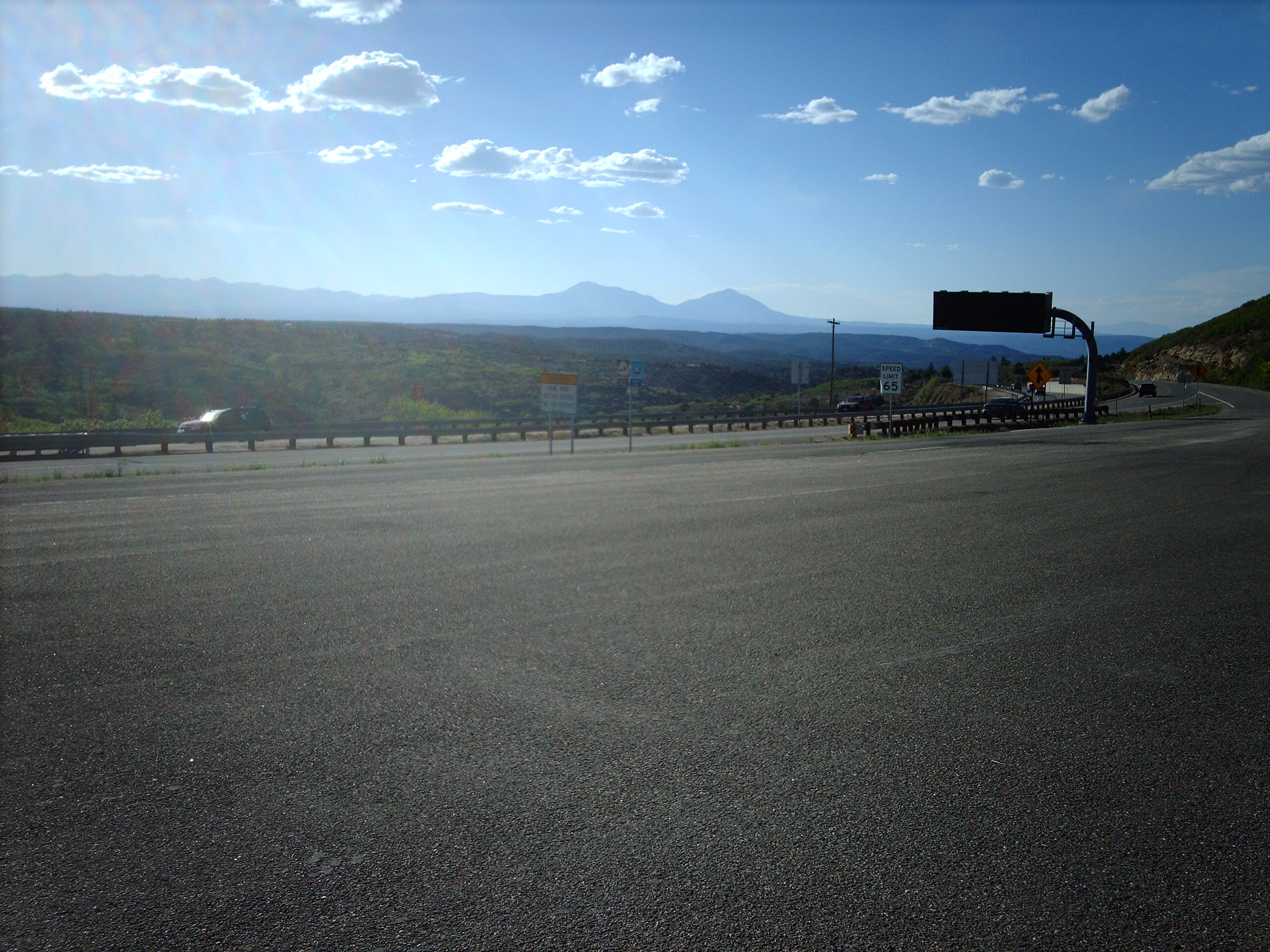
37°09′42″N 103°51′02″W / 37.161531°N 103.850694°WBranson 21 Raton Pass 
October 15, 1966 U.S. Routes 85/87 along the Colorado/New Mexico border
36°59′19″N 104°29′11″W / 36.988611°N 104.486389°WTrinidad 22 Rourke Ranch Historic District 
September 21, 2000 Comanche National Grassland
37°35′27″N 103°38′35″W / 37.590833°N 103.643056°WLa Junta 23 Torres Cave Archeological Site April 29, 1980 Address Restricted Villegreen 24 Trinchera Cave Archeological District October 22, 2001 Address Restricted Trinchera 25 US Post Office-Trinidad Main 
January 22, 1986 301 E. Main St.
37°10′11″N 104°30′09″W / 37.169722°N 104.5025°WTrinidad 26 Zion's German Lutheran Church October 25, 2006 510 Pine St.
37°10′24″N 104°30′49″W / 37.173333°N 104.513611°WTrinidad See also
- List of National Historic Landmarks in Colorado
- National Register of Historic Places listings in Colorado
References
- ^ The latitude and longitude information provided in this table was derived originally from the National Register Information System, which has been found to be fairly accurate for about 99% of listings. For about 1% of NRIS original coordinates, experience has shown that one or both coordinates are typos or otherwise extremely far off; some corrections may have been made. A more subtle problem causes many locations to be off by up to 150 yards, depending on location in the country: most NRIS coordinates were derived from tracing out latitude and longitudes off of USGS topographical quadrant maps created under North American Datum of 1927, which differs from the current, highly accurate GPS system used by Google maps. Chicago is about right, but NRIS longitudes in Washington are higher by about 4.5 seconds, and are lower by about 2.0 seconds in Maine. Latitudes differ by about 1.0 second in Florida. Some locations in this table may have been corrected to current GPS standards.
- ^ "National Register of Historic Places: Weekly List Actions". National Park Service, United States Department of the Interior. Retrieved on November 10, 2011.
- ^ Numbers represent an ordering by significant words. Various colorings, defined here, differentiate National Historic Landmark sites and National Register of Historic Places Districts from other NRHP buildings, structures, sites or objects.
U.S. National Register of Historic Places Topics Lists by states Alabama • Alaska • Arizona • Arkansas • California • Colorado • Connecticut • Delaware • Florida • Georgia • Hawaii • Idaho • Illinois • Indiana • Iowa • Kansas • Kentucky • Louisiana • Maine • Maryland • Massachusetts • Michigan • Minnesota • Mississippi • Missouri • Montana • Nebraska • Nevada • New Hampshire • New Jersey • New Mexico • New York • North Carolina • North Dakota • Ohio • Oklahoma • Oregon • Pennsylvania • Rhode Island • South Carolina • South Dakota • Tennessee • Texas • Utah • Vermont • Virginia • Washington • West Virginia • Wisconsin • WyomingLists by territories Lists by associated states Other  Category:National Register of Historic Places •
  Portal:National Register of Historic Places
Municipalities and communities of Las Animas County, Colorado County seat: Trinidad City 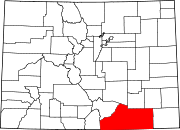
Towns Aguilar | Branson | Cokedale | Kim | Starkville
Unincorporated
communitiesGhost towns Categories:- National Register of Historic Places in Colorado by county
- Las Animas County, Colorado
-


Wikimedia Foundation. 2010.