- National Register of Historic Places listings in Lassen Volcanic National Park
-
This is a list of the National Register of Historic Places listings in Lassen Volcanic National Park.
This is intended to be a complete list of the properties and districts on the National Register of Historic Places in Lassen Volcanic National Park, California, United States. The locations of National Register properties and districts for which the latitude and longitude coordinates are included below, may be seen in a Google map.[1]
There are 9 properties and districts listed on the National Register in the park.
-
- This National Park Service list is complete through NPS recent listings posted November 10, 2011.[2]
Current listings
[3] Landmark name[4] Image Date listed Location City or Town Summary 1 Drakesbad Guest Ranch 
October 22, 2003 Head of Warner Creek Valley, Lassen Volcanic National Park
40°26′23″N 121°24′52″W / 40.43972°N 121.41444°WChester 2 Horseshoe Lake Ranger Station 
May 5, 1978 N of Chester in Lassen Volcanic National Park
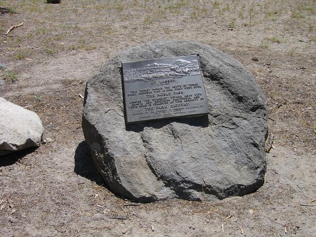
40°28′23″N 121°19′48″W / 40.47306°N 121.33°WChester 3 Lassen Volcanic National Park Highway Historic District 
June 23, 2006 NPS Route 1, CA 89
40°30′2″N 121°30′38″W / 40.50056°N 121.51056°WMineral 4 Loomis Visitor Center, Bldg. 43 February 25, 1975 Lassen Volcanic National Park
40°32′10″N 121°33′44″W / 40.53611°N 121.56222°WManzanita Lake 5 Manzanita Lake Naturalist's Services Historic District 
June 23, 2006 39489 CA 44
40°32′8″N 121°33′51″W / 40.53556°N 121.56417°WShingletown 6 Nobles Emigrant Trail 
October 3, 1975 E of Shingletown in Lassen Volcanic National Park
40°32′50″N 121°25′29″W / 40.54722°N 121.42472°WShingletown 7 Park Headquarters, Lassen Volcanic National Park 
October 3, 1978 Off CA 36
40°20′45″N 121°36′27″W / 40.34583°N 121.6075°WMineral 8 Summit Lake Ranger Station 
April 3, 1978 NE of Mineral in Lassen Volcanic National Park
40°29′54″N 121°25′37″W / 40.49833°N 121.42694°WMineral 9 Warner Valley Ranger Station 
April 3, 1978 N of Chester in Lassen Volcanic National Park
40°26′28″N 121°22′57″W / 40.44111°N 121.3825°WChester See also
- National Register of Historic Places listings in Shasta County, California
- National Register of Historic Places listings in Tehama County, California
- National Register of Historic Places listings in Plumas County, California
- National Register of Historic Places listings in California
References
- Emmons, Ann; Catton, Ted. National Register of Historic Places Multiple Property Documentation Form: Lassen Volcanic National Park Multiple Property Listing. National Park Service February 2004 [1]
- ^ The latitude and longitude information provided in this table was derived originally from the National Register Information System, which has been found to be fairly accurate for about 99% of listings. For about 1% of NRIS original coordinates, experience has shown that one or both coordinates are typos or otherwise extremely far off; some corrections may have been made. A more subtle problem causes many locations to be off by up to 150 yards, depending on location in the country: most NRIS coordinates were derived from tracing out latitude and longitudes off of USGS topographical quadrant maps created under North American Datum of 1927, which differs from the current, highly accurate GPS system used by Google maps. Chicago is about right, but NRIS longitudes in Washington are higher by about 4.5 seconds, and are lower by about 2.0 seconds in Maine. Latitudes differ by about 1.0 second in Florida. Some locations in this table may have been corrected to current GPS standards.
- ^ "National Register of Historic Places: Weekly List Actions". National Park Service, United States Department of the Interior. Retrieved on November 10, 2011.
- ^ Numbers represent an ordering by significant words. Various colorings, defined here, differentiate National Historic Landmark sites and National Register of Historic Places Districts from other NRHP buildings, structures, sites or objects.
- ^ "National Register Information System". National Register of Historic Places. National Park Service. 2008-04-24. http://nrhp.focus.nps.gov/natreg/docs/All_Data.html.
National Register of Historic Places in Lassen Volcanic National Park Other historic districts Drakesbad Guest Ranch | Lassen Volcanic National Park Highway Historic District | Nobles Emigrant Trail
Other properties Horseshoe Lake Ranger Station | Loomis Visitor Center, Bldg. 43 | Manzanita Lake Naturalist's Services Historic District | Park Headquarters, Lassen Volcanic National Park | Summit Lake Ranger Station | Warner Valley Ranger Station
See also: National Register of Historic Places listings in Lassen Volcanic National Park U.S. National Register of Historic Places Topics Lists by states Alabama • Alaska • Arizona • Arkansas • California • Colorado • Connecticut • Delaware • Florida • Georgia • Hawaii • Idaho • Illinois • Indiana • Iowa • Kansas • Kentucky • Louisiana • Maine • Maryland • Massachusetts • Michigan • Minnesota • Mississippi • Missouri • Montana • Nebraska • Nevada • New Hampshire • New Jersey • New Mexico • New York • North Carolina • North Dakota • Ohio • Oklahoma • Oregon • Pennsylvania • Rhode Island • South Carolina • South Dakota • Tennessee • Texas • Utah • Vermont • Virginia • Washington • West Virginia • Wisconsin • WyomingLists by territories Lists by associated states Other  Category:National Register of Historic Places •
  Portal:National Register of Historic PlacesCategories:
- National Register of Historic Places lists in the National Park Service
- Lassen Volcanic National Park
-


Wikimedia Foundation. 2010.