National Register of Historic Places listings in Lexington, Virginia
- National Register of Historic Places listings in Lexington, Virginia
-
This list includes properties and districts listed on the National Register of Historic Places in Lexington, Virginia. Click the "Map of all coordinates" link to the right to view a Google map of all properties and districts with latitude and longitude coordinates in the table below.[1]
-
- This National Park Service list is complete through NPS recent listings posted November 10, 2011.[2]
| [3] |
Landmark name [4] |
Image |
Date listed |
Location |
City or town |
Summary |
| 1 |
Alexander-Withrow House |
|
01971-07-02July 2, 1971 |
Main and Washington Sts.
37°47′07″N 79°26′31″W / 37.785278°N 79.441944°W / 37.785278; -79.441944 (Alexander-Withrow House) |
Lexington |
|
| 2 |
Barracks, Virginia Military Institute |
|
01966-10-15October 15, 1966 |
Northern edge of Lexington on U.S. Route 11
37°47′25″N 79°26′19″W / 37.790278°N 79.438611°W / 37.790278; -79.438611 (Barracks, Virginia Military Institute)
|
Lexington |
|
| 3 |
Blandome |
|
02002-01-24January 24, 2002 |
101 Tucker St.
37°47′03″N 79°26′20″W / 37.784167°N 79.438889°W / 37.784167; -79.438889 (Blandome) |
Lexington |
|
| 4 |
Col Alto |
|
01990-11-19November 19, 1990 |
Nelson and Spottswood Dr.
37°46′49″N 79°26′21″W / 37.780278°N 79.439167°W / 37.780278; -79.439167 (Col Alto) |
Lexington |
|
| 5 |
First Baptist Church-Lexington |
|
02006-08-30August 30, 2006 |
103 N. Main St.
37°47′09″N 79°26′27″W / 37.785833°N 79.440833°W / 37.785833; -79.440833 (First Baptist Church-Lexington) |
Lexington |
|
| 6 |
Stonewall Jackson House |
|
01973-04-24April 24, 1973 |
8 E. Washington St.
37°47′05″N 79°26′29″W / 37.784722°N 79.441389°W / 37.784722; -79.441389 (Stonewall Jackson House) |
Lexington |
|
| 7 |
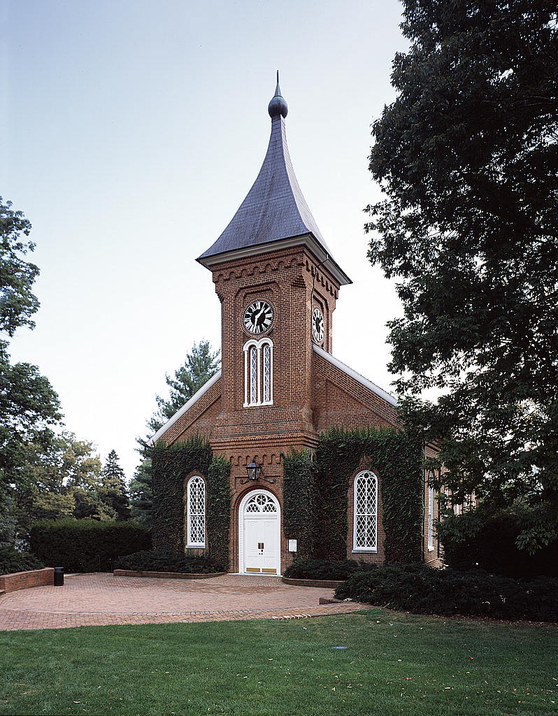
Lee Chapel, Washington and Lee University |
|
01966-10-15October 15, 1966 |
Washington and Lee University campus
37°47′14″N 79°26′32″W / 37.787222°N 79.442222°W / 37.787222; -79.442222 (Lee Chapel, Washington and Lee University) |
Lexington |
|
| 8 |
Lexington and Covington Turnpike Toll House |
|
02004-11-27November 27, 2004 |
453 Lime Kiln Rd.
37°47′11″N 79°27′16″W / 37.786389°N 79.454444°W / 37.786389; -79.454444 (Lexington and Covington Turnpike Toll House) |
Lexington |
|
| 9 |
Lexington Historic District |
|
01972-07-26July 26, 1972 |
Roughly bounded by the former Chesapeake and Ohio railroad line, Graham and Jackson Aves., and Estill and Jordan Sts.
37°47′09″N 79°26′25″W / 37.785833°N 79.440278°W / 37.785833; -79.440278 (Lexington Historic District) |
Lexington |
|
| 10 |
Lexington Presbyterian Church |
|
01979-05-24May 24, 1979 |
Main and Nelson Sts.
37°47′02″N 79°26′35″W / 37.783889°N 79.443056°W / 37.783889; -79.443056 (Lexington Presbyterian Church) |
Lexington |
|
| 11 |
Mulberry Hill |
|
01982-09-09September 9, 1982 |
Liberty Hall Rd.
37°47′N 79°27′W / 37.79°N 79.45°W / 37.79; -79.45 (Mulberry Hill) |
Lexington |
|
| 12 |
Reid-White-Philbin House |
|
02000-08-02August 2, 2000 |
208 W. Nelson St.
37°47′08″N 79°26′45″W / 37.785556°N 79.445833°W / 37.785556; -79.445833 (Reid-White-Philbin House) |
Lexington |
|
| 13 |
Stono |
|
01975-04-01April 1, 1975 |
At the junction of U.S. Routes 11 and 11A
37°47′25″N 79°25′50″W / 37.790278°N 79.430556°W / 37.790278; -79.430556 (Stono) |
Lexington |
|
| 14 |
Virginia Military Institute Historic District |
|
01974-05-30May 30, 1974 |
Virginia Military Institute campus
37°47′24″N 79°26′09″W / 37.79°N 79.435833°W / 37.79; -79.435833 (Virginia Military Institute Historic District) |
Lexington |
|
| 15 |
Washington and Lee University Historic District |
|
01971-11-11November 11, 1971 |
Washington and Lee University campus
37°47′16″N 79°26′32″W / 37.787778°N 79.442222°W / 37.787778; -79.442222 (Washington and Lee University Historic District) |
Lexington |
|
See also
References
- ^ The latitude and longitude information provided in this table was derived originally from the National Register Information System, which has been found to be fairly accurate for about 99% of listings. For about 1% of NRIS original coordinates, experience has shown that one or both coordinates are typos or otherwise extremely far off; some corrections may have been made. A more subtle problem causes many locations to be off by up to 150 yards, depending on location in the country: most NRIS coordinates were derived from tracing out latitude and longitudes off of USGS topographical quadrant maps created under the North American Datum of 1927, which differs from the current, highly accurate WGS84 GPS system used by Google maps. Chicago is about right, but NRIS longitudes in Washington are higher by about 4.5 seconds, and are lower by about 2.0 seconds in Maine. Latitudes differ by about 1.0 second in Florida. Some locations in this table may have been corrected to current GPS standards.
- ^ "National Register of Historic Places: Weekly List Actions". National Park Service, United States Department of the Interior. Retrieved on November 10, 2011.
- ^ Numbers represent an ordering by significant words. Various colorings, defined here, differentiate National Historic Landmark sites and National Register of Historic Places Districts from other NRHP buildings, structures, sites or objects.
- ^ "National Register Information System". National Register of Historic Places. National Park Service. . http://nrhp.focus.nps.gov/natreg/docs/All_Data.html.
Wikimedia Foundation.
2010.
Look at other dictionaries:
National Register of Historic Places listings in Lexington County, South Carolina — Location of Lexington County in South Carolina This is a list of the National Register of Historic Places listings in Lexington County, South Carolina. This is intended to be a complete list of the properties and districts on the National… … Wikipedia
National Register of Historic Places listings in Charlottesville, Virginia — Map of all coordinates from Google Map of all coordinates from Bing … Wikipedia
National Register of Historic Places listings in Covington, Virginia — Map of all coordinates from Google Map of all coordinates from Bing Exp … Wikipedia
National Register of Historic Places listings in Rockbridge County, Virginia — Map of all coordinates from Google Map of all coordinates from Bing … Wikipedia
National Register of Historic Places listings in Fayette County, Kentucky — Location of Fayette County in Kentucky This is a list of the National Register of Historic Places listings in Fayette County, Kentucky. This is intended to be a complete list of the properties and districts on the National Register of Historic… … Wikipedia
National Register of Historic Places listings in Jefferson County, Kentucky — Location of Jefferson County in Kentucky This is a list of the National Register of Historic Places listings in Jefferson County, Kentucky. It is intended to be a complete list of the properties and districts on the National Register of Historic… … Wikipedia
National Register of Historic Places listings in Nebraska — … Wikipedia
National Register of Historic Places listings in Davidson County, North Carolina — Map of all coordinates from Google Map of all coordinates from Bing … Wikipedia
National Register of Historic Places listings in Tennessee — Tennessee s counties … Wikipedia
National Register of Historic Places listings at colleges and universities in the United States — This list is incomplete; you can help by expanding it. This is an incomplete list of historic properties and districts at United States colleges and universities that are listed on the National Register of Historic Places (NRHP). This includes… … Wikipedia