- National Register of Historic Places listings in Lincoln County, South Dakota
-
 Location of Lincoln County in South Dakota
This is a list of the National Register of Historic Places listings in Lincoln County, South Dakota.
This is intended to be a complete list of the properties and districts on the National Register of Historic Places in Lincoln County, South Dakota, United States. The locations of National Register properties and districts for which the latitude and longitude coordinates are included below, may be seen in a Google map.[1]
There are 24 properties and districts listed on the National Register in the county, including 1 National Historic Landmark. Another property was once listed but has since been removed.
-
- This National Park Service list is complete through NPS recent listings posted November 10, 2011.[2]
Current listings
[3] Landmark name [4] Image Date listed Location City or town Summary 1 Dr. Andrew Anderson House February 5, 2003 416 E. 2nd St.
43°18′13″N 96°35′19″W / 43.303592°N 96.588508°WCanton 2 Magnus O. Bergstrom House March 17, 1994 415 S. Cedar
43°17′43″N 96°36′08″W / 43.295278°N 96.602222°WCanton 3 Blood Run Site 
August 29, 1970 On the Iowa/South Dakota border along the Big Sioux River
43°30′1.476″N 96°35′49.02″W / 43.50041°N 96.59695°W[5]Shindler Extends into Lyon County, Iowa 4 Brooklyn School District No. 42 December 15, 2004 29534 468th Ave.
43°06′34″N 96°50′41″W / 43.109444°N 96.844722°WBeresford 5 Byrnes House 
November 18, 2009 525 N. Broadway St.
43°18′17″N 96°35′29″W / 43.304656°N 96.591453°WCanton 6 Canton Asylum for American Indians Cemetery February 20, 1998 North of the junction of U.S. Route 18 and the former Chicago, Milwaukee, St. Paul and Pacific railroad tracks
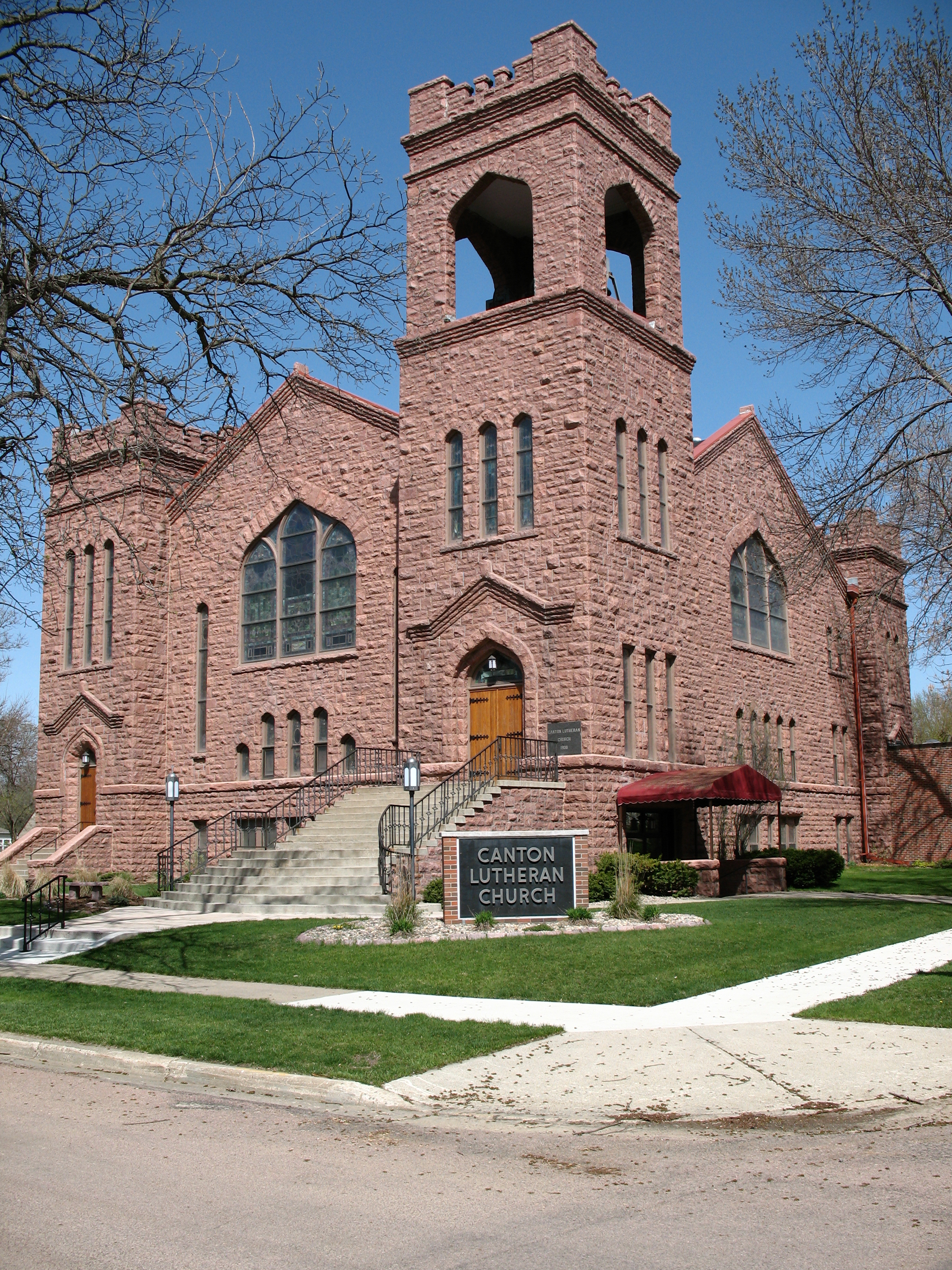
43°18′20″N 96°33′04″W / 43.305556°N 96.551111°WCanton At least 121 burials at this cemetery are dated from the existence of the Asylum, which was open from 1898 to 1934. 7 Canton Lutheran Church 
May 30, 2002 124 E. 2nd St.
43°18′14″N 96°35′30″W / 43.303889°N 96.591667°WCanton 8 Anthon W. Elster House June 28, 2010 27765 476th Ave.
43°21′51″N 96°41′15″W / 43.364167°N 96.6875°WCanton vicinity 9 Grand Valley Schoolhouse, District No. 12 March 3, 1997 285th St., approximately 0.5 miles east of its junction with Highway 11
43°15′27″N 96°38′15″W / 43.2575°N 96.6375°WCanton 10 Harney Hospital August 1, 1984 305 S. Main St.
43°21′11″N 96°53′29″W / 43.353056°N 96.891389°WLennox 11 Hudson Boy Scout Cabin June 18, 2009 416 Wheelock St.
43°07′49″N 96°27′15″W / 43.130364°N 96.454294°WHudson 12 John Isakson House August 1, 1984 504 E. 3rd St.
43°18′11″N 96°35′58″W / 43.303056°N 96.599444°WCanton 13 C. B. Kennedy Mansion February 9, 2001 903 N. Dakota St.
43°18′30″N 96°35′21″W / 43.308333°N 96.589167°WCanton 14 Kruger Dam May 1, 1979 Northeast of Canton
43°23′10″N 96°31′18″W / 43.386111°N 96.521667°WCanton 15 Norway Center Store May 30, 2003 29339 Highway 11
43°07′37″N 96°37′44″W / 43.126944°N 96.628889°WHudson 16 Old Main, Augustana Academy 
December 2, 1985 Lawler and 2nd Sts.
43°18′13″N 96°34′41″W / 43.303611°N 96.578056°WCanton 17 Penmarch Place February 26, 1987 Penmarch Place, RD 1, Box 142
43°29′55″N 96°42′44″W / 43.498611°N 96.712222°WSioux Falls 18 Rudolph-Parke House September 14, 2001 412 E. 1st St.
43°18′17″N 96°35′18″W / 43.304722°N 96.588333°WCanton 19 Mathias Schmid Farm December 15, 2004 47405 293rd St.
43°08′35″N 96°43′32″W / 43.143056°N 96.725556°WBeresford 20 Skartvedt House February 18, 2000 224 E. 2nd St.
43°18′13″N 96°35′25″W / 43.303611°N 96.590278°WCanton 21 South Dakota Dept of Trans. Bridge No. 42-200-125 May 30, 2002 Three Mile Rd.
43°19′26″N 96°31′42″W / 43.323889°N 96.528333°WCanton 22 J. W. Taylor House August 16, 2000 308 N. Broadway St.
43°18′10″N 96°35′27″W / 43.302778°N 96.590833°WCanton 23 Peder and Helga Tuntland Farmstead March 17, 1994 Roughly 10 miles northwest of Beresford
43°09′50″N 96°39′48″W / 43.163889°N 96.663333°WBeresford 24 Ulrickson Barn August 25, 2005 Highway 11 29350
43°08′11″N 96°37′19″W / 43.136389°N 96.621944°WHudson Former listing
Landmark name Image Date Location City or Town Summary 1 South Dakota Department of Transportation Bridge No. 42-103-207 March 26, 2008 (delisted) Beresford See also
- List of National Historic Landmarks in South Dakota
- National Register of Historic Places listings in South Dakota
References
- ^ The latitude and longitude information provided in this table was derived originally from the National Register Information System, which has been found to be fairly accurate for about 99% of listings. For about 1% of NRIS original coordinates, experience has shown that one or both coordinates are typos or otherwise extremely far off; some corrections may have been made. A more subtle problem causes many locations to be off by up to 150 yards, depending on location in the country: most NRIS coordinates were derived from tracing out latitude and longitudes off of USGS topographical quadrant maps created under the North American Datum of 1927, which differs from the current, highly accurate WGS84 GPS system used by Google maps. Chicago is about right, but NRIS longitudes in Washington are higher by about 4.5 seconds, and are lower by about 2.0 seconds in Maine. Latitudes differ by about 1.0 second in Florida. Some locations in this table may have been corrected to current GPS standards.
- ^ "National Register of Historic Places: Weekly List Actions". National Park Service, United States Department of the Interior. Retrieved on November 10, 2011.
- ^ Numbers represent an ordering by significant words. Various colorings, defined here, differentiate National Historic Landmark sites and National Register of Historic Places Districts from other NRHP buildings, structures, sites or objects.
- ^ "National Register Information System". National Register of Historic Places. National Park Service. . http://nrhp.focus.nps.gov/natreg/docs/All_Data.html.
- ^ Location derived from this State Historical Society of Iowa website; the NRIS lists it as "Address Restricted"
U.S. National Register of Historic Places Topics Lists by states Alabama • Alaska • Arizona • Arkansas • California • Colorado • Connecticut • Delaware • Florida • Georgia • Hawaii • Idaho • Illinois • Indiana • Iowa • Kansas • Kentucky • Louisiana • Maine • Maryland • Massachusetts • Michigan • Minnesota • Mississippi • Missouri • Montana • Nebraska • Nevada • New Hampshire • New Jersey • New Mexico • New York • North Carolina • North Dakota • Ohio • Oklahoma • Oregon • Pennsylvania • Rhode Island • South Carolina • South Dakota • Tennessee • Texas • Utah • Vermont • Virginia • Washington • West Virginia • Wisconsin • WyomingLists by territories Lists by associated states Other Municipalities and communities of Lincoln County, South Dakota Cities Beresford‡ | Canton | Harrisburg | Lennox | Sioux Falls‡ | Tea | Worthing

Towns Townships Brooklyn | Canton | Dayton | Delapre | Delaware | Eden | Fairview | Grant | Highland | La Valley | Lincoln | Lynn | Norway | Perry | Pleasant | Springdale
Unincorporated
communityFootnotes ‡This populated place also has portions in an adjacent county or counties
Categories:- Lincoln County, South Dakota
- National Register of Historic Places in South Dakota by county
- Buildings and structures in Lincoln County, South Dakota
-


Wikimedia Foundation. 2010.