- National Register of Historic Places listings in Merced County, California
-
This list includes properties and districts listed on the National Register of Historic Places in Merced County, California. Click the "Map of all coordinates" link to the right to view a Google map of all properties and districts with latitude and longitude coordinates in the table below.[1]
-
- This National Park Service list is complete through NPS recent listings posted November 10, 2011.[2]
[3] Landmark name [4] Image Date listed Location City or town Summary 1 Bank of Italy, Merced October 12, 2004 501 W. Main St.
37°18′06″N 120°28′58″W / 37.301667°N 120.482778°WMerced 2 Bank of Los Banos Building August 24, 1979 836, 840, 842 and 848 6th St.
37°03′40″N 120°50′48″W / 37.061111°N 120.846667°WLos Banos 3 Bloss Mansion 
September 3, 1981 1020 Cedar Ave.
37°20′51″N 120°36′19″W / 37.3475°N 120.605278°WAtwater 4 Buhach Grammar School April 7, 1983 2606 N. Buhach Rd.
37°19′27″N 120°34′39″W / 37.324167°N 120.5775°WMerced 5 Church of St. Joseph July 8, 2004 1109 K St.
37°03′34″N 120°51′00″W / 37.059444°N 120.85°WLos Banos 6 Maj. George Beecher Cook House September 15, 1983 356 W. 21st St.
37°18′17″N 120°28′42″W / 37.304722°N 120.478333°WMerced 7 Kaehler-Rector House January 4, 1982 408 W. 25th St.
37°18′31″N 120°28′36″W / 37.308611°N 120.476667°WMerced 8 Leggett House October 25, 1979 352 W. 22nd St
37°18′19″N 120°28′40″W / 37.305278°N 120.477778°WMerced 9 Thomas H. Leggett House July 8, 1982 346 W. 21st St.
37°18′16″N 120°28′42″W / 37.304444°N 120.478333°WMerced 10 Merced County Courthouse 
October 29, 1975 W. 21st and N Sts.
37°18′22″N 120°29′00″W / 37.306111°N 120.483333°WMerced 11 Merced County High School May 31, 1984 2125 M St.
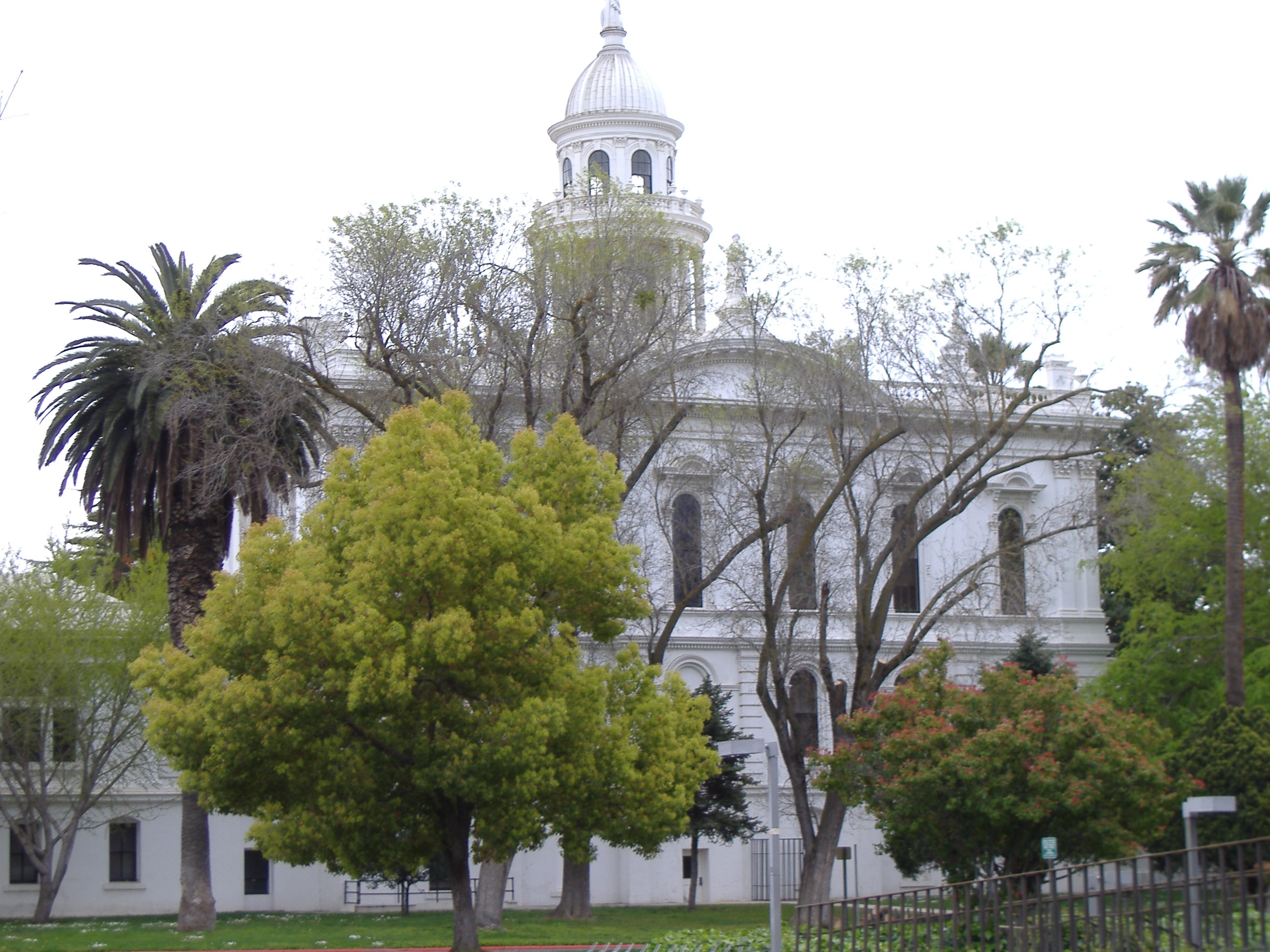
37°18′24″N 120°28′54″W / 37.306667°N 120.481667°WMerced 12 Merced Theatre 
May 1, 2009 301 W. 17th St.
37°18′03″N 120°28′50″W / 37.300736°N 120.480531°WMerced 13 San Luis Gonzaga Archeological District May 7, 1973 Address Restricted Los Banos 14 Tioga Hotel 
October 3, 1980 1715 N St.
37°18′08″N 120°29′08″W / 37.302222°N 120.485556°WMerced 15 U.S. Post Office February 10, 1983 401 W. 18th St.
37°18′08″N 120°28′50″W / 37.302222°N 120.480556°WMerced See also
- National Register of Historic Places listings in California
- List of National Historic Landmarks in California
References
- ^ The latitude and longitude information provided in this table was derived originally from the National Register Information System, which has been found to be fairly accurate for about 99% of listings. For about 1% of NRIS original coordinates, experience has shown that one or both coordinates are typos or otherwise extremely far off; some corrections may have been made. A more subtle problem causes many locations to be off by up to 150 yards, depending on location in the country: most NRIS coordinates were derived from tracing out latitude and longitudes off of USGS topographical quadrant maps created under the North American Datum of 1927, which differs from the current, highly accurate WGS84 GPS system used by Google maps. Chicago is about right, but NRIS longitudes in Washington are higher by about 4.5 seconds, and are lower by about 2.0 seconds in Maine. Latitudes differ by about 1.0 second in Florida. Some locations in this table may have been corrected to current GPS standards.
- ^ "National Register of Historic Places: Weekly List Actions". National Park Service, United States Department of the Interior. Retrieved on November 10, 2011.
- ^ Numbers represent an ordering by significant words. Various colorings, defined here, differentiate National Historic Landmark sites and National Register of Historic Places Districts from other NRHP buildings, structures, sites or objects.
- ^ "National Register Information System". National Register of Historic Places. National Park Service. . http://nrhp.focus.nps.gov/natreg/docs/All_Data.html.
U.S. National Register of Historic Places Topics Lists by states Alabama • Alaska • Arizona • Arkansas • California • Colorado • Connecticut • Delaware • Florida • Georgia • Hawaii • Idaho • Illinois • Indiana • Iowa • Kansas • Kentucky • Louisiana • Maine • Maryland • Massachusetts • Michigan • Minnesota • Mississippi • Missouri • Montana • Nebraska • Nevada • New Hampshire • New Jersey • New Mexico • New York • North Carolina • North Dakota • Ohio • Oklahoma • Oregon • Pennsylvania • Rhode Island • South Carolina • South Dakota • Tennessee • Texas • Utah • Vermont • Virginia • Washington • West Virginia • Wisconsin • WyomingLists by territories Lists by associated states Other Municipalities and communities of Merced County, California Cities 
CDPs Ballico | Bear Creek | Cressey | Delhi | Dos Palos Y | El Nido | Franklin | Hilmar-Irwin | Le Grand | McSwain | Planada | Santa Nella | Snelling | South Dos Palos | Stevinson | Tuttle | University of California Merced | Volta | Winton
Unincorporated
communitiesAmsterdam | Arena | Athlone | Brito | Buhach | Calpack | Castle Gardens | Cortez | Fergus | Fluhr | Hamburg Farms | Hilmar | Hopeton | Ingomar | Irwin | Kadota | Lingard | Merced Falls | Plainsburg | Santa Rita Park | The Grove | Trent
Ghost towns Abbato | Agatha | Aladdin | Alcant | Alexandria | Arundel | Bellevue | Brickville | Burchell | Central Point | Charleston | Chester | Colony Center | Cuba | Dickenson | Edendale | Elgin | Ferrin | Gadwall | Gracey | Gwin | Hoff | La Branza | Linora | Marguerite | Nairn | Ortigalito | Plainsburg | Sturgeon | Tenger | Union | Yam
Categories:- History of Merced County, California
- History of the San Joaquin Valley Area
- Merced County, California
- National Register of Historic Places in California by county
- Lists of National Register of Historic Places in California
-


Wikimedia Foundation. 2010.