- National Register of Historic Places listings in Milton, Massachusetts
-
This is a list of properties and historic districts in Milton, Massachusetts that are listed on the National Register of Historic Places.
The locations of National Register properties and districts (at least for all showing latitude and longitude coordinates below) may be seen in a Google map by clicking on "Map of all coordinates".[1]
-
- This National Park Service list is complete through NPS recent listings posted November 10, 2011.[2]
Current listings
[3] Landmark name Image Date listed Location Summary 1 Belcher-Rowe House 
April 1, 1982 26 Governor Belcher Lane
42°15′34″N 71°2′58″W / 42.25944°N 71.04944°W2 G.H. Bent Company Factory 
February 10, 2000 7 Pleasant St.
42°14′42″N 71°4′10″W / 42.245°N 71.06944°W3 Blue Hills Headquarters 
September 25, 1980 Hillside St.
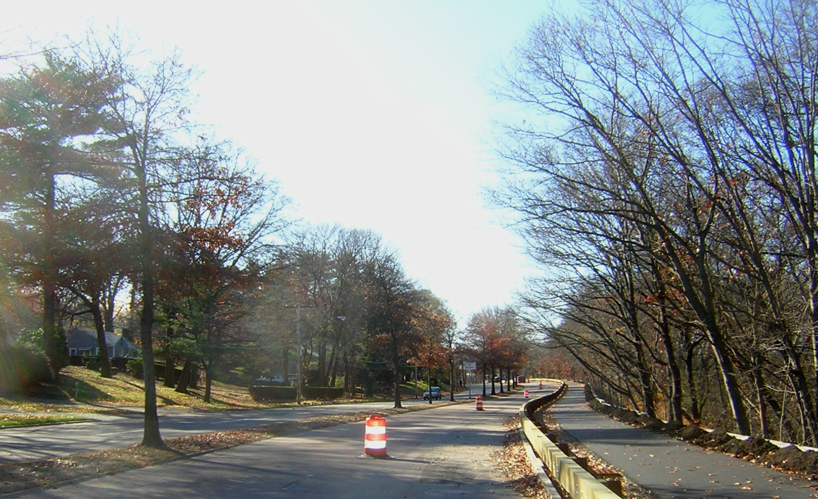
42°12′56″N 71°5′35″W / 42.21556°N 71.09306°W4 Blue Hills Reservation Parkways-Metropolitan Park System of Greater Boston 
August 11, 2003 Parts of Blue Hill Rd., Chickatawbut Rd., Hillside St., Uniquity Rd., Wampatuck Rd., and Green St.
42°13′34″N 71°4′20″W / 42.22611°N 71.07222°WExtends into Quincy and into Braintree and Canton, elsewhere in Norfolk County 5 Blue Hills Parkway 
June 23, 2003 Blue Hills Parkway, Milton
42°15′21″N 71°5′38″W / 42.25583°N 71.09389°W6 Brookwood Farm 
September 25, 1980 Off Hillside Street
42°12′34″N 71°6′41″W / 42.20944°N 71.11139°WExtends into Canton, elsewhere in Norfolk County 7 Brush Hill Historic District 
August 20, 1998 Roughly Brush Hill Rd., from Robbins St. to Bradlee Rd., and Dana Ave., Brush Hill Ln. and Fairmount Ave.
42°14′45″N 71°6′35″W / 42.24583°N 71.10972°W8 Comfort Station 
September 25, 1980 Blue Hill Ave.
42°13′9″N 71°7′6″W / 42.21917°N 71.11833°W9 Dorchester-Milton Lower Mills Industrial District 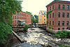
April 2, 1980 Both sides of the Neponset River; also Adams, River, and Medway Sts., Millers Lane, and Eliot and Adams Sts.
42°16′16″N 71°4′8″W / 42.27111°N 71.06889°WExtends into Boston in Suffolk County; Second set of addresses represents a boundary increase 10 Eliot Memorial Bridge 
September 25, 1980 Milton
42°12′42″N 71°6′49″W / 42.21167°N 71.11361°W11 Capt. Robert B. Forbes House 
November 13, 1966 215 Adams St.
42°15′47″N 71°3′49″W / 42.26306°N 71.06361°WNational Historic Landmark[4] 12 Great Blue Hill Observation Tower 
September 25, 1980 Milton
42°12′43″N 71°6′49″W / 42.21194°N 71.11361°W13 Great Blue Hill Weather Observatory 
September 25, 1980 Milton
42°12′42″N 71°6′55″W / 42.21167°N 71.11528°WA National Historic Landmark as "Blue Hill Meteorological Observatory"[4] 14 Dr. Amos Holbrook House 
February 13, 1975 203 Adams St.
42°15′55″N 71°3′59″W / 42.26528°N 71.06639°W15 Gov. Thomas Hutchinson's Ha-ha 
February 13, 1975 100 and 122 Randolph Ave.
42°15′55″N 71°4′6″W / 42.26528°N 71.06833°W16 Massachusetts Hornfels-Braintree Slate Quarry 
September 25, 1980 Address Restricted 17 Metropolitan District Commission Stable 
September 25, 1980 Hillside St.
42°12′56″N 71°5′33″W / 42.21556°N 71.0925°W18 Milton Cemetery 
June 2, 2004 211 Centre St.
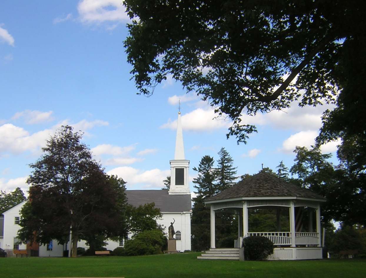
42°15′23.6″N 71°3′55.3″W / 42.256556°N 71.065361°W19 Milton Centre Historic District 
April 28, 1988 Canton Ave. between Reedsdale Rd. and Thacher and Highland Sts.
42°15′12″N 71°4′47″W / 42.25333°N 71.07972°W20 Milton Hill Historic District 
June 9, 1995 Roughly bounded by Adams and School Sts., Randolph and Canton Aves., and Brook Rd.
42°15′52″N 71°3′59″W / 42.26444°N 71.06639°W21 Neponset Valley Parkway, Metropolitan Park System of Greater Boston 
January 24, 2005 Neponset Valley Parkway
42°14′5″N 71°7′26″W / 42.23472°N 71.12389°WExtends into Boston in Suffolk County 22 Paul's Bridge 
December 11, 1972 Neponset Valley Parkway over the Neponset River
42°14′4″N 71°7′21″W / 42.23444°N 71.1225°WExtends into Boston in Suffolk County 23 Railway Village Historic District 
March 6, 2000 Roughly along Adams St., from Mechanic and Church Sts., and Washington St.
42°15′26.9″N 71°2′14.2″W / 42.257472°N 71.037278°W24 Refreshment Pavilion 
September 25, 1980 Hillside St.
42°12′31″N 71°5′52″W / 42.20861°N 71.09778°W25 Scott's Woods Historic District 
November 5, 1992 Hillside St. between Randolph Ave. and MDC Blue Hills Reservation
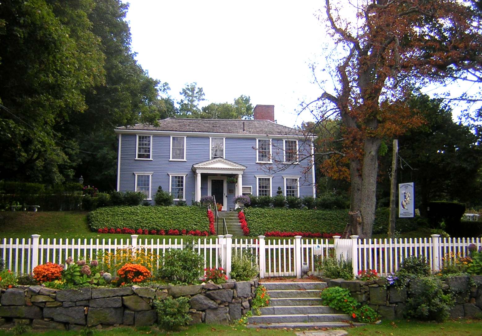
42°13′27″N 71°4′50″W / 42.22417°N 71.08056°W26 Suffolk Resolves House 
July 23, 1973 1370 Canton Ave.
42°14′3″N 71°6′32″W / 42.23417°N 71.10889°W27 Truman Parkway-Metropolitan Park System of Greater Boston 
January 5, 2005 Truman Parkway
42°14′53″N 71°6′59″W / 42.24806°N 71.11639°WExtends into Boston in Suffolk County 28 US Post Office-Milton Main 
May 30, 1986 499 Adams St.
42°15′30″N 71°2′34″W / 42.25833°N 71.04278°WReferences
- ^ The latitude and longitude information provided in this table was derived originally from the National Register Information System, which has been found to be fairly accurate for about 99% of listings. For about 1% of NRIS original coordinates, experience has shown that one or both coordinates are typos or otherwise extremely far off; some corrections may have been made. A more subtle problem causes many locations to be off by up to 150 yards, depending on location in the country: most NRIS coordinates were derived from tracing out latitude and longitudes off of USGS topographical quadrant maps created under North American Datum of 1927, which differs from the current, highly accurate GPS system used by Google maps. Chicago is about right, but NRIS longitudes in Washington are higher by about 4.5 seconds, and are lower by about 2.0 seconds in Maine. Latitudes differ by about 1.0 second in Florida. Some locations in this table may have been corrected to current GPS standards.
- ^ "National Register of Historic Places: Weekly List Actions". National Park Service, United States Department of the Interior. Retrieved on November 10, 2011.
- ^ Numbers represent an ordering by significant words. Various colorings, defined here, differentiate National Historic Landmark sites and National Register of Historic Places Districts from other NRHP buildings, structures, sites or objects.
- ^ a b "Listing of National Historic Landmarks by State: Massachusetts". National Park Service. 2009-10-06. http://www.nps.gov/history/nhl/designations/Lists/MA01.pdf.
U.S. National Register of Historic Places Topics Lists by states Alabama • Alaska • Arizona • Arkansas • California • Colorado • Connecticut • Delaware • Florida • Georgia • Hawaii • Idaho • Illinois • Indiana • Iowa • Kansas • Kentucky • Louisiana • Maine • Maryland • Massachusetts • Michigan • Minnesota • Mississippi • Missouri • Montana • Nebraska • Nevada • New Hampshire • New Jersey • New Mexico • New York • North Carolina • North Dakota • Ohio • Oklahoma • Oregon • Pennsylvania • Rhode Island • South Carolina • South Dakota • Tennessee • Texas • Utah • Vermont • Virginia • Washington • West Virginia • Wisconsin • WyomingLists by territories Lists by associated states Other Categories:- Milton, Massachusetts
- Lists of National Register of Historic Places listings in Massachusetts by populated place
-


Wikimedia Foundation. 2010.