- National Register of Historic Places listings in New Hanover County, North Carolina
-

This list includes properties and districts listed on the National Register of Historic Places in New Hanover County, North Carolina. Click the "Map of all coordinates" link to the right to view a Google map of all properties and districts with latitude and longitude coordinates in the table below.[1]
-
- This National Park Service list is complete through NPS recent listings posted November 10, 2011.[2]
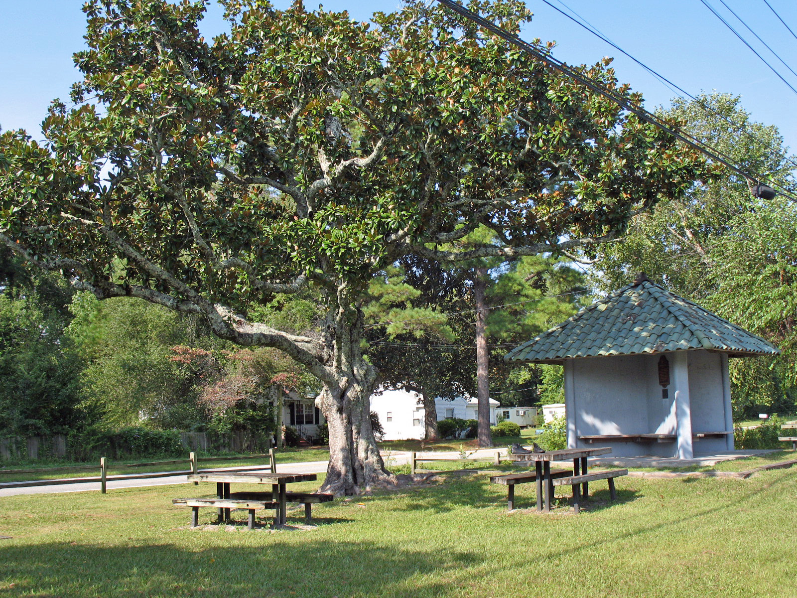
[3] Landmark name[4] Image Date listed Location City or Town Summary 1 Audubon Trolley Station 
August 5, 1993 Jct. of Park Ave. and Audubon Blvd.
34°12′55″N 77°53′47″W / 34.21528°N 77.89639°WWilmington 2 Bradley-Latimer Summer House July 20, 1987 S side SR 1411 E of jct. with US 76
34°12′55″N 77°49′52″W / 34.21528°N 77.83111°WWrightsville Beach 3 Cape Fear Civil War Shipwreck Discontiguous District December 23, 1985 Address Restricted Kure Beach, Wrightsville Beach and Wilmington Beach 4 Carolina Heights Historic District July 29, 1999 Roughly bounded by Market St., Thirteenth St., Rankin St. and Nineteenth St.; also the 1200 block of Market St. and the 100 and 200 blocks of N. 13th St.
34°14′21″N 77°55′44″W / 34.23917°N 77.92889°WWilmington Second set of addresses represents a boundary increase of November 30, 1999 5 Carolina Place Historic District August 31, 1992 Bounded by Market St., Wallace Park, Gibson Ave., Wrightsville Ave. and S. Eighteenth St.
34°14′6″N 77°55′24″W / 34.235°N 77.92333°WWilmington 6 City Hall/Thalian Hall 
April 3, 1970 100 N. 3rd. St.
34°14′14″N 77°56′48″W / 34.23722°N 77.94667°WWilmington 7 Delgrado School October 20, 2001 1930 Colwell Ave.
34°13′45″N 77°55′21″W / 34.22917°N 77.9225°WWilmington 8 Federal Building and Courthouse 
May 2, 1974 N. Water between Market and Princess St.
34°14′7″N 77°57′0″W / 34.23528°N 77.95°WWilmington 9 Fort Fisher 
October 15, 1966 18 miles S of Wilmington on U.S. 421
33°57′57″N 77°55′37″W / 33.96583°N 77.92694°WWilmington 10 Gabriel's Landing May 7, 2008 1005 Airlie Rd. Wilmington 11 Homesite (31Nh95**1) March 13, 1997 Address Restricted Carolina Beach 12 William Hooper School (Former) 
March 12, 1998 410 Meares St.
34°13′17″N 77°56′34″W / 34.22139°N 77.94278°WWilmington 13 Joy Lee Apartment Building and Annex April 3, 1997 317 Carolina Beach Ave., N.
34°2′14″N 77°53′30″W / 34.03722°N 77.89167°WCarolina Beach 14 Market Street Mansion District 
April 21, 1975 1704, 1705, 1710, and 1713 Market St.
34°14′12″N 77°55′38″W / 34.23667°N 77.92722°WWilmington 15 Masonboro Sound Historic District October 22, 1992 E side Magnolia Dr. and 7301-7601, 7424 and 7506 Masonboro Sound Rd.
34°10′40″N 77°50′45″W / 34.17778°N 77.84583°WWilmington 16 Mount Lebanon Chapel and Cemetery October 16, 1986 SR 1411
34°12′50″N 77°49′35″W / 34.21389°N 77.82639°WWrightsville Beach 17 Newton Homesite and Cemetery March 13, 1997 Address Restricted Carolina Beach 18 Sunset Park Historic District 
December 10, 2003 Roughly bounded by Carolina Beach Rd., Southern Blvd., Burnett Blvd., and Sunset Ave.
34°12′14″N 77°56′45″W / 34.20389°N 77.94583°WWilmington 19 Tinga Nursery October 4, 2000 US 117, 0.62 miles N of jct. with NC 132
34°17′55″N 77°55′4″W / 34.29861°N 77.91778°WWrightsboro 20 USS NORTH CAROLINA (BB-55) National Historic Landmark 
November 10, 1982 W bank of the Cape Fear River
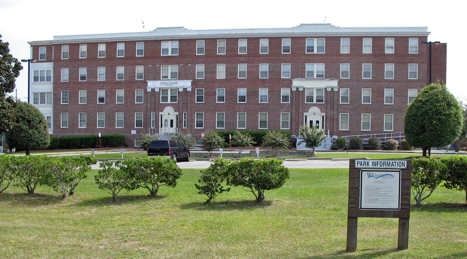
34°14′11.42″N 77°57′15.96″W / 34.2365056°N 77.9544333°WWilmington 21 U.S.S. PETERHOFF August 6, 1975 Address Restricted Fort Fisher 22 James Walker Nursing School Quarters 
July 20, 1989 1020 Rankin St.
34°14′27″N 77°56′11″W / 34.24083°N 77.93639°WWilmington 23 Westbrook-Ardmore Historic District February 5, 2009 Bounded by Dock St., Wrightsville Ave., Queen and Lingo Sts., and by S. 14th St.
34°13′55.26″N 77°55′39.59″W / 34.2320167°N 77.9276639°WWilmington 24 Wilmington Historic and Archeological District May 6, 1974 Roughly bounded by Wright, S. 7th, and Harnett Sts., and N/S line 100 yds. W of North East Cape Fear River; also roughly bounded by Harnett, 7th, 3rd, and Howard, Campbell, 9th, 12th, and Princess, Dock, Castle 8th, and 14th, and 9th, Wright, and Greenfield
34°14′6″N 77°57′3″W / 34.235°N 77.95083°WWilmington Second set of boundaries represents a boundary increase of May 1, 2003, the Wilmington Historic District 25 Wilmington National Cemetery 
January 31, 1997 2011 Market St.
34°14′16″N 77°55′33″W / 34.23778°N 77.92583°WWilmington See also
- National Register of Historic Places listings in North Carolina
- List of National Historic Landmarks in North Carolina
References
- ^ The latitude and longitude information provided in this table was derived originally from the National Register Information System, which has been found to be fairly accurate for about 99% of listings. For about 1% of NRIS original coordinates, experience has shown that one or both coordinates are typos or otherwise extremely far off; some corrections may have been made. A more subtle problem causes many locations to be off by up to 150 yards, depending on location in the country: most NRIS coordinates were derived from tracing out latitude and longitudes off of USGS topographical quadrant maps created under North American Datum of 1927, which differs from the current, highly accurate GPS system used by Google maps. Chicago is about right, but NRIS longitudes in Washington are higher by about 4.5 seconds, and are lower by about 2.0 seconds in Maine. Latitudes differ by about 1.0 second in Florida. Some locations in this table may have been corrected to current GPS standards.
- ^ "National Register of Historic Places: Weekly List Actions". National Park Service, United States Department of the Interior. Retrieved on November 10, 2011.
- ^ Numbers represent an ordering by significant words. Various colorings, defined here, differentiate National Historic Landmark sites and National Register of Historic Places Districts from other NRHP buildings, structures, sites or objects.
- ^ "National Register Information System". National Register of Historic Places. National Park Service. 2008-04-24. http://nrhp.focus.nps.gov/natreg/docs/All_Data.html.
U.S. National Register of Historic Places Topics Lists by states Alabama • Alaska • Arizona • Arkansas • California • Colorado • Connecticut • Delaware • Florida • Georgia • Hawaii • Idaho • Illinois • Indiana • Iowa • Kansas • Kentucky • Louisiana • Maine • Maryland • Massachusetts • Michigan • Minnesota • Mississippi • Missouri • Montana • Nebraska • Nevada • New Hampshire • New Jersey • New Mexico • New York • North Carolina • North Dakota • Ohio • Oklahoma • Oregon • Pennsylvania • Rhode Island • South Carolina • South Dakota • Tennessee • Texas • Utah • Vermont • Virginia • Washington • West Virginia • Wisconsin • WyomingLists by territories Lists by associated states Other Municipalities and communities of New Hanover County, North Carolina City 
Towns CDPs Bayshore | Castle Hayne | Hightsville | Kings Grant | Kirkland | Masonboro | Murraysville | Myrtle Grove | Ogden | Sea Breeze | Seagate | Silver Lake | Skippers Corner | Wrightsboro
Categories:- New Hanover County, North Carolina
- National Register of Historic Places in North Carolina
- Buildings and structures in New Hanover County, North Carolina
-


Wikimedia Foundation. 2010.