- National Register of Historic Places listings in North Side Chicago
-
For places listed on the National Register in the rest of Chicago, see National Register of Historic Places listings in Central Chicago, National Register of Historic Places listings in South Side Chicago or National Register of Historic Places listings in West Side Chicago, for Cook County, see National Register of Historic Places listings in Cook County, Illinois.
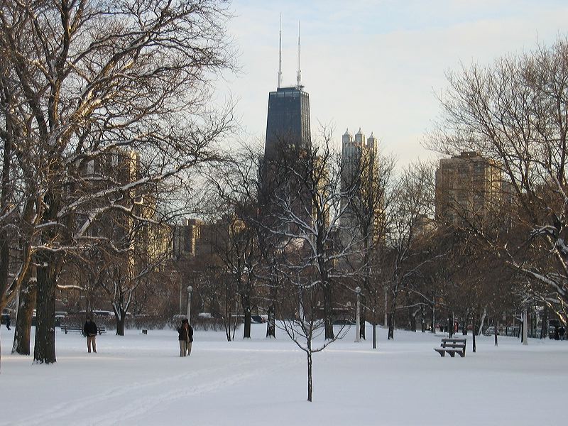
There are 81 sites in the National Register of Historic Places listings in North Side Chicago, out of 326 listings in the City of Chicago. The North Side is defined for this article as the area west of Lake Michigan, north of North Avenue (1600 N.) and east of the Chicago River plus the area north of Fullerton Avenue going west and north to the Chicago city limits.
Contents
Current listings
The listed properties are distributed across 20 of the 77 well-defined community areas of Chicago.
-
- This National Park Service list is complete through NPS recent listings posted November 10, 2011.[1]
[2] Landmark name Image Date listed Location Neighborhood Summary 1 Alta Vista Terrace Historic District 
March 16, 1972 Block bounded by W. Byron Street, W. Grace Street, N. Kenmore Avenue, and N. Seminary Avenue
41°56′59″N 87°39′26″W / 41.949722°N 87.657222°WLake View 1904 2 Anderson-Carlson Building 
November 15, 2005 2044-48 W. Farwell Avenue
42°00′31″N 87°40′58″W / 42.008611°N 87.682778°WWest Ridge 3 Andersonville Commercial Historic District 
March 9, 2010 4900-5800 N. Clark Street
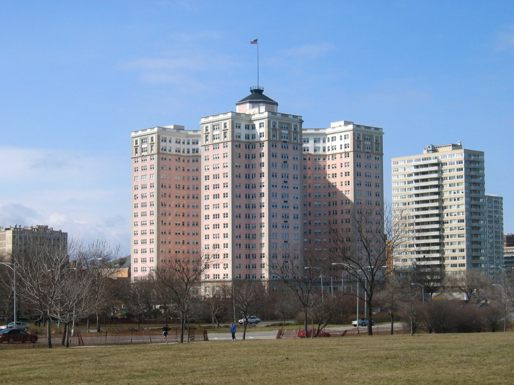
41°59′00″N 87°40′08″W / 41.983333°N 87.668889°WEdgewater 4 The Aquitania 
March 1, 2002 5000 N. Marine Drive
41°58′25″N 87°39′05″W / 41.973611°N 87.651389°WUptown 5 Emil Bach House 
January 23, 1979 7415 N. Sheridan Road
42°00′58″N 87°39′53″W / 42.016111°N 87.664722°WRogers Park 6 Balaban and Katz Uptown Theatre 
November 20, 1986 4814-4816 N. Broadway
41°58′11″N 87°39′38″W / 41.969722°N 87.660556°WUptown 7 Belden Stratford Hotel 
May 11, 1992 2300 N. Lincoln Park West
41°55′26″N 87°38′12″W / 41.923889°N 87.636667°WLincoln Park 8 Belmont-Sheffield Trust and Savings Bank Building 
March 1, 1984 1001 W. Belmont Avenue and 3146 N. Sheffield Avenue
41°56′23″N 87°39′17″W / 41.939722°N 87.654722°WLake View 9 Berger Park 
January 12, 2010 6205-6247 N. Sheridan Road
41°59′41″N 87°39′20″W / 41.994675°N 87.655494°WEdgewater 10 Best Brewing Company of Chicago Building 
July 30, 1987 1315-1317 W. Fletcher Street
41°56′19″N 87°39′42″W / 41.938611°N 87.661667°WLake View 11 Biograph Theater Building 
May 17, 1984 2433 N. Lincoln Avenue
41°55′35″N 87°38′57″W / 41.926389°N 87.649167°WLincoln Park 12 Bohemian National Cemetery 
May 11, 2006 5255 N. Pulaski Road
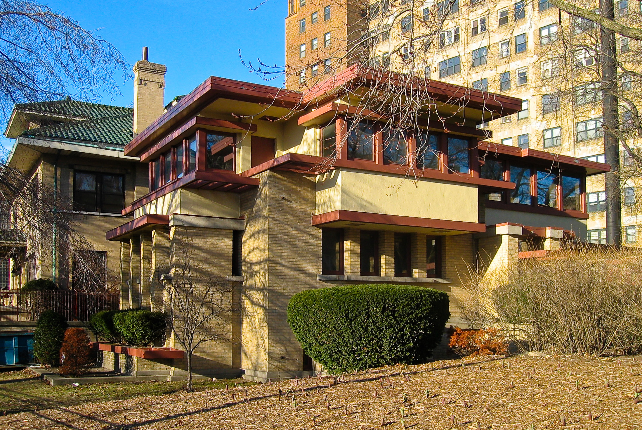
41°58′45″N 87°43′27″W / 41.979167°N 87.724167°WNorth Park 13 Roger Brown Home and Studio February 22, 2011 1926 N. Halsted St.
41°55′01″N 87°38′56″W / 41.916944°N 87.648889°WLincoln Park 14 Bryn Mawr Avenue Historic District 
April 20, 1995 W. Bryn Mawr Avenue from N. Sheridan Road to N. Broadway
41°59′02″N 87°39′22″W / 41.983889°N 87.656111°WEdgewater 15 Buena Park Historic District 
July 13, 1984 Roughly bounded by Graceland Cemetery, N. Marine Drive, W. Irving Park Road, & W. Montrose Avenue
41°57′29″N 87°39′06″W / 41.958056°N 87.651667°WUptown 16 Building at 399 West Fullerton Parkway 
May 22, 2007 399 W. Fullerton Parkway
41°55′31″N 87°38′21″W / 41.925278°N 87.639167°WLincoln Park 17 Building at 5510 North Sheridan 
August 8, 2001 5510 N. Sheridan Road
41°58′57″N 87°39′20″W / 41.9825°N 87.655556°WEdgewater 18 Castlewood Terrace 
September 3, 2009 819-959 W. Castlewood Terrace
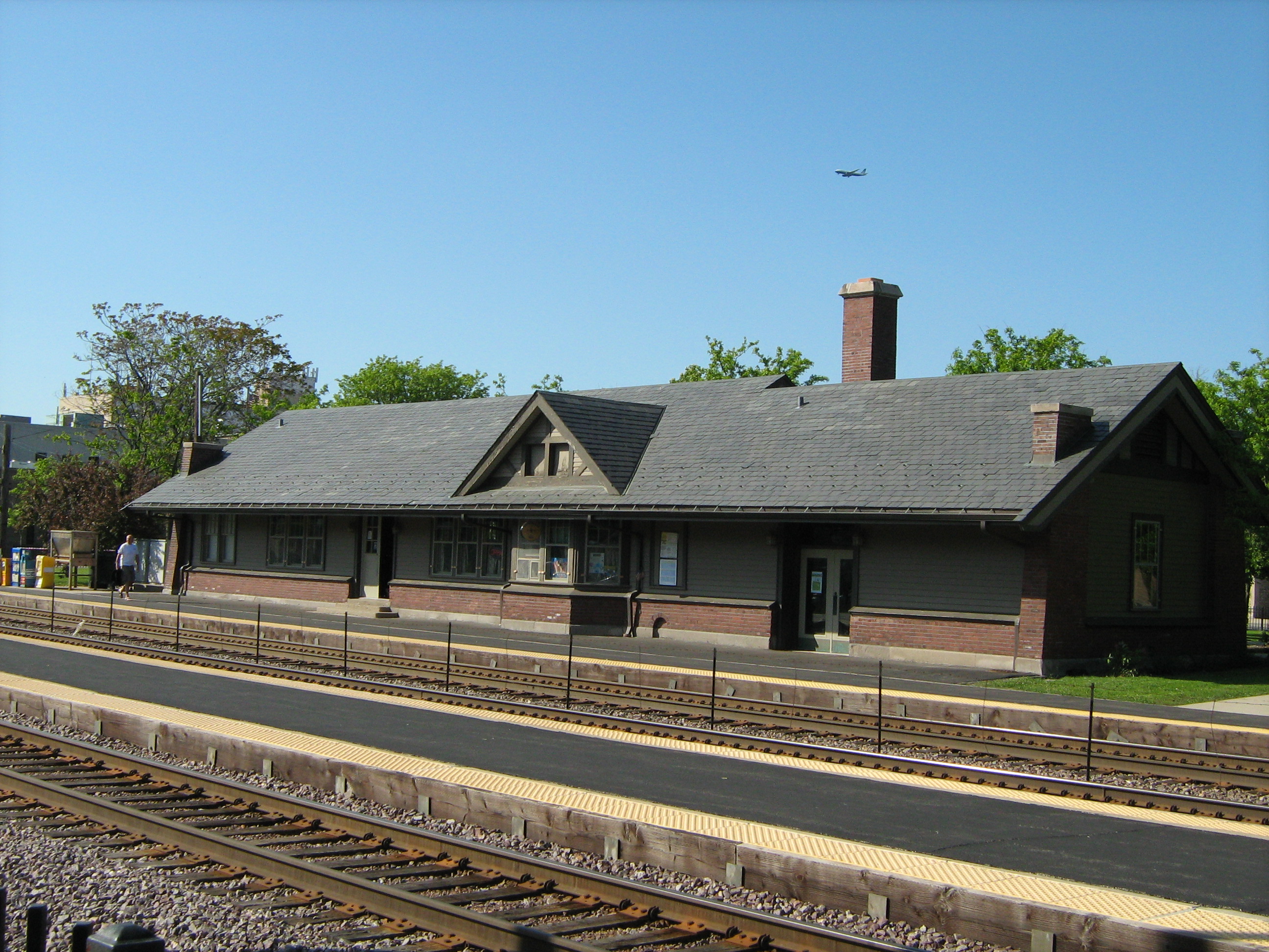
41°58′14″N 87°39′06″W / 41.970556°N 87.651667°WUptown 19 Chicago and North Western Railroad Depot 
February 9, 2001 6088 N. Northwest Highway
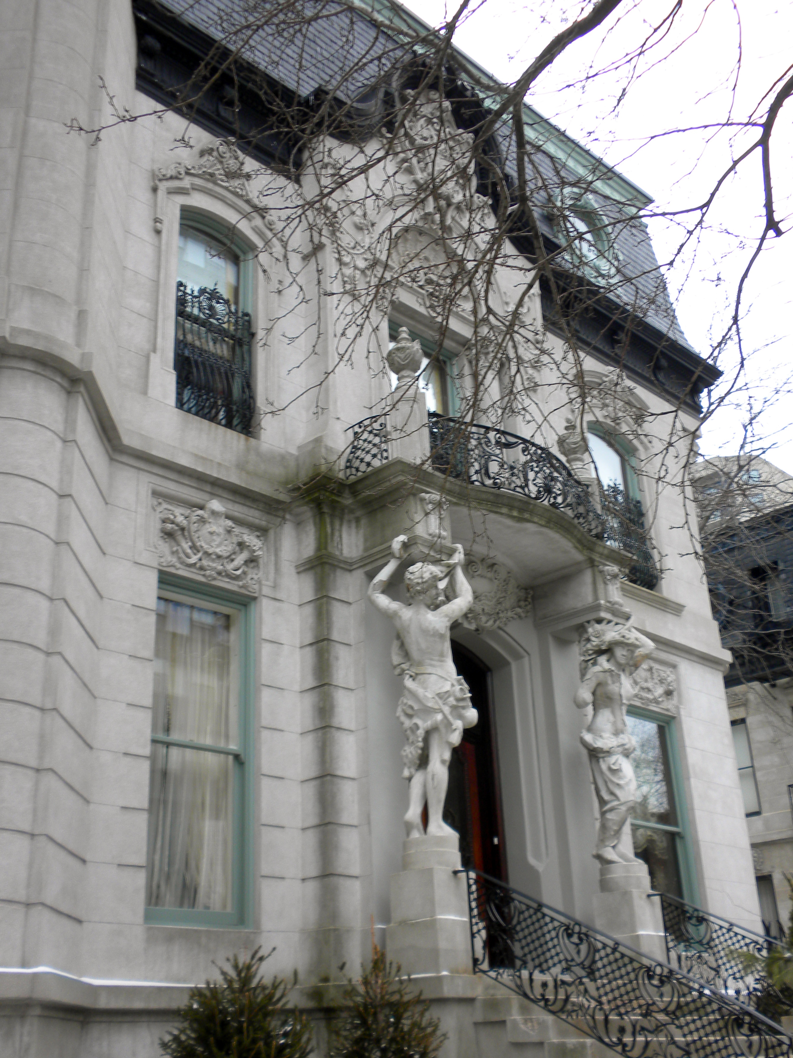
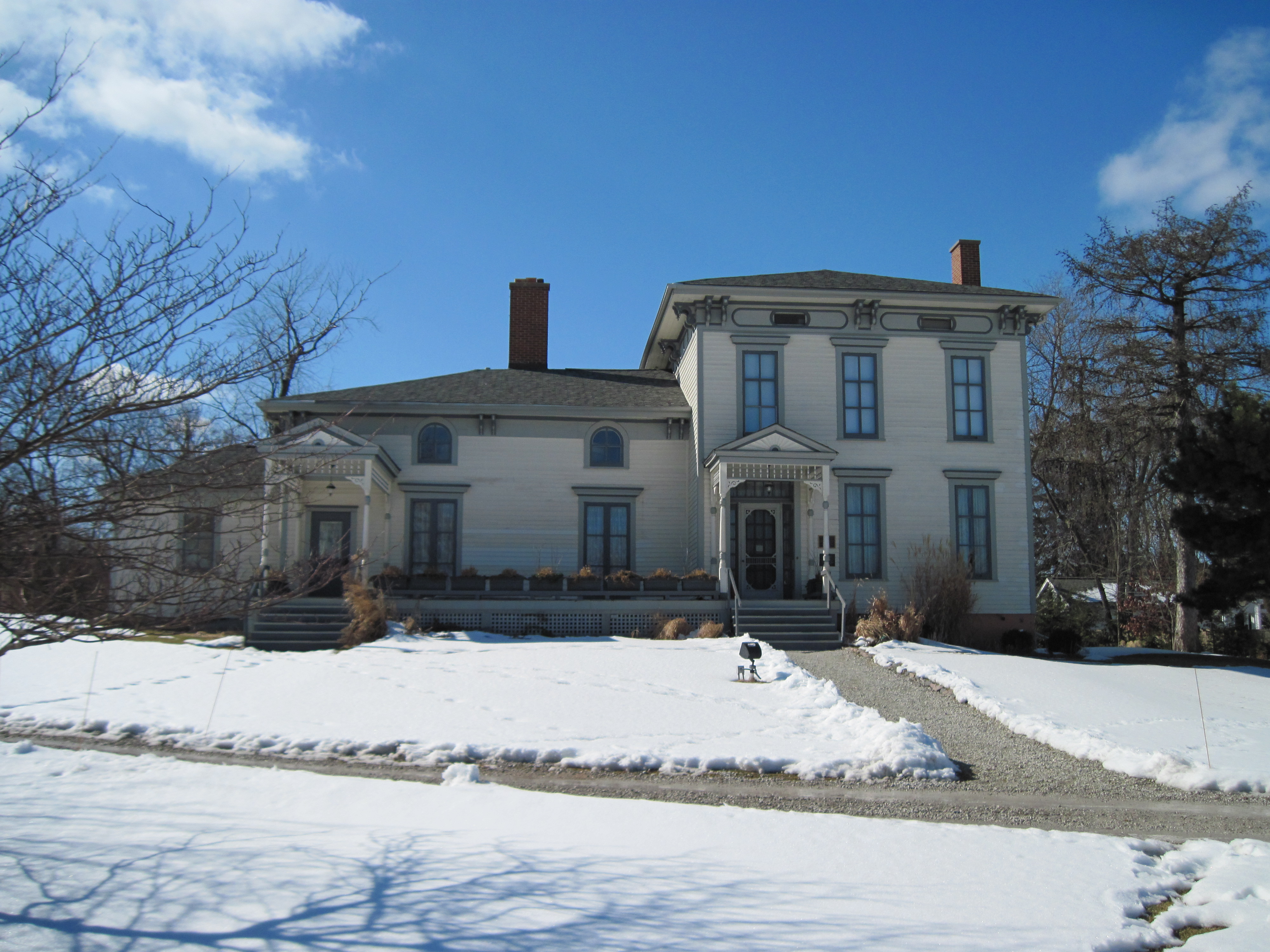
41°59′30″N 87°47′56″W / 41.991667°N 87.798889°WNorwood Park 20 Francis J. Dewes House 
August 14, 1973 503 W. Wrightwood Avenue
41°55′50″N 87°38′31″W / 41.930556°N 87.641944°WLincoln Park 21 East Ravenswood Historic District 
September 3, 1991 Roughly bounded by W. Lawrence Avenue, N. Clark Street, W. Irving Park Road and N. Ravenswood Avenue
41°57′37″N 87°40′09″W / 41.960278°N 87.669167°WLake View and Uptown 22 Edgewater Beach Apartments 
August 16, 1994 5555 N. Sheridan Road
41°59′01″N 87°39′17″W / 41.983611°N 87.654722°WEdgewater 23 Edison Park 
September 21, 2007 6755 N. Northwest Highway
42°00′14″N 87°49′03″W / 42.003889°N 87.8175°WEdison Park 24 Episcopal Church of the Atonement and Parish House 
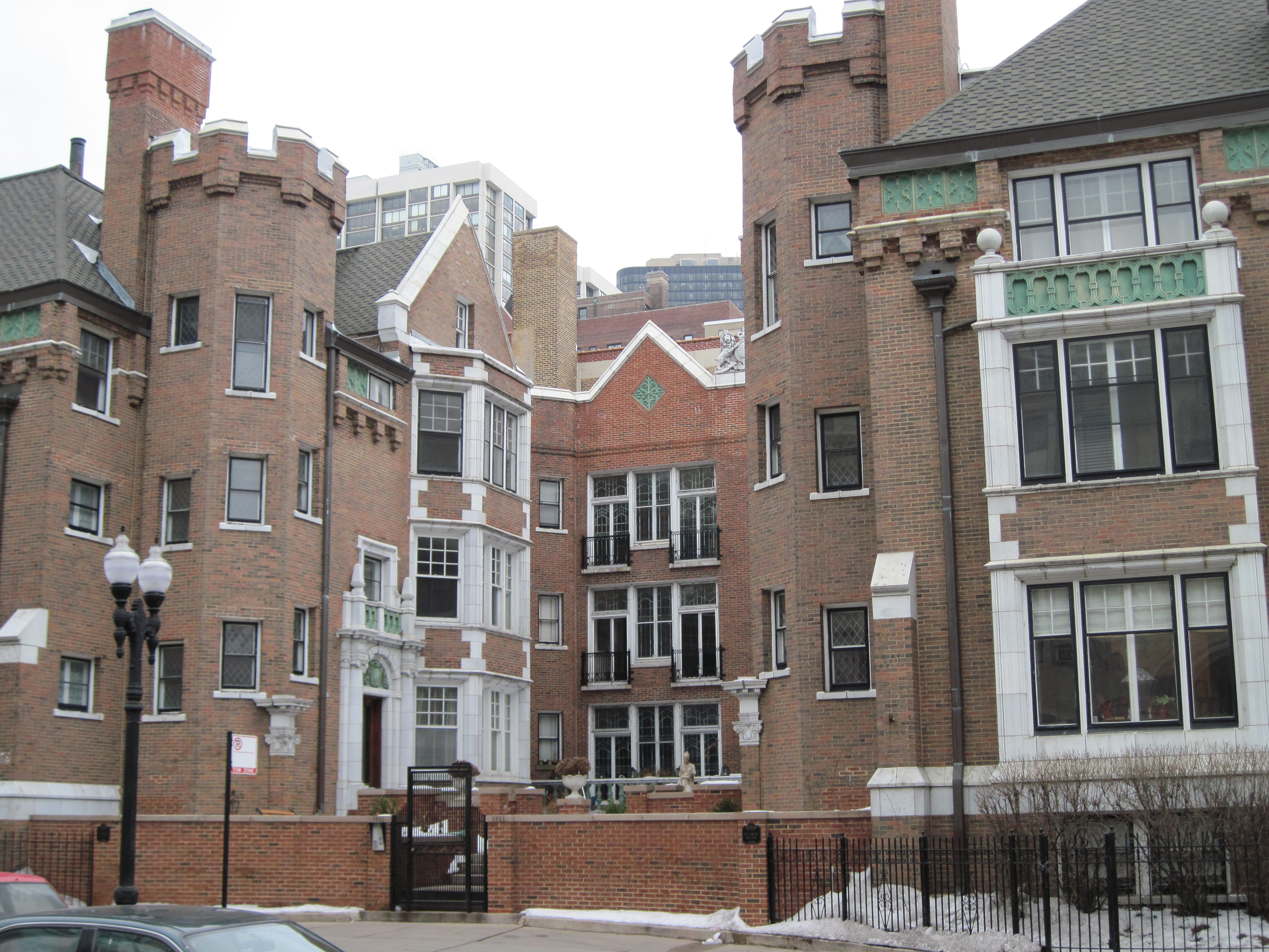
July 30, 2009 5751 N. Kenmore Avenue
41°59′12″N 87°39′24″W / 41.986717°N 87.656692°WEdgewater 25 Epworth Methodist Episcopal Church 
June 10, 2008 5253 N. Kenmore Avenue
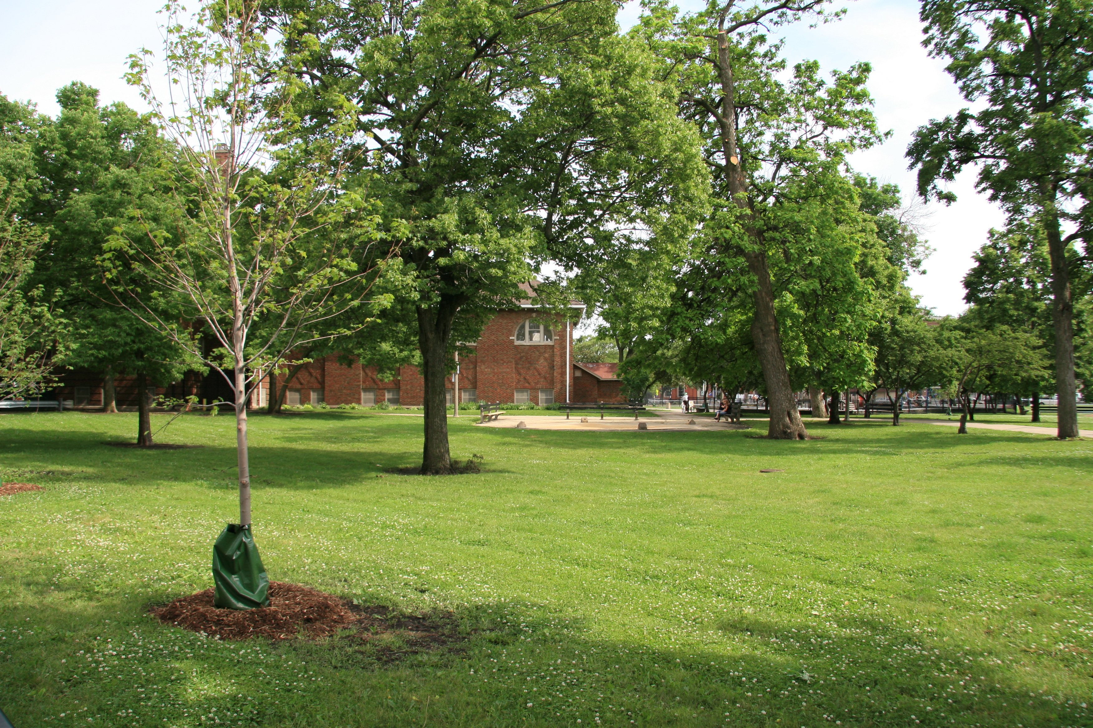
41°58′39″N 87°39′23″W / 41.977502°N 87.656415°WEdgewater 26 Eugene Field Park August 8, 2006 5100 N. Ridgeway Avenue
41°58′36″N 87°43′25″W / 41.976667°N 87.723611°WAlbany Park and North Park 27 Falconer Bungalow Historic District March 7, 2007 Roughly bounded by W. Wellington Avenue, N. Lamon Avenue, N. Laramie Avenue, and the alley north of W. Diversey Avenue
41°56′00″N 87°45′10″W / 41.933439°N 87.752758°WBelmont Cragin 28 John Gauler Houses 
June 17, 1977 5917-5921 N. Magnolia Avenue
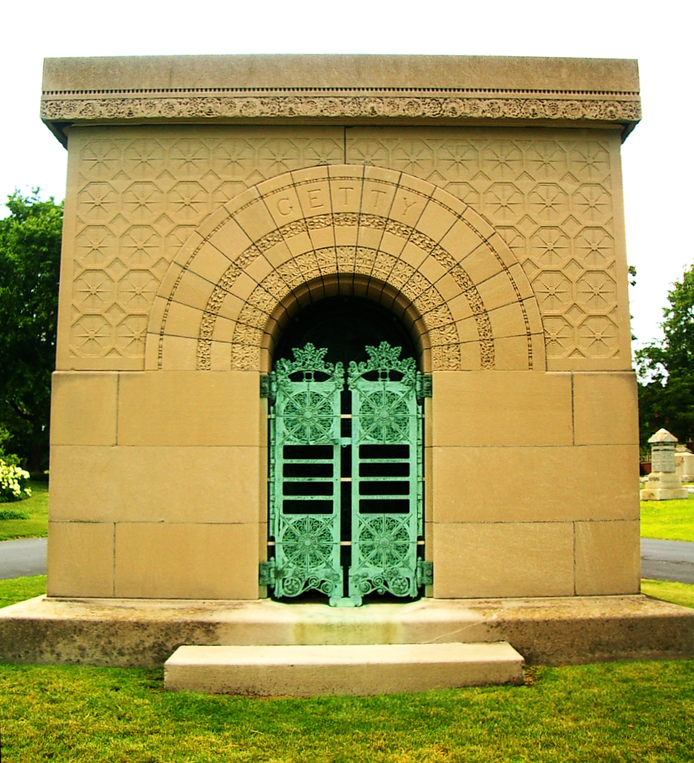
41°59′26″N 87°39′41″W / 41.990556°N 87.661389°WEdgewater 29 Getty Tomb 
February 15, 1974 Graceland Cemetery, N. Clark Street and W. Irving Park Road
41°57′40″N 87°39′41″W / 41.961111°N 87.661389°WUptown 30 Graceland Cemetery 
January 18, 2001 4001 N. Clark Street
41°57′28″N 87°39′50″W / 41.957778°N 87.663889°WUptown 31 Ann Halsted House 
August 17, 1973 440 W. Belden Avenue
41°55′26″N 87°38′25″W / 41.923889°N 87.640278°WLincoln Park 32 Hermitage Apartments 
February 14, 1985 4606 N. Hermitage Avenue
41°57′57″N 87°40′22″W / 41.965833°N 87.672778°WUptown 33 Immaculata High School 
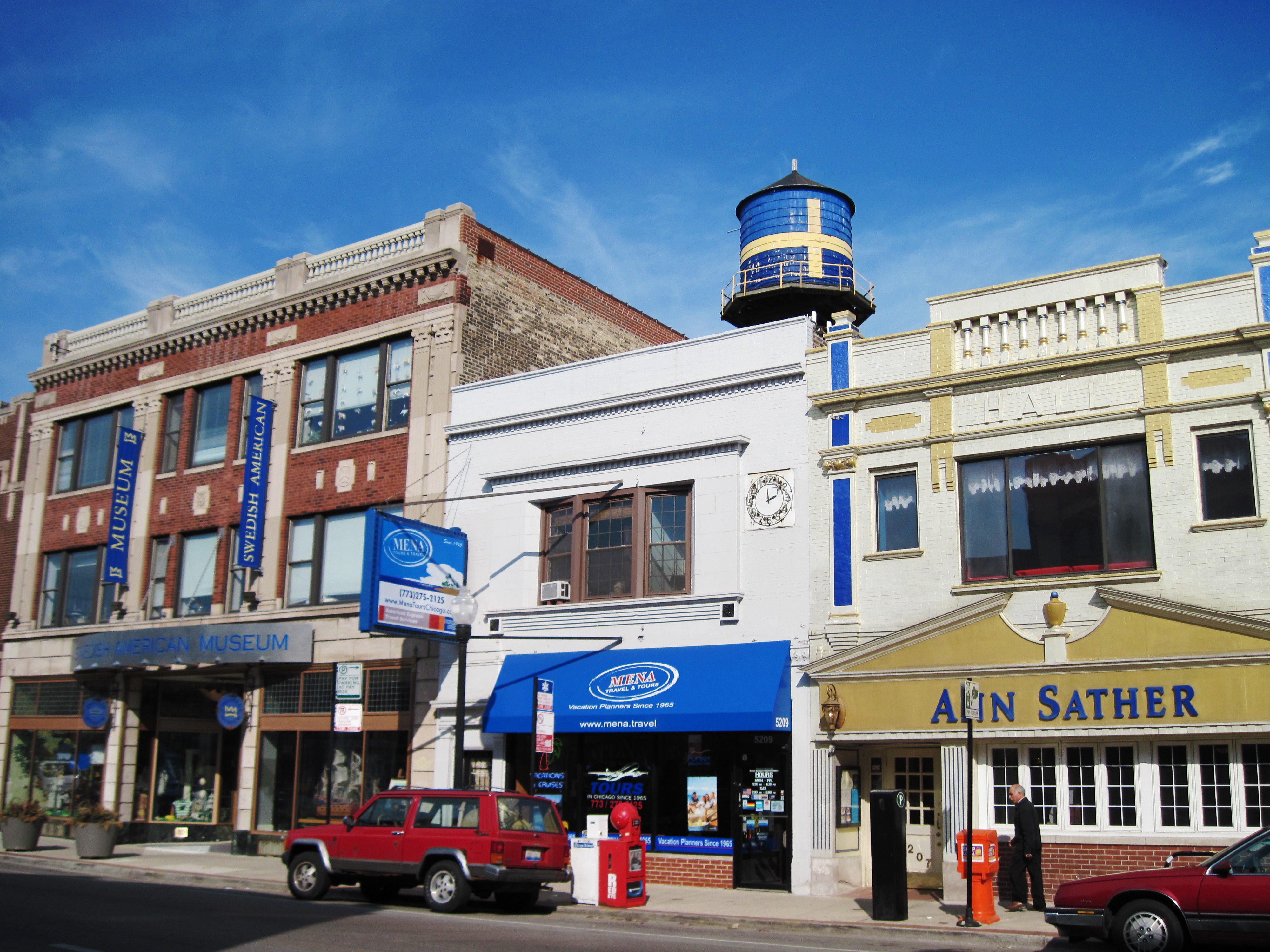
August 30, 1977 600 W. Irving Park Road
41°57′18″N 87°38′45″W / 41.955°N 87.645833°WUptown 34 Independence Park February 18, 2009 3945 N. Springfield Avenue
41°57′09″N 87°43′30″W / 41.952561°N 87.724925°WIrving Park 35 Indian Boundary Park 
April 20, 1995 2500 W. Lunt Avenue
42°00′34″N 87°41′36″W / 42.009444°N 87.693333°WWest Ridge 36 Jefferson Park 
August 8, 2006 4822 N. Long Avenue
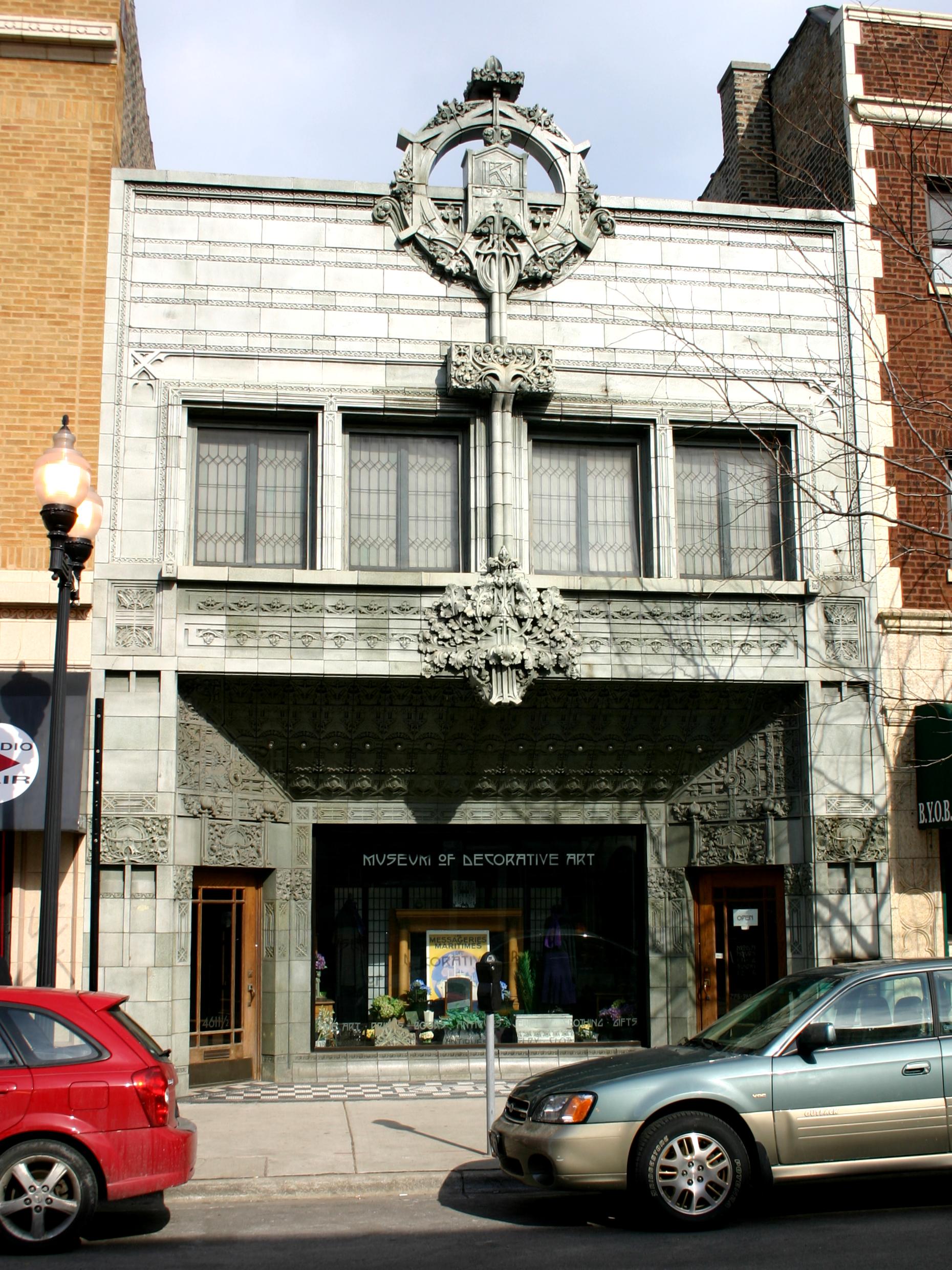
41°58′14″N 87°45′50″W / 41.970556°N 87.763889°WJefferson Park 37 Krause Music Store 
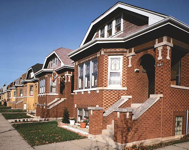
May 31, 2006 4611 N. Lincoln Avenue
41°58′02″N 87°41′10″W / 41.967222°N 87.686111°WLincoln Square 38 Lakeview Historic District 
September 15, 1977 Roughly bounded by W. Wrightwood Avenue, N. Lakeview Avenue, N. Sheridan Road, W. Belmont Avenue, N. Halsted Street, W. Wellington Avenue, N. Racine Avenue, and W. George Street; also 701, 705, 711, 715-717, 721, 733-735, 737, and 739 Belmont Avenue, 3162 and 3164 N. Orchard Street, and 3171 Halsted Street
41°56′06″N 87°38′56″W / 41.935°N 87.648889°WLake View and Lincoln Park Second set of boundaries represents a boundary increase of May 16, 1986 39 Lakewood Balmoral Historic District 
February 12, 1999 Bounded by N. Magnolia Avenue, N. Wayne Avenue, W. Foster Avenue, and W. Bryn Mawr Avenue
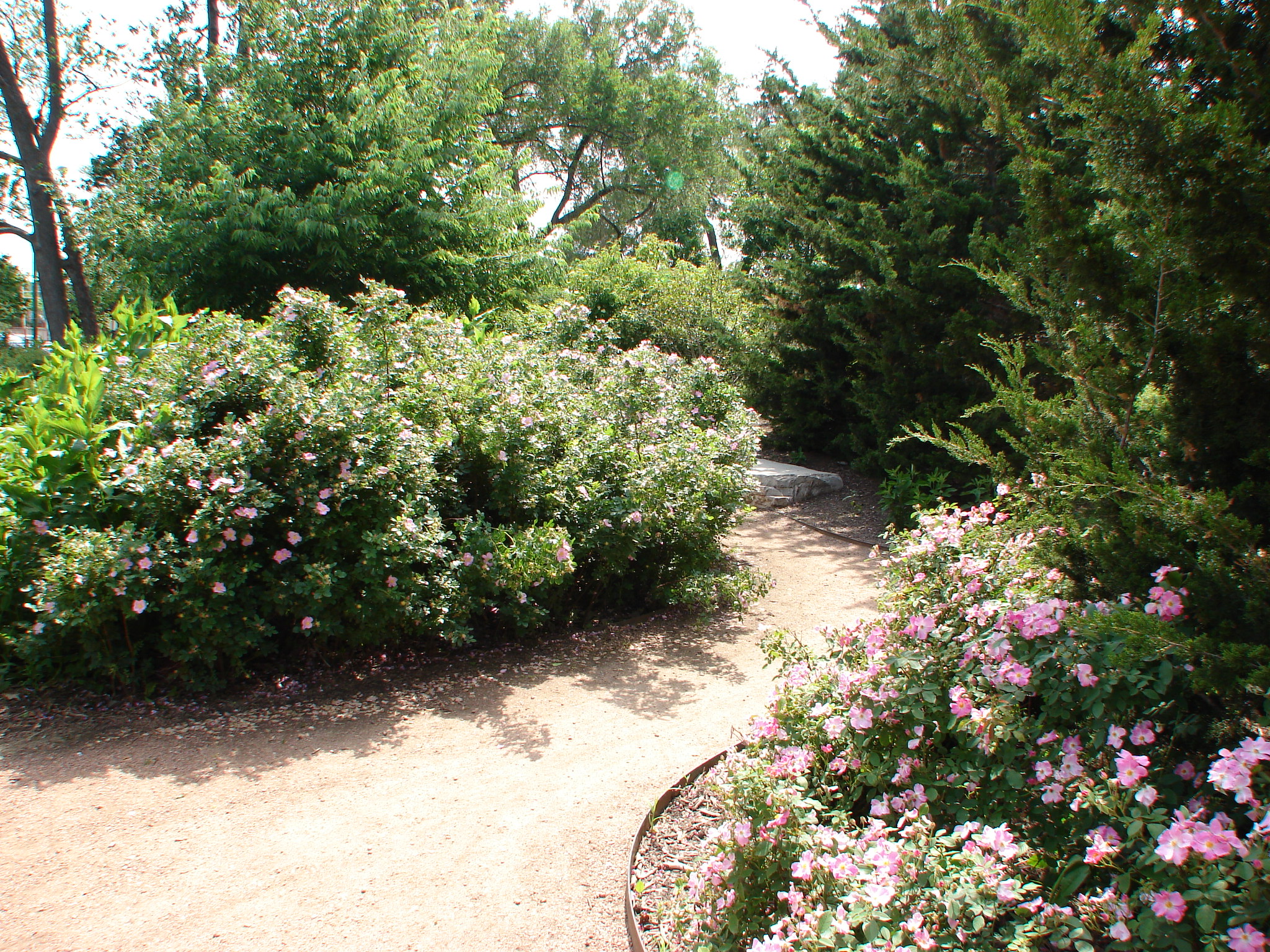
41°58′48″N 87°39′45″W / 41.98°N 87.6625°WEdgewater 40 Lincoln Park 
August 26, 1994 2045 N. Lincoln Park West
41°55′49″N 87°37′52″W / 41.930278°N 87.631111°WLincoln Park 41 Lincoln Park Lily Pool 
February 17, 2006 W. Fullerton Drive between N. Cannon Drive and N. Stockton Drive in Lincoln Park
41°55′30″N 87°38′02″W / 41.924933°N 87.633975°WLincoln Park 42 Lincoln Park, South Pond Refectory 
November 20, 1986 2021 N. Stockton Drive
41°55′09″N 87°38′02″W / 41.919167°N 87.633889°WLincoln Park 43 Logan Square Boulevards Historic District 
November 20, 1985 W. Logan Boulevard, Logan Square, N. Kedzie Boulevard, Palmer Square, and N. Humboldt Boulevard
41°55′12″N 87°41′58″W / 41.92°N 87.699444°WLogan Square Three boulevards connected by two parks, on both the North Side and West Side. 44 Charles N. Loucks House February 9, 1984 3926 N. Keeler Avenue
41°57′09″N 87°43′58″W / 41.9525°N 87.732778°WIrving Park 45 Malden Towers 
December 8, 1983 4521 N. Malden Street
41°57′51″N 87°39′43″W / 41.964167°N 87.661944°WUptown 46 Mandel Brothers Warehouse Building 
August 19, 1993 3254 N. Halsted Street
41°56′30″N 87°38′58″W / 41.941667°N 87.649444°WLake View 47 Manor House 
August 12, 1987 1021-1029 W. Bryn Mawr Avenue
41°59′01″N 87°39′22″W / 41.983611°N 87.656111°WEdgewater 48 Meekerville Historic District 
May 12, 2006 303 W. Barry Avenue, 325,303-341,344 W. Wellington Avenue, 340 W. Oakdale Avenue
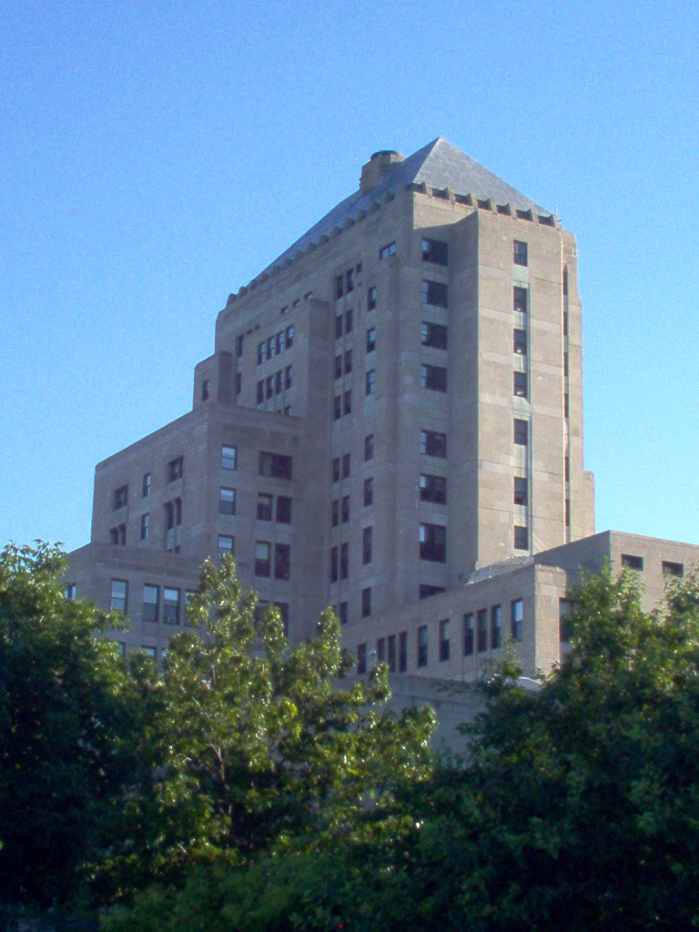
41°56′12″N 87°38′18″W / 41.936667°N 87.638333°WLake View 49 Mundelein College Skyscraper Building 
May 31, 1980 6363 N. Sheridan Road
41°59′54″N 87°39′25″W / 41.998333°N 87.656944°WRogers Park 50 Noble-Seymour-Crippen House 
August 10, 2000 5622-5624 N. Newark Avenue
41°59′02″N 87°47′43″W / 41.983889°N 87.795278°WNorwood Park 51 North Mayfair Bungalow Historic District 
February 1, 2006 Roughly bounded by W. Foster Avenue, N. Pulaski Road, N. Kilbourn Avenue, and W. Lawrence Avenue
41°58′19″N 87°44′08″W / 41.971944°N 87.735556°WAlbany Park 52 Northwestern Terra Cotta Company Building 
February 8, 1989 1701-1711 W. Terra Cotta Place
41°55′40″N 87°40′17″W / 41.927778°N 87.671389°WLincoln Park 53 Norwood Park Historical District 
November 21, 2002 Roughly bounded by N. Harlem Avenue, N. Nagle Avenue, W. Bryn Mawr Avenue, and N. Avondale Avenue
41°59′21″N 87°47′59″W / 41.989167°N 87.799722°WNorwood Park 54 Old Main Building 
February 11, 1982 3235 W. Foster Avenue on North Park College Campus
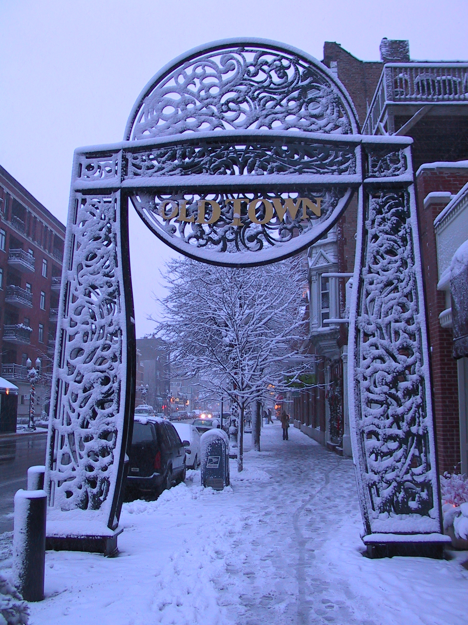
41°58′30″N 87°42′36″W / 41.975°N 87.71°WNorth Park 55 Old Town Triangle Historic District 
November 8, 1984 Roughly bounded by W. Armitage Avenue, W. North Avenue, N. Clark Street, and N. Mohawk Street.
41°54′49″N 87°38′01″W / 41.913611°N 87.633611°WLincoln Park 56 Pattington Apartments 
March 8, 1980 660-700 W. Irving Park Road
41°57′17″N 87°38′54″W / 41.954722°N 87.648333°WUptown 57 Portage Park 
April 20, 1995 4100 N. Long Avenue
41°57′18″N 87°45′52″W / 41.955°N 87.764444°WPortage Park 58 Ravenswood Manor Historic District September 5, 2008 Bounded by N. Sacramento Avenue, north branch of Chicago River, alleys south of W. Lawrence Avenue and north of W. Montrose Avenue
41°57′55″N 87°42′03″W / 41.965278°N 87.700833°WAlbany Park 59 Reebie Moving and Storage Company 
March 21, 1979 2325-2333 N. Clark Street
41°55′28″N 87°38′23″W / 41.924444°N 87.639722°WLincoln Park 60 Jacob A. Riis Park 
April 20, 1995 6100 W. Fullerton Avenue
41°55′33″N 87°46′44″W / 41.925833°N 87.778889°WBelmont Cragin 61 Rogers Park Manor Bungalow Historic District November 15, 2005 Roughly bounded by W. Lunt Avenue, N. Western Avenue, both sides of W. Farwell Avenue and N. California Avenue
42°00′24″N 87°41′42″W / 42.006667°N 87.695°WWest Ridge 62 Ropp-Grabill House April 15, 1985 4132 N. Keeler Avenue
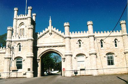
41°57′24″N 87°43′58″W / 41.956667°N 87.732778°WIrving Park 63 Rosehill Cemetery Administration Building and Entry Gate 
April 24, 1975 5800 N. Ravenswood Avenue
41°59′11″N 87°40′31″W / 41.986389°N 87.675278°WLincoln Square 64 Theodore Rozek House November 2, 2011 6337 N. Hermitage Ave.
41°59′54″N 87°40′23″W / 41.998333°N 87.673056°WEdgewater 65 Sauganash Historic District June 7, 2010 Roughly bounded by Lemont and Keating Aves, Chicago and Northwestern Railway and the alley to the east of Kilbourn Ave
41°59′24″N 87°44′32″W / 41.990028°N 87.742283°WForest Glen 66 Schorsch Irving Park Gardens Historic District February 25, 2004 Roughly bounded by W. Grace Street, W. Patterson Avenue, N. Austin Avenue, and N. Melvena Avenue
41°57′00″N 87°46′45″W / 41.95°N 87.779167°WDunning 67 Carl Schurz High School February 22, 2011 3601 N. Milwaukee Ave.
41°56′47″N 87°44′08″W / 41.946389°N 87.735556°WIrving Park 68 Sheffield Historic District January 11, 1976 Bounded roughly by W. Fullerton Avenue, N. Lincoln Avenue, N. Larrabee Street, W. Dickens Avenue, N. Burling Street, W. Wisconsin Street, N. Clybourn Avenue, N. Lakewood Avenue, W. Belden Avenue, and N. Southport Avenue; also Montana and Altgeld Streets and Southport Avenue; also roughly bounded by W. Altgeld Street and N. Lakewood, N. Fullerton, and N. Southport Avenues; also roughly bounded by W. Wisconsin Street and Armitage Avenue, N. Howe and N. Halsted Streets, N. Willow Street, and N. Kenmore Avenue
41°55′15″N 87°39′12″W / 41.920833°N 87.653333°WLincoln Park Second, third, and fourth sets of boundaries represent boundary increases of February 17, 1983, June 19, 1985, and August 22, 1986 respectively 69 Sheridan Park Historic District 
December 27, 1985 Roughly bounded by W. Lawrence Avenue, N. Racine Avenue, and W. Montrose Avenue, and N. Clark Street
41°57′55″N 87°39′47″W / 41.965278°N 87.663056°WUptown 70 Sheridan Plaza Hotel 
November 21, 1980 4601-4613 N. Sheridan Road
41°57′56″N 87°39′16″W / 41.965556°N 87.654444°WUptown 71 Swedish American Telephone Company Building 
September 13, 1985 5235-5257 N. Ravenswood Avenue
41°58′39″N 87°40′27″W / 41.9775°N 87.674167°WEdgewater 72 Talman West Ridge Bungalow Historic District December 10, 2008 Bounded roughly by N. Campbell Avenue, W. Devon Avenue, N. Fairfield Avenue, and W. Pratt Avenue
41°59′52″N 87°41′32″W / 41.9977°N 87.692344°WWest Ridge 73 Curt Teich and Company Building 
March 7, 1990 1733-55 W. Irving Park Road
41°57′14″N 87°40′25″W / 41.953889°N 87.673611°WLake View 74 Theurer-Wrigley House July 28, 1980 2466 N. Lakeview Avenue
41°55′39″N 87°38′21″W / 41.9275°N 87.639167°WLincoln Park 75 Uptown Broadway Building 
November 6, 1986 4703-4715 N. Broadway
41°58′05″N 87°39′31″W / 41.968056°N 87.658611°WUptown 76 Uptown Square Historic District 
November 8, 2000 Roughly along Lawrence Avenue, and Broadway
41°58′05″N 87°39′26″W / 41.968056°N 87.657222°WUptown 77 Vassar Swiss Underwear Company Building 
September 17, 2008 2545 W. Diversey Avenue
41°55′56″N 87°41′35″W / 41.9323°N 87.693006°WAvondale 78 Villa Historic District September 11, 1979 Roughly bounded by N. Avondale Avenue, W. Addison Street, N. Pulaski Road and N. Hamlin Avenue; also 3948-3952 and 3949-3953 W. Waveland Avenue
41°56′52″N 87°43′30″W / 41.947778°N 87.725°WAvondale and Irving Park Second set of boundaries represents a boundary increase of March 10, 1983 79 West Argyle Street Historic District 
June 3, 2010 Roughly bounded by N. Sheridan Road, W. Ainslie , N. Broadway, and W. Winona Streets
41°58′24″N 87°39′28″W / 41.9733°N 87.657789°WUptown 80 Wrightwood Bungalow Historic District September 15, 2004 4600 and 4700 Blocks of W. Wrightwood Avenue
41°55′49″N 87°44′39″W / 41.930278°N 87.744167°WBelmont Cragin 81 Yondorf Block and Hall 
November 13, 1984 758 W. North Avenue
41°54′40″N 87°38′53″W / 41.911111°N 87.648056°WLincoln Park See also
- List of Chicago Landmarks
- List of Registered Historic Places in Illinois
- List of National Historic Landmarks in Illinois
References
- ^ "National Register of Historic Places: Weekly List Actions". National Park Service, United States Department of the Interior. Retrieved on November 10, 2011.
- ^ Numbers represent an ordering by significant words. Various colorings, defined here, differentiate National Historic Landmark sites and National Register of Historic Places Districts from other NRHP buildings, structures, sites or objects.
External links
- Chicago Listing on the National Register of Historic Places, February 10, 2009, City of Chicago, Richard M. Daley, Mayor.
- Cook County, Illinois listings at NRHP.COM, a private site repackaging government NRHP data
- National Register Information System[dead link], National Park Service.
U.S. National Register of Historic Places Topics Lists by states Alabama • Alaska • Arizona • Arkansas • California • Colorado • Connecticut • Delaware • Florida • Georgia • Hawaii • Idaho • Illinois • Indiana • Iowa • Kansas • Kentucky • Louisiana • Maine • Maryland • Massachusetts • Michigan • Minnesota • Mississippi • Missouri • Montana • Nebraska • Nevada • New Hampshire • New Jersey • New Mexico • New York • North Carolina • North Dakota • Ohio • Oklahoma • Oregon • Pennsylvania • Rhode Island • South Carolina • South Dakota • Tennessee • Texas • Utah • Vermont • Virginia • Washington • West Virginia • Wisconsin • WyomingLists by territories Lists by associated states Other City of Chicago Architecture · Beaches · Climate · Colleges and Universities · Community areas · Culture · Demographics · Economy · Flag · Freeways · Geography · Government · History · Landmarks · Literature · Media · Music · Neighborhoods · Parks · Public schools · Skyscrapers · Sports · Theatre · Transportation
 Category ·
  PortalCategories:
- NRHP articles with dead external links
- National Register of Historic Places in Chicago, Illinois
- Chicago-related lists
-


Wikimedia Foundation. 2010.