- National Register of Historic Places listings in Spotsylvania County, Virginia
-
This list includes properties and districts listed on the National Register of Historic Places in Spotsylvania County, Virginia. Click the "Map of all coordinates" link to the right to view a Google map of all properties and districts with latitude and longitude coordinates in the table below.[1]
-
- This National Park Service list is complete through NPS recent listings posted November 10, 2011.[2]
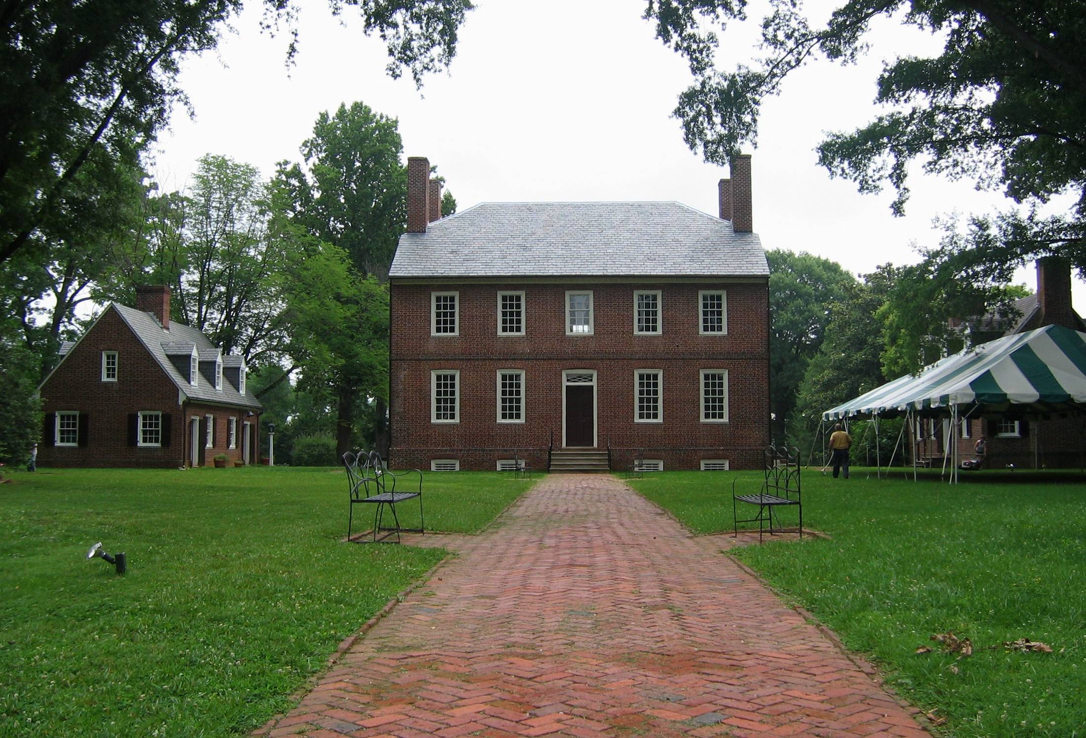
[3] Landmark name[4] Image Date listed Location City or Town Summary 1 Andrews Tavern July 30, 1976 2.6 mi. NE of Glenora on VA 601
38°7′17″N 77°46′13″W / 38.12139°N 77.77028°WGlenora 2 Bloomsbury Farm May 8, 2000 9736 Courthouse Rd.
38°14′7″N 77°33′58″W / 38.23528°N 77.56611°WSpotsylvania Courthouse 3 Fairview December 30, 1993 2020 Whitelake Dr.
38°14′25″N 77°30′53″W / 38.24028°N 77.51472°WFredericksburg 4 Fall Hill June 18, 1973 NW of Fredericksburg off VA 639
38°19′7″N 77°29′30″W / 38.31861°N 77.49167°WFredericksburg 5 Kenmore 
June 24, 1993 1201 Washington, Ave.
38°18′14.97″N 77°27′58.3″W / 38.3041583°N 77.466194°WFredericksburg 6 La Vista December 1, 1997 4420 Guinea Station Rd.
38°10′4″N 77°29′28″W / 38.16778°N 77.49111°WGuinea 7 La Vue January 11, 1994 US 17 Bypass, S side at jct. with RF&P RR tracks
38°13′11″N 77°26′35″W / 38.21972°N 77.44306°WFredericksburg 8 Massaponax Baptist Church January 24, 1991 Jct. of US 1 and Co. Rt. 608
38°11′36″N 77°30′37″W / 38.19333°N 77.51028°WMassaponax 9 Oakley May 22, 2002 10,000 Corbin Ln.
38°15′25″N 77°42′31″W / 38.25694°N 77.70861°WSpotsylvania 10 Prospect Hill September 9, 1982 1507 Monrovia Rd. (VA 612)
38°7′34″N 77°52′42″W / 38.12611°N 77.87833°WMineral 19th Century Plantation 11 Rapidan Dam Canal of the Rappahannock Navigation July 26, 1973 Extending from the mouth of the Rapidan River down the Rappahannock River for 1.5 mi.
38°21′28″N 77°36′40″W / 38.35778°N 77.61111°WSpotsylvania Best preserved section of the Rappahannock Navigation, a 19th Century effort to open 50 miles of the Rappahannock River to navigation. 12 Spotsylvania Court House Historic District 
September 8, 1983 VA 208
38°12′12″N 77°35′6″W / 38.20333°N 77.585°WSpotsylvania 13 St. Julien June 5, 1975 S of Fredericksburg between VA 609 and VA 2
38°13′20″N 77°24′56″W / 38.22222°N 77.41556°WFredericksburg Home of prominent Virginia republican Francis Taliaferro Brooke[5] 14 Stirling May 5, 1989 Co. Rt. 607 at I-95
38°10′51″N 77°30′20″W / 38.18083°N 77.50556°WMassaponax 15 Tubal Furnace Archeological Site October 19, 1982 Address Restricted Chancellor 16 Walnut Grove August 20, 2004 Belmont Rd., west of Spotsylvania
38°9′53″N 77°51′47″W / 38.16472°N 77.86306°W[6]Spotsylvania See also
- National Register of Historic Places listings in Virginia
- National Register of Historic Places listings in Fredericksburg, Virginia
- List of National Historic Landmarks in Virginia
References
- ^ The latitude and longitude information provided in this table was derived originally from the National Register Information System, which has been found to be fairly accurate for about 99% of listings. For about 1% of NRIS original coordinates, experience has shown that one or both coordinates are typos or otherwise extremely far off; some corrections may have been made. A more subtle problem causes many locations to be off by up to 150 yards, depending on location in the country: most NRIS coordinates were derived from tracing out latitude and longitudes off of USGS topographical quadrant maps created under North American Datum of 1927, which differs from the current, highly accurate GPS system used by Google maps. Chicago is about right, but NRIS longitudes in Washington are higher by about 4.5 seconds, and are lower by about 2.0 seconds in Maine. Latitudes differ by about 1.0 second in Florida. Some locations in this table may have been corrected to current GPS standards.
- ^ "National Register of Historic Places: Weekly List Actions". National Park Service, United States Department of the Interior. Retrieved on November 10, 2011.
- ^ Numbers represent an ordering by significant words. Various colorings, defined here, differentiate National Historic Landmark sites and National Register of Historic Places Districts from other NRHP buildings, structures, sites or objects.
- ^ "National Register Information System". National Register of Historic Places. National Park Service. 2008-04-24. http://nrhp.focus.nps.gov/natreg/docs/All_Data.html.
- ^ "National Register of Historic Places Nomination Form: St. Julien". Virginia Department of Historic Resources. 1975. http://www.dhr.virginia.gov/registers/Counties/Spotsylvania/088-0061_Saint_Julien_1982_Final_Nomination.pdf. Retrieved January 21, 2009.
- ^ Location derived from its coordinates; the NRIS lists the site as "Address Restricted" but provides coordinates
U.S. National Register of Historic Places Topics Lists by states Alabama • Alaska • Arizona • Arkansas • California • Colorado • Connecticut • Delaware • Florida • Georgia • Hawaii • Idaho • Illinois • Indiana • Iowa • Kansas • Kentucky • Louisiana • Maine • Maryland • Massachusetts • Michigan • Minnesota • Mississippi • Missouri • Montana • Nebraska • Nevada • New Hampshire • New Jersey • New Mexico • New York • North Carolina • North Dakota • Ohio • Oklahoma • Oregon • Pennsylvania • Rhode Island • South Carolina • South Dakota • Tennessee • Texas • Utah • Vermont • Virginia • Washington • West Virginia • Wisconsin • WyomingLists by territories Lists by associated states Other  Category:National Register of Historic Places •
  Portal:National Register of Historic Places
Municipalities and communities of Spotsylvania County, Virginia County seat: Spotsylvania Courthouse CDPs Lake Wilderness | Spotsylvania Courthouse

Unincorporated
communitiesAlsop | Arcadia | Artillery Ridge | Bells Crossroad | Belmont | Blades Corner | Brockroad | Brokenburg | Carters Store | Chancellor | Chancellorsville | Chewnings Corner | Cookstown | Dunavant | Five Mile Fork | Four Mile Fork | Granite Springs | Lanes Corner | Leavells | Lewiston | Margo | Marye | Massaponax | McHenry | Old Trap | Olivers Corner | Partlow | Paytes | Post Oak | Shady Grove Corner | Snell | Stubbs | Thornburg | Todds Tavern
Categories:- Spotsylvania County, Virginia
- National Register of Historic Places in Virginia
- Virginia-related lists
-


Wikimedia Foundation. 2010.