- National Register of Historic Places listings in Steele County, Minnesota
-
 Location of Steele County in Minnesota
This is a list of the National Register of Historic Places listings in Steele County, Minnesota. It is intended to be a complete list of the properties and districts on the National Register of Historic Places in Steele County, Minnesota, United States. The locations of National Register properties and districts for which the latitude and longitude coordinates are included below, may be seen in a Google map.[1]
There are 12 properties and districts listed on the National Register in the county.
-
- This National Park Service list is complete through NPS recent listings posted November 10, 2011.[2]
Contents
Listings county-wide
[3] Landmark name Image Date listed Location City or town Summary 1 Ezra Abbott House 
June 10, 1975 345 E. Broadway
44°05′07″N 93°13′07″W / 44.085278°N 93.218611°WOwatonna 2 Dr. John H. Adair House 
July 3, 1986 322 E. Vine St.
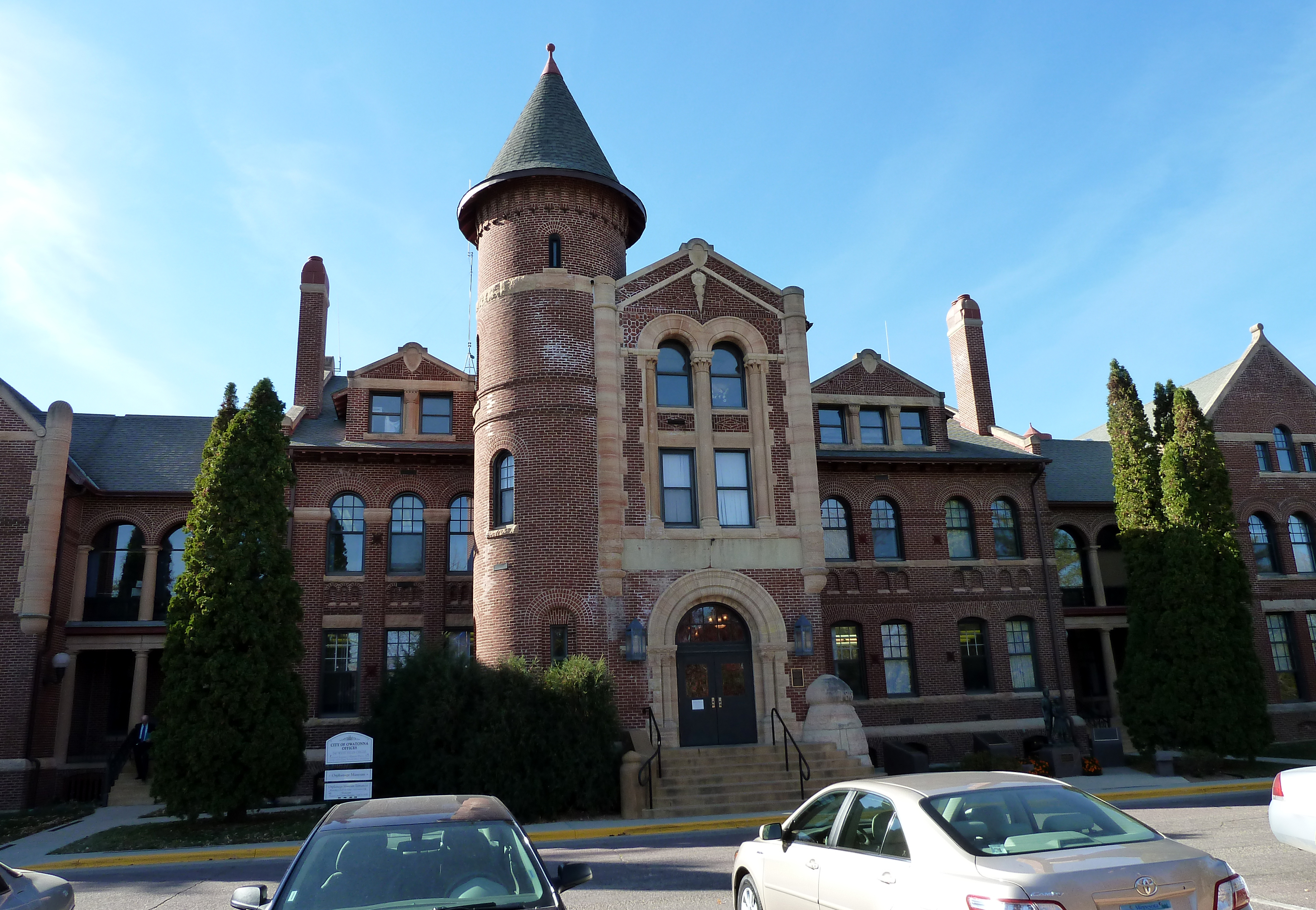
44°05′11″N 93°13′11″W / 44.086389°N 93.219722°WOwatonna 3 Administration Building-Minnesota State Public School For Dependent and Neglected Children 
May 12, 1975 West Hills Circle
44°05′23″N 93°14′18″W / 44.089722°N 93.238333°WOwatonna 4 Blooming Prairie Commercial Historic District 
August 5, 1994 Main St., E. between Highway Ave. and 2nd Ave., NE.
43°51′51″N 93°03′02″W / 43.864167°N 93.050556°WBlooming Prairie 5 Bridge No. L-5573 
January 25, 1997 Township Road 95 over the Straight River, east of U.S. Route 65
44°08′02″N 93°14′38″W / 44.133889°N 93.243889°WClinton Falls Township Also known as the Clinton Falls Bridge. 6 Minnesota State Public School for Dependent and Neglected Children 
December 28, 2010 Roughly bounded by W. Hills Dr., State Ave., and Florence Ave.
44°05′25″N 93°14′15″W / 44.090278°N 93.2375°WOwatonna 7 National Farmers' Bank 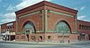
August 26, 1971 101 N. Cedar St.
44°05′07″N 93°13′31″W / 44.085278°N 93.225278°WOwatonna Louis Sullivan-designed "jewel box" bank 8 Owatonna City and Firemen's Hall 
January 31, 1997 107 W. Main St.
44°05′01″N 93°13′34″W / 44.083611°N 93.226111°WOwatonna 9 Owatonna Free Public Library 
June 7, 1976 105 N. Elm St.
44°05′08″N 93°13′22″W / 44.085556°N 93.222778°WOwatonna 10 Pillsbury Academy Campus Historic District 
January 22, 1987 Roughly Academy, Grove, and Main Sts.
44°04′44″N 93°13′36″W / 44.078889°N 93.226667°WOwatonna Most recently part of Pillsbury Baptist Bible College, which closed in 2008. 11 Daniel S. Piper House 
February 24, 1975 County Highway 45
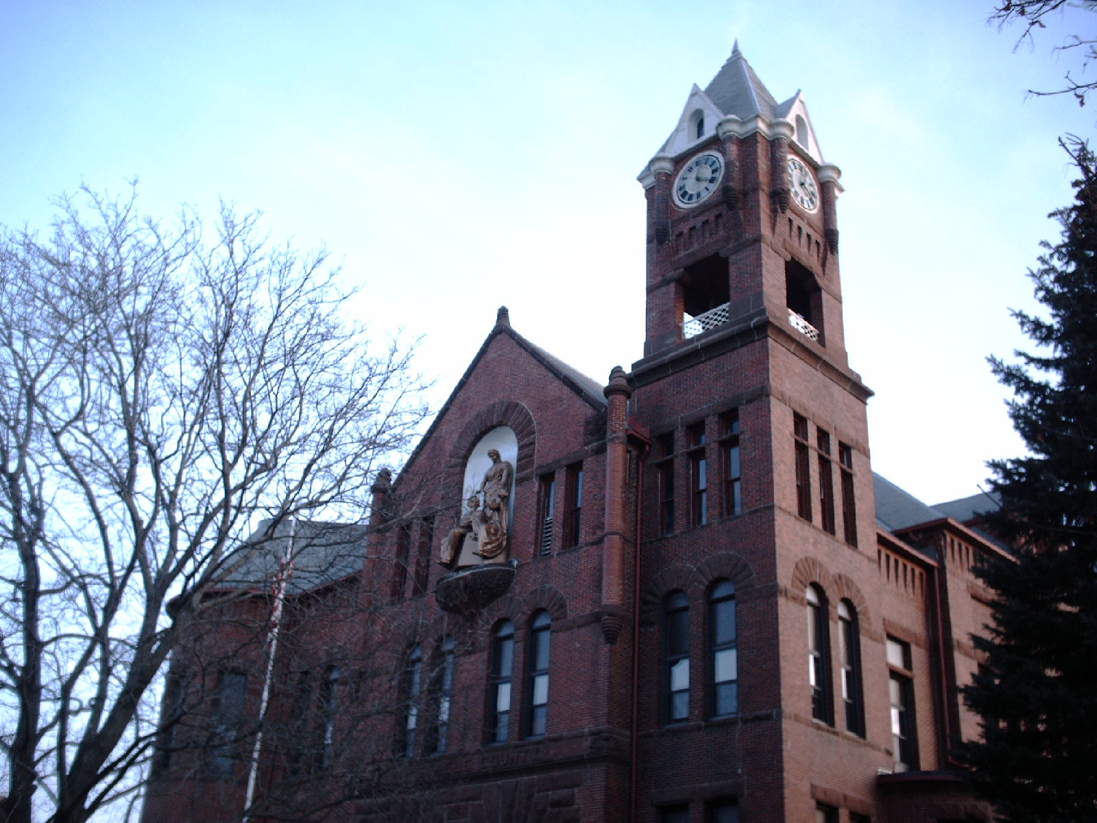
44°10′01″N 93°14′45″W / 44.166944°N 93.245833°WMedford 12 Steele County Courthouse 
November 14, 1978 139 E. Main St.
44°05′01″N 93°13′25″W / 44.083611°N 93.223611°WOwatonna Former listing
- Clinton Falls Mills and Dam (removed 12/08/04)[4]
- Kaplan Apartments (removed 9/20/2007) – Building no longer there.
See also
- List of National Historic Landmarks in Minnesota
- National Register of Historic Places listings in Minnesota
References
- ^ The latitude and longitude information provided in this table was derived originally from the National Register Information System, which has been found to be fairly accurate for about 99% of listings. For about 1% of NRIS original coordinates, experience has shown that one or both coordinates are typos or otherwise extremely far off; some corrections may have been made. A more subtle problem causes many locations to be off by up to 150 yards, depending on location in the country: most NRIS coordinates were derived from tracing out latitude and longitudes off of USGS topographical quadrant maps created under the North American Datum of 1927, which differs from the current, highly accurate WGS84 GPS system used by Google maps. Chicago is about right, but NRIS longitudes in Washington are higher by about 4.5 seconds, and are lower by about 2.0 seconds in Maine. Latitudes differ by about 1.0 second in Florida. Some locations in this table may have been corrected to current GPS standards.
- ^ "National Register of Historic Places: Weekly List Actions". National Park Service, United States Department of the Interior. Retrieved on November 10, 2011.
- ^ Numbers represent an ordering by significant words. Various colorings, defined here, differentiate National Historic Landmark sites and National Register of Historic Places Districts from other NRHP buildings, structures, sites or objects.
- ^ National Park Service Announcments, January 7, 2005.
U.S. National Register of Historic Places Topics Lists by states Alabama • Alaska • Arizona • Arkansas • California • Colorado • Connecticut • Delaware • Florida • Georgia • Hawaii • Idaho • Illinois • Indiana • Iowa • Kansas • Kentucky • Louisiana • Maine • Maryland • Massachusetts • Michigan • Minnesota • Mississippi • Missouri • Montana • Nebraska • Nevada • New Hampshire • New Jersey • New Mexico • New York • North Carolina • North Dakota • Ohio • Oklahoma • Oregon • Pennsylvania • Rhode Island • South Carolina • South Dakota • Tennessee • Texas • Utah • Vermont • Virginia • Washington • West Virginia • Wisconsin • WyomingLists by territories Lists by associated states Other Municipalities and communities of Steele County, Minnesota Cities Blooming Prairie‡ | Ellendale | Medford | Owatonna
Townships Unincorporated
communitiesHope | Moland‡
Ghost town Rice Lake‡
Footnotes ‡This populated place also has portions in an adjacent county or counties
Categories:- National Register of Historic Places in Minnesota by county
- Steele County, Minnesota
- Buildings and structures in Steele County, Minnesota
-


Wikimedia Foundation. 2010.