- National Register of Historic Places listings in Tazewell County, Virginia
-
This list includes properties and districts listed on the National Register of Historic Places in Tazewell County, Virginia. Click the "Map of all coordinates" link to the right to view a Google map of all properties and districts with latitude and longitude coordinates in the table below.[1]
-
- This National Park Service list is complete through NPS recent listings posted November 10, 2011.[2]
[3] Landmark name[4] Image Date listed Location City or Town Summary 1 Big Crab Orchard Site August 11, 1980 Address Restricted Tazewell 2 Bull Thistle Cave Archeological Site (44TZ92) September 10, 1987 Address Restricted Tazewell 3 Burke's Garden Central Church And Cemetery May 7, 1979 SE of Burke's Garden on VA 623
37°5′32″N 81°20′7″W / 37.09222°N 81.33528°WBurke's Garden 4 Burke's Garden Rural Historic District February 25, 1986 Valley encircled by Garden Mountain
37°5′51″N 81°20′23″W / 37.0975°N 81.33972°WTazewell 5 Chimney Rock Farm July 8, 1982 VA 91
37°4′39″N 81°36′33″W / 37.0775°N 81.60917°WTazewell 6 Clinch Valley Roller Mills October 4, 1984 River Street Dr.
37°5′18″N 81°45′58″W / 37.08833°N 81.76611°WCedar Bluff 7 Indian Paintings December 3, 1969 Address Restricted Maiden Spring 8 Maiden Spring August 16, 1994 Jct. of VA 609 and VA 91
37°2′27″N 81°41′19″W / 37.04083°N 81.68861°WPounding Mill 9 Capt. James Moore Homestead November 24, 2002 VA 644
37°16′7″N 81°23′38″W / 37.26861°N 81.39389°WBoissevain 10 Old Kentucky Turnpike Historic District July 7, 1995 Along Indian Creek Rd., Old Kentucky Tnpk., College Hill Rd. and Cedar Valley Dr.
37°5′20″N 81°45′49″W / 37.08889°N 81.76361°WCedar Bluff 11 Pocahontas Historic District November 3, 1972 Corporate boundaries of Pocahontas including cemetery
37°18′28″N 81°20′34″W / 37.30778°N 81.34278°WPocahontas 12 Pocahontas Mine No. 1 
October 12, 1994 Rt. 659, Reedsville Hollow Rd.
37°18′29″N 81°20′59″W / 37.30806°N 81.34972°WPocahontas 13 Richlands Historic District May 2, 2007 Includes portions of Front, Second, Third, Fourth Sts., and Grayson Ave., Lee St., Washington Sq. and Suffolk Ave. Richlands 14 Walter McDonald Sanders House November 21, 2002 College Ave.
37°14′19″N 81°15′36″W / 37.23861°N 81.26°WBluefield 15 Alexander St. Clair House June 28, 1982 W of Bluefield on VA 650
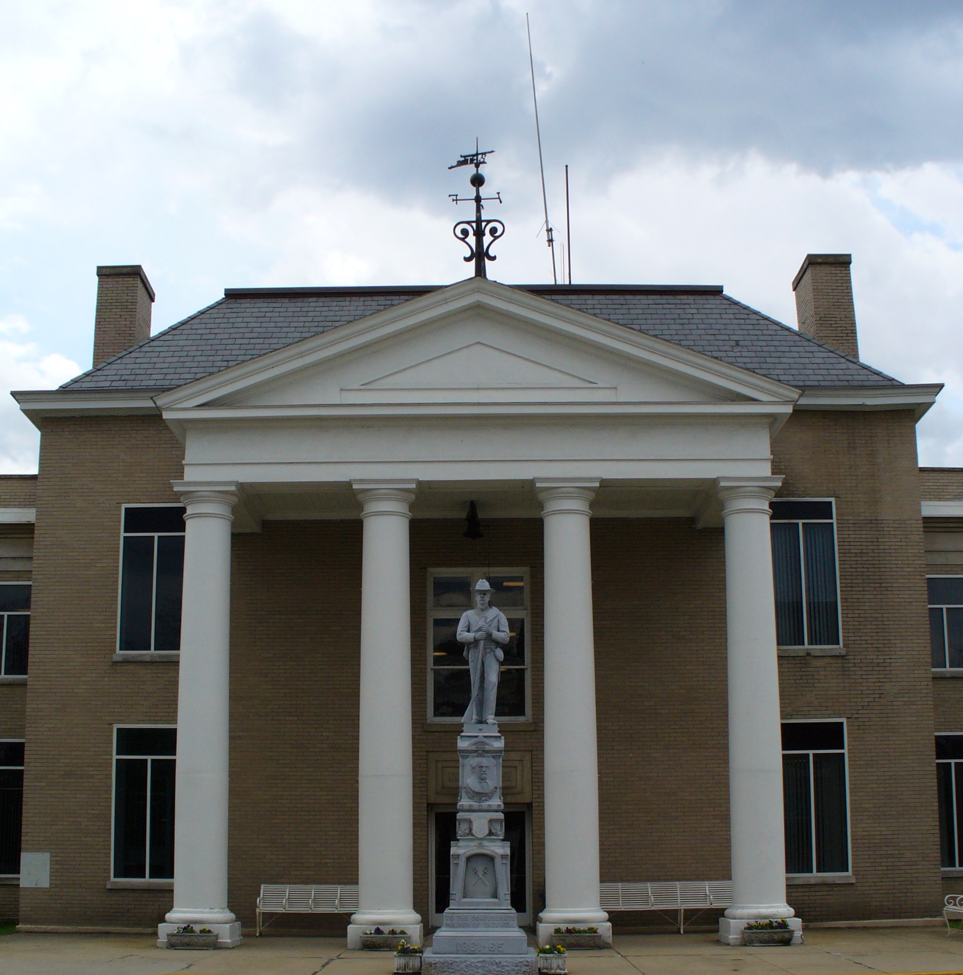
37°13′58″N 81°18′53″W / 37.23278°N 81.31472°WBluefield 16 Tazewell Avenue Historic District March 31, 2010 Tazewell Ave, Fairfax Ave, Front St., Second St., Third St., & Fourth St.
37°5′46.1″N 81°48′20.65″W / 37.096139°N 81.8057361°WRichlands 17 Tazewell Historic District 
May 16, 2002 Main, Church, Tower, and Pine Sts., and Central Ave.
37°7′3″N 81°31′15″W / 37.1175°N 81.52083°WTazewell 18 George Oscar Thompson House June 28, 1982 U.S. 604
37°4′19″N 81°33′21″W / 37.07194°N 81.55583°WTazewell 19 Williams House July 7, 1983 102 Suffolk Ave.
37°5′36″N 81°47′55″W / 37.09333°N 81.79861°WRichlands 20 James Wynn House October 28, 1992 408 S. Elk St.
37°6′51″N 81°31′10″W / 37.11417°N 81.51944°WTazewell See also
- National Register of Historic Places listings in Virginia
- List of National Historic Landmarks in Virginia
References
- ^ The latitude and longitude information provided in this table was derived originally from the National Register Information System, which has been found to be fairly accurate for about 99% of listings. For about 1% of NRIS original coordinates, experience has shown that one or both coordinates are typos or otherwise extremely far off; some corrections may have been made. A more subtle problem causes many locations to be off by up to 150 yards, depending on location in the country: most NRIS coordinates were derived from tracing out latitude and longitudes off of USGS topographical quadrant maps created under the North American Datum of 1927, which differs from the current, highly accurate WGS84 GPS system used by Google maps. Chicago is about right, but NRIS longitudes in Washington are higher by about 4.5 seconds, and are lower by about 2.0 seconds in Maine. Latitudes differ by about 1.0 second in Florida. Some locations in this table may have been corrected to current GPS standards.
- ^ "National Register of Historic Places: Weekly List Actions". National Park Service, United States Department of the Interior. Retrieved on November 10, 2011.
- ^ Numbers represent an ordering by significant words. Various colorings, defined here, differentiate National Historic Landmark sites and National Register of Historic Places Districts from other NRHP buildings, structures, sites or objects.
- ^ "National Register Information System". National Register of Historic Places. National Park Service. 2008-04-24. http://nrhp.focus.nps.gov/natreg/docs/All_Data.html.
U.S. National Register of Historic Places Topics Lists by states Alabama • Alaska • Arizona • Arkansas • California • Colorado • Connecticut • Delaware • Florida • Georgia • Hawaii • Idaho • Illinois • Indiana • Iowa • Kansas • Kentucky • Louisiana • Maine • Maryland • Massachusetts • Michigan • Minnesota • Mississippi • Missouri • Montana • Nebraska • Nevada • New Hampshire • New Jersey • New Mexico • New York • North Carolina • North Dakota • Ohio • Oklahoma • Oregon • Pennsylvania • Rhode Island • South Carolina • South Dakota • Tennessee • Texas • Utah • Vermont • Virginia • Washington • West Virginia • Wisconsin • WyomingLists by territories Lists by associated states Other Municipalities and communities of Tazewell County, Virginia Towns Bluefield | Cedar Bluff | Pocahontas | Richlands | Tazewell

CDPs Claypool Hill | Gratton | Raven‡ | Springville
Unincorporated
communitiesAbbs Valley | Adria | Amonate | Bishop | Boissevain | Burke's Garden | Busthead | Falls Mills | Frog Level | Liberty | Paintlick | Pisgah | Pounding Mill | Tannersville | Tiptop | Thompson Valley | Wardell | Yards‡
Footnotes ‡This populated place also has portions in an adjacent county or counties
Categories:- Tazewell County, Virginia
- National Register of Historic Places in Virginia
- Virginia-related lists
-


Wikimedia Foundation. 2010.