- National Register of Historic Places listings in Tuscarawas County, Ohio
-
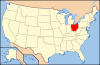
 Location of Tuscarawas County in Ohio
This is a list of the National Register of Historic Places listings in Tuscarawas County, Ohio.
This is intended to be a complete list of the properties and districts on the National Register of Historic Places in Tuscarawas County, Ohio, United States. The locations of National Register properties and districts for which the latitude and longitude coordinates are included below, may be seen in a Google map.[1]
There are 24 properties and districts listed on the National Register in the county, including 1 National Historic Landmark.
-
- This National Park Service list is complete through NPS recent listings posted November 10, 2011.[2]
Current listings
[3] Landmark name [4] Image Date listed Location City or town Summary 1 Frederick Bernhard House 
December 9, 1988 211 E. Front St.
40°31′20″N 81°28′20″W / 40.522222°N 81.472222°WDover 2 Katherine Cooper House 
January 4, 1996 118 W. 7th St.
40°31′32″N 81°28′50″W / 40.525556°N 81.480556°WDover 3 John Deis House 
June 30, 1988 203 W. 6th St.
40°31′27″N 81°28′54″W / 40.524167°N 81.481667°WDover 4 Dennison High School 
February 1, 2006 220 N. 3rd St.
40°23′40″N 81°20′01″W / 40.394444°N 81.333611°WDennison 5 E.D. Fisher House 
September 24, 1999 432 S. Park Ave.
40°38′45″N 81°27′16″W / 40.645833°N 81.454444°WBolivar 6 Fort Laurens Site 
November 10, 1970 Near State Route 212, 0.5 mi (0.80 km) south of Bolivar
40°38′20″N 81°27′22″W / 40.638889°N 81.456111°WLawrence Township 7 Garver Brothers Store 
November 26, 1980 134 N. Wooster Ave.
40°35′51″N 81°31′40″W / 40.5975°N 81.527778°WStrasburg destroyed by arson October 2010 [5] 8 Gnadenhutten Massacre Site 
November 10, 1970 South of downtown Gnadenhutten on a county road
40°21′15″N 81°26′06″W / 40.354167°N 81.435°WGnadenhutten 9 Johnson Site II 
February 9, 1984 Above the Tuscarawas River, east of Dover
40°31′36″N 81°26′20″W / 40.52667°N 81.43889°W[6]Dover Township 10 T. Lanning & Co. Department Store 
April 28, 2000 226-228 Grant St.
40°23′34″N 81°20′03″W / 40.392778°N 81.334167°WDennison 11 John Lebol House, Smokehouse and Springhouse 
July 15, 1982 Route 1, east of Bolivar
40°38′19″N 81°26′03″W / 40.638611°N 81.434167°WLawrence Township 12 Pennsylvania Railroad Depot and Baggage Room 
September 8, 1976 400 Center St.
40°23′31″N 81°19′56″W / 40.391944°N 81.332222°WDennison Designated a National Historic Landmark June 17, 2011 13 Christian Pershing Barn 
March 19, 1992 Off State Route 39 west of Dover
40°30′58″N 81°32′46″W / 40.516111°N 81.546111°WDover Township 14 Port Washington Town Hall 
February 22, 1979 Main St.
40°19′40″N 81°31′08″W / 40.327778°N 81.518889°WPort Washington 15 Ragersville School July 22, 1994 8807 County Road 52, SW. (Crooked Run Rd.) in Ragersville
40°27′11″N 81°37′48″W / 40.453056°N 81.63°WAuburn Township 16 The Railway Chapel 
April 15, 2009 301 Grant St.
40°23′35″N 81°20′03″W / 40.393169°N 81.334075°WDennison 17 Jeremiah Reeves House and Carriage House 
July 15, 1982 325 E. Iron Ave.
40°30′57″N 81°27′46″W / 40.515833°N 81.462778°WDover 18 Christian H. Rinderknecht House 
July 31, 1991 602 N. Wooster Ave.
40°31′32″N 81°28′48″W / 40.525556°N 81.48°WDover 19 Schoenbrunn Site 
November 10, 1970 U.S. 250
40°27′55″N 81°25′08″W / 40.465278°N 81.418889°WNew Philadelphia Schoenbrunn Village State Memorial 20 Seven Ranges Terminus 
December 12, 1976 West of Magnolia at the junction of Stark, Tuscarawas, and Carroll counties
40°39′07″N 81°19′05″W / 40.651944°N 81.318056°WSandy Township Extends into Carroll and Stark counties 21 Dr. Joseph Slingluff House 
November 19, 1998 606 N. Wooster Ave.
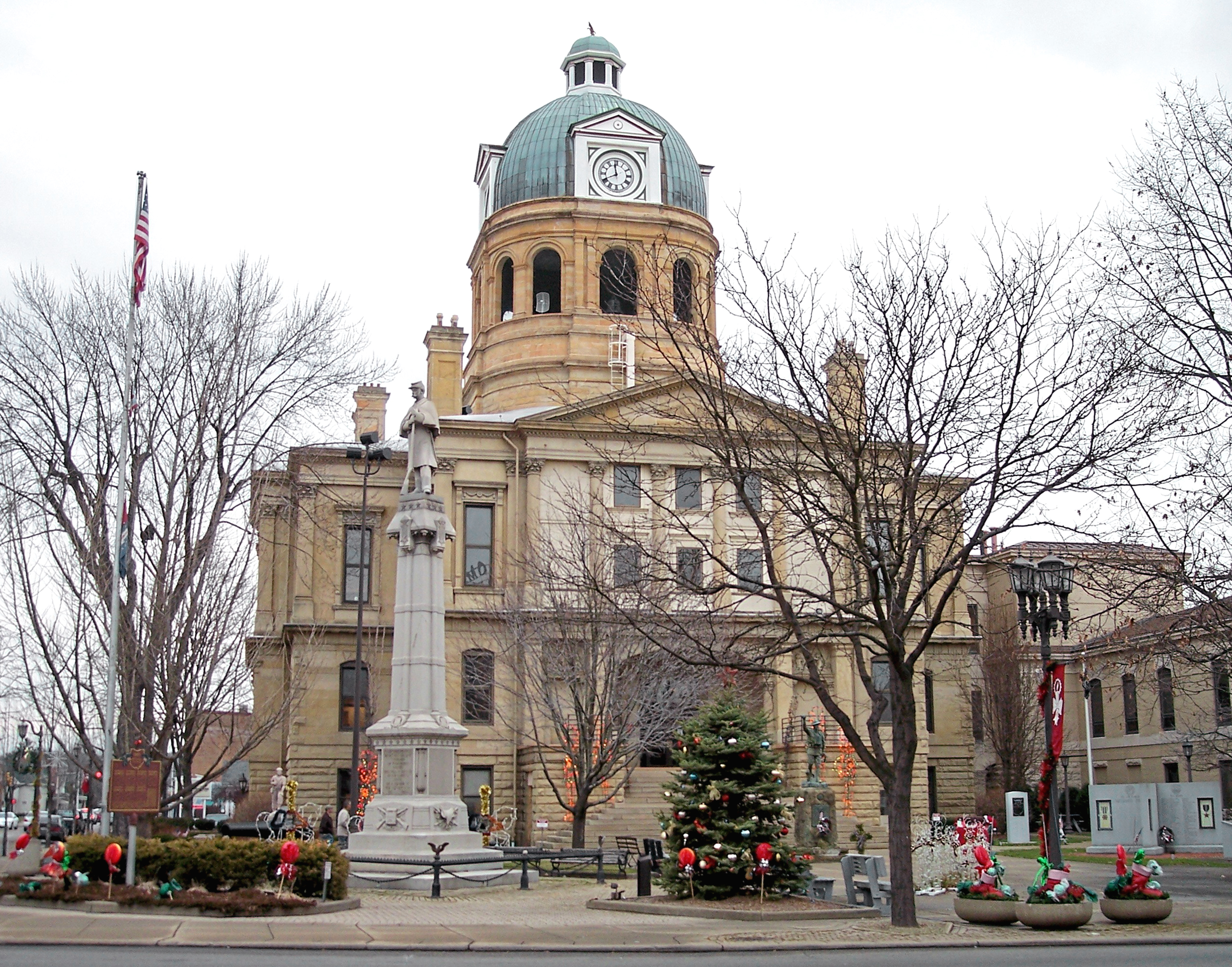
40°31′32″N 81°28′48″W / 40.525556°N 81.48°WDover 22 Tuscarawas County Courthouse 
July 16, 1973 Courthouse Sq.
40°29′24″N 81°26′42″W / 40.49°N 81.445°WNew Philadelphia 23 Zoar Historic District 
June 23, 1969 Bounded by 5th, Foltz, and 1st Sts. and by rear property lines of properties; also village of Zoar along State Route 212
40°36′48″N 81°25′22″W / 40.613333°N 81.422778°WZoar Second set of boundaries represents a boundary increase, added on 1975-08-11 24 Zoarville Bridge 
March 13, 1997 Across the Conotton Creek east of the junction of State Routes 212 and 800, near Zoarville
40°34′38″N 81°23′30″W / 40.577222°N 81.391667°WFairfield Township The only Fink through truss bridge known in the United States today[7] See also
References
- ^ The latitude and longitude information provided in this table was derived originally from the National Register Information System, which has been found to be fairly accurate for about 99% of listings. For about 1% of NRIS original coordinates, experience has shown that one or both coordinates are typos or otherwise extremely far off; some corrections may have been made. A more subtle problem causes many locations to be off by up to 150 yards, depending on location in the country: most NRIS coordinates were derived from tracing out latitude and longitudes off of USGS topographical quadrant maps created under the North American Datum of 1927, which differs from the current, highly accurate WGS84 GPS system used by Google maps. Chicago is about right, but NRIS longitudes in Washington are higher by about 4.5 seconds, and are lower by about 2.0 seconds in Maine. Latitudes differ by about 1.0 second in Florida. Some locations in this table may have been corrected to current GPS standards.
- ^ "National Register of Historic Places: Weekly List Actions". National Park Service, United States Department of the Interior. Retrieved on November 10, 2011.
- ^ Numbers represent an ordering by significant words. Various colorings, defined here, differentiate National Historic Landmark sites and National Register of Historic Places Districts from other NRHP buildings, structures, sites or objects.
- ^ "National Register Information System". National Register of Historic Places. National Park Service. . http://nrhp.focus.nps.gov/natreg/docs/All_Data.html.
- ^ Canton Repository arson fire story accessed 11-09-2010
- ^ Location derived from Mills, William C. Archeological Atlas of Ohio. Columbus: Ohio State Archeological and Historical Society, 1914, page 79 and plate 79. The NRIS lists the site as "Address Restricted".
- ^ Zoarville Station Bridge, Historic American Engineering Record via the Library of Congress, 1992. Accessed 2009-04-25.
National Register of Historic Places in Ohio Lists by county Adams • Allen • Ashland • Ashtabula • Athens • Auglaize • Belmont • Brown • Butler • Carroll • Champaign • Clark • Clermont • Clinton • Columbiana • Coshocton • Crawford • Cuyahoga • Darke • Defiance • Delaware • Erie • Fairfield • Fayette • Franklin • Fulton • Gallia • Geauga • Greene • Guernsey • Hamilton • Hancock • Hardin • Harrison • Henry • Highland • Hocking • Holmes • Huron • Jackson • Jefferson • Knox • Lake • Lawrence • Licking • Logan • Lorain • Lucas • Madison • Mahoning • Marion • Medina • Meigs • Mercer • Miami • Monroe • Montgomery • Morgan • Morrow • Muskingum • Noble • Ottawa • Paulding • Perry • Pickaway • Pike • Portage • Preble • Putnam • Richland • Ross • Sandusky • Scioto • Seneca • Shelby • Stark • Summit • Trumbull • Tuscarawas • Union • Van Wert • Vinton • Warren • Washington • Wayne • Williams • Wood • Wyandot
Lists by city Other lists Municipalities and communities of Tuscarawas County, Ohio Cities 
Villages Baltic‡ | Barnhill | Bolivar | Dennison | Gnadenhutten | Midvale | Mineral City | Newcomerstown | Parral | Port Washington | Roswell | Stone Creek | Strasburg | Sugarcreek | Tuscarawas | Zoar
Townships Unincorporated
communitiesBernice | Dundee | Gilmore | New Cumberland | Newport | Peoli | Sandyville | Somerdale | Stillwater | Wainwright
Footnotes ‡This populated place also has portions in an adjacent county or counties
Categories:- National Register of Historic Places in Ohio by county
- Tuscarawas County, Ohio
-


Wikimedia Foundation. 2010.