- Nedumangad taluk
-
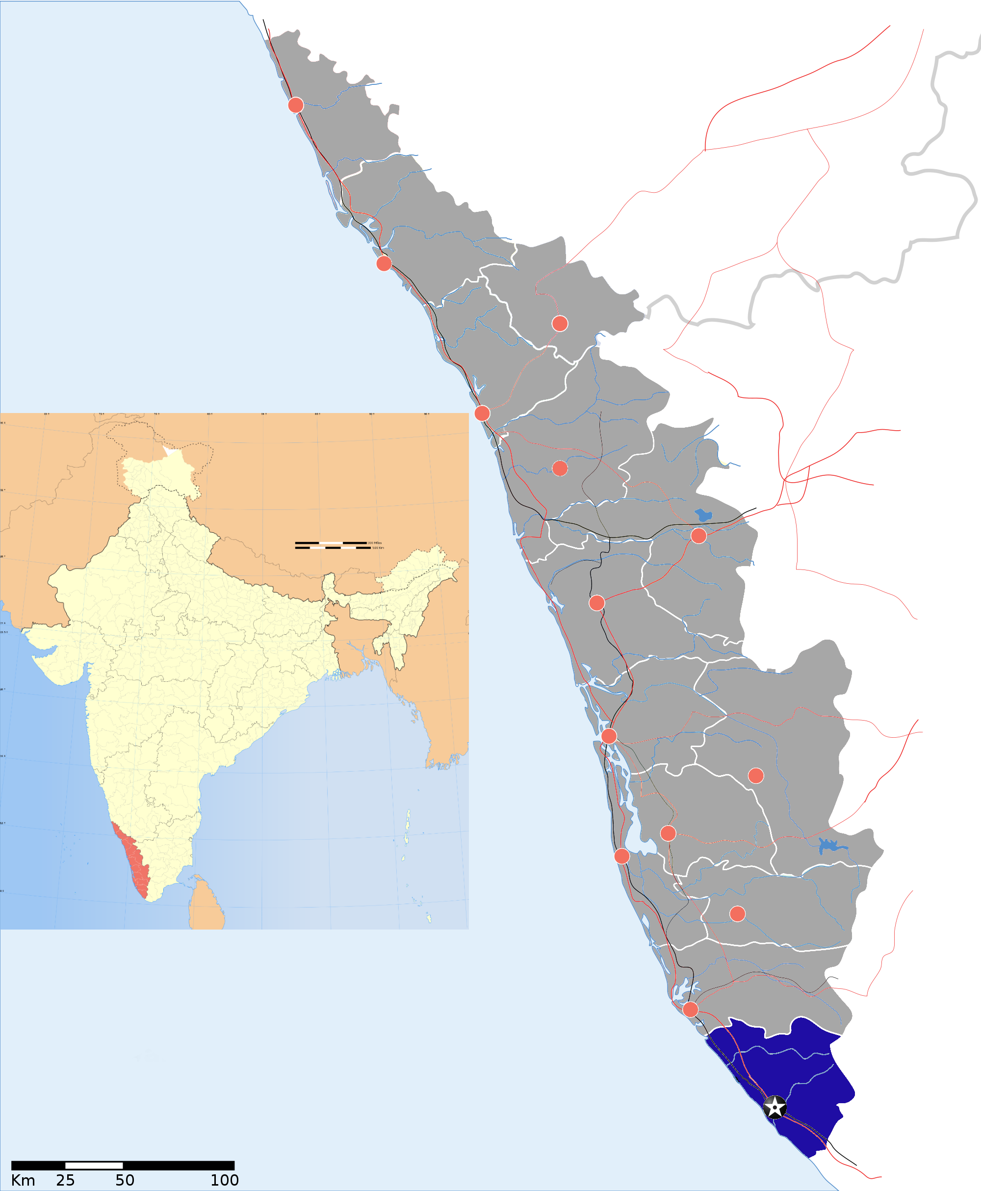
Nedumangad Taluk — taluk — Coordinates 8°36′12″N 77°00′10″E / 8.60333°N 77.00278°ECoordinates: 8°36′12″N 77°00′10″E / 8.60333°N 77.00278°E Country India State Kerala District(s) Thiruvananthapuram Headquarters Nedumangad Time zone IST (UTC+05:30) Nedumangad Taluk is a Taluk (tehsil) in Thiruvananthapuram district in the Indian state of Kerala.[1] It situated in the eastern part of the Thiruvananthapuram district. It comprises 28 villages and one municipality.
It is bounded on the west by Trivandrum Taluk, on the east by the State of Tamil Nadu, on the south by Neyyattinkara Taluk and on the north by Kollam District.
Contents
Settlements
There are 28 villages and one Municipality are in the taluk.[2]
Villages
Anad, Aruvikkara, Aryanad, Kallara, Karakulam, Koliyakode, Kurupuzha, Manikkal, Mannoorkara, Nedumangad, Nellanad, Palode, Panavoor, Pangode, Peringamala, Perumkulam, Pullampara, Theakada, Thennoor, Tholicode, Uzhamalackal, Vamanapuram, Vattappara, Veeranakavu, Vellanad, Vembayam, Vithura.
Municipalities
There is only one municipality, Nedumangad, which is also the headquarters of the taluk.
References
- ^ Nedumangad taluk
- ^ "Nedumangad Taluk". About nedumangad. National Informatics Centre Thiruvananthapuram. http://trivandrum.gov.in/trivandrum/index.php/nedumangad-citizen-services-391?task=view. Retrieved 26 June 2010.
Thiruvananthapuram district District HQ: Thiruvananthapuram History 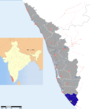
Geography Karamana River · Vamanapuram River · Neyyar River · Varkala Beach · Agastya Mala · Ponmudi · Meenmutty FallsCities and Taluks TaluksCorporationsMunicipalitiesTransport Thiruvananthapuram International Airport · Trivandrum Central · Varkala Sivagiri station · NH 47 · Main Central RoadEducation Buildings Culture Lok Sabha constituencies Thiruvananthapuram · AttingalCategories:- Thiruvananthapuram district
- Taluks of Kerala


Wikimedia Foundation. 2010.