- Normanby, Ryedale
-
Coordinates: 54°13′36″N 0°52′27″W / 54.22679°N 0.87413°W
Normanby 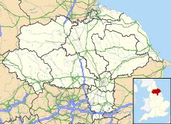
 Normanby
Normanby shown within North YorkshireOS grid reference SE734818 District Ryedale Shire county North Yorkshire Region Yorkshire and the Humber Country England Sovereign state United Kingdom Post town YORK Postcode district YO62 Police North Yorkshire Fire North Yorkshire Ambulance Yorkshire EU Parliament Yorkshire and the Humber UK Parliament Thirsk and Malton (formerly Ryedale) List of places: UK • England • Yorkshire Normanby is a village and civil parish in the Ryedale district of North Yorkshire, England. It is about 2 miles (3.2 km) west of Pickering. It lies on the main road between Malton and Kirkbymoorside.
In the old days Normanby had 14 alehouses and was a major stopping point due to its location halfway between Teeside and Humberside. These days Normanby has only one pub and a church, all the houses in Normanby are built along the busy main road, to the south of the village is the river bridge, which was built in the days of little traffic so in recent years has been the scene of many accidents, the bridge takes traffic over the River Seven which runs to the east of the village on its way from Rosedale to the River Rye further south.
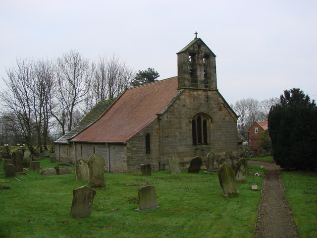
 St Andrew's Church, Normanby
External links
 Media related to Normanby, Ryedale at Wikimedia Commons
This Ryedale location article is a stub. You can help Wikipedia by expanding it.