- Nysa Bridge
-
Nysa Bridge Carries Substructure for theatre square Crosses Cakircak Locale Nysa (Sultanhisar), Caria, Turkey Design Arch bridge Material Stone Width Ca. 100 m Longest span 5.7–7 m Number of spans 1 Clearance below 5.9 m 2nd largest ancient bridge substructure 
 Nysa Bridge
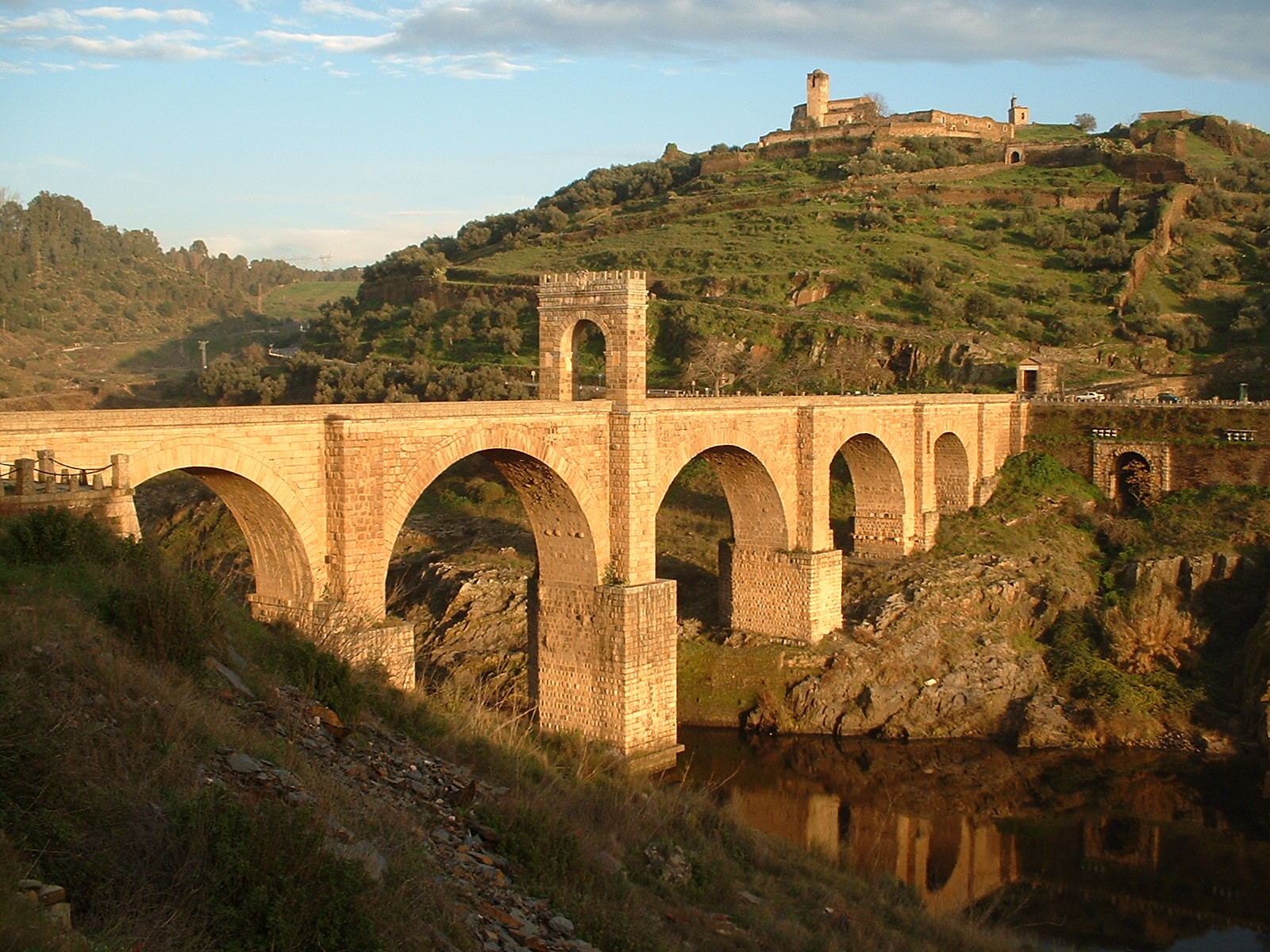
The Nysa Bridge is a late imperial Roman bridge over the Cakircak stream in Nysa (modern Sultanhisar), in the ancient region of Caria, Turkey. The 100 m (328 ft) long substructure was the second largest of its kind in antiquity, after the Pergamon Bridge.[1]
Contents
Dating
The Greek geographer Strabo (63 BC–AD 21), who lived in Nysa, mentioned a secret water conduit in the town, but it remains unclear whether he meant the existing tunnel-like bridge.[2] An inscription at the northern wall of the tube, close to a bend after 25 m (82 ft), indicates a construction date in late imperial times.[3] It reads "Work of Praülos until this point".[4]
Construction
The Nysa Bridge served as a substructure for the area in front of the city theatre which lay close to the stream.[5] It spanned the Cakircak stream on a length of some 100 m (328 ft), giving the structure the appearance of a tube or a tunnel, although it was constructed entirely above ground. It consists of a single, 5.7 m (19 ft) wide vault with its uphill mouth widening to 7 m (23 ft). The overall height of its semi-circular arch is 5.9 m (19 ft), featuring a rise of 2.95 m (9 ft 8 in). The vault is made of rubble stone laid in mortar, resting on a substructure of ashlar stone blocks of varying size (0.3–0.9 x 1.0–1.4 m). Originally featuring a continuous vaulting, it has today collapsed between m 75 and 85, and again at the downhill exit. The remaining, isolated structure in between has often been incorrectly referred to as a bridge of its own.[6] The Nysa Bridge was the second largest bridge substruction of its kind in antiquity, only surpassed by the nearby Bridge at Pergamon.[1] By comparison, the width of normal, free standing Roman bridges did not exceed 10 m (33 ft).[7]
In its further course, the Cakircak also ran through the city stadion, so that naumachia could be given. There are remains of two other ancient bridges both up- and downstream.[2]
Discharge capacity
The capacity limit of the Nysa Bridge in case of floods has been the subject of hydraulic and hydrological research. The gradient of the tunnel was calculated as 3.3% with a maximum discharge capacity of 290 m³/s. Exceeding this limit puts the bridge under internal pressure and damages the structure in the process. Considering that the Cakircak is 6 km (3.7 mi) long, with a median gradient of 19% and a drainage basin of 4 km2 (1.5 sq mi), the following median intervals were calculated, depending on the method employed:
- 7,500 years (Günerman method)
- 10,500 years (D.S.I. method)
- 13,000 years (Mockus method)
- 68,000 years (Snyder method)
The study came to the conclusion that statistically every 13,500 years, a value which has been referred to as the "arithmetic mean", floods are to be expected which would exceed the capacity of the bridge.[8]
See also
References
- ^ a b Grewe & Özis 1994, p. 352
- ^ a b Grewe & Özis 1994, p. 350
- ^ Grewe & Özis 1994, p. 351
- ^ Archaiologikon Deltion 1921–22, 84: Π̣ραΰ̣λου ἔργον | ἕως ὧδε
- ^ Grewe & Özis 1994, p. 348f.
- ^ All data: Grewe & Özis 1994, p. 351
- ^ O’Connor 1993
- ^ Grewe & Özis 1994, p. 351f.
Sources
- Grewe, Klaus; Özis, Ünal (1994), "Die antiken Flußüberbauungen von Pergamon und Nysa (Türkei)", Antike Welt 25 (4): 348–352
- O’Connor, Colin (1993), Roman Bridges, Cambridge University Press, ISBN 0-521-39326-4
Further reading
- Öziş, Ünal; Harmancioğlu, N. (1979), "Flood Flows and Capacities of the Historical Pergamon and Nysa Tunnels in Anatolia", International Association for Hydraulic Research, 18. Congress Proceedings (Cagliari) 6: 696–698
- Öziş, Ünal (1987), "Ancient Water Works in Anatolia", Water Resources Development 3/1: 55–62
Roman bridges England 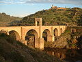
France Pont Ambroix • Pont de Bornègre • Pont Flavien • Pont du Gard • Pont Julien • Pont sur la Laye • Pont des Marchands • Pont Serme • Roman Bridge (Saint-Thibéry) • Roman Bridge (Vaison-la-Romaine) Germany Iran Band-e Kaisar Italy Pons Aemilius • Pons Agrippae • Ponte Altinate • Pons Cestius • Pons Fabricius • Pons Neronianus • Pons Probi • Pons Sublicius • Pont d'Aël • Pont de Pierre (Aosta) • Pont-Saint-Martin • Ponte d'Augusto (Rimini) • Ponte Corvo • Ponte del Gran Caso • Ponte Milvio • Ponte Molino (Padua) • Ponte Nomentano • Ponte Pietra (Verona) • Ponte di Pioraco • Ponte di Quintodecimo • Ponte Salario • Ponte San Lorenzo • Ponte Sant'Angelo • Susegana Bridge Lebanon Leontes Bridge Portugal Ponte de Rubiães • Ponte Nova da Cava da Velha • Roman Bridge (Chaves) Romania Spain Acueducto de los Milagros • Alcántara Bridge • Alcántara Bridge (Toletum) • Alconétar Bridge • Aqüeducte de les Ferreres • Puente Romano (Mérida) • Segovia Aqueduct Bridge Syria Bridge at Nimreh • Gemarrin Bridge • Kharaba Bridge Turkey Aesepus Bridge • Arapsu Bridge • Bridge at Oinoanda • Constantine's Bridge (Mysia) • Eurymedon Bridge (Aspendos) • Eurymedon Bridge (Selge) • Karamagara Bridge • Kemer Bridge • Limyra Bridge • Makestos Bridge • Nysa Bridge • Penkalas Bridge • Pergamon Bridge • Sangarius Bridge • Severan Bridge • Taşköprü (Adana) • Valens Aqueduct Bridge • White Bridge (Mysia)
Coordinates: 37°54′12″N 28°08′44″E / 37.903405°N 28.145514°ECategories:- Roman bridges in Turkey
- Deck arch bridges
- Stone bridges
- Tunnels in Turkey
- Roman Caria
- Aydın Province

Wikimedia Foundation. 2010.