- Ontario Highway 68
-
- Note: Highway 6 fully absorbed this route in 1980.
Highway 68
Manitowaning Road 
Route information Maintained by Ministry of Transportation Length: 116.5 km[1] (72.4 mi)
in 1980Existed: 1937 – 1980 (absorbed into extension of Highway 6) Major junctions Beltway around Manitowaning North end:  Highway 17 – McKerrow
 Highway 540 (Meredith Street) – Little Current
 Highway 542 (Highway 542) – Tehkummah
South end: Ferry Dock in South Baymouth Location Counties: Sudbury, Manitoulin Major cities: McKerrow, Espanola, Little Current, Manitowaning, South Baymouth Highway system Ontario provincial highways
400-series • Former←  Highway 67
Highway 69  →
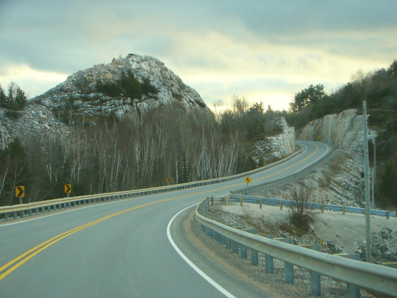
→Highway 68 was a provincially maintained highway on Manitoulin Island, linking the island to the mainland. It was connected to the rest of the network by Highway 17 in McKerrow. The road was built in the 1920s as a trunk road for the Department of Northern Development (later merged into the Department of Highways, today's Ministry of Transportation), but was formed as a provincial highway in 1937, as the only Kings Highway on the island. Highway 68 stretched from Espanola in the north, through the towns of Little Current and Manitowaning south to South Baymouth.

While the road was re-aligned somewhat throughout its history (many of the re-alignments took place in the late 1950s and early 1960s), and its overall path has not changed, its length has varied considerably during re-alignments, creeping as high as 130 km during the 1960s, before settling back down to its current value of around 116 km. Some former alignments (such as "Devil's Elbow Road") are still in use. The road was fully paved by 1973, making this road one of the last Kings Highways in the province to be paved in its entirety (with the last Kings Highway to be paved being Highway 129 in 1983).
In 1980, the road was eliminated as a separate highway, when the designation of Highway 6 was applied to Highway 68's entire length. The two discontinuous sections of Highway 6 are currently linked only by a privately-operated ferry, the Chi-Cheemaun, which runs daily from May to October from South Baymouth to Tobermory, across Georgian Bay.
The King's Highways of Ontario Current highwaysFormer highways- 2A
- 2B
- 2S
- 3B
- 4A
- 5A
- 7B
- 8A
- 12B
- 14
- 15A
- 18
- 18A
- 22
- 24A
- 25
- 27
- 29
- 30
- 31
- 32
- 35A
- 35B
- 36
- 38
- 39
- 40B
- 42
- 43
- 44
- 45
- 46
- 47
- 48B
- 50
- 51
- 52
- 53
- 54
- 55
- 56
- 57
- 59
- 68
- 70
- 73
- 74
- 75
- 76
- 78
- 79
- 80
- 81
- 82
- 83
- 84
- 86
- 87
- 88
- 90
- 91
- 92
- 95
- 96
- 97
- 98
- 99
- 100
- 103
- 104
- 106
- 107
- 109
- 110
- 111
- 114
- 116
- 117
- 119
- 120
- 121
- 122
- 123
- 126
- 128
- 131
- 133
- 134
- 135
- 136
- 169
- 400A
- 401A
County roads in Ontario · Ontario numbered highways · Expressways and 400-series highways · King's Highways · Secondary highways · Tertiary and 7000-series highways · List of Ontario provincial highways · List of former provincial highways in Ontario · Highways in Ontario · List of Ontario expressways · Trans-Canada Highway · Connecting Link · Emergency Detour RouteCategories:- Defunct Ontario provincial highways
- Ontario road stubs


Wikimedia Foundation. 2010.