- Oakwoods Metropark
-
Oakwoods Metropark 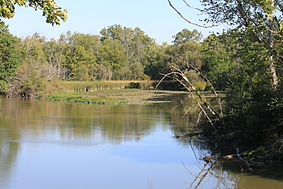
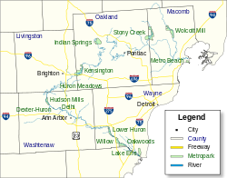
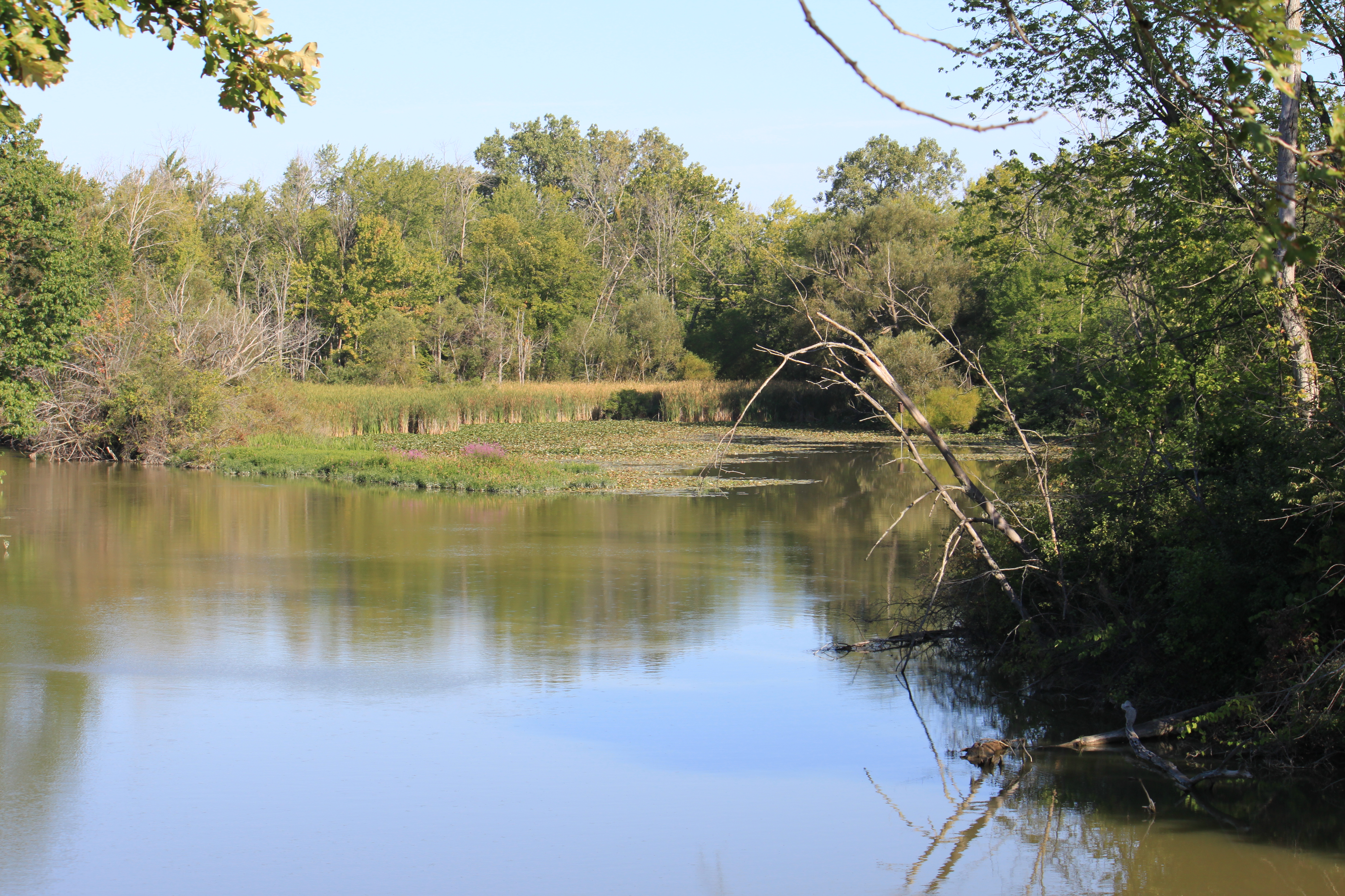
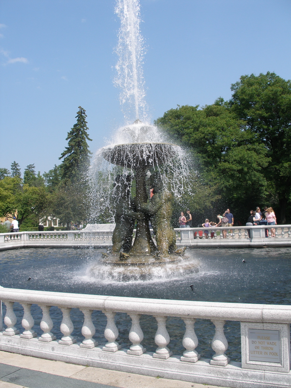
View of Huron RiverLocation within metro Detroit
Type Regional park Location Lower Peninsula, Wayne County, Michigan USA Coordinates 42°06′23.40″N 83°20′53.47″W / 42.1065°N 83.3481861°WCoordinates: 42°06′23.40″N 83°20′53.47″W / 42.1065°N 83.3481861°W Area 1,756 acres (711 ha) Operated by Huron–Clinton Metroparks Status Open year round Website Official site Oakwoods Metropark is a park in the Huron-Clinton system of metro parks. The park has wooded nature trails, a nature center, and a view of the Huron River. [1] [2] [3] [4]
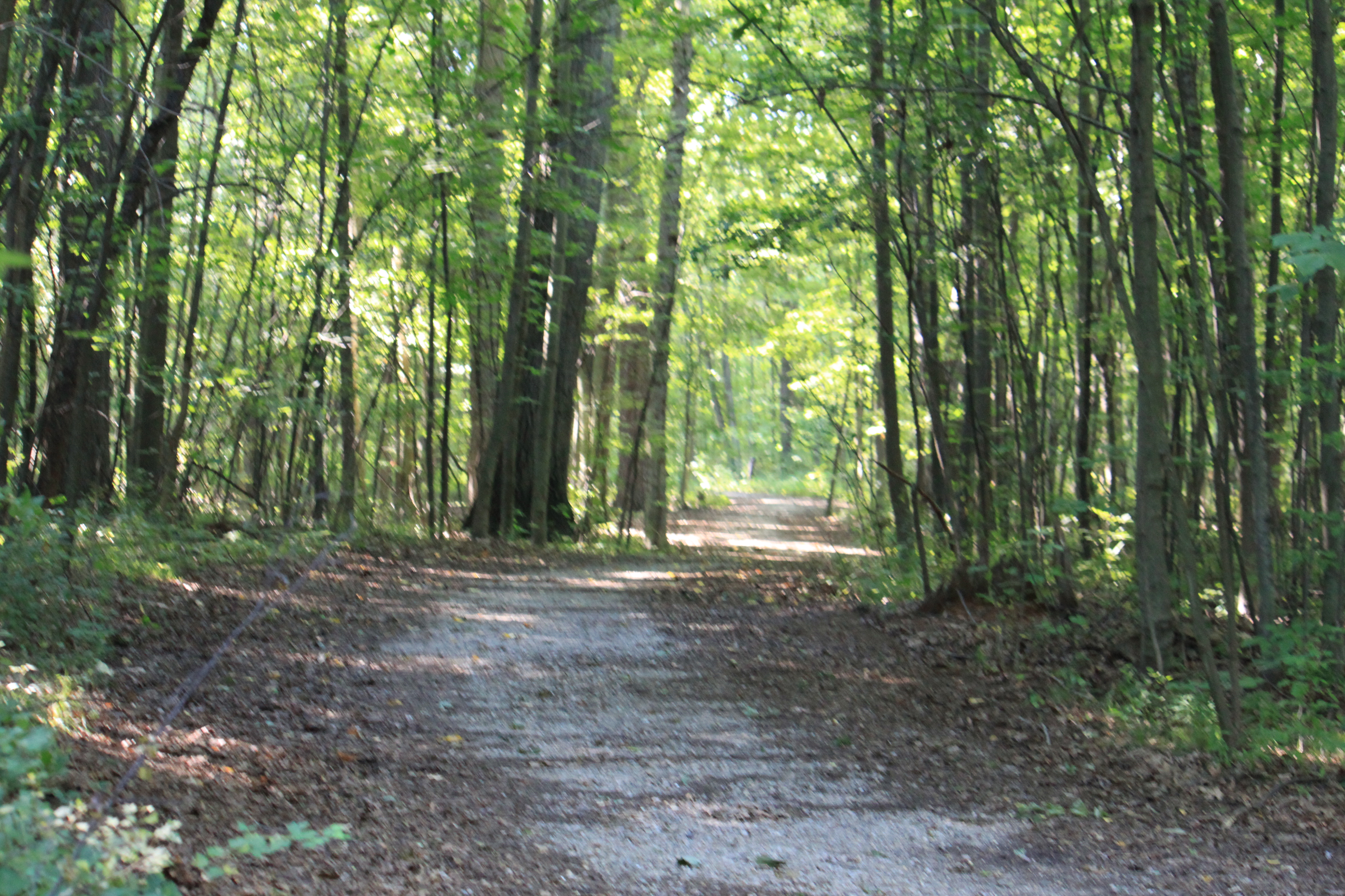
 Nature Center nature trail
References
- ^ http://gocitykids.parentsconnect.com/attraction/oakwoods-metropark-17845-savage-road-belleville-mi-48111-us
- ^ http://www.michigantrailmaps.com/Wayne/OakwoodsMP/OakwoodsIntro.html
- ^ http://events.detnews.com/new-boston-mi/venues/show/39373-oakwoods-metropark
- ^ http://www.yellowpages.com/belleville-mi/mip/oakwoods-metro-parks-14655718
External links
Parks in metropolitan Detroit Detroit city Belle Isle • Campau Park • Campus Martius • Chandler Park • Clark Park • Central Park • Dequindre Cut • International Riverfront • Engel Memorial Park • Ford Park • Fort Wayne • Gabriel Richard Park • Grand Circus • Layfayette Park • New Center Park • Owen Park • Palmer Park • Patton Park • Reid Memorial Park • State Fairgrounds • Three Mile Drive Park • Roosevelt Park
Metro
600 to 1,500 acres (243 to 607 ha)Addison Oaks • Algonac State Park • Belle Isle • Camp Dearborn • Crosswinds Marsh • Hayes State Park (Irish Hills) • Independence Oaks • Lower Huron • Metamora-Hadley Recreation Area • Metro Beach Metropark • River Rouge Park • Sterling State Park1,500 to 5,000 acres (607 to 2,023 ha) Bald Mountain • Brighton Recreation Area •
Hines Drive • Hudson Mills • Huron Meadows • Indian Springs • Kensington • Lake Erie Metropark • Pontiac Lake Recreation Area • Oakwoods • Pointe Mouillee State Game Area • Stony Creek Metropark • Wolcott Mill • Willowover 5,000 acres (2,023 ha) Detroit River International Wildlife Refuge • Highland Recreation Area • Ortonville Recreation Area • Waterloo State Recreation AreaWaterways Major beaches Belle Isle • Kensington • Lakeside Beach and Park • Lighthouse Beach and Park • Metro Beach • Stony CreekTrails
5 to 36 miles (8 to 58 km)Bald Mountain • Detroit River Walk / Dequindre Cut • Highland Recreation Lakes • Kensington • Lakelands Trail State Park • Maybury State Park • Novi North Park • Paint Creek Trail • Poly Ann Trail • Pontiac Lake Recreation Area • Stony Creek Inwood Trails • Waterloo-Pinckney TrailZoological and botanical See also Tourism in metropolitan Detroit and Huron-Clinton Metroparks
Metro Detroit Topics Architecture · Culture · Detroit River · Economy · Freeways · History · Historic places · International Riverfront · Lake St. Clair · Media · Music · Parks and beaches · People · Skyscrapers · Sports · Theatre · Tourism · Transportation
Major city Municipalities
over 80,000Canton Township · Clinton Township · Dearborn · Livonia · Sterling Heights · Troy · Warren · WestlandMunicipalities
45,000 to 80,000Dearborn Heights · Farmington Hills · Grosse Pointe · Macomb Township · Novi · Pontiac · Redford Township · Rochester Hills · Royal Oak · St. Clair Shores · Shelby Township · Southfield · Taylor · Waterford Township · West Bloomfield TownshipSatellite cities Counties in MSA Counties in CSA Regions Outlying regions Categories:- Huron–Clinton Metroparks
- Nature centers in Michigan
- Protected areas of Wayne County, Michigan
- Michigan geography stubs

Wikimedia Foundation. 2010.