Oatka Creek Park

Oatka Creek Park
Oatka Creek Park
Settlement
Country United States
State New York
County Monroe
Town Wheatland
Elevation 648 ft (197.5 m)
Coordinates 43°01′28.90″N 77°50′49.22″W / 43.024694°N 77.8470056°W / 43.024694; -77.8470056
Timezone EST (UTC-5)
 - summer (DST) EDT (UTC-4)
ZIP code 14546
Area code 585
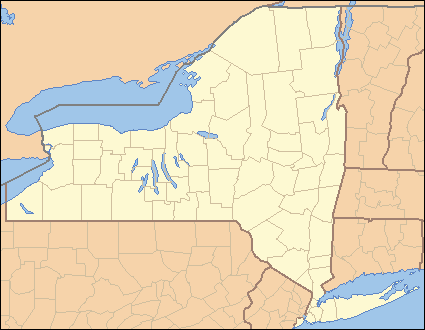
Location of Wheatland in New York
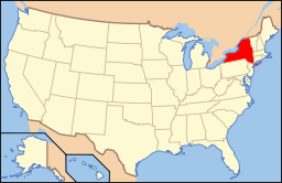
Location of New York in the United States
Website: http://www.monroecounty.gov/parks-oatka.php

Oatka Creek Park, part of the Monroe County park system, lies near the center of the Town of Wheatland. The park is bounded on the east by Union Street (County Road 170), the north by the tracks of the Rochester & Southern Railroad, and the west and south by Stewart Road. Immediately northeast of the park is the hamlet of Garbutt.

The principal entrance at 9797 Union Street is an extension of Quaker Road and leads to the Oatka Lodge, the one significant man-made feature of the park. The remainder of the park is undeveloped, with former farm fields reverting to their natural state.

Oatka Creek Park covers 461 acres (1.87 km2) along both banks of approximately one mile of Oatka Creek. It is open to the public between 0700 and 2300 daily in summer (reduced hours in winter), with a strict carry-in/carry-out rule to prevent the accumulation of garbage.

It is home to the Caledonia-Mumford Red Raiders and the Wheatland-Chili Wildcats Cross Country teams.

Park Website

http://www.monroecounty.gov/parks-oatka.php


Wikimedia Foundation. 2010.

Игры ⚽ Поможем решить контрольную работу

Look at other dictionaries:

  • Oatka Creek — Coordinates: 43°1′26″N 77°43′28″W / 43.02389°N 77.72444°W / 43.02389; 77.72444 …   Wikipedia

  • Wheatland, New York — Geobox Settlement name = Wheatland native name = other name = other name1 = category = Town image size = image caption = flag size = symbol = symbol size = nickname = nickname1 = motto = country = United States state = New York region type =… …   Wikipedia

  • Monroe County, New York — Location in the state of New York …   Wikipedia

  • U.S. Route 20A (New York) — U.S. Route 20A Map of New York with US 20A highlighted in red Route information …   Wikipedia

  • Marcellus Formation — Stratigraphic range: Middle Devonian …   Wikipedia

  • Genesee County, New York — Infobox U.S. County county = Genesee County state = New York map size = 250 founded = March 30 1802 seat = Batavia area total sq mi =495 area water sq mi =1 area percentage = 0.25% census yr = 2000 pop = 60370 density km2 =47 web = www.co.genesee …   Wikipedia

  • Stafford, New York —   Town   …   Wikipedia

  • New York State Route 383 — This article is about the current alignment of NY 383. For previous alignments of NY 383, see New York State Route 383 (disambiguation). NYS Route 383 Map of the …   Wikipedia

  • New York State Route 19 — NY 19 redirects here. NY 19 may also refer to New York s 19th congressional district. This article is about the current alignment of NY 19. For the former alignment of NY 19 in Ulster and Delaware Counties, see New York State Route 19 (1924–1930) …   Wikipedia

  • Genesee River — Geobox River name = Genesee River native name = other name = other name1 = image size = 300 image caption = Upper Genesee near Belmont country = USA country1 = state = New York state1 = Pennsylvania region type = Counties region = Monroe, NY… …   Wikipedia

Share the article and excerpts

Direct link
Do a right-click on the link above
and select “Copy Link”