- Upper Austrian Prealps
-
Upper Austrian Prealps Range State Upper Austria Range Northern Limestone Alps Coordinates 47°51′59.5″N 14°21′7.6″E / 47.866528°N 14.352111°E Highest point Hoher Nock - elevation 1,963 m (6,440 ft) Classification AVE 17b  Location of the Upper Austrian Prealps within the Eastern Alps
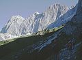
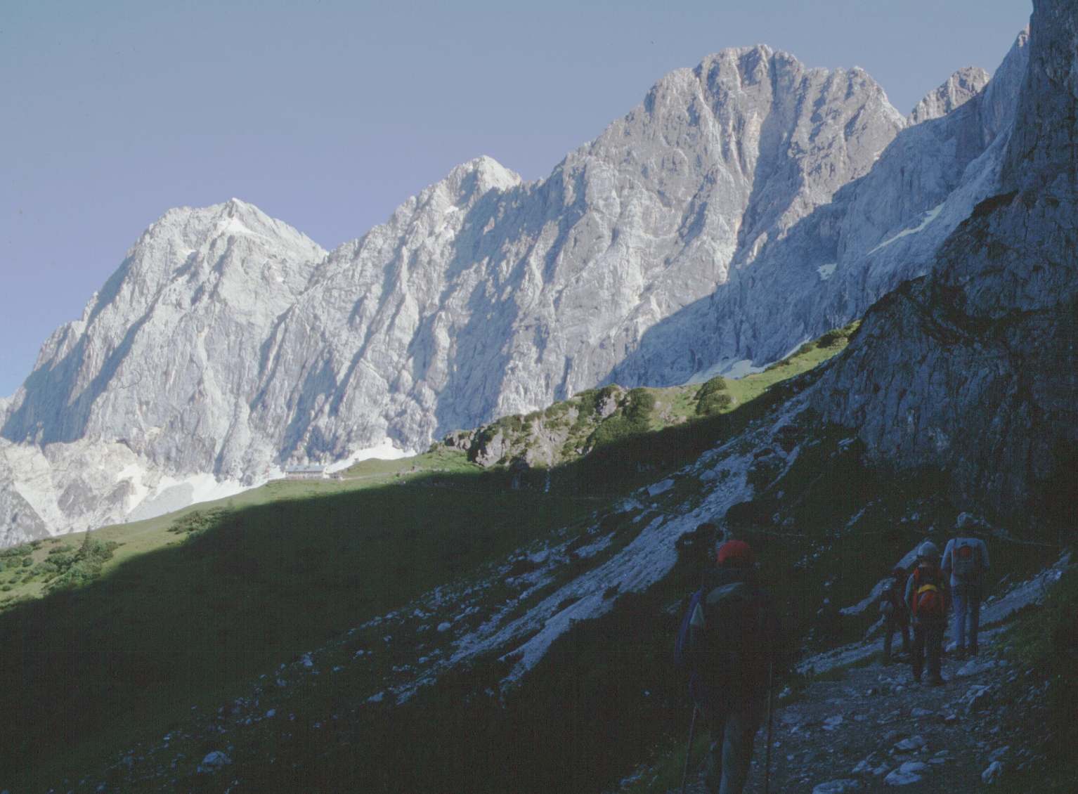
The Upper Austrian Prealps (German: Oberösterreichische Voralpen) is a mountain range in Austria which, according to the Categorisation of the Eastern Alps, covers the region between the valley of the Traun (Gmunden) in the west and the Enns valley in the east, from Steyr in the north. It is usually counted as part of the Enns- and Steyrtal Prealps and Salzkammergut Prealps (separated somewhat by the Steyr valley). Politically it covers the districts of Steyr-Land and Kirchdorf. Large parts are located within the Limestone Alps National Park.
It includes the following mountain groups:
- Sengsengebirge
- Reichraminger Hintergebirge
Other well-known peaks are the:
- Kremsmauer
- Kasberg
- Traunstein
The Totes Gebirge range in the south is no longer counted as part of the Prealps, but the Upper Austrian Limestone High Alps. The AVE classifies it as its own group.
External links
Allgäu Alps | Ammergau Alps | Bavarian Prealps | Berchtesgaden Alps | Brandenberg Alps | Bregenzerwaldgebirge | Chiemgau Alps | Dachstein | Ennstal Alps | Gutenstein Alps | Hochschwab | Kaisergebirge | Karwendel | Lechquellengebirge | Lechtal Alps | Leoganger Steinberge | Loferer Steinberge | Mieminger Chain | Mürzsteg Alps | Upper Austrian Prealps | Rax-Schneeberg Group | Rofangebirge | Salzburg Slate Alps | Salzkammergut Mountains | Tennengebirge | Totes Gebirge | Türnitz Alps | Wetterstein | Vienna Woods | Ybbstal Alps
Coordinates: 47°51′59.5″N 14°21′7.6″E / 47.866528°N 14.352111°ECategories:- Northern Limestone Alps
- Mountain ranges of the Alps
- Upper Austrian Prealps
- Mountain ranges of Upper Austria
- Regions of Upper Austria

Wikimedia Foundation. 2010.