- Ocosingo
-
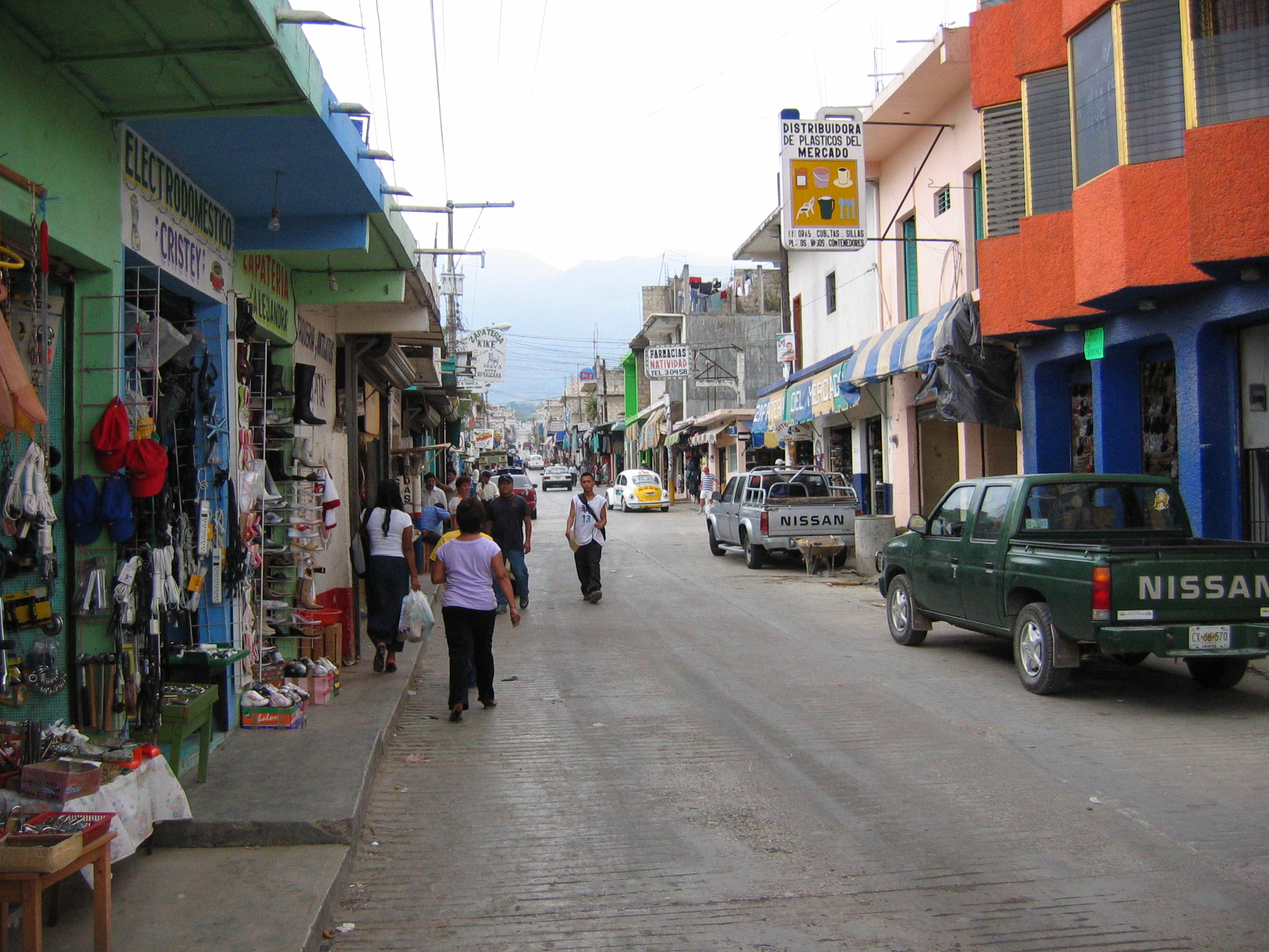
Ocosingo — Municipality — Street in Ocosingo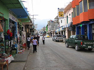 Location in Mexico
 Ocosingo
Coordinates: 16°54′24″N 92°05′38″W / 16.90667°N 92.09389°W Country  Mexico
State Chiapas Area - Municipality 3,326.9 sq mi (8,616.71 km2) Population (2005) - Municipality 170,280 - Metro 35,065 Ocosingo is a city and its surrounding municipality (municipio) of the same name in the Mexican state of Chiapas. The municipality borders the Usumacinta River along a portion where the river forms the international border with Guatemala. The city had a 2005 census population of 35,065 inhabitants, and serves as municipal seat of the municipality, which had a population of 170,280. The municipality has a relatively large area of 8,616.71 km² (3,326.93 sq mi). There are numerous smaller towns in the municipality, the largest of which are Nueva Palestina, Tenango, and Frontera Corozal.
Ocosingo was given city status on 31 July 1979.[1]
Several notable Maya archaeological sites are nearby, including Bonampak and Toniná.
Ocosingo rose to national prominence during the Zapatista uprising of 1994. It was occupied by the EZLN along with several other towns in Chiapas (including San Cristóbal). The EZLN retreated from most towns before the arrival of the Mexican army but not so in Ocosingo. Thus, the town saw several days of intense fighting, leaving dozens of rebels, soldiers and civilians dead.
References
- Link to tables of population data from Census of 2005 INEGI: Instituto Nacional de Estadística, Geografía e Informática
- Chiapas Enciclopedia de los Municipios de México
Coordinates: 16°54′24″N 92°05′38″W / 16.90667°N 92.09389°W
Categories:- Populated places in Chiapas
- Municipalities of Chiapas
- Chiapas geography stubs


Wikimedia Foundation. 2010.