Onward — ist der Name mehrerer Orte in den Vereinigten Staaten: Onward (Indiana) Onward (Mississippi) Diese Seite ist eine Begriffsklärung zur Unterscheidung mehrerer mit demselben Wort bezeichneter Begriffe … Deutsch Wikipedia
Mississippi Highway 1 — MS Highway 1 Route information Maintained by MDOT Length: 148.431 mi … Wikipedia
Jackson, Mississippi — This article is about Jackson, the city and related subjects within the city. For subjects outside the city but relating to the Jackson metro area, see Jackson metropolitan area. For the county in the Mississippi Gulf Coast, see Jackson County,… … Wikipedia
Portal:Mississippi — Shortcuts: P:MISS P:WPMS Wikipedia portals: Culture Geography Health History Mathematics Natural sciences People Philosophy Religion Society Technology … Wikipedia
List of state highways in Mississippi — infobox state highway system shields= caption=Standard route shields state=Mississippi Highway X (MS X) interstate=Interstate X (I X) us=U.S. Route X (US X)State highways in Mississippi are maintained by the Mississippi Department of… … Wikipedia
Delta City, Mississippi — Unincorporated community … Wikipedia
Nitta Yuma, Mississippi — Nitta Yuma is an unincorporated community located in Sharkey County, Mississippi. Nitta Yuma is located along U.S. Highway 61 approximately four miles north of Anguilla, Mississippi. Nitta Yuma has a postal zip code of 38763. Coordinates:… … Wikipedia
Sharkey County, Mississippi — Infobox U.S. County county = Sharkey County state = Mississippi map size = 150 founded = 1876 seat = Rolling Fork largest city = Rolling Fork | area total sq mi =435 area land sq mi =428 area water sq mi =7 area percentage = 1.65% census yr =… … Wikipedia
Stonewall, Mississippi — Infobox Settlement official name = Stonewall, Mississippi settlement type = Town nickname = motto = imagesize = image caption = image imagesize = image caption = image mapsize = 250px map caption = Location of Stonewall, Mississippi mapsize1 =… … Wikipedia
native American — native American, adj. a person born in the United States. [1835 45, Amer.] * * * ▪ indigenous peoples of Canada and United States Introduction also called American Indian, Amerindian, Amerind, Indian, Aboriginal American, or First Nation… … Universalium
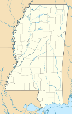
 Onward, Mississippi

