Cochecho River

Cochecho River

Coordinates: 43°10′36″N 70°49′35″W / 43.1768°N 70.8263°W / 43.1768; -70.8263

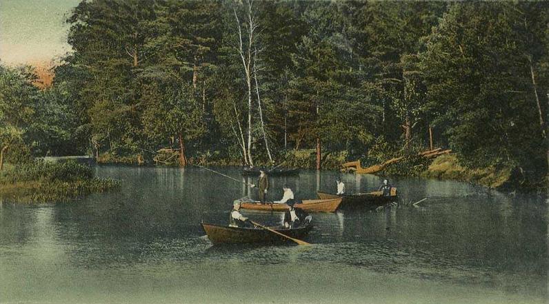
Cochecho River at Rochester, New Hampshire

The Cochecho River or Cocheco River is a tributary of the Piscataqua River, 38.3 miles (61.6 km) long,[1] in the U.S. state of New Hampshire. It rises in northern Strafford County and runs southeastward, through the town of Farmington and the cities of Rochester and Dover, where it provides hydroelectric power. Below the center of Dover, the river is tidal and joins the Salmon Falls River at the Maine border to form the Piscataqua.

Cochecho is an Abenaki word believed to mean "rapid foaming water", referring to the river's falls in today's downtown Dover. Settlers adopted the name for the entire river. It is believed that the shift from Cochecho to Cocheco can be traced to a clerical error at the 1827 incorporation of the defunct Cocheco Manufacturing Company[2]. The spelling "Cocheco" was adopted as the official name of the river in a 1911 decision by the United States Board on Geographic Names. The river has also been known as the Dover River.[3]

Significant tributaries include the Ela River, the Mad River, and the Isinglass River.

References


Wikimedia Foundation. 2010.

Игры ⚽ Нужна курсовая?

Look at other dictionaries:

  • Piscataqua River — Geobox River name = Piscataqua River native name = other name = other name1 = image size = 300 image caption = Piscataqua River from Portsmouth, NH, with the Sarah Mildred Long Bridge and the Piscataqua River Bridge (background). country = USA… …   Wikipedia

  • Salmon Falls River — The Salmon Falls River is a tributary of the Piscataqua River in the U.S. states of Maine and New Hampshire. It rises at Great East Lake and flows south southeast for approximately convert|38|mi, forming the border between Maine and New Hampshire …   Wikipedia

  • Isinglass River — The Isinglass River in Strafford County, southeastern New Hampshire, the United States, is about 15 miles (24 km) long [ [http://www.granit.sr.unh.edu New Hampshire GRANIT state geographic information system] ] . It rises at Bow Lake in Strafford …   Wikipedia

  • Dover, New Hampshire — City of Dover   City   Central Square c. 1905 …   Wikipedia

  • Bahnstrecke Wilmington–Agamenticus — Wilmington MA–Agamenticus ME, Stand 1999[1] Gesellschaften: PAR, MBTA Streckenlänge: 89,4 km Spurweite: 1435 mm (Normalspur) Gleise: 1–2 (früher durchgehend 2) …   Deutsch Wikipedia

  • Farmington, New Hampshire — Infobox Settlement official name = Town of Farmington nickname = motto = imagesize = image caption = image mapsize = 250px map caption = Location within Strafford County, New Hampshire settlement type = Town mapsize1 = map caption1 = subdivision… …   Wikipedia

  • List of rivers of New Hampshire — This is a list of rivers and significant streams in the U.S. state of New Hampshire.All watercourses named River (freshwater or tidal) are listed here, as well as other streams which are either subject to the… …   Wikipedia

  • Liste der Flüsse in New Hampshire — Aufgezählt sind alle Wasserläufe im US Bundesstaat New Hampshire, die länger als 16 km (10 Meilen) sind oder staatlichen Uferschutz haben. Flüsse können dann Uferschutz haben, wenn sie die Flussordnungszahl 4 haben oder größer sind.… …   Deutsch Wikipedia

  • Rochester, New Hampshire — Infobox Settlement official name = City of Rochester settlement type = City nickname = The Lilac City motto = imagesize = image caption = City Hall c. 1910 image mapsize = 250px map caption = Location within Strafford County, New Hampshire… …   Wikipedia

  • Mill town — For places called Milltown, see Milltown (disambiguation). Mill village redirects here. For other uses, see Mill Village (disambiguation). A mill town, also known as factory town or mill village, is typically a settlement that developed around… …   Wikipedia

Share the article and excerpts

Direct link
Do a right-click on the link above
and select “Copy Link”