- Horn River Formation
-
Horn River Formation
Stratigraphic range: Middle to Late Devonian
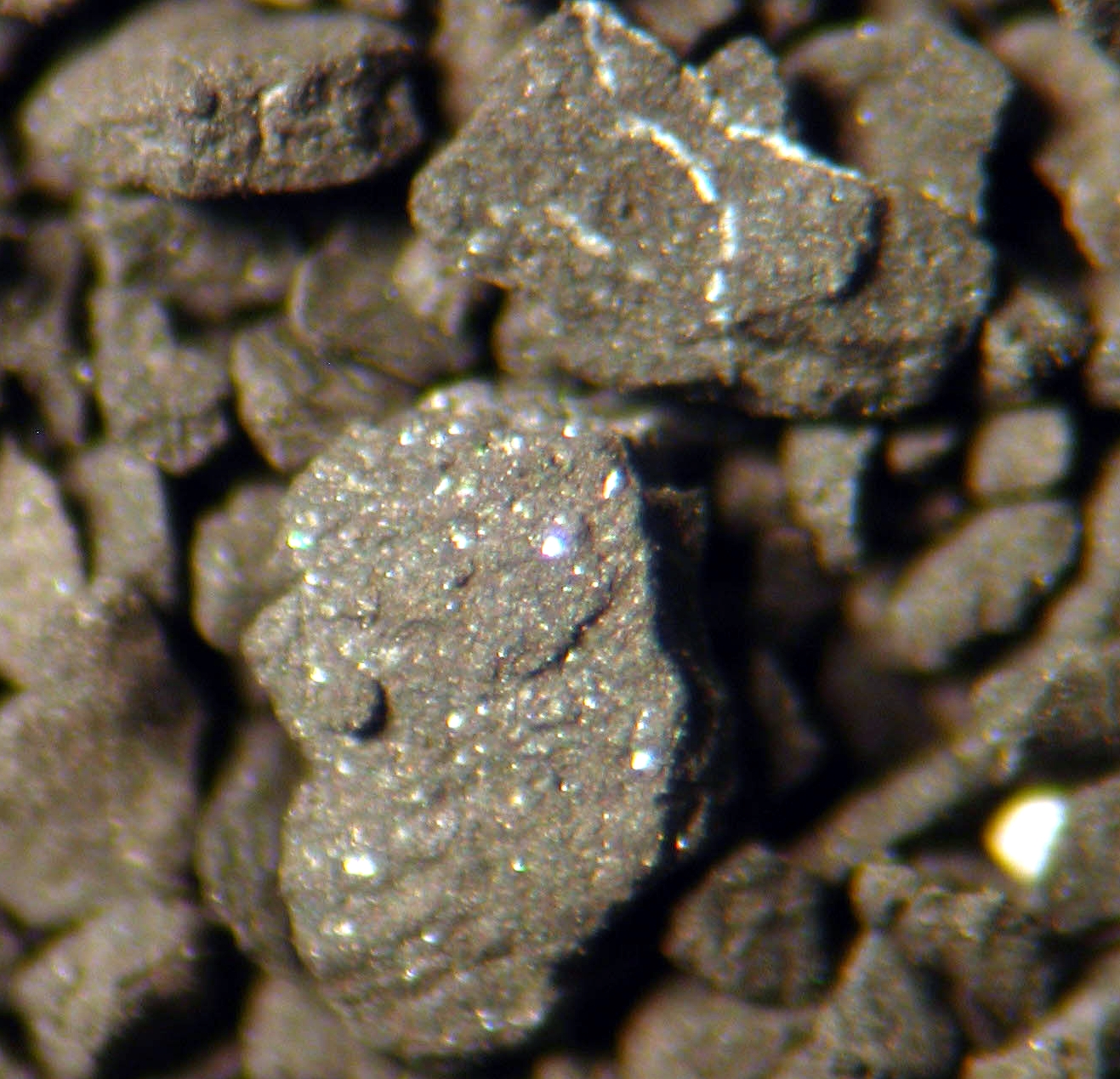
Drill cuttings sample seen through microscopeType Geological formation Sub-units Muskwa Member, Otter Park Member, Evie Member Underlies Fort Simpson Formation Overlies Pine Point Formation Thickness up to 320 metres (1,050 ft)[1] Lithology Primary Shale Other Limestone Location Named for Horn River Named by Whittaker, 1922 Coordinates 61°44′00″N 117°45′00″W / 61.73333°N 117.75000°WCoordinates: 61°44′00″N 117°45′00″W / 61.73333°N 117.75000°W Region  British Columbia,
  Northwest Territories
Country  Canada
The Horn River Formation (also Horn River Shale) is a stratigraphical unit of Devonian age in the Western Canadian Sedimentary Basin.
It takes the name from the Horn River, a tributary of the Mackenzie River, and was first described in outrop on the banks of Horn River in the Northwest Territories (at the time District of Mackenzie) by Whittaker in 1922.[2] It was redefined in 1963 in the sub-surface of the Fort Nelson area (well Fort Nelson a-95-J/94-J-10) by F.F. Gray and J.R. Kassube.[3]
Contents
Lithology
The Horn River Formation is composed of argillaceous bitumenous limestone, and dark siliceous and calcareous shale. [1]
Hydrocarbon production
Shale gas is produced from the siliceous shale of the Horn River Formation in north-eastern British Columbia, in the Greater Sierra field, north of Fort Nelson. Horizontal drilling and fracturing techniques are used to extract the gas from the low permeability shales.[4] The original-gas-in-place volumes are estimated to be up to 500 Tcf [5], making it the third largest North American natural gas accumulation discovered prior to 2010[6]. Companies involved in the extraction of natural gas from the Horn River Shale include EnCana, Apache, EOG, Stone Mountain Resources, Exxon, Quicksilver Resources, Nexen and Devon Energy.
Distribution
The Horn River Formation occurs in north-eastern British Columbia and extends to Great Slave Lake in the Northwest Territories, where it outcrops. It reaches a maximum thickness of 320 metres (1,050 ft) in the sub-surface of the Fort Nelson area.[1]
Relationship to other units
The Horn River Formation is overlain by the Fort Simpson Formation and underlain by the limestones of the Lonely Bay Formation, Nahanni Formation or Pine Point Formation.[1]
It is equivalent to the Slave Point Formation. It includes the Muskwa Formation, and the Waterways Member of the Hay River Formation in the Northwest Territories. It includes the pinnacle reefs of the Horn Plateau Formation.
Sub-divisions
The Horn River Shale was divided into the following members, from top to base:
- Muskwa Member: bituminous, radioactive shale[7]
- Otter Park Member: grey calcareous shale[8]
- Evie Member: black silty limestone[9]
References
- ^ a b c d Lexicon of Canadian Geologic Units. "Horn River Formation". http://cgkn1.cgkn.net/weblex/weblex_litho_detail_e.pl?00053:016853. Retrieved 2009-03-25.
- ^ Whittaker, E.J., 1922. Mackenzie River District between Great Slave Lake and Simpson. Geological Survey of Canada Summary Report 1921, Part B, p. 45-56.
- ^ Gray, F.F. and Kassube, J R., 1963. Geology and stratigraphy of Clarke Lake gas field, northeastern British Columbia. American Association of Petroleum Geologists, v. 47, p. 467-483.
- ^ "The Horn River Basin". http://chinookconsulting.ca/News/HornRiver.html. Retrieved 2009-05-21.
- ^ "Encana estimates up to 500 trillion cubic feet in Horn River Basin". http://hornrivernews.com/2009/09/10/encana-estimates-up-to-500-trillion-cubic-feet-in-horn-river-basin/. Retrieved 2010-01-25.
- ^ Simon Mauger, Dana Bozbiciu (2011). "How Changing Gas Supply Cost Leads to Surging Production". http://www.ziffenergy.com/download/papers/Gas_Costs_Supply_%20Growth_April_2011_web_version.pdf. Retrieved 2011-05-10.
- ^ Lexicon of Canadian Geologic Units. "Muskwa Member". http://cgkn1.cgkn.net/weblex/weblex_litho_detail_e.pl?00053:010446. Retrieved 2009-03-25.
- ^ Lexicon of Canadian Geologic Units. "Otter Park Member". http://cgkn1.cgkn.net/weblex/weblex_litho_detail_e.pl?00053:016854. Retrieved 2009-03-25.
- ^ Lexicon of Canadian Geologic Units. "Evie Member". http://cgkn1.cgkn.net/weblex/weblex_litho_detail_e.pl?00053:004760. Retrieved 2009-03-25.
Western Canadian Sedimentary Basin Hydrocarbon history Depositional Regions Southern Alberta · Central Alberta · Northwestern Alberta Plains · South-central Canadian Rockies foothills · North-east Plains · North-central foothills · Liard River · Fort Nelson · Northern Rocky Mountains · Fort St. John · Saskatchewan · Western ManitobaFort Nelson Area Wapiti GRP · Kotaneelee FM · Dunvegan FM · Ft. St. John GRP (Sully FM · SikanniFM · Buckinghorse FM · Scatter FM) · Belloy FM · Rundle GRP (Debolt FM · Shunda FM · Pekisko FM) · Banff FM · Exshaw FM · Kotcho FM · Tetcho FM · Trout River FM · Kakisa FM · Redknife FM (Jean Marie MBR) · Fort Simpson FM · Horn River FM · Muskwa FM · Waterways FM · Slave Point FM · Watt Mountain FM · Muskeg FM · Sulphur Point FM · Presqu'ile FM · Pine Point FM · Keg River FM · Chinchaga FM · Canadian ShieldShale gas · Shale gas by country Geological formations Alum · Antrim · Barnett · Conasauga · Haynesville · Horn River · Marcellus · Montney · Muskwa · New Albany · UticaCategories:- Stratigraphy of British Columbia
- Stratigraphy of the Northwest Territories
Wikimedia Foundation. 2010.