- Oudon (river)
-
Oudon 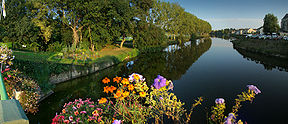
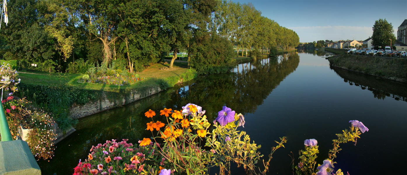
Sunset on Le Lion-d'AngersOrigin La Gravelle
48°04′12″N 01°00′30″W / 48.07°N 1.00833°WMouth Mayenne
47°36′59″N 00°41′41″E / 47.61639°N 0.69472°ECoordinates: 47°36′59″N 00°41′41″E / 47.61639°N 0.69472°EBasin countries France Length 103.2 km (64.1 mi) Source elevation 150 m (490 ft) Mouth elevation 18 m (59 ft) Avg. discharge 9.04 m3/s (319 cu ft/s) at mouth Basin area 1,350 km2 (520 sq mi) The Oudon is a 103.2 km (64.1 mi) long river in the Mayenne and Maine-et-Loire départements, western France. Its source is near La Gravelle. It flows generally south east. It is a right tributary of the Mayenne into which it flows between Le Lion-d'Angers and Grez-Neuville.
Its main tributary is the Verzée.
Départements and communes along its course
This list is ordered from source to mouth:
- Mayenne: La Gravelle, Saint-Cyr-le-Gravelais, Ruillé-le-Gravelais, Montjean, Beaulieu-sur-Oudon, Méral, Cossé-le-Vivien, La Chapelle-Craonnaise, Athée, Livré-la-Touche, Craon, Bouchamps-lès-Craon, Chérancé
- Maine-et-Loire: Châtelais, L'Hôtellerie-de-Flée, Nyoiseau, Sainte-Gemmes-d'Andigné, Segré, La Chapelle-sur-Oudon, Andigné, Louvaines, Saint-Martin-du-Bois, Montreuil-sur-Maine, Le Lion-d'Angers and Grez-Neuville
Notes
- This article is based on the equivalent article from the French Wikipedia, consulted on March 12th 2009.
References
Categories:- Mayenne geography stubs
- Maine-et-Loire geography stubs
- Rivers of France
- Loire basin
- Mayenne
- Maine-et-Loire
Wikimedia Foundation. 2010.