- Ovapa, West Virginia
-
Ovapa, West Virginia — Unincorporated community — 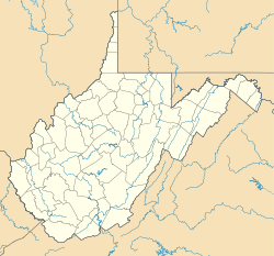
 Ovapa, West Virginia
Coordinates: 38°31′17″N 81°08′55″W / 38.52139°N 81.14861°WCoordinates: 38°31′17″N 81°08′55″W / 38.52139°N 81.14861°W Country United States State West Virginia County Clay Elevation 876 ft (267 m) Time zone Eastern (EST) (UTC-5) - Summer (DST) EDT (UTC-4) Area code(s) 304 & 681 GNIS feature ID 1555285[1] Ovapa is an unincorporated community in Clay County, West Virginia, United States. Ovapa is 5.5 miles (8.9 km) northwest of Clay.
References
Municipalities and communities of Clay County, West Virginia County seat: Clay Town 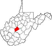
Unincorporated
communitiesAdonijah | Bentree‡ | Bickmore | Big Otter | Bomont | Dille | Duck | Floe | Fola | Glen | Harrison | Independence | Indore | Ivydale | Little Italy | Lizemores | Maysel | Nebo | O'Brion | Ovapa | Porter | Procious | Swandale | Valley Fork | Wallback‡ | Whetstone | Widen
Footnotes ‡This populated place also has portions in an adjacent county or counties
Categories:- Populated places in Clay County, West Virginia
- Unincorporated communities in West Virginia
- Mountain Lakes geography stubs


Wikimedia Foundation. 2010.